
Several travel bloggers raved about visiting Farewell Spit, which is at the northern tip of the South Island. To do this you need to drive out to Collingwood (never to be mistaken for Hollywood), which is a bit of a hair-raising adventure on it’s own. There is only one road in and out of this little region, and that road is one lane for about 2 km as the roadway has literally eroded away in spots, as in half the road has fallen down the hill! Prepare for up to a fifteen minute wait on this section called Takaha Hill. I don’t see any sign that they are doing anything to repair it, so it will be like this for awhile.
Collingwood is a very tiny town, with one small grocery store, a few motels, and a handful of restaurants. The restaurants aren’t always open, so your choices may be limited. Avoid Mad Cafe if you possibly can, unless you are a fan of homeless people straight from Berkeley’s “Peoples Park” cooking for you. What a motley crew. I was surprised to not find a dreadlock in my burger. I would have preferred it if a Maine Coon cat with a nasty hairball cooked my food. Did I make my point about Mad Cafe? I hope so.
The amenities of the town aside, Farewell Spit Tours starts here.
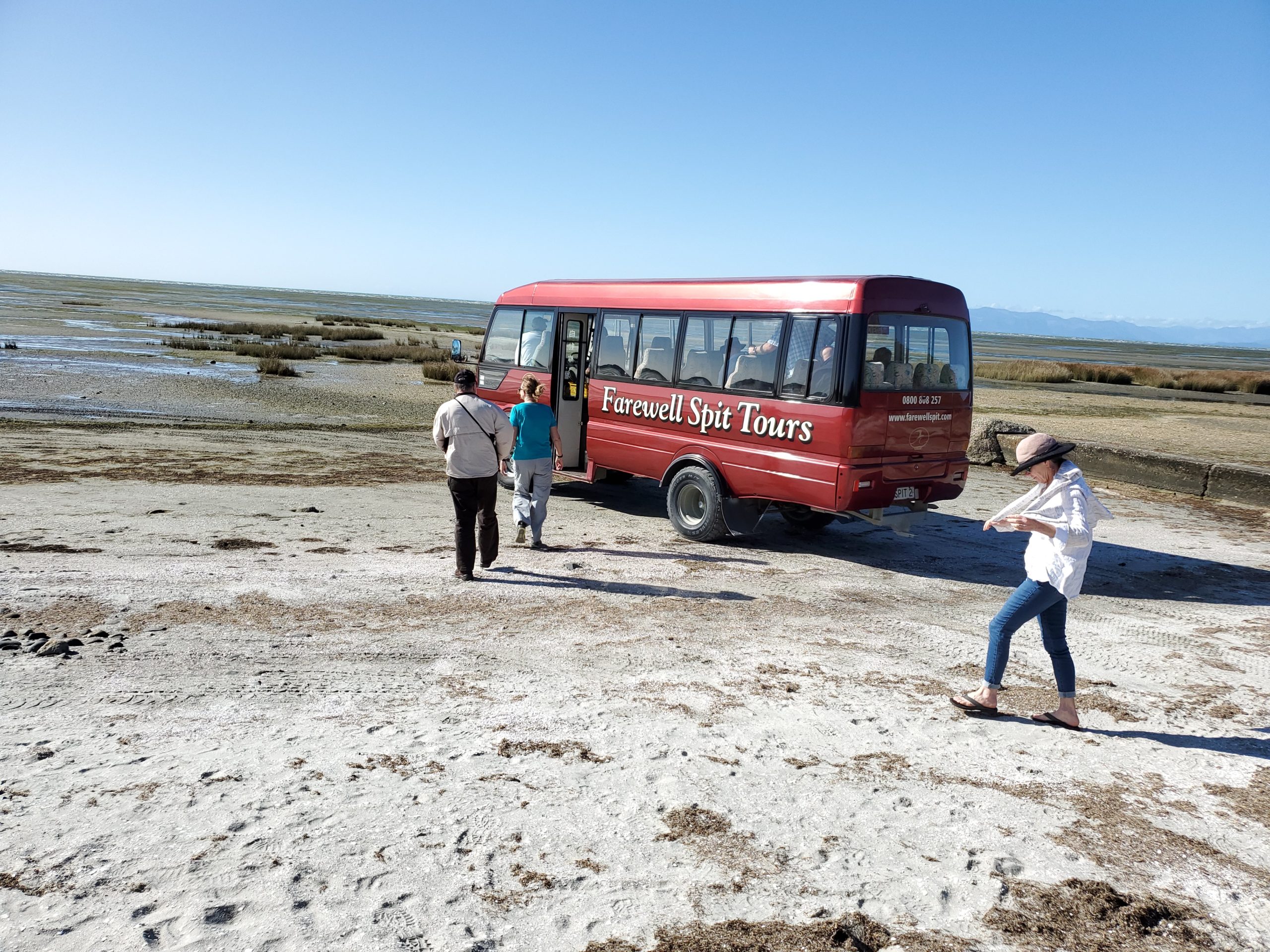
The starting time is all based on the low tide, as the spit cannot be accessed during higher tides. Farewell Spit Tours is the only operator allowed on the spit. They have been operating these tours since 1946, when they were first contracted to bring the mail out to the families working the lighthouse once a week, with tourists riding in the back of their 4WD truck.
You can park at the start of the spit and walk in, but you can’t walk in very far, so to really see the bulk of the 26km long spit, you need to take this tour.
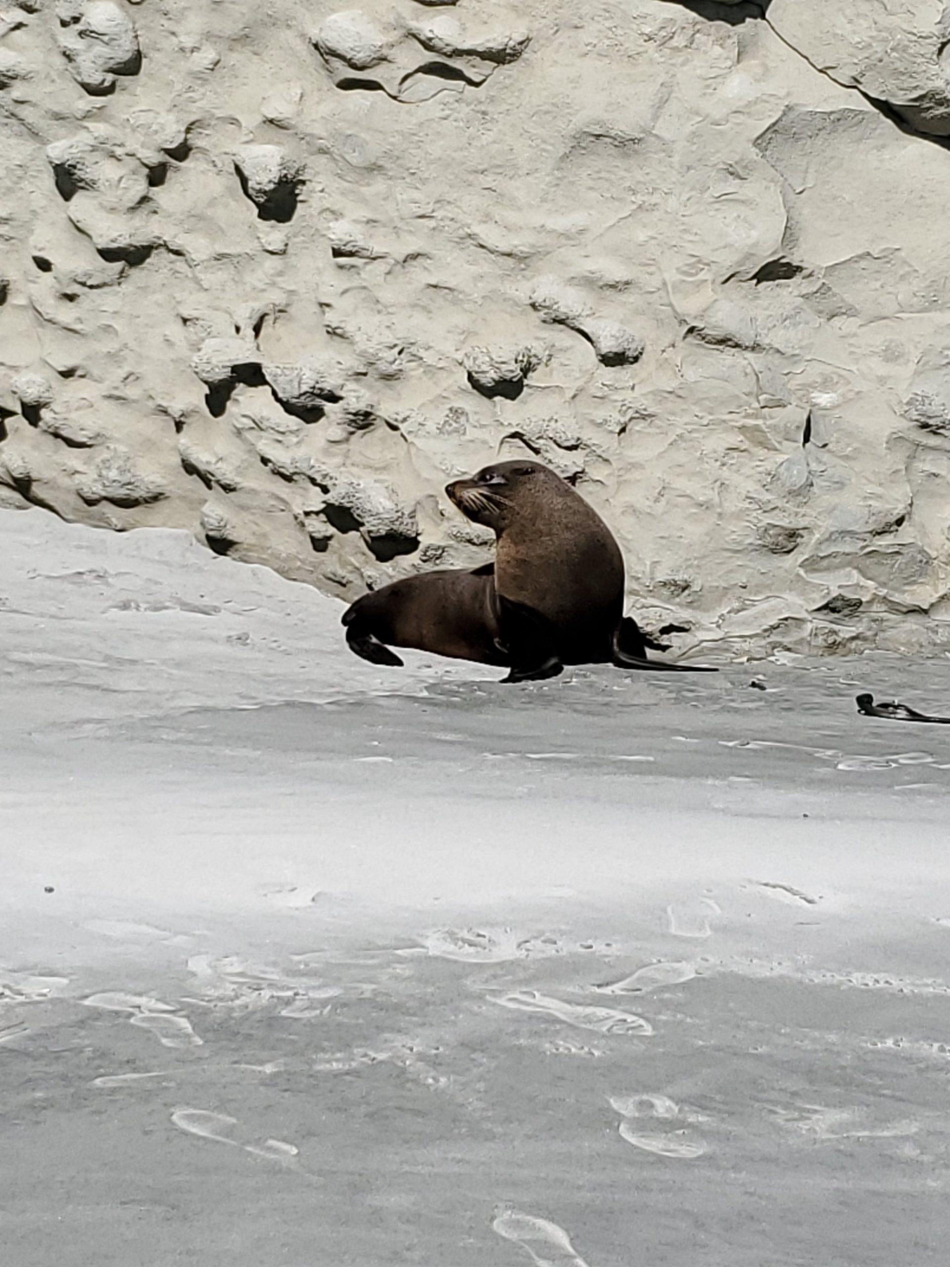
The tour starts off at Fossil Point, where there are a few fossilized shells along the seawall, but IMO not enough to name it Fossil Point. There are also a couple of fur seals hanging around. This one was definitely into the attention, posing for everybody. Maybe they could rename it Posing Seal Point?
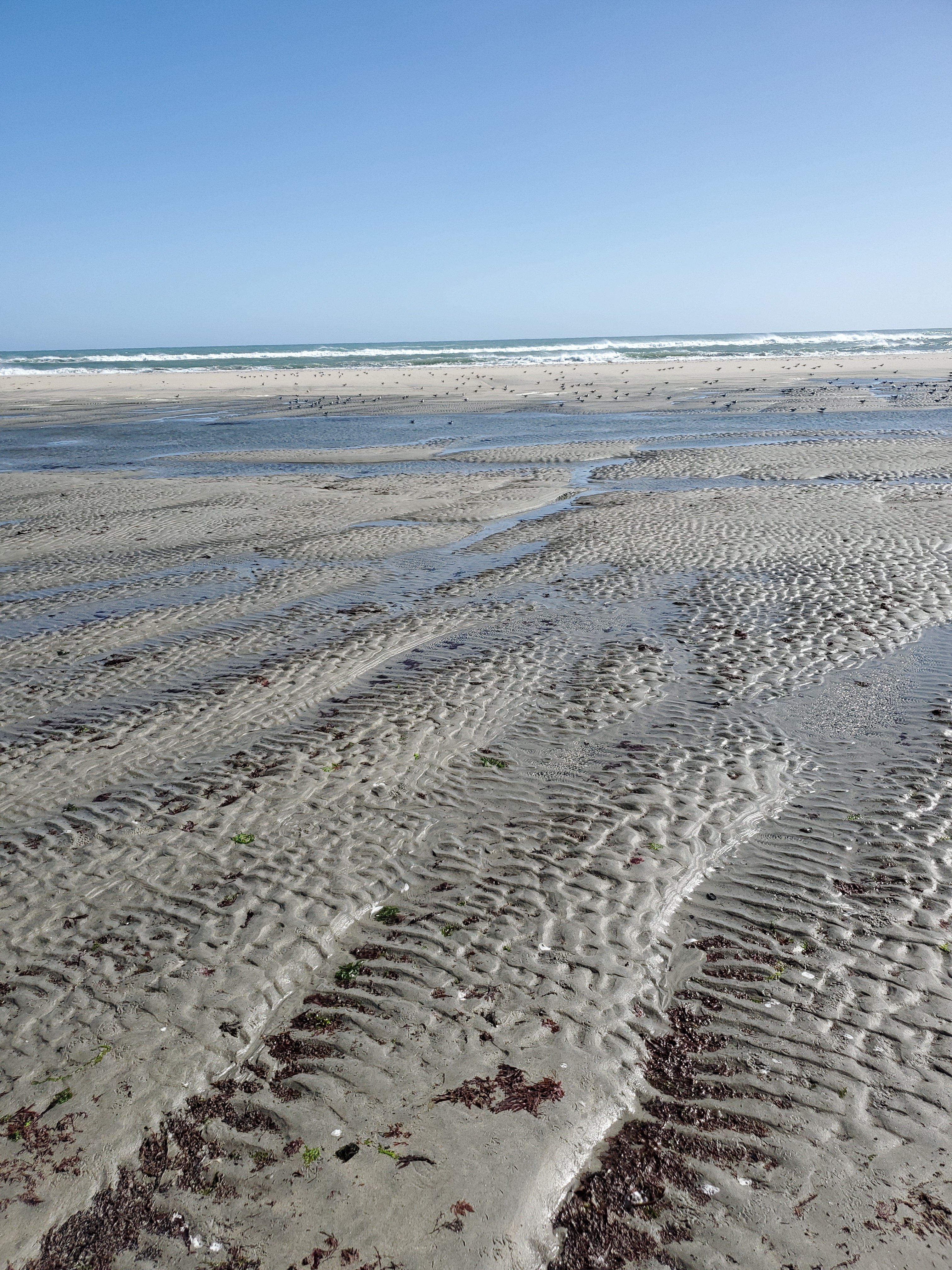
The bus drives out the spit at around 60 mph (about 97kmph for my european friends) in spots, and stops along the way to give you various views of the beaches.
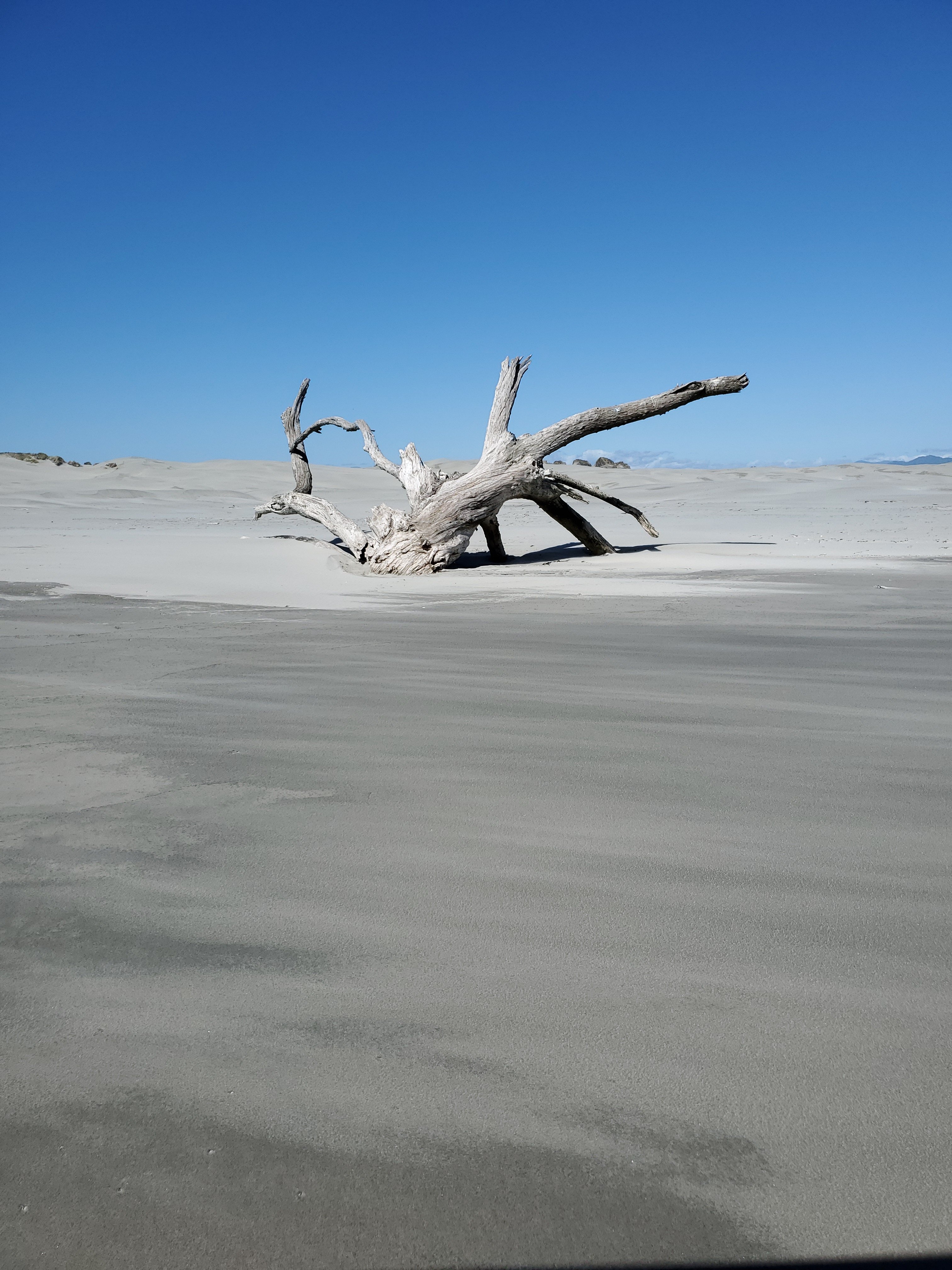
This tree washed up during a recent storm. It’s like a desert wasteland. This would be a great spot to film a post apocalyptic movie.
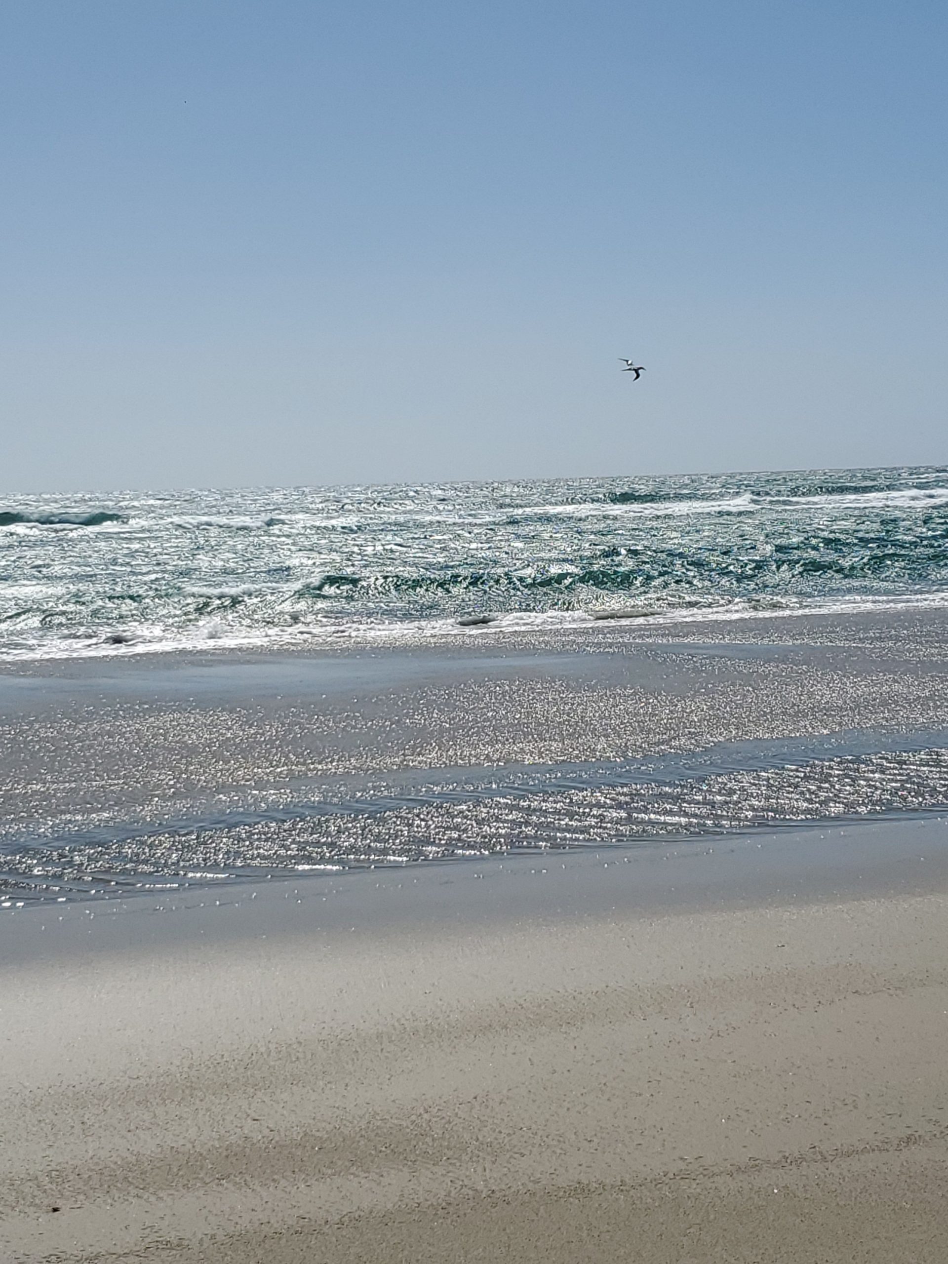
The bird you can barely see in the photo is a Gannet, of where there is a large colony on the spit. These birds are fun to watch as they dive into the surf over and over again trying to catch fish.
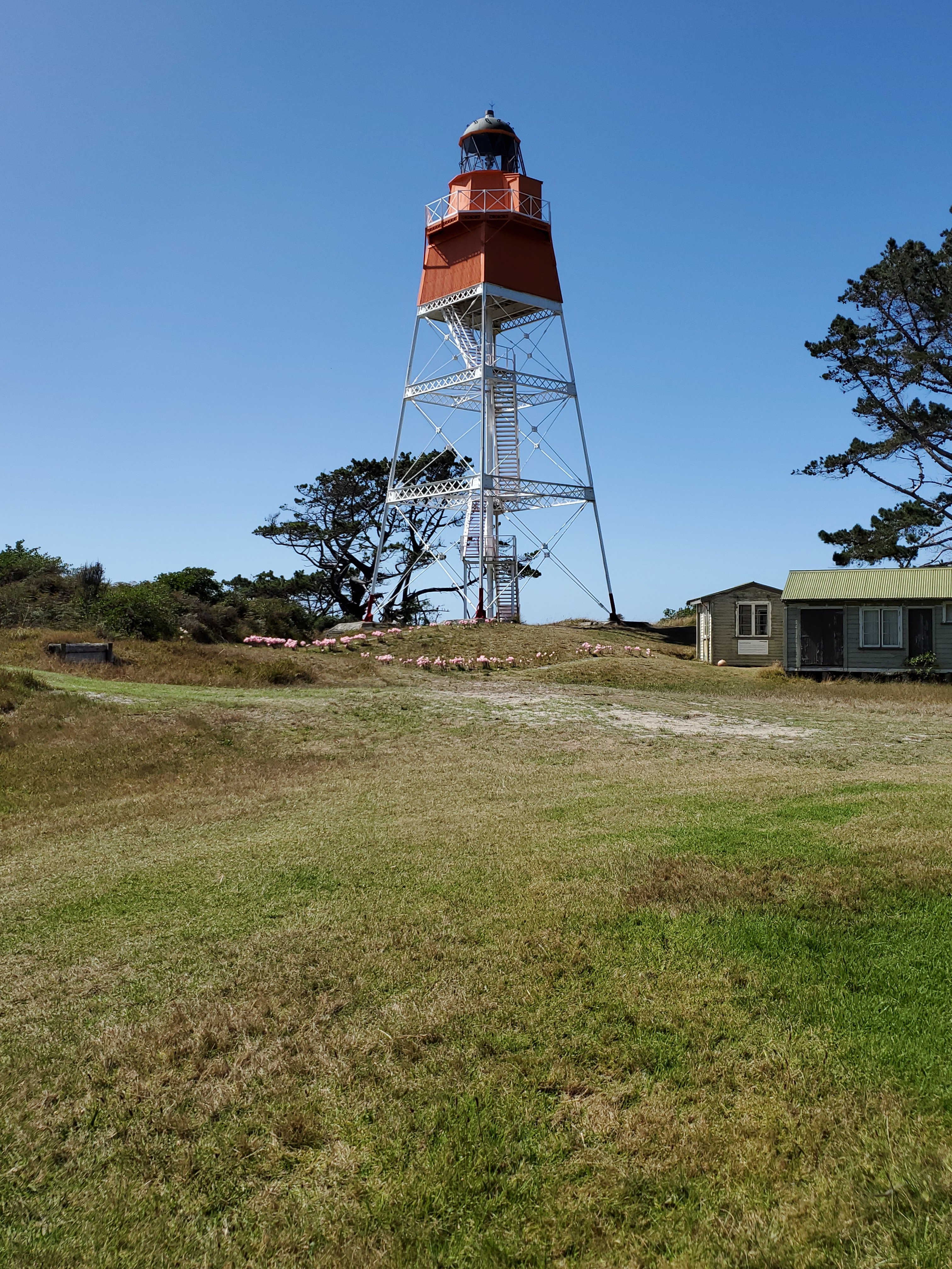
The bus stops at the old lighthouse (built in 1897), and one of the homes the lighthouse keepers used is set up as a small museum, where they serve tea and coffee before the drive back. There are no longer lighthouse keepers on the spit, as the entire operation was automated back in 1984.
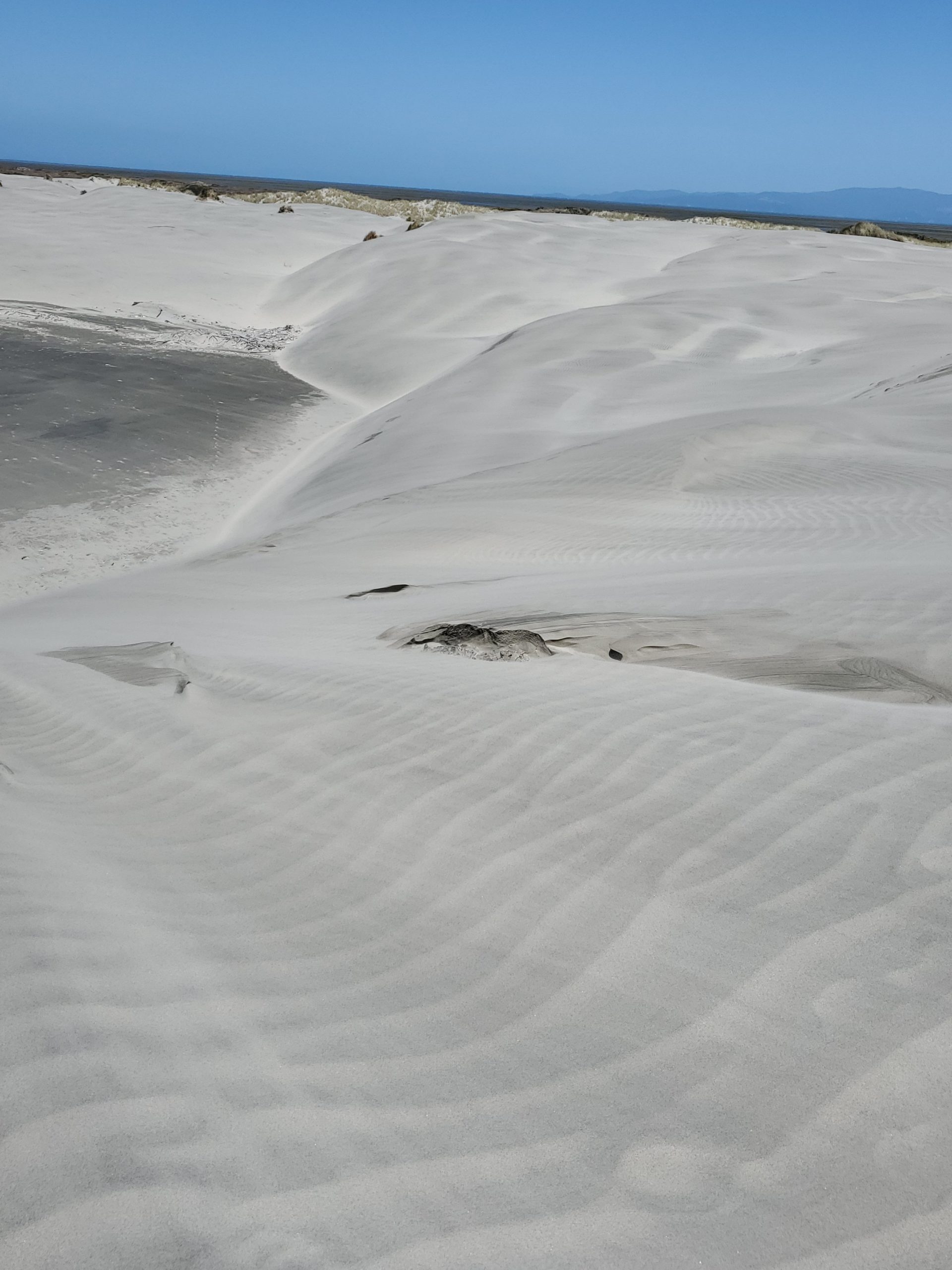
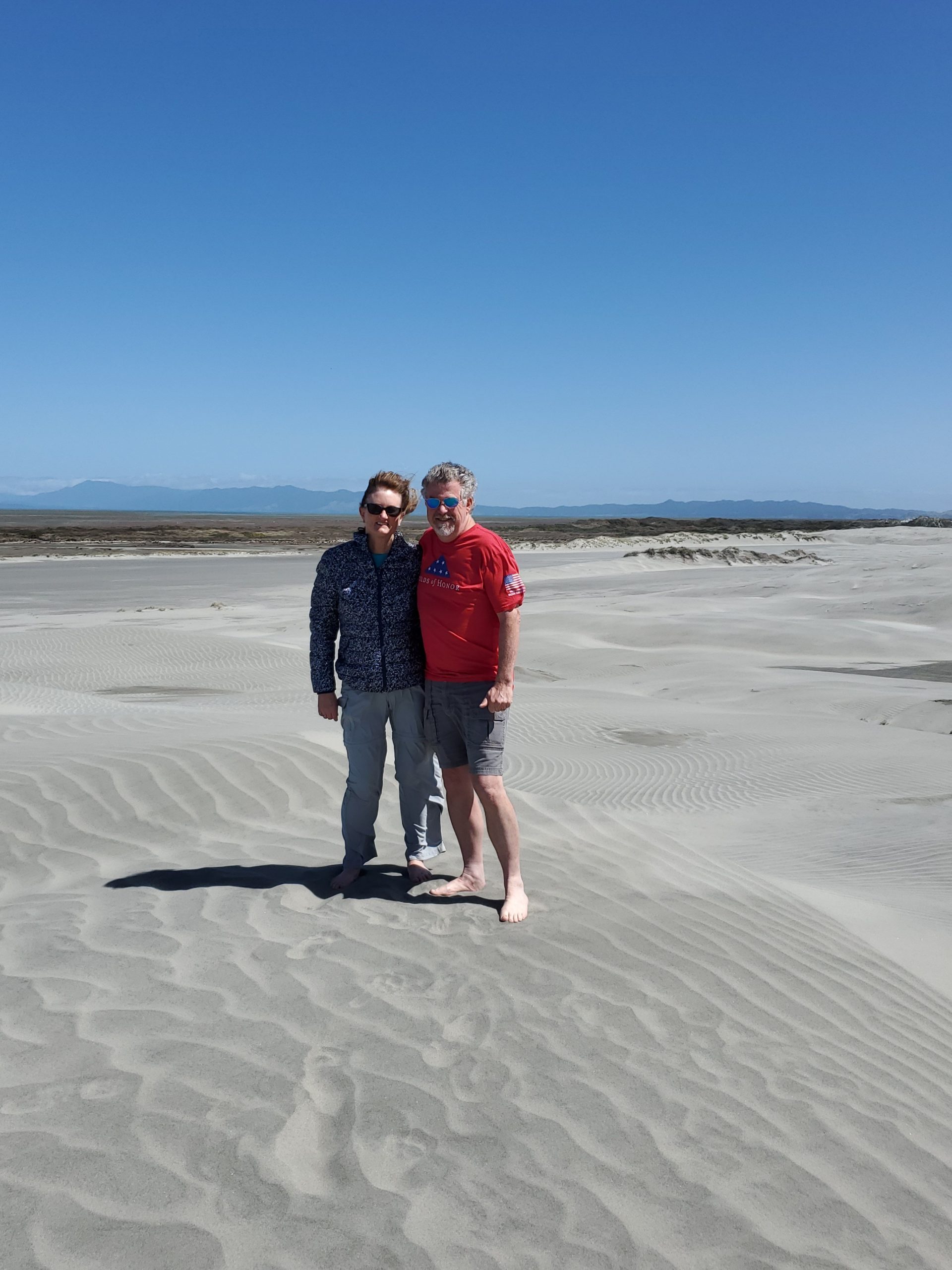
The bus makes a stop so you can stroll along the sand dunes. The wind was blowing so hard that sand was in our hair and ears for the next two days! Your footsteps would disappear in less than a minute as the wind filled them in.
The last stop on the tour was Cape Farewell. This is the most northern spot on the South Island. The spot reminded us a lot of Cabo da Roca in Portugal.
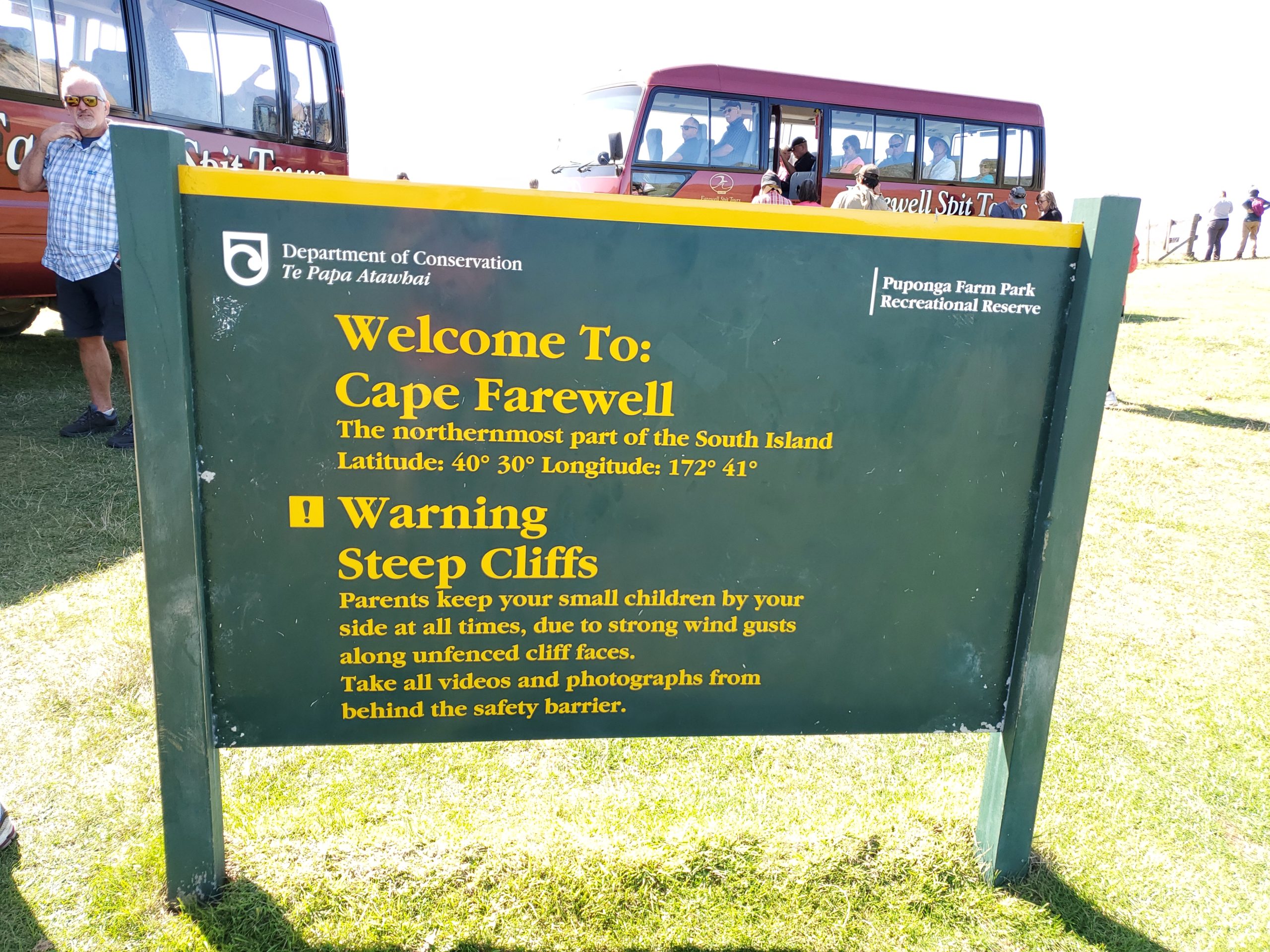
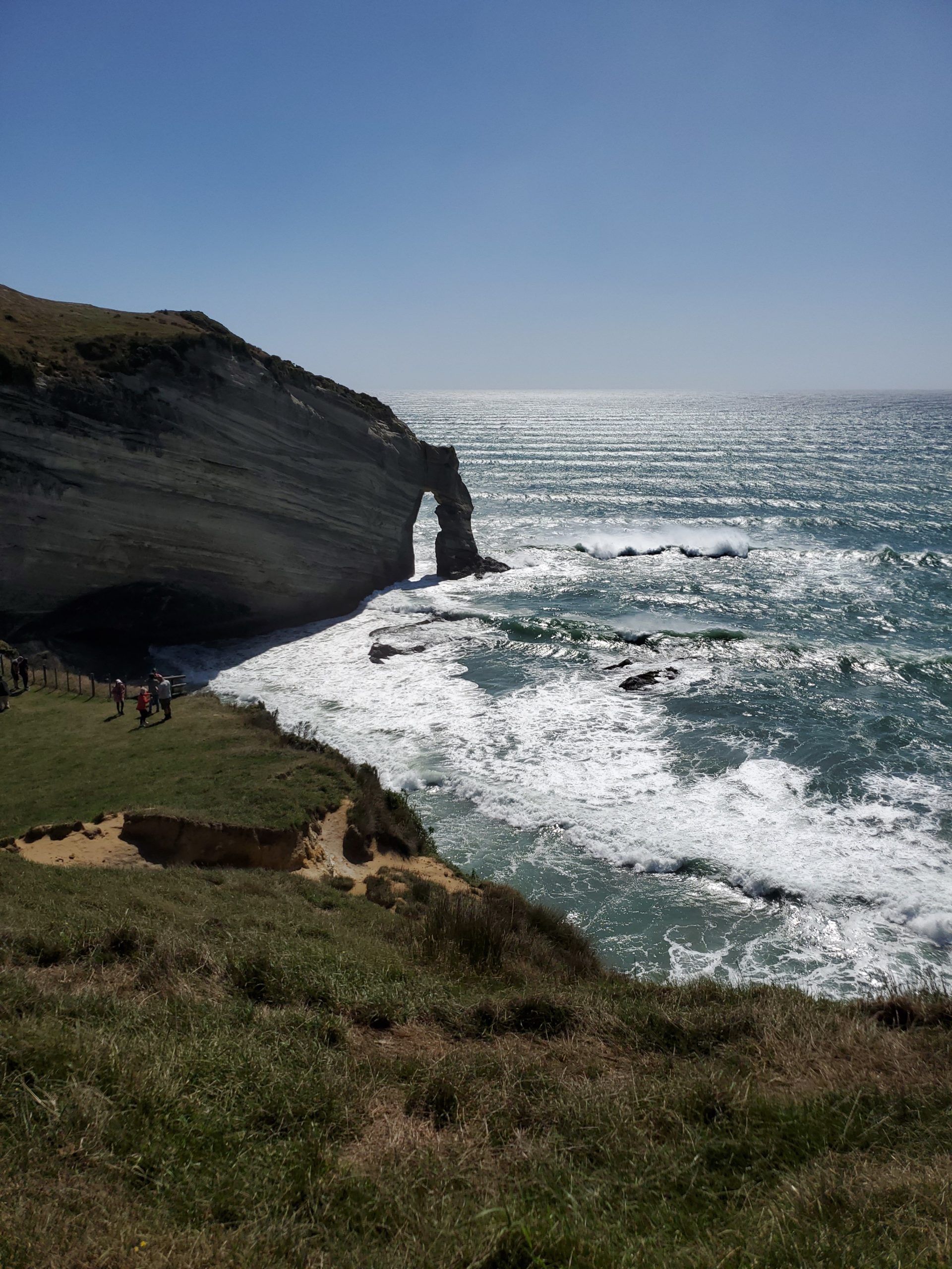
Cape Farewell was named by Captain Cook, as it was the last spot of land he could see as he departed New Zealand for Australia. Here is a short video of the surf rolling in.
This is definitely a must do. The entire tour lasted 6.5 hours, and they only provide tea/coffee and a couple of cookies. Grab a sandwich from the little store in Collingwood before you depart.
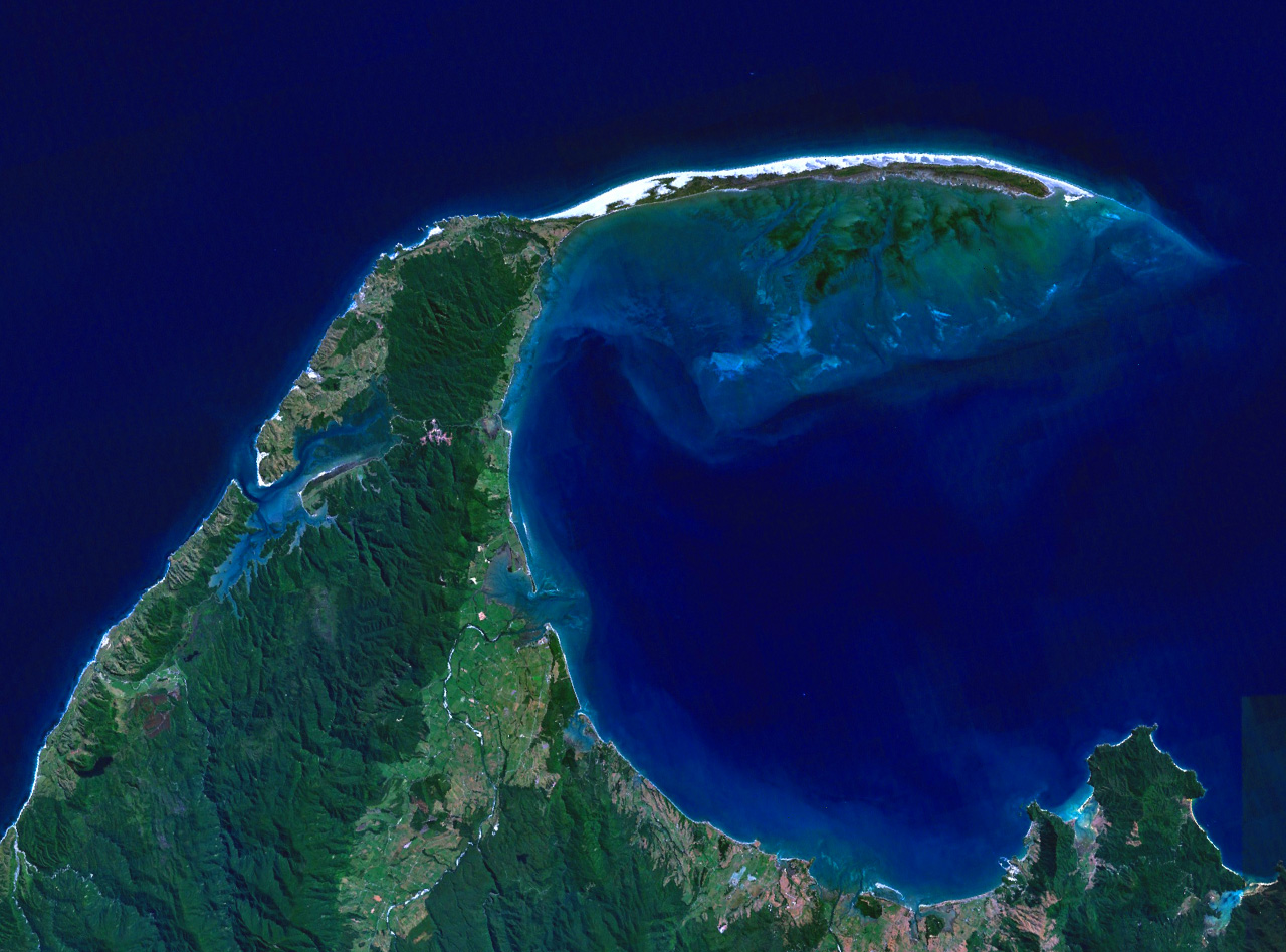
Here is a cool satellite photo of Farewell Spit from Wikipedia.
Next up, Punakaiki Pancake Rocks.
That does remind me of Portugal’s western coast. What is the white on the map photo going out to the spit? Snow capped mountains?
Hey Mark! If you mean the satellite photo, that’s surf and sand. The photo was likely manipulated to bring out more color. Hope you are doing well!