Fair warning, my Captain Cook “geek mode” applies to this post. I have an affinity for historical maritime figures, and none come bigger than Cook!
On our last morning, before our flight back to Cairns, I got up at 0640 as I wanted to hike up to the spot Captain Cook climbed in August 1770, known as “Cook’s Look”. The staff suggest hiking this early as it can get very hot later in the morning. I had no choice, as our flight off the island departed shortly after noon.
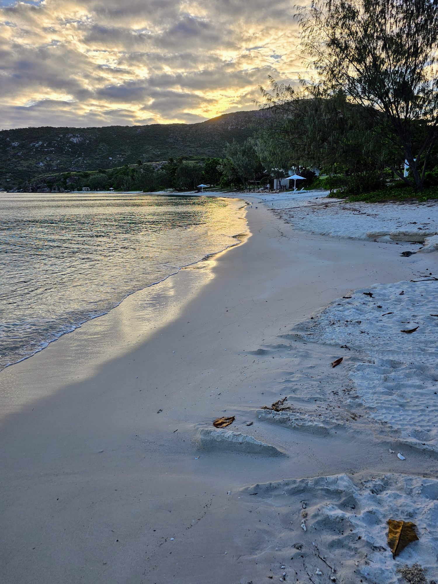
I had arranged for a zodiac boat to take me from the resorts beach over to Watson’s Bay to the start of the trail. Here is a shot in front of the beach as I waited for the Zodiac to get ready.
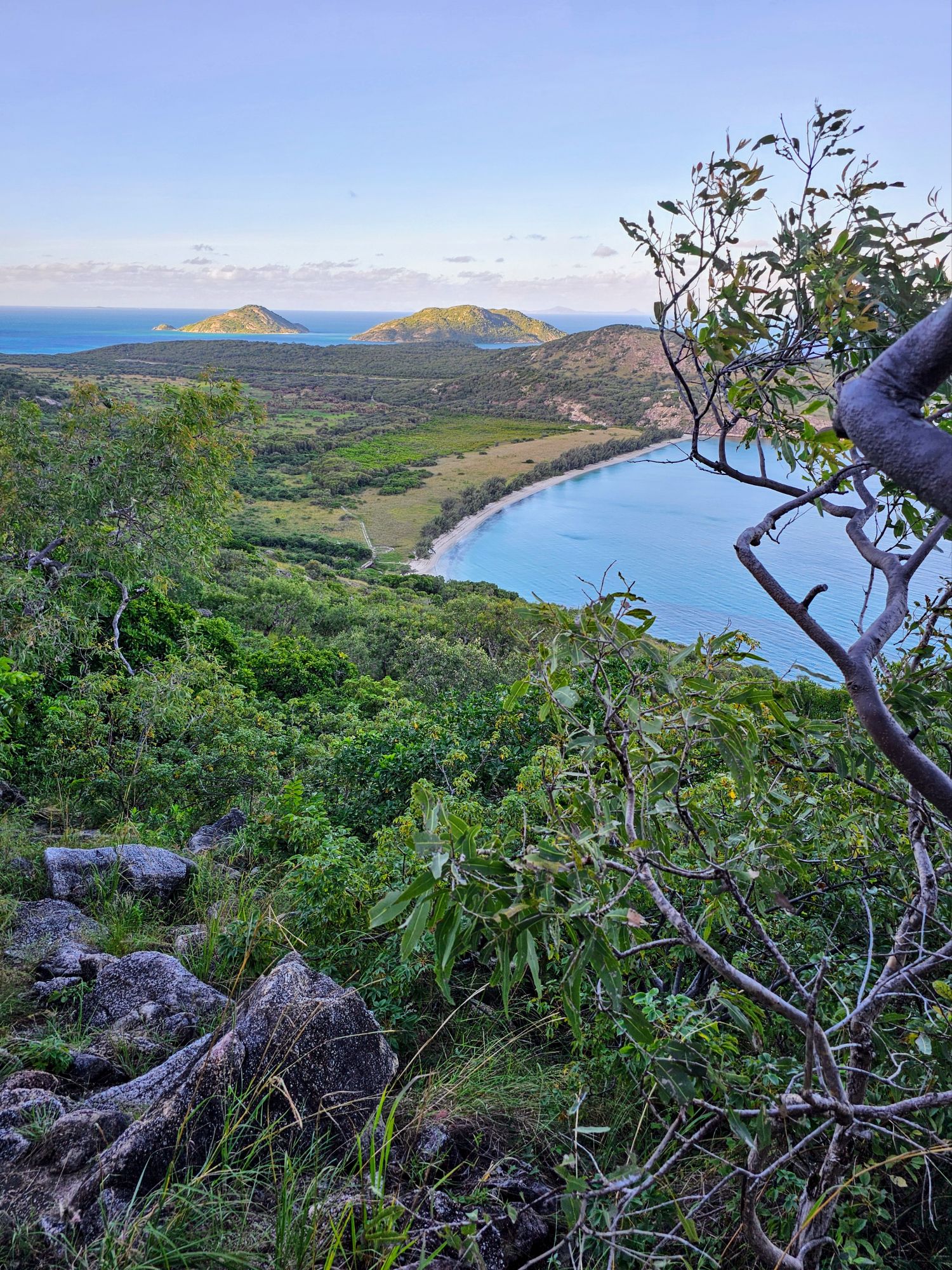
Now, bear in mind, every thing I read about this trail said it was “hard” to “very difficult”. I will admit, the first part was hard just to find! The trail is incredibly overgrown with grass, so I had to double back at first as I couldn’t imagine where I was initially hiking was correct. I eventually made my way onto the main path. After about 20 minutes I stopped to take this photo. Watson’s Bay is in the foreground, with Lizard’s sister islands “South Island” on the left and “Palfrey Island” on the right.
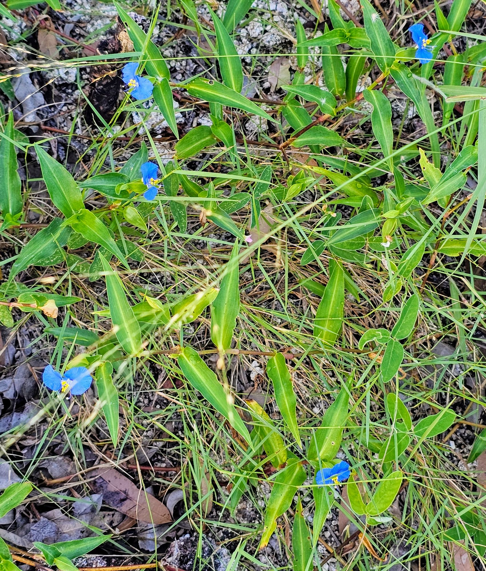
These pretty little blue flowers were everywhere along the trail, along with an assortment of small lizards. I didn’t see any monitor lizards. Either Captain Cook saw them on the beach, or he really named the island for the little lizards?
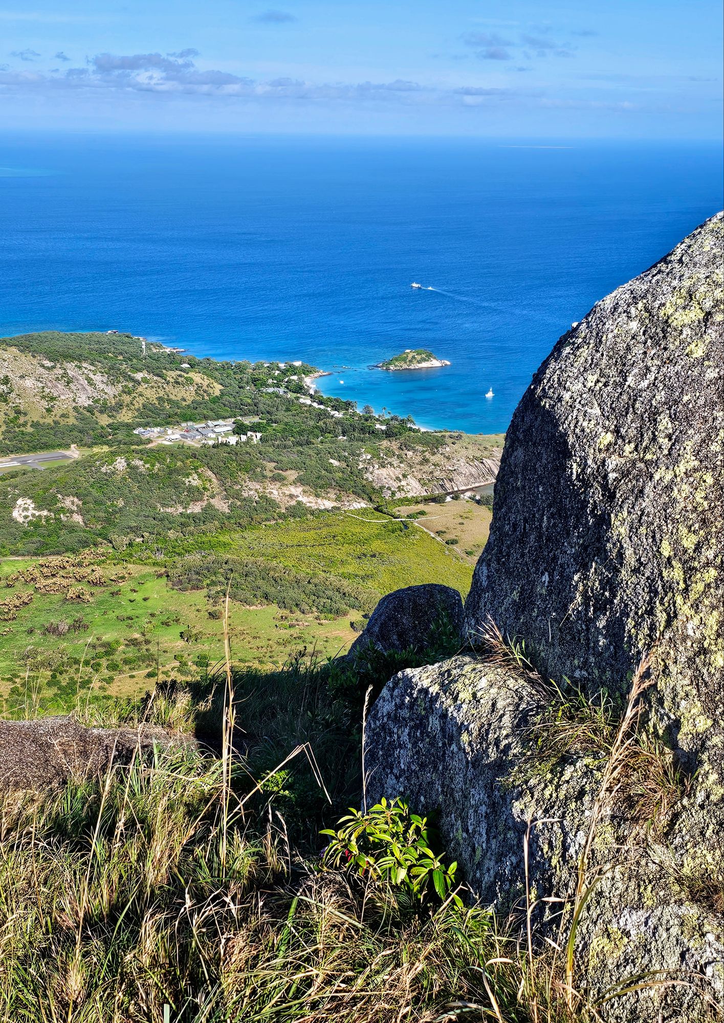
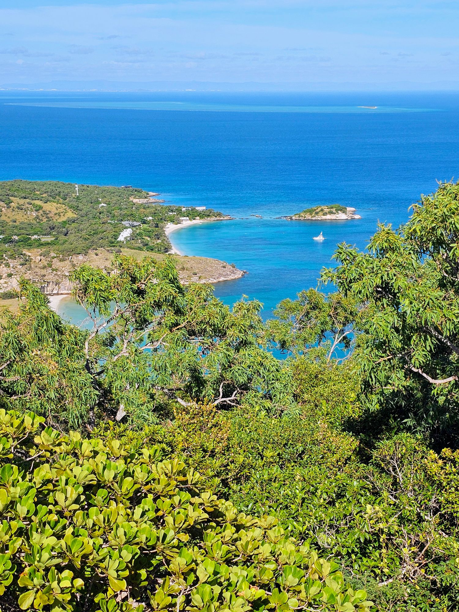
It took me about 75 minutes to reach the top, which was far better than I expected based on everything I had read/heard. This shot is looking towards the west, with the Lizard Island resort below. Despite what I was told you will not get a 360 degree view at the top, as the summit is quite large with a lot of vegetation, so you have to walk around a bit to see in each direction.
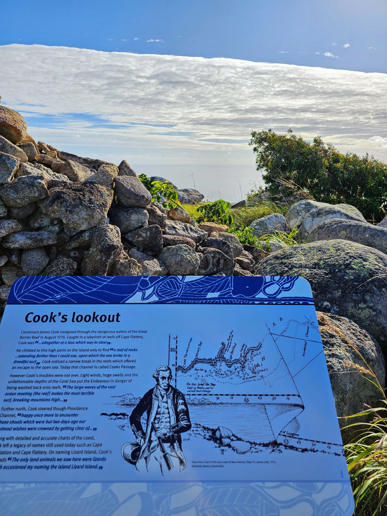
Here is the sign letting you know you made it to the top with a view towards the east. Cook saw massive surf breaking in this direction, but the way the sun was hitting the ocean I didn’t see any waves. As you can see in the photo you can barely see the ocean in that direction and it nearly blends in with the horizon.
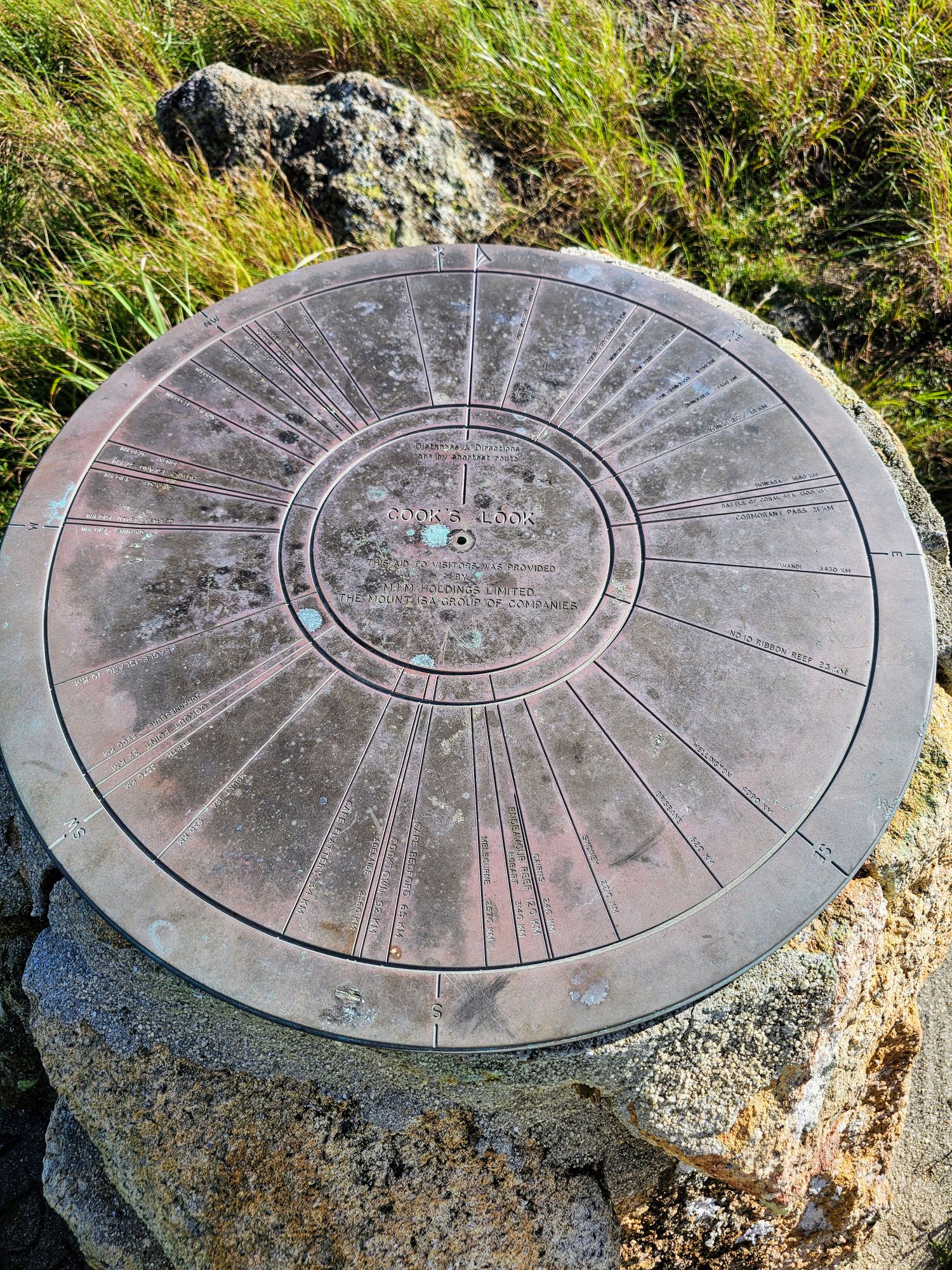
There is a Compass Rose on the summit with distances to various locations listed on the rose. There is supposed to be a log book to record your visit, but I couldn’t find it.
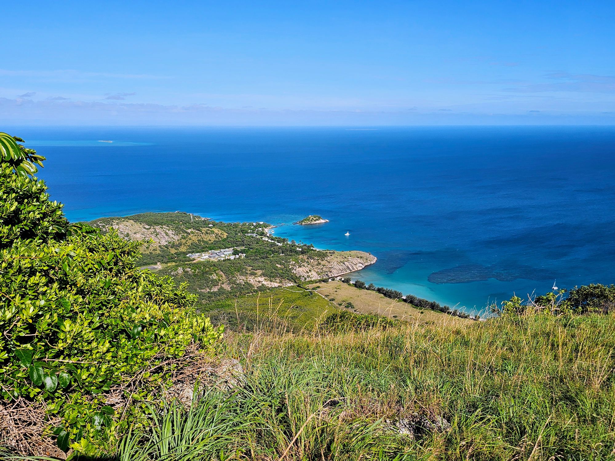
Another view looking west, with Eagle Island, another island Cook visited, in the distant upper left. The viewpoint from here allowed Cook to see a passage between Lizard Island and Eagle Island to the northwest that allowed him to reach the open ocean. He must have had much better vision than me to have seen this, as I could only see the reefs nearby.
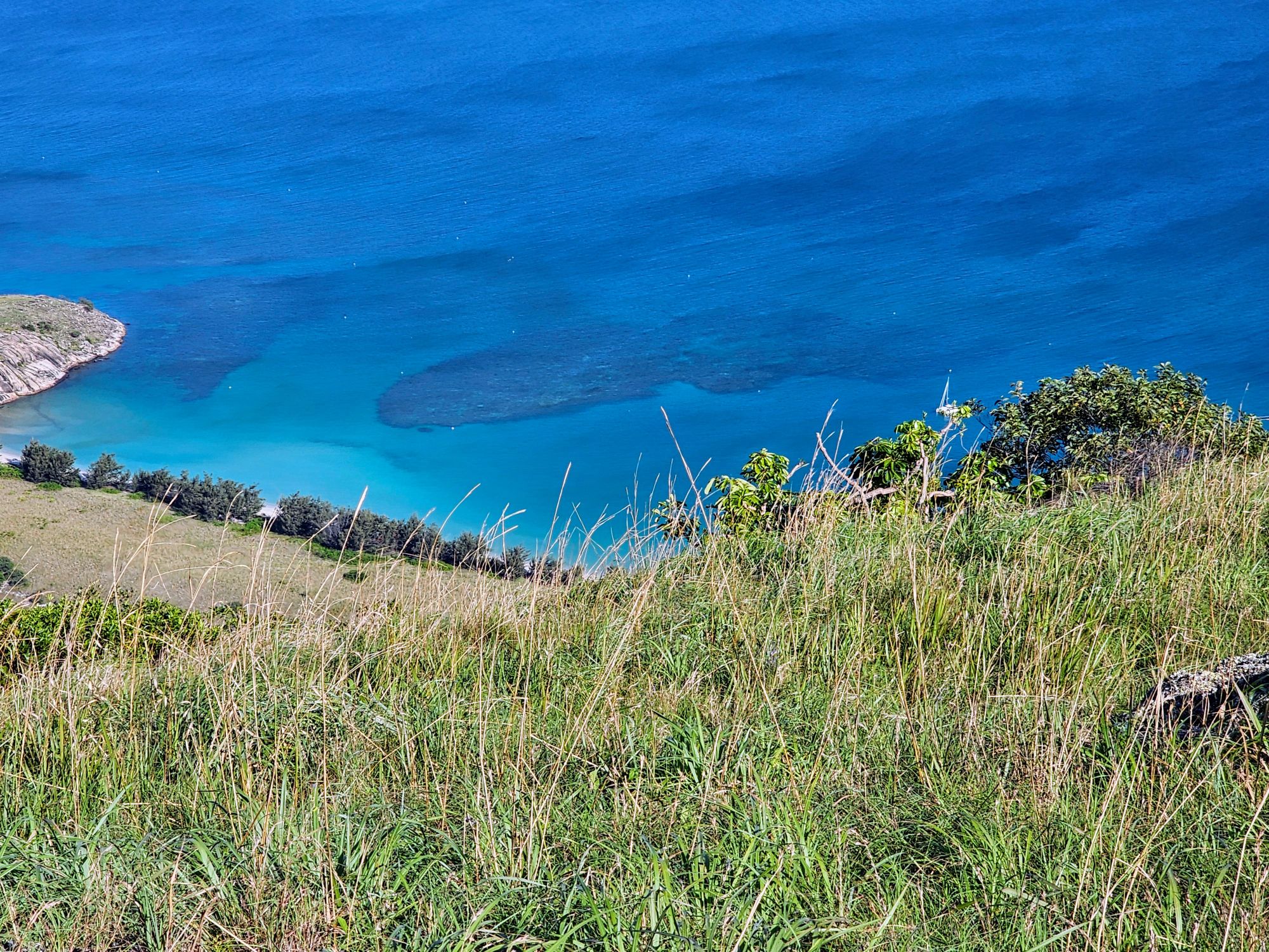
This is the view from the summit looking down on Watson’s Bay, with the reef clearly visible.
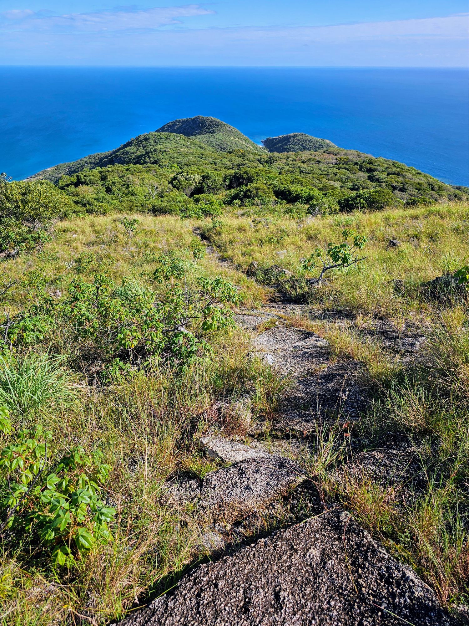
As I descended from the summit I took this shot towards the north. The trail before me looks quite easy, as at that point it wasn’t steep at all. The trail heads this direction for about a half mile before turning to the left and heading steeply down.
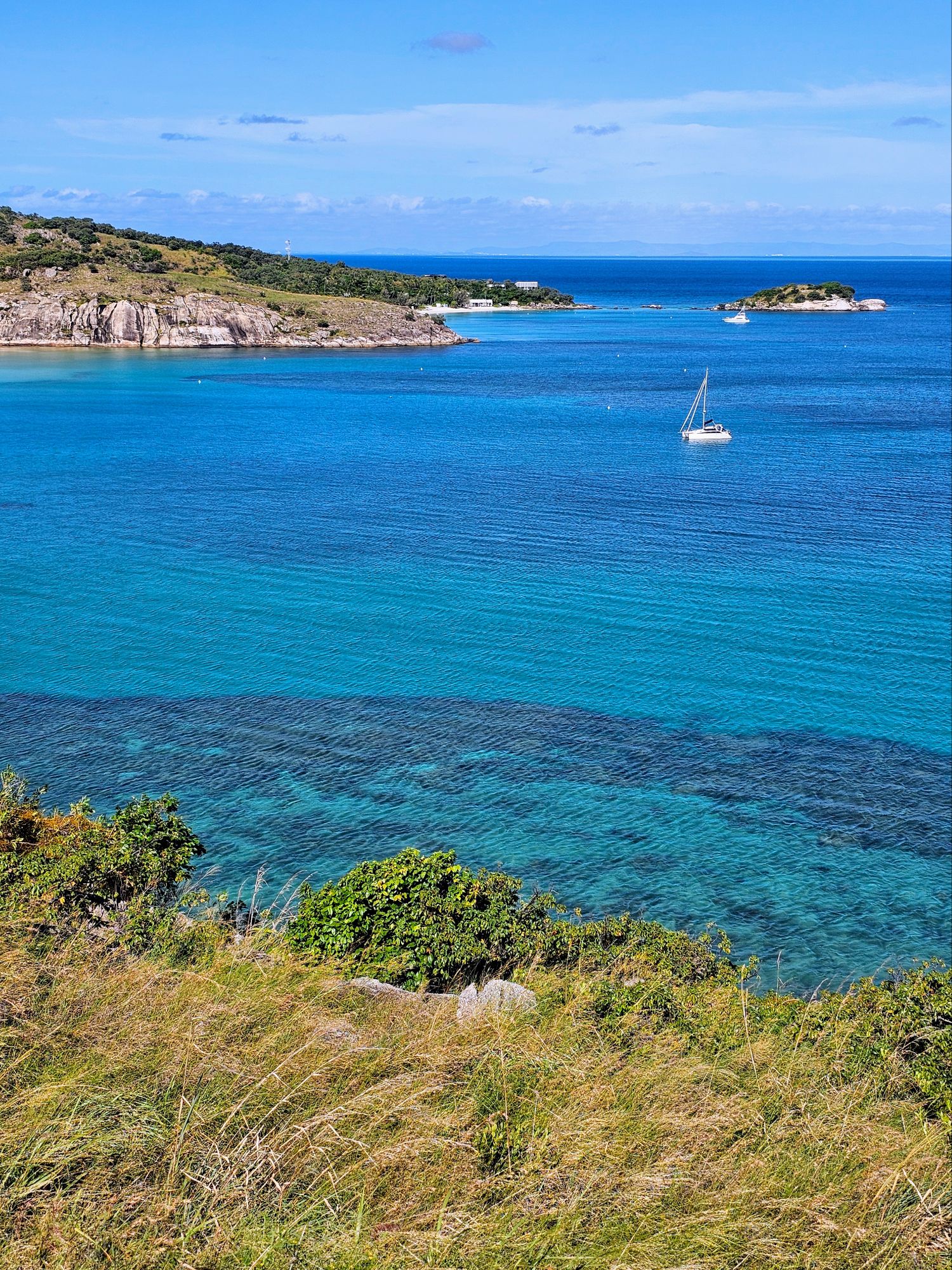
A shot of Lizard Island Resort from about halfway down the trail, with tiny Eagle Island in the distance to the right.
The below photo was taken about 15 minutes from the end of the trail. The resort gave me a radio to call them when I was at this point, and the zodiac picked me up just as I got off the trail. Look at that water in Watson’s Bay!
My take on the trail is the first 0.3 miles are a bitch, but after that it’s fairly easy, with a few steep inclines and some steps. If you hike a lot and don’t mind overgrown trails, you’ll be fine. I did the entire thing in 2 hours 15 minutes, and I’m not in the best shape. Captain Cook “geek mode” off (for now)!
Sadly we had to leave the island, and our flight left on time at 1225. Here is a video of our departure from Lizard Island, over the gorgeous “Blue Lagoon”!
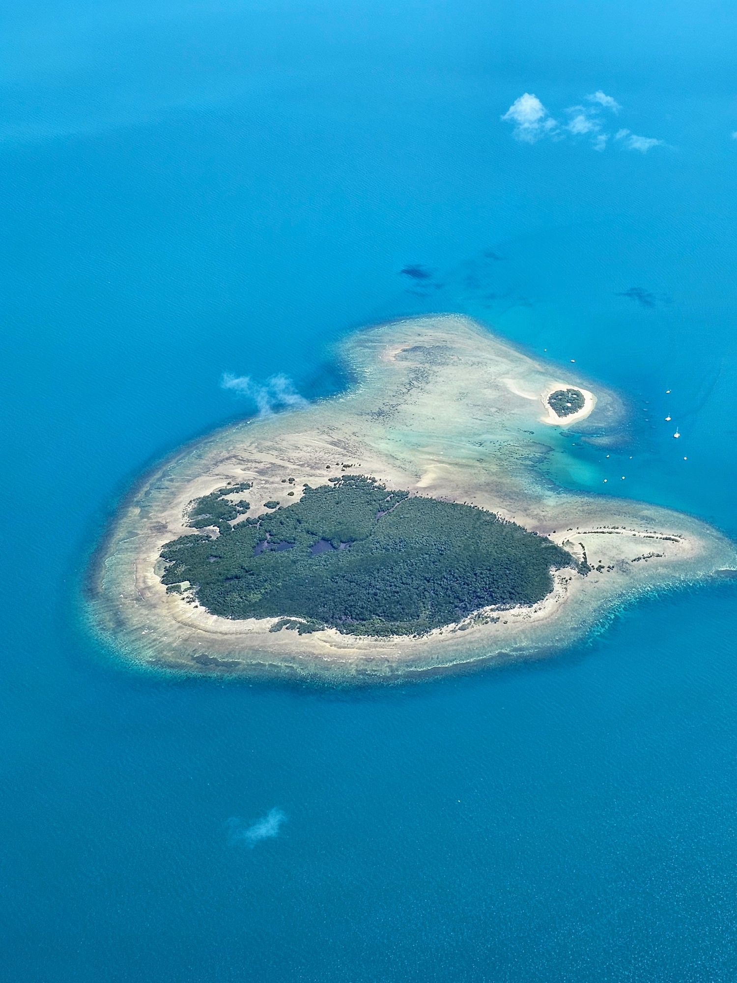
On the way back to Cairns we flew over numerous reefs. It was a perfect day for photos! Since the Australians are very literal in everything they name, this is “Two Islands Reef” (I’ll be honest, I think I see a lot of small islands outside of the two, but let’s not tell the Aussies).
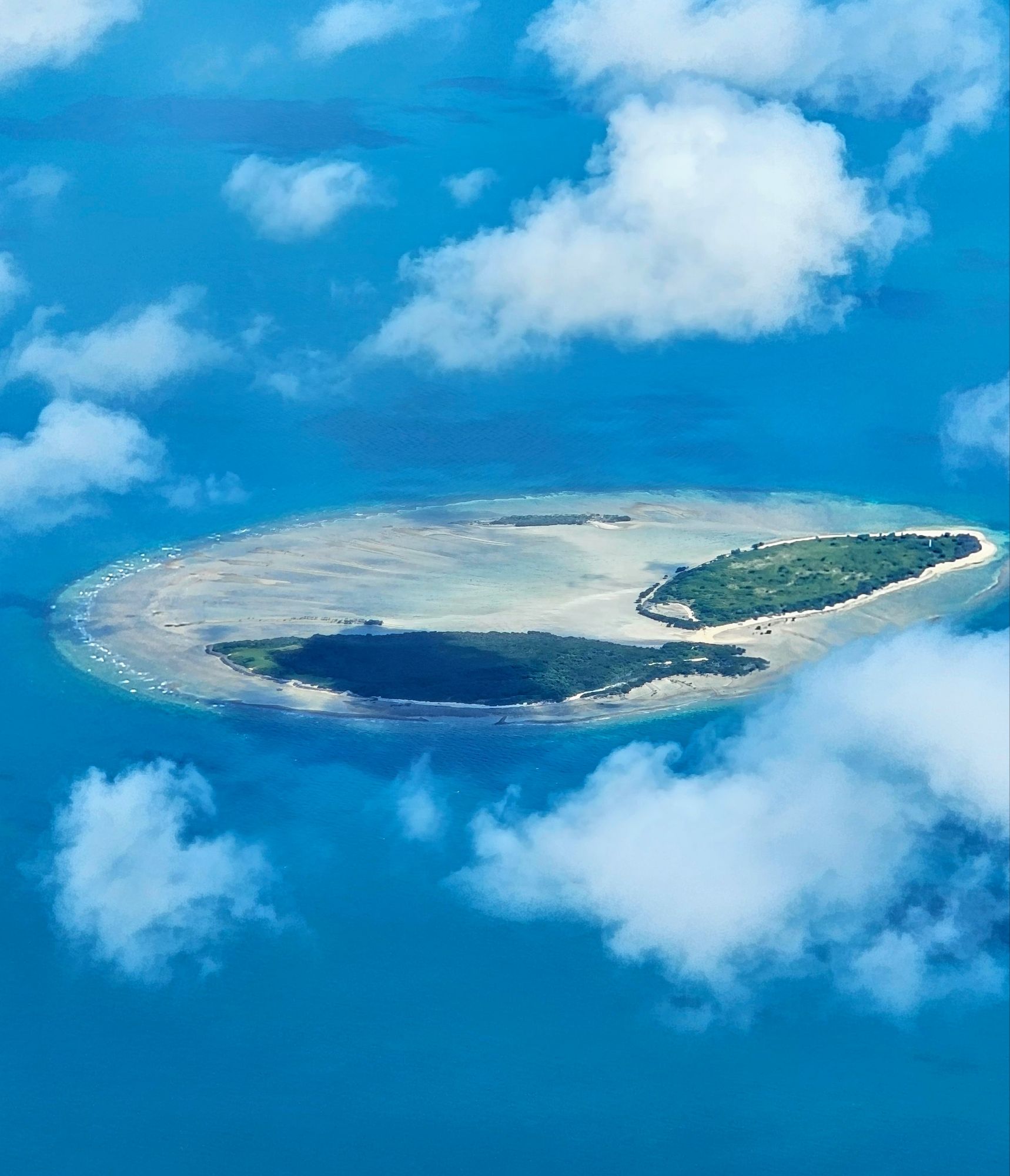
Just a little further south is “Three Islands Reef”. Many of others are just one island, so I guess they had to get more original.
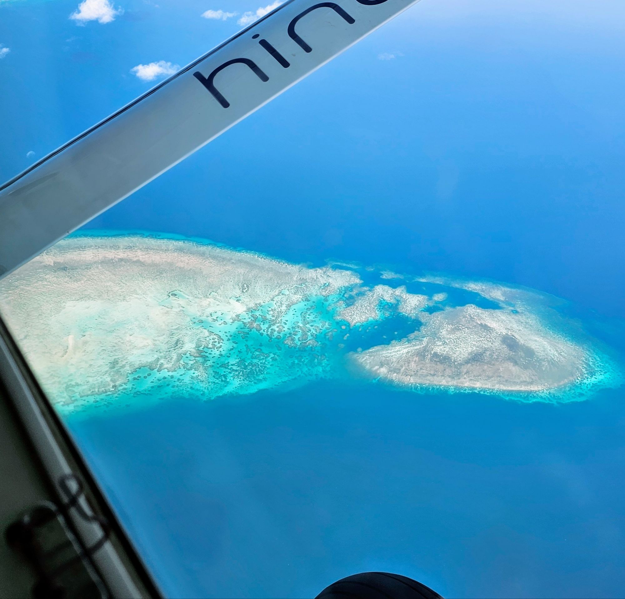
A little further south is “Endeavor Reef”, so named as Captain Cook’s ship ran aground on this reef on June 11, 1770. To re-float the ship they had to toss 6 cannons and some ballast into the ocean. Interestingly, some divers found the 6 cannons and ballast in 1969, verifying this was the site of the grounding. The Endeavor had to be repaired and pulled into what is now known as the Endeavor River (Cook left his mark everywhere) where the ship spent several weeks getting patched up. According to Cooks log, a large piece of coral was stuck in the hole of the vessel, and had it not been for that the ship would have surely sunk right there next to the reef.
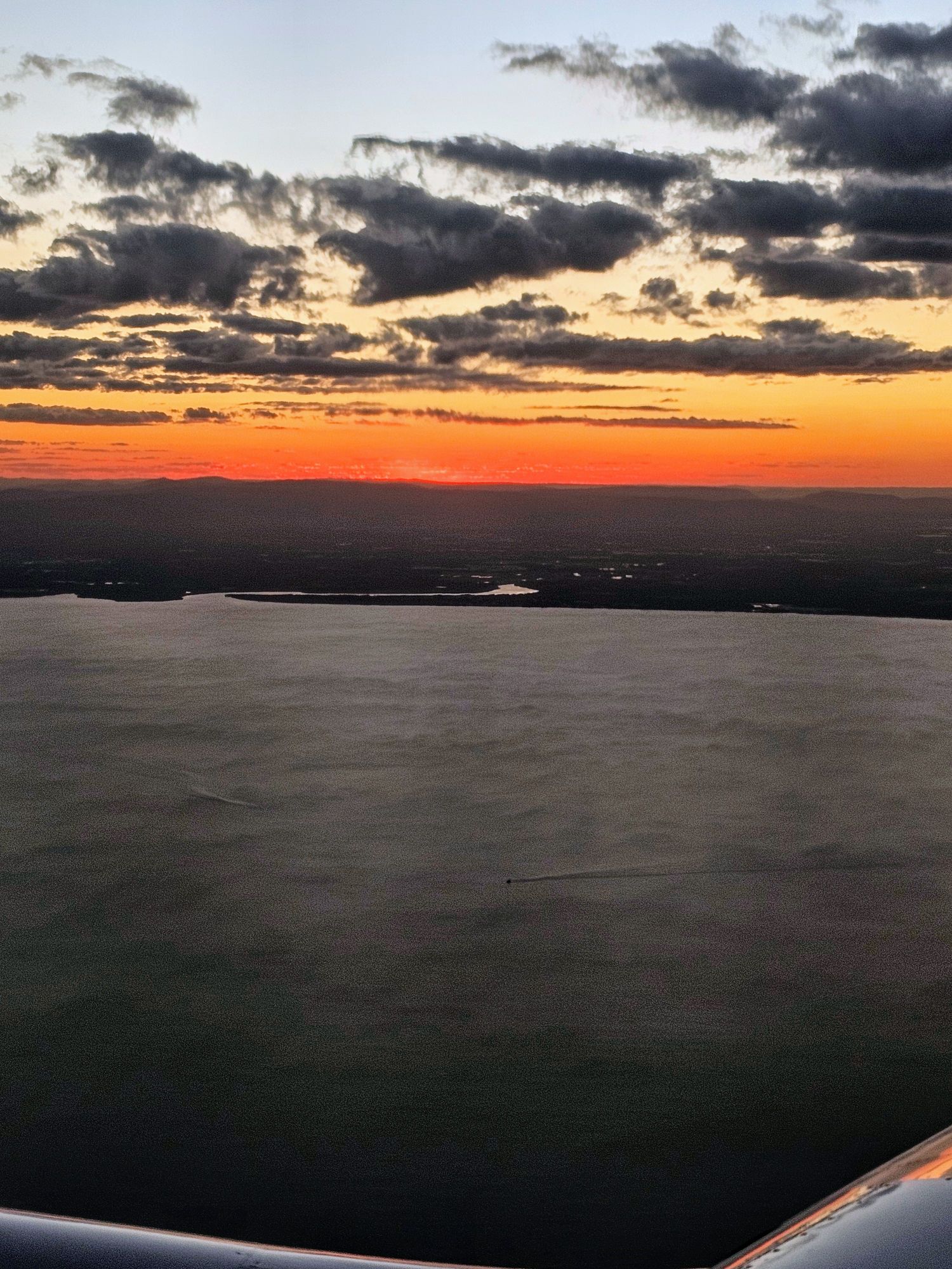
Our next flight from Cairns to Brisbane was uneventful, which is how I like my flights! The sun was setting just as we were pulling into Brisbane.
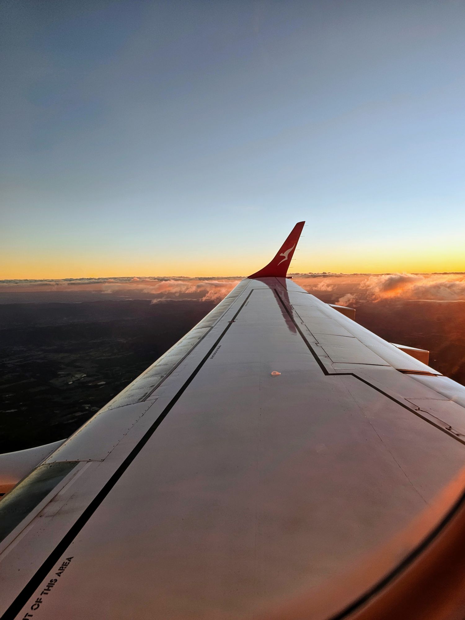
Yet another beautiful sunset!
Coming up next, we visit Lone Pine Koala Sanctuary and explore a bit of Brisbane, Australia’s 3rd largest city.