We took a 3 day side trip during our time in Colorado to visit Rocky Mountain National Park. This is our third trip here, and with the aspens changing it was by far the most beautiful. We thought early October would be the off-season in the park, but apparently not….the place was jam packed and the parking lots at nearly all of the trailheads were filled to capacity! We came mid week to avoid this….so much for that plan.
Now, as national parks go, this is not our favorite, that honor belongs to Yosemite, which is far and away the best national park ever created, and nothing else comes close. Second place belongs to Glacier National Park….truly a special place that must be seen. With that being said, Rocky Mountain National Park is still quite excellent!
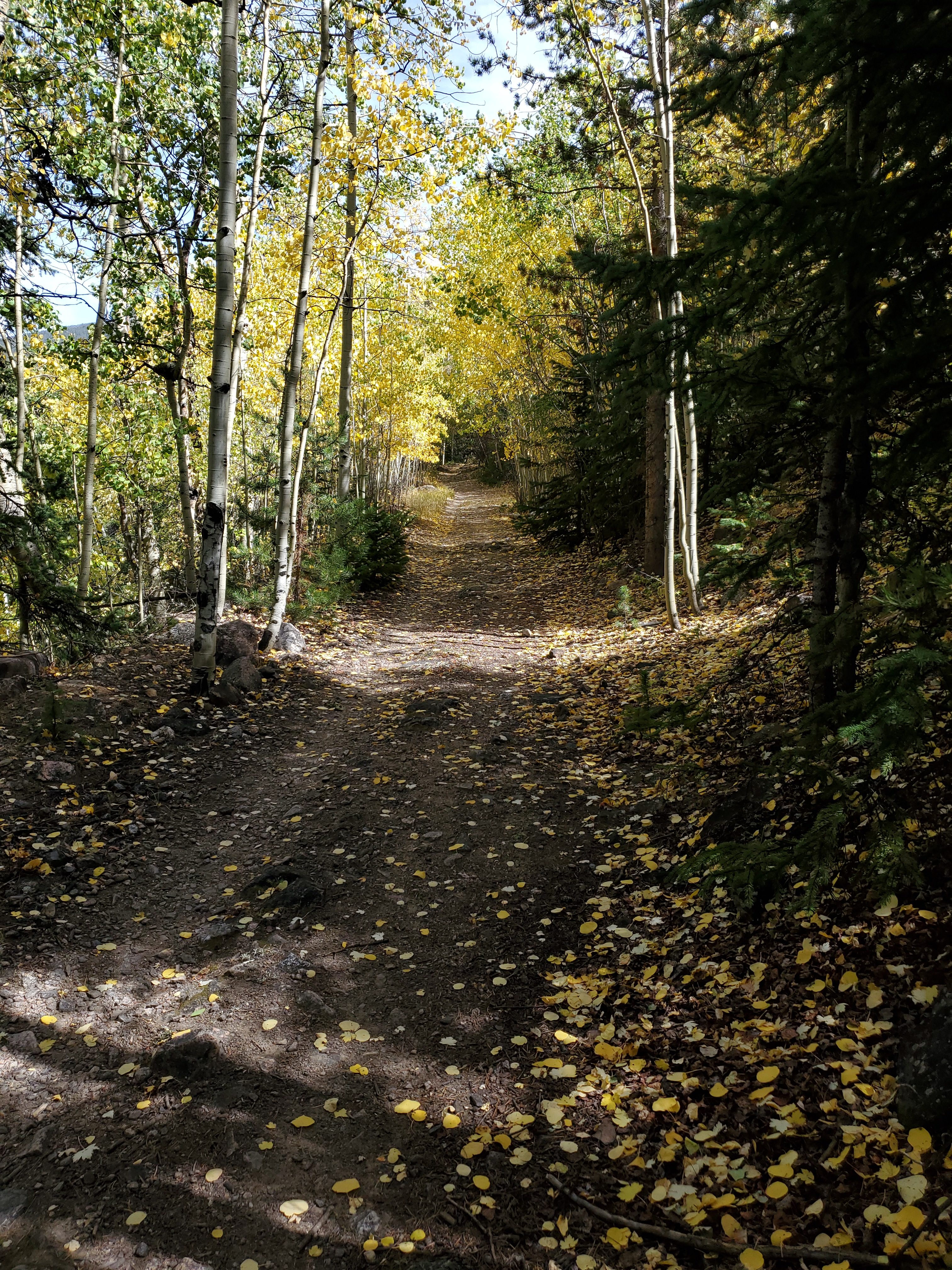
We entered the park from the western side, and we had already planned a hike up the Green Mountain Trail to Big Meadow. This was a heavily forested trail with a few “small” meadows on the way up.
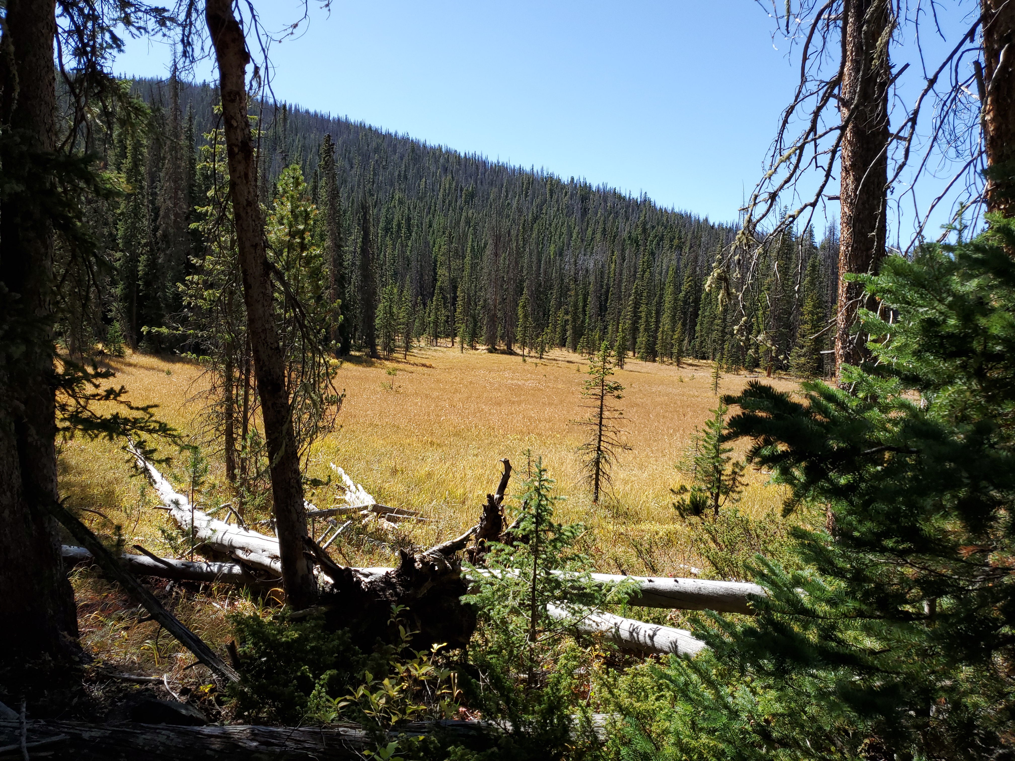
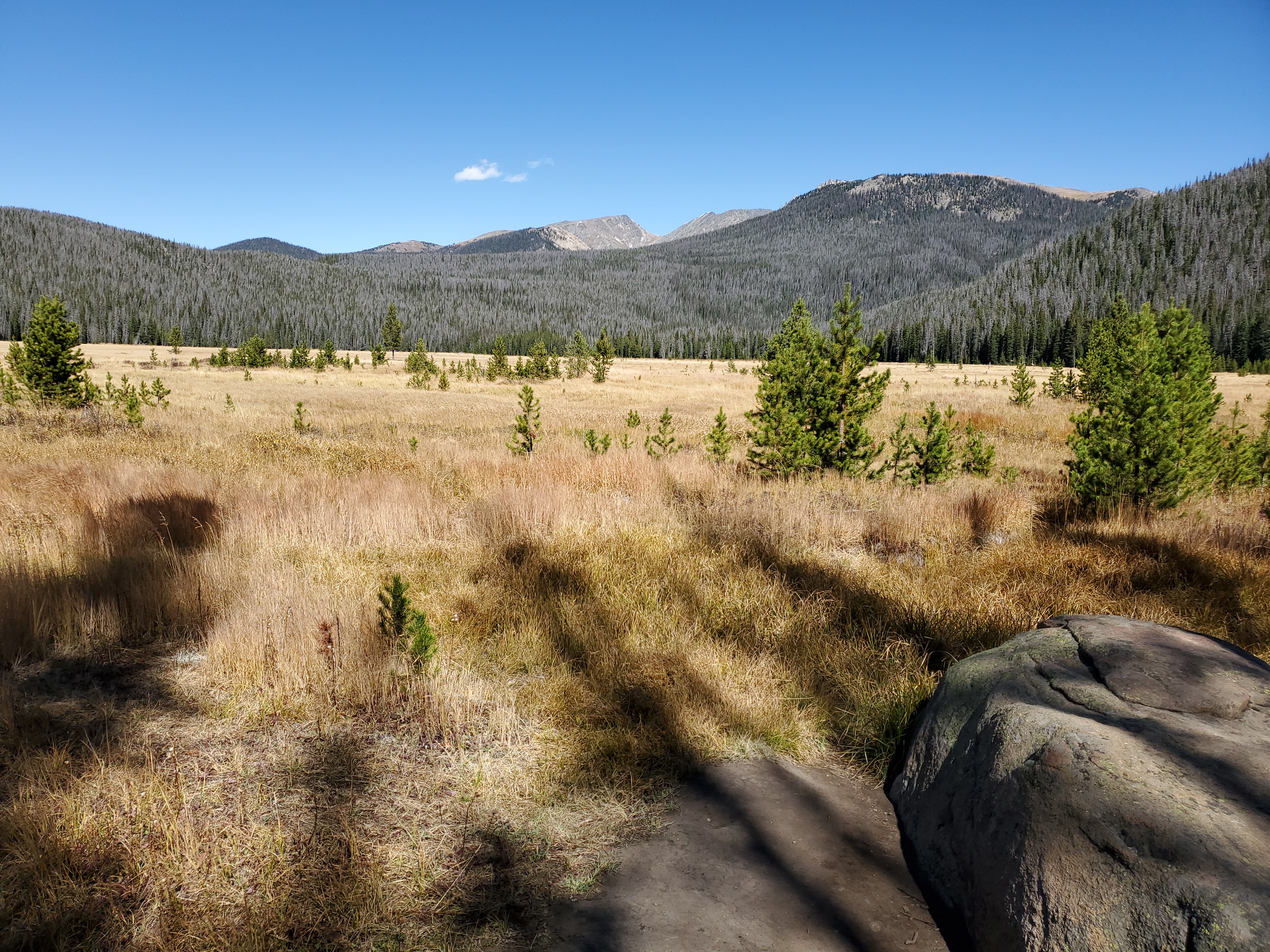
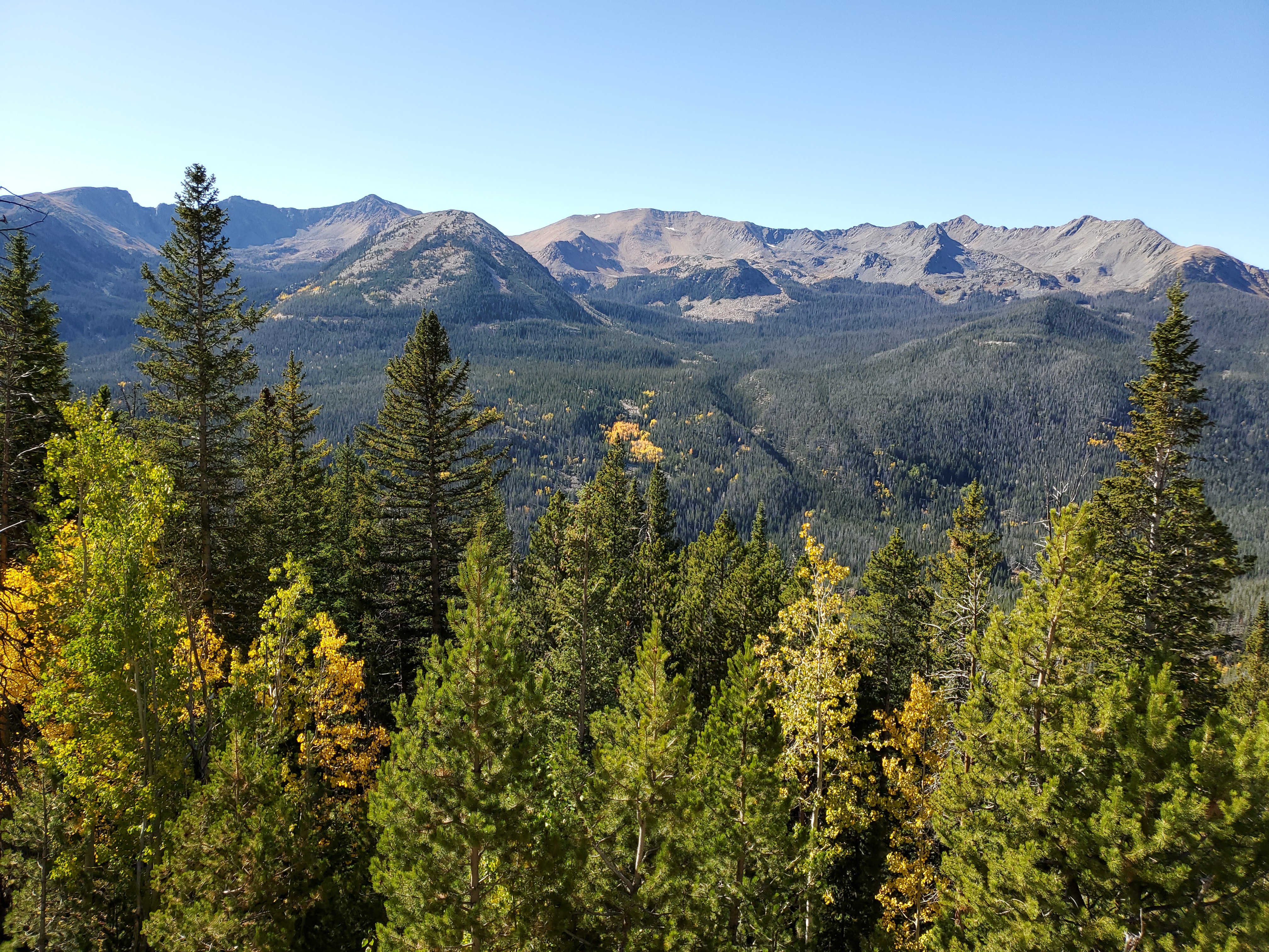
These small meadows seemed large to me, but the HUGE meadow we saw at the end of the trail was quite impressive. The picture doesn’t do it justice!
I brought my binoculars hoping to see some wildlife in the meadow, but nada. We saw a game trail leading into the meadow, so we decided to walk along it, and found our first evidence of wildlife…..this dead elk. 🙁
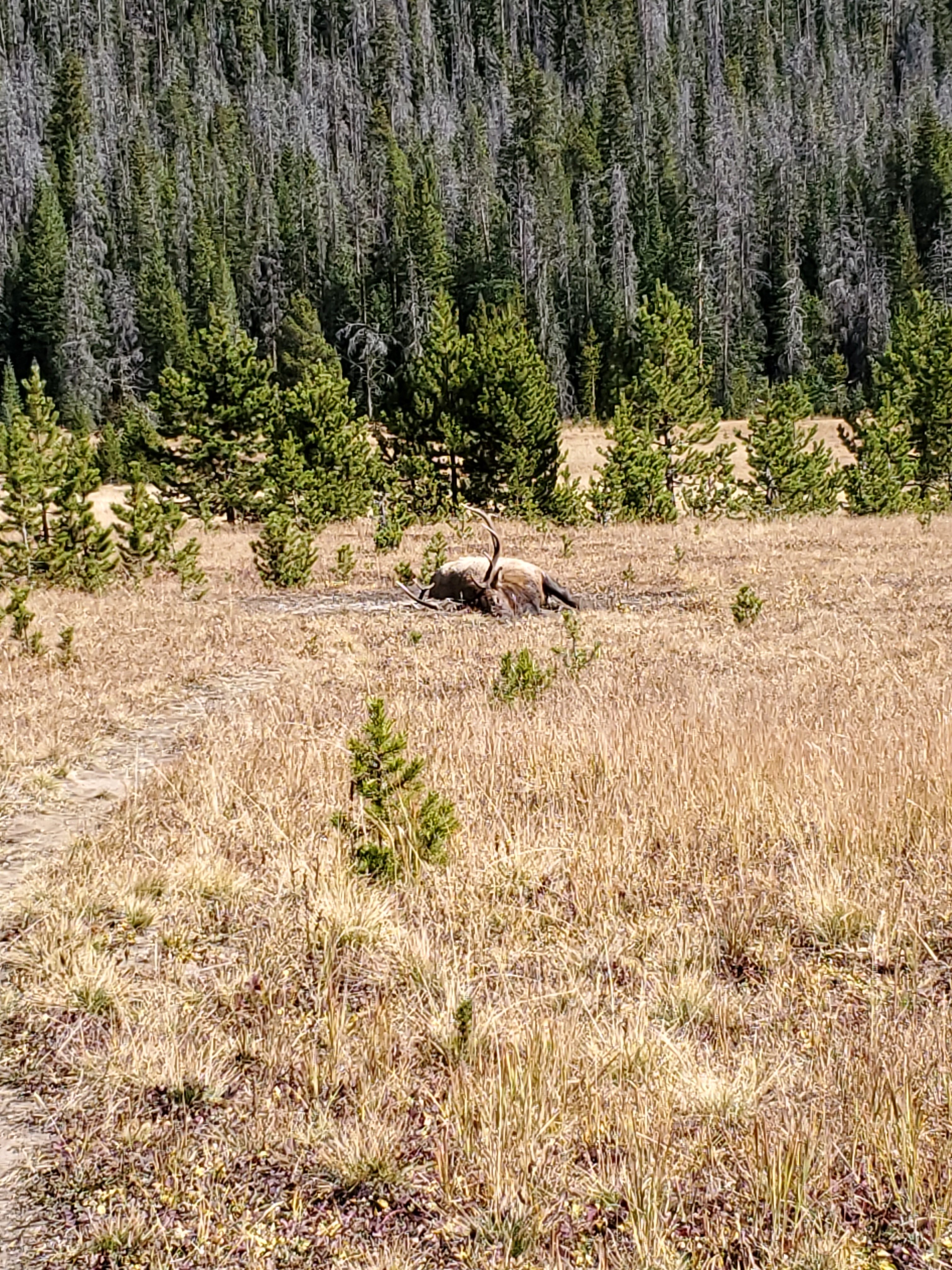
I didn’t get too close. We ended up reporting it to a Park Ranger later that day, and he seemed very interested in checking it out (he even pulled out a notebook and took notes!). He asked us if we might know the cause of death, but my National Park CSI badge is no longer valid, so I didn’t offer my insight.
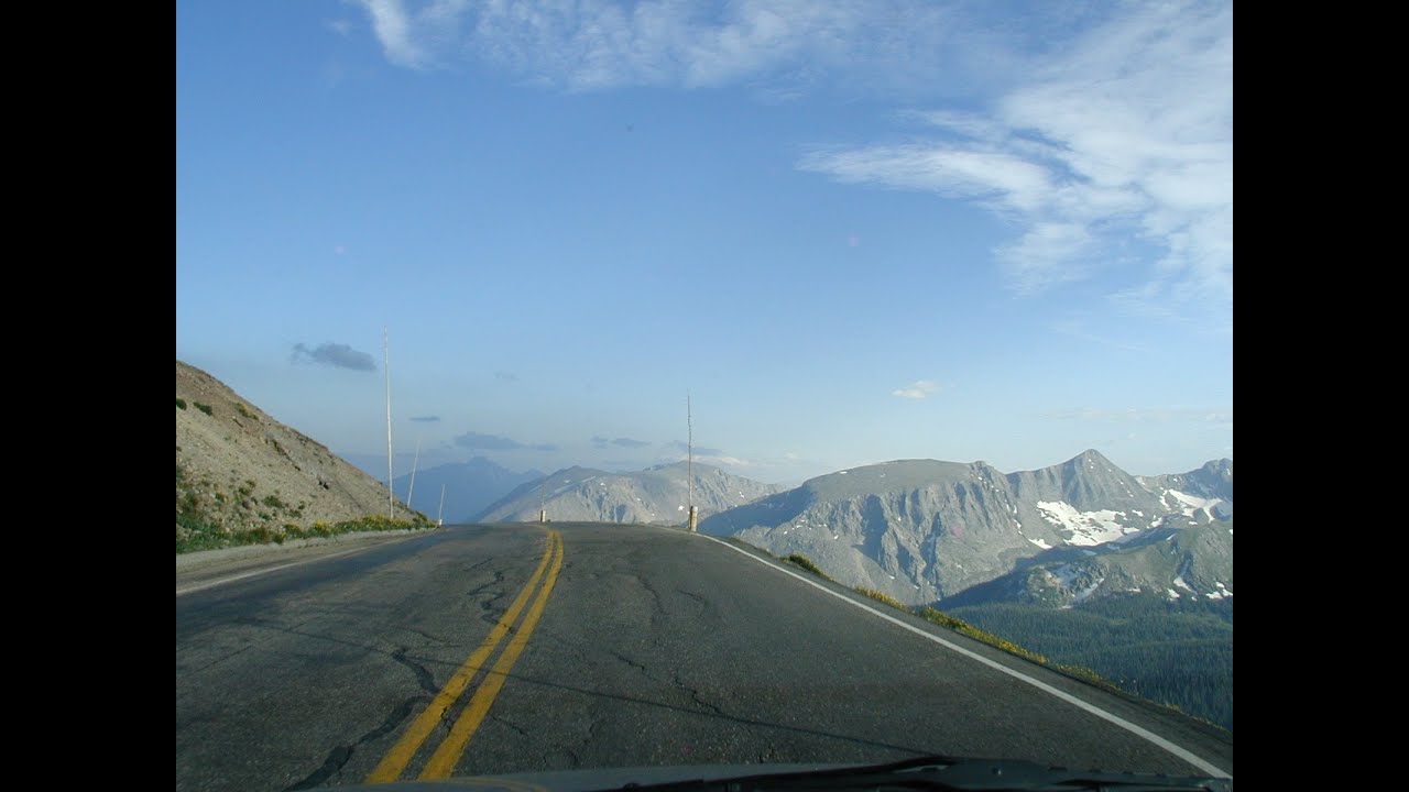
The west side of the park is not the most exciting, as it doesn’t have the elevation of the rest of the park, sitting at around 8800 feet. The road heading up to the higher portions of the park is a fun one though, with several hairpin turns! As you near the top there is a pull out with incredible views of the Gore Range towards the west.
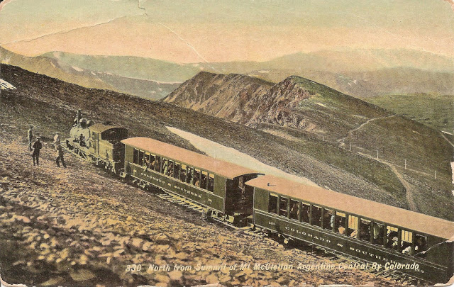
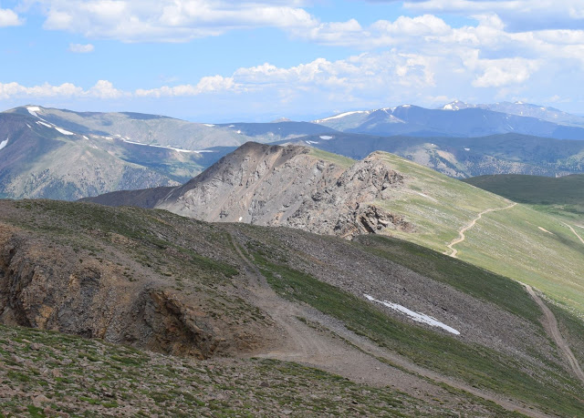
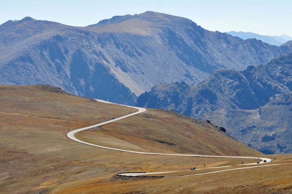
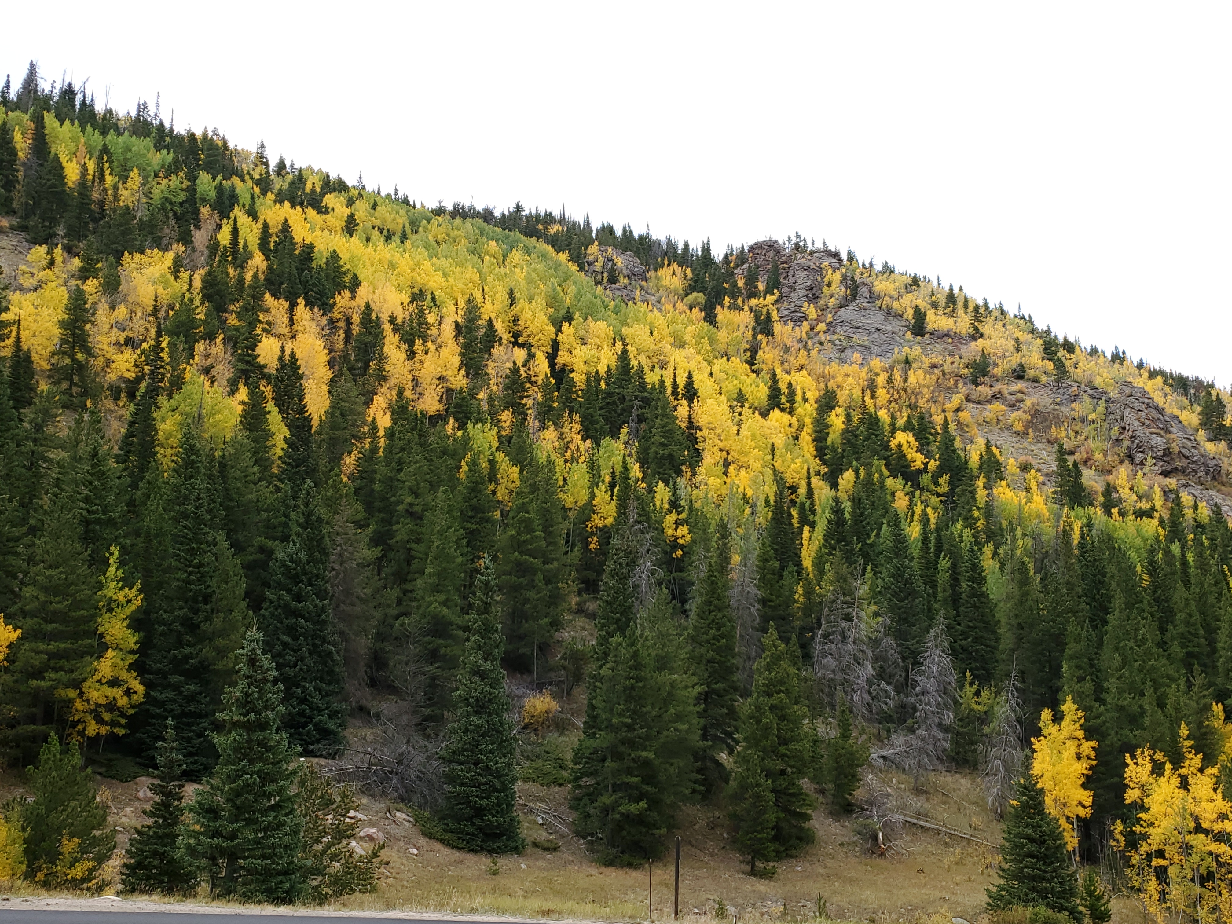
From there you cross the Continental Divide (at 10,759 feet), and then continue climbing! The road that leads to Estes Park on the east side of the park (Trail Ridge Road) is really something else. You truly feel like you are on top of the world! It’s hard to believe this road was originally built in the 1930’s. Here are some stock photos, as I was too busy driving to take my own pictures.
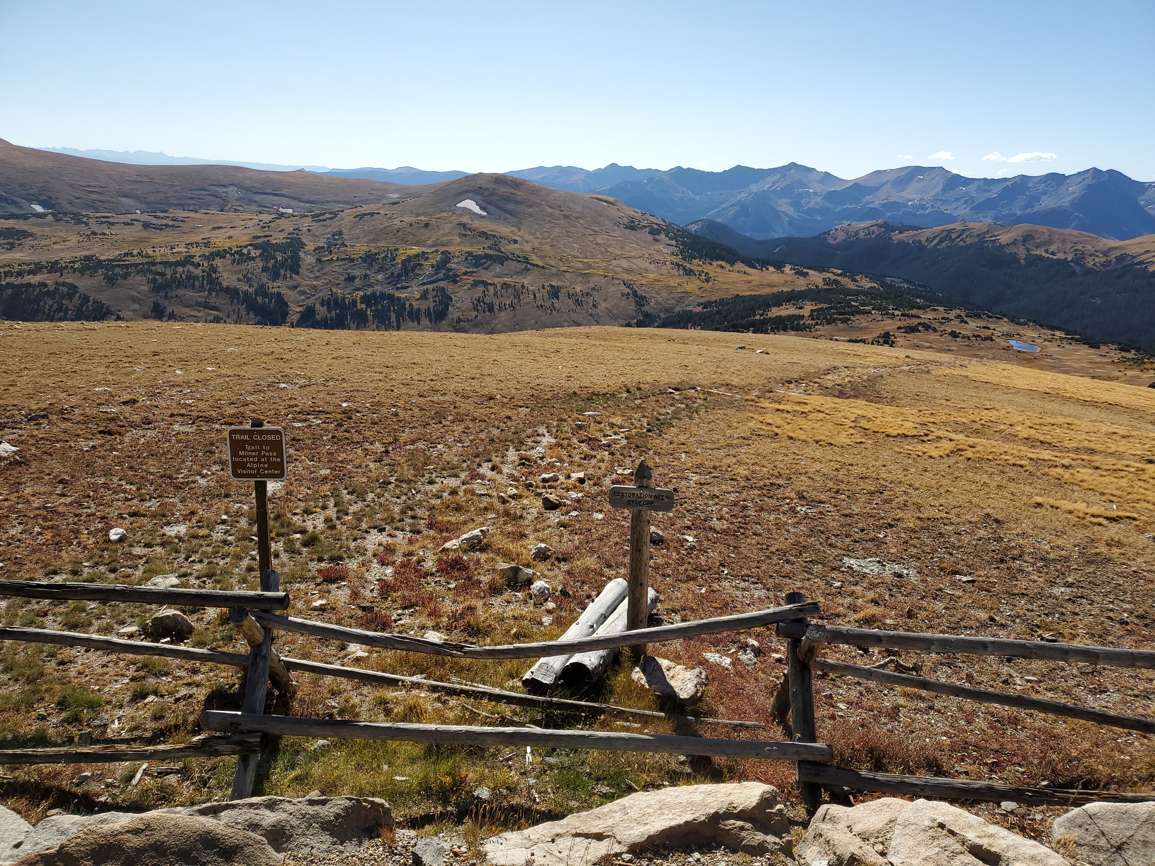
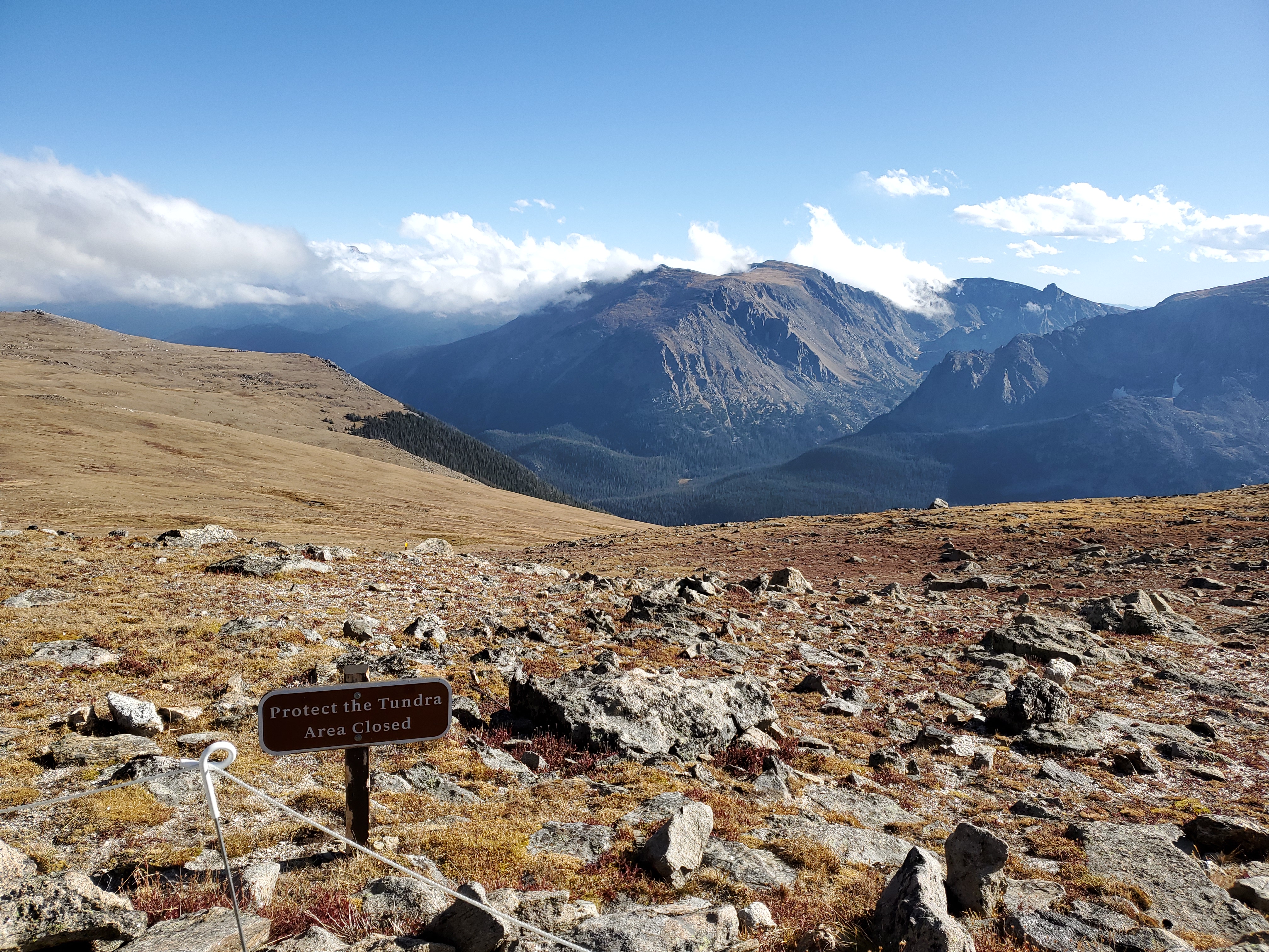
There are various pull outs (some with short hikes) along the way. I remember this one from a past visit as we hiked out to a lookout over the adjacent valley, and there were a ton of people who ignored the “stay on the trail” signs. I guess they finally had to shut it down. The high altitude tundra can be destroyed so easily, and takes years to recuperate from idiots. It’s truly sad that trails need to be closed due to their actions.
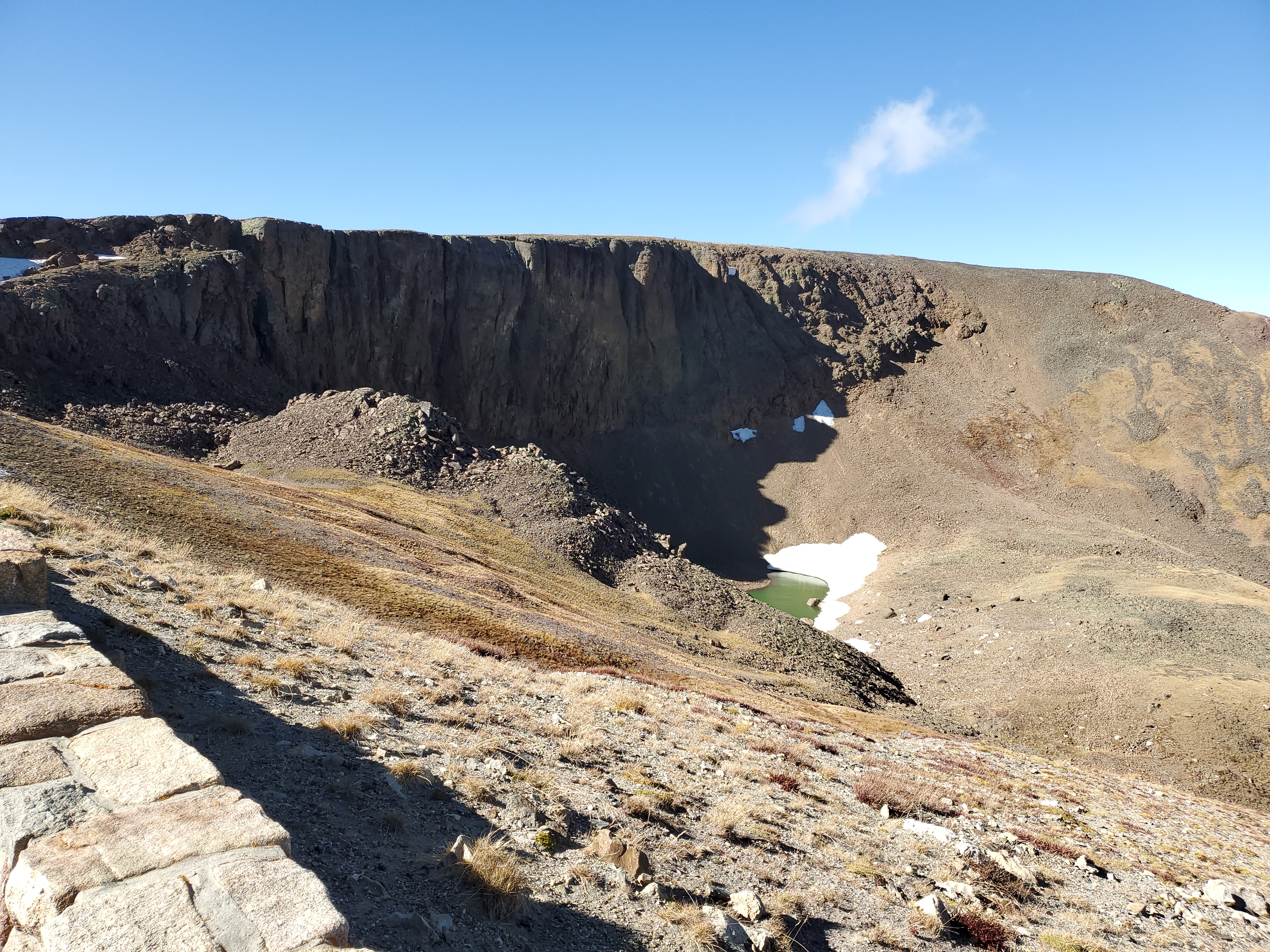
The next pull out turned out to be pretty interesting due to about a dozen elk in a meadow far below….all of them alive no less! Make sure you bring binoculars. Unfortunately they were too far away to get a photo. The pull out spot is pretty stunning regardless, being well above the tree line.
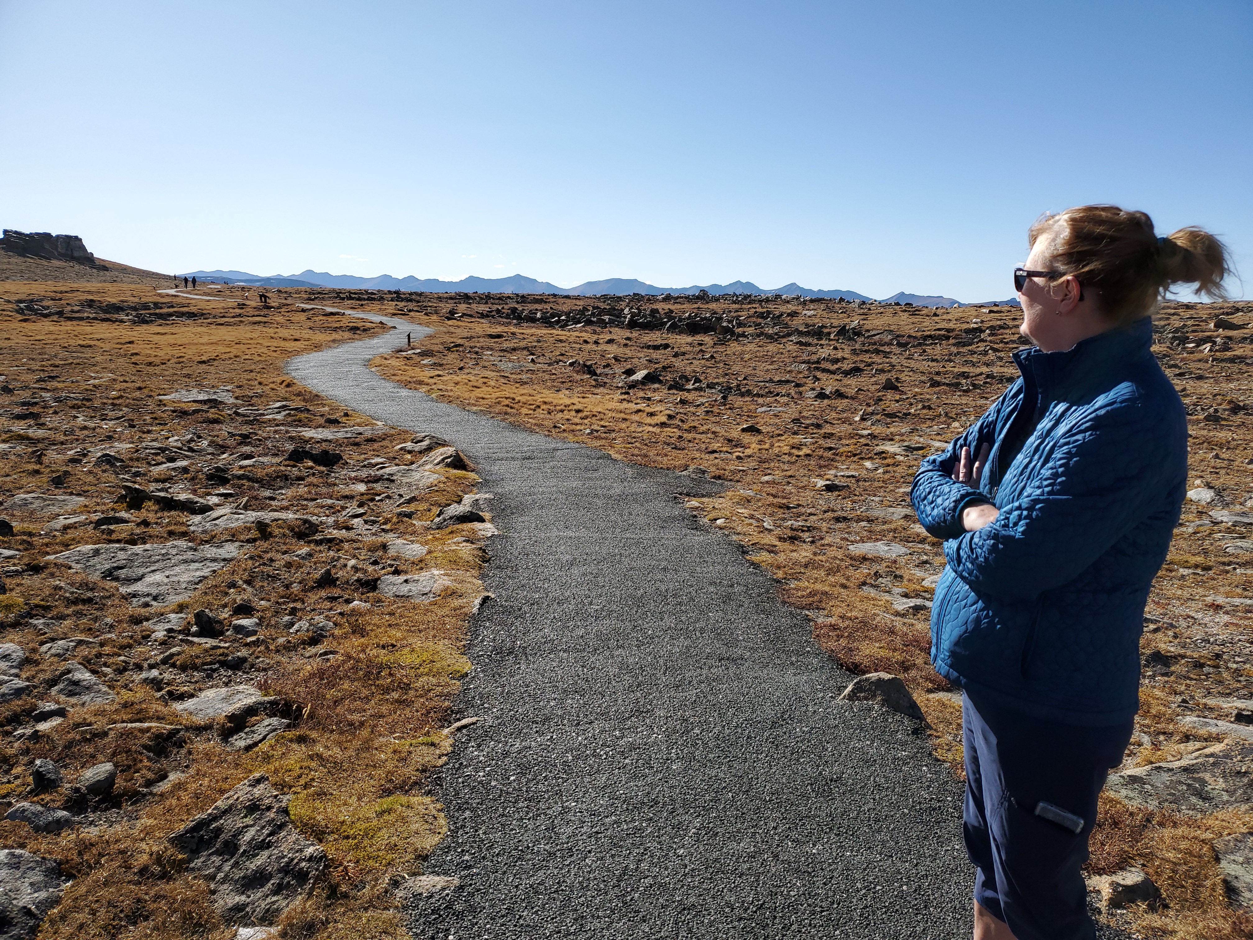
At the highest point on the road is a paved trail that leads through the delicate tundra at 12,300 feet. This is the Tundra Communities Trail. It’s a short 1 mile hike, but at this elevation it can be pretty taxing if you aren’t acclimated. At this elevation you only get 35% of the oxygen you get at sea level.
There are interpretive signs all along the trail, which gives you a good reason to stop and catch your breath. It’s prettier in summer when the wildflowers are blooming, but regardless of the time of year the stark nature of this landscape is interesting.
The below picture is Mushroom Rocks, where the darker rocks on top are eroding more slowly than the lighter rock.
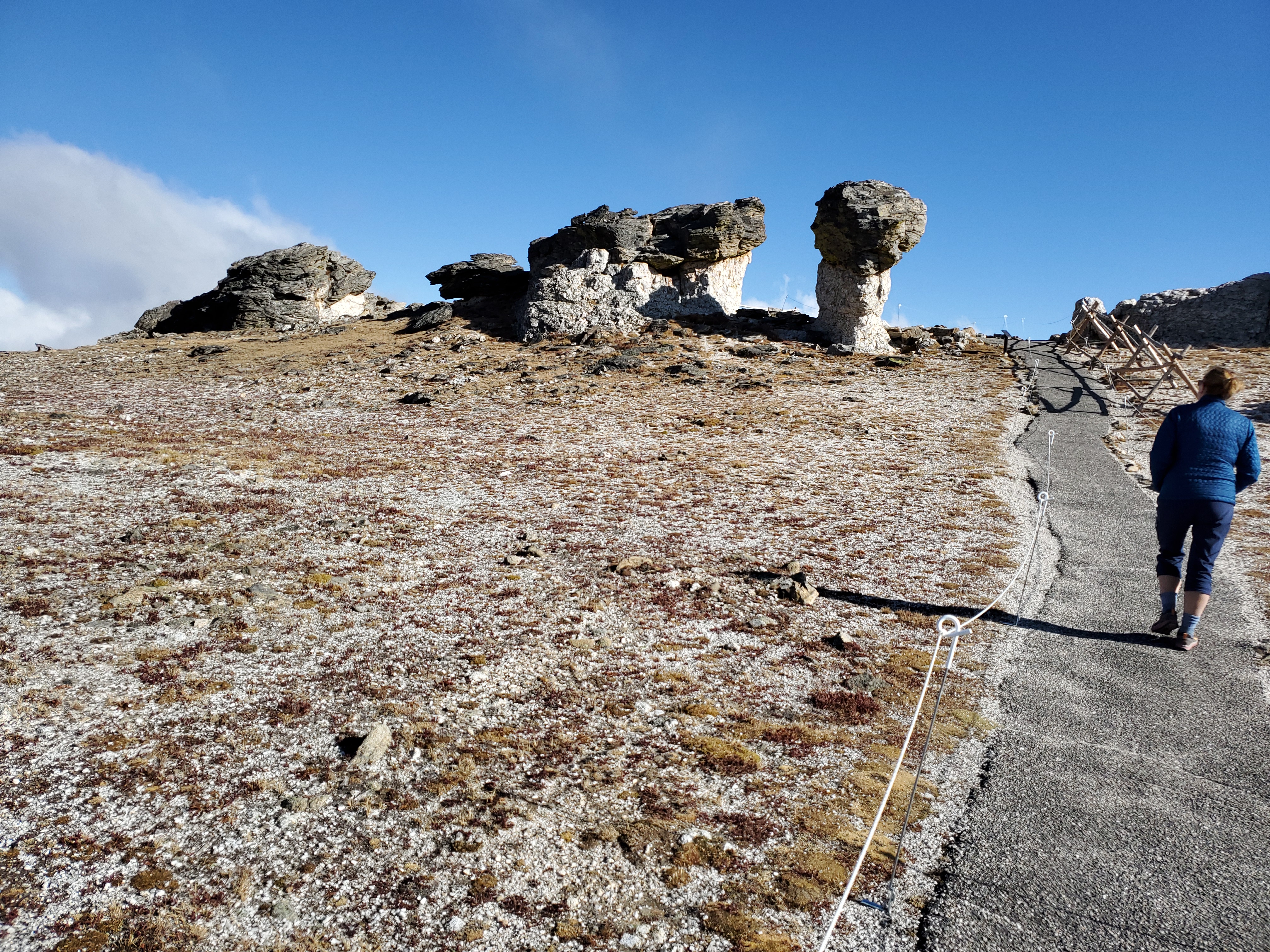
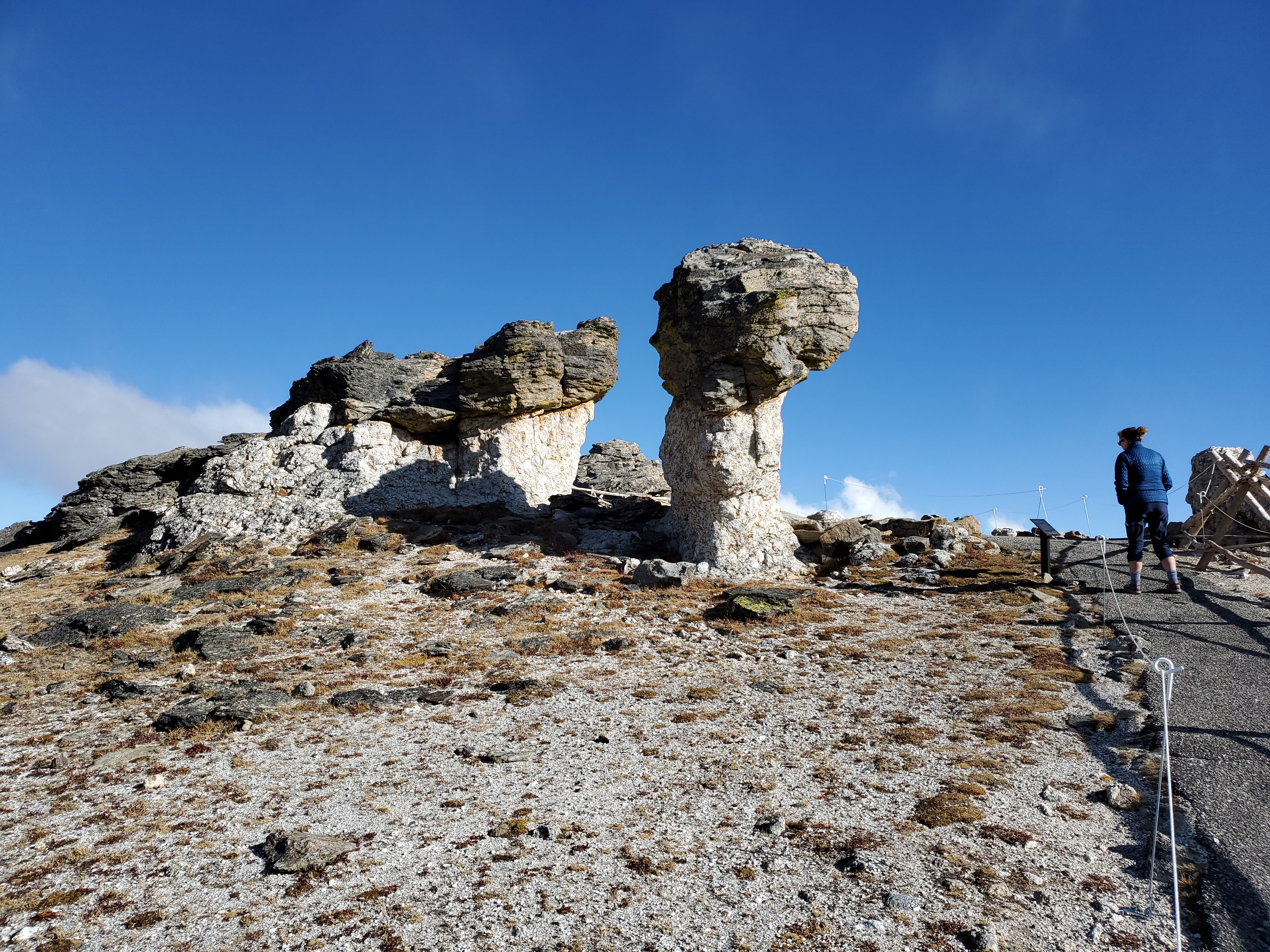
The view from behind Mushroom Rocks.
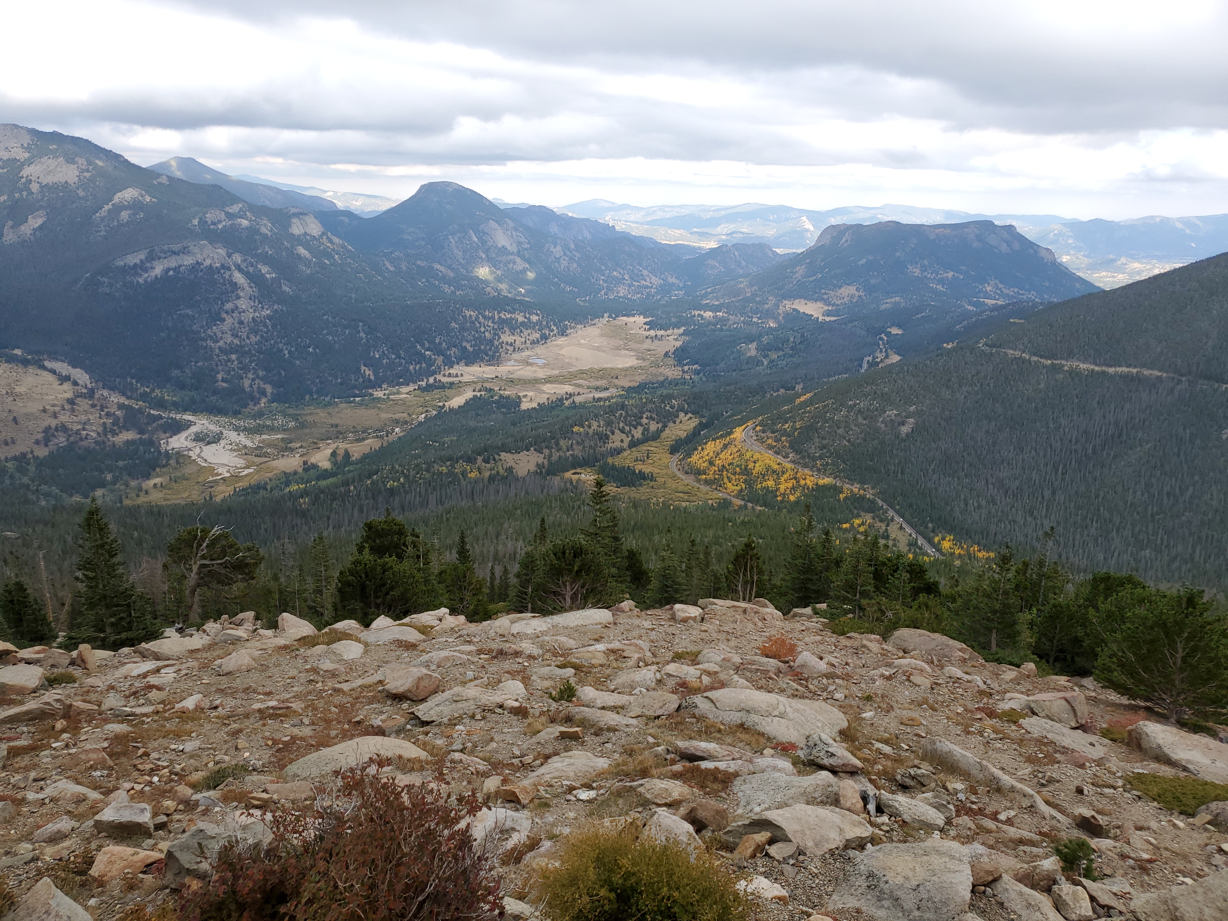
Driving down the east side of Trail Ridge Road leads to more incredible views.
Part 2 coming soon.