We met our guide Maria and driver Arturo and departed the airport Hacienda and headed south towards our destination for our third night, Hacienda El Porvenir, in the Andes mountains near Cotopaxi Volcano. We drove along a portion of the Pan-American Highway, also known as the “Avenue of the Volcanoes”, since there are several volcanoes to the left and right of the highway. After about 45 minutes of driving we arrived in the little town of Machachi, which was a lot cuter than what we have seen in Ecuador so far.
We parked and our guide took us on a little walking tour of the town. First up was the Colonial town square, which dates from the 17th century when Franciscan missionaries first settled in this territory. Below is our guide Maria describing the history of the square, and pointing out these funky pine trees.
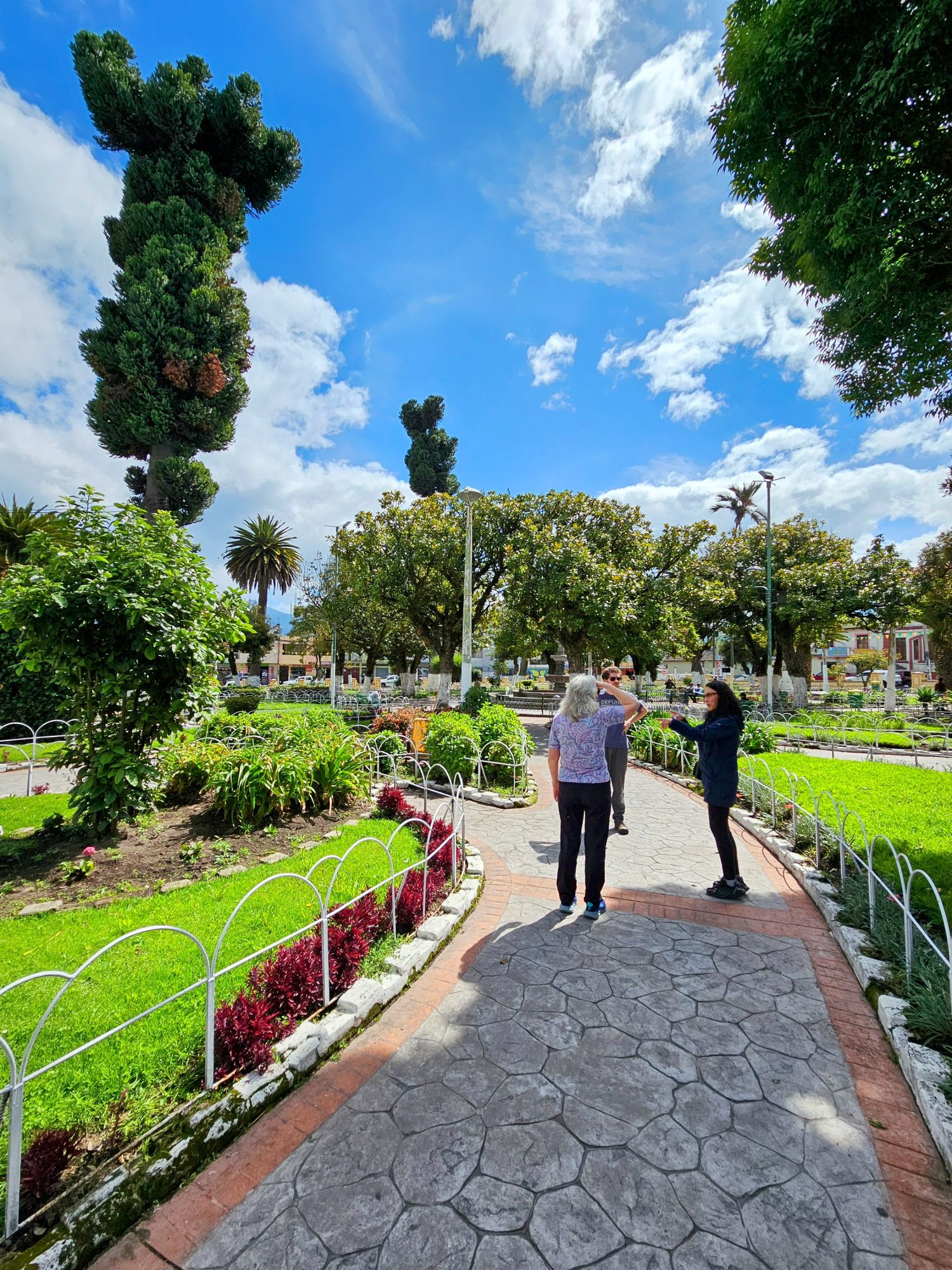
The square really does look like something you’d see in Spain.

We then walked across the street to check out the town’s old church, the Parish Santiago Apostle, with an absolutely beautiful interior.
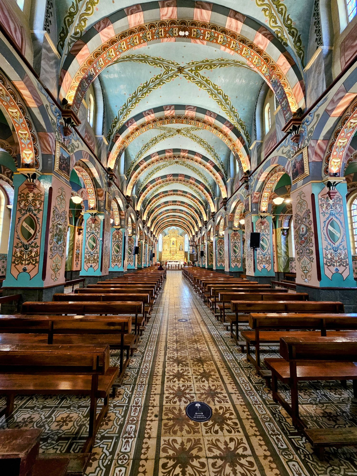
The church is covered in gold leaf, which strikes quite the dichotomy with the poverty that surrounds the space. It was interesting to note the Ecuadorian flag near the altar, making it clear this isn’t a place that separates church from state.

The church looks quite plain from the outside, so the inside was surprising. In the background is one of the seven volcanoes that surrounds the town.
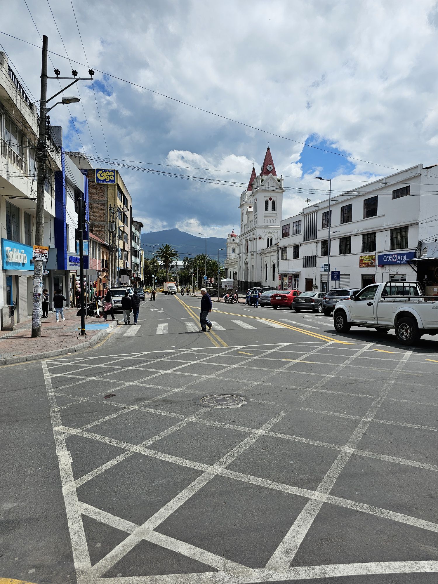
We then drove to our destination for the night, and encountered more cobble stone roadways. Maria referred to them as Colonial roads, but if they drove anything with wooden wheels over these roads those wheels wouldn’t last long!
After much bouncing up and down and all around, we finally arrived at Hacienda El Porvenir. We loved the thatched roofs on the buildings. This is a stock photo from their website, as it started raining after we arrived, and it was an outright downpour for awhile, so I never took a photo of my own. If only we could have had those blue skies!

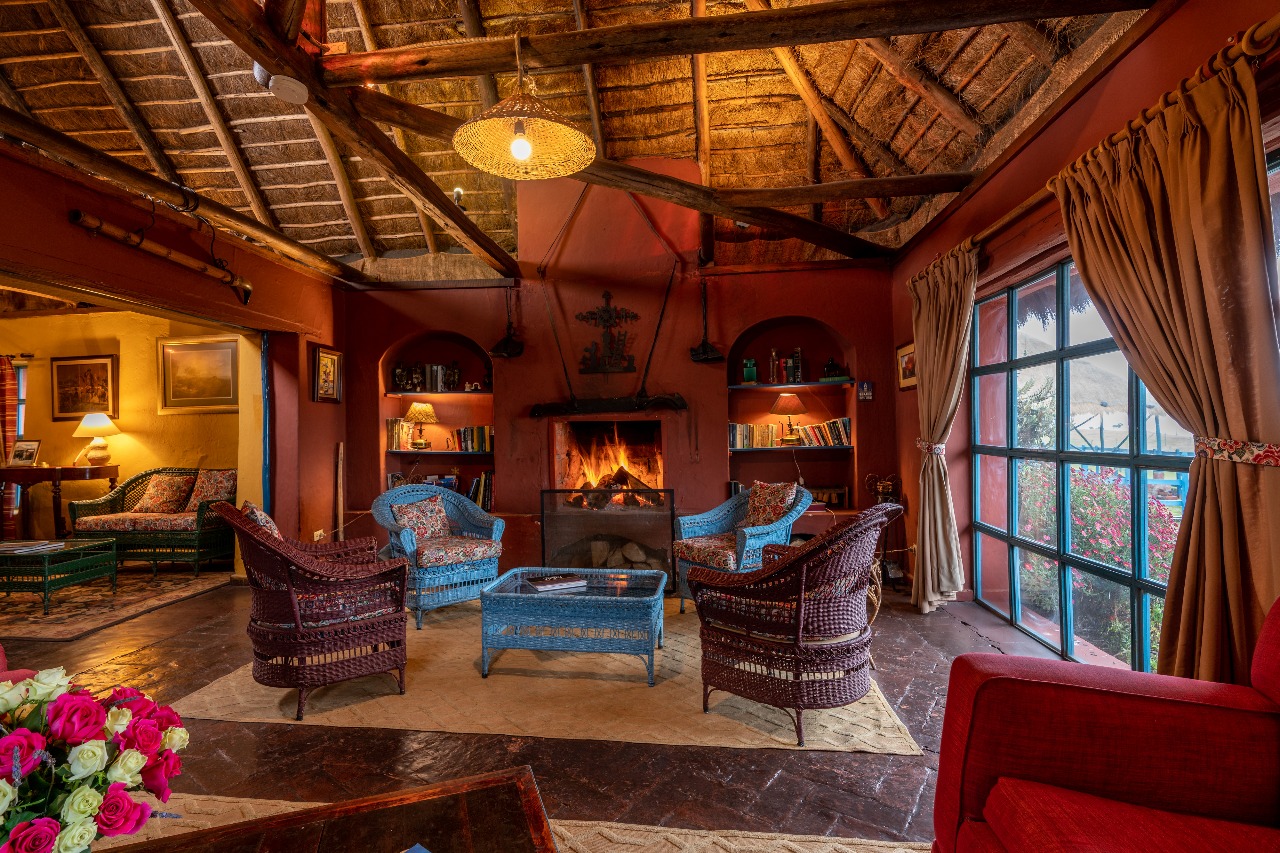
This is another stock photo of their lounge, where they brought us a drink upon our arrival. We are now sitting at 11,800 feet, so the fireplace was a nice spot to warm up. The owner of the Hacienda came in and greeted us, and gave us a brief history of the place. The land, purchased in 1913 by a wealthy widow, has been in the same family for five generations. The wealthy widow decided to buy it after visiting the property, a 5 day horse ride from Quito. Her advisors told her it was a waste of money, referring to it as “porvenir”, meaning it has “no future”. She decided to buy it anyway, and gave it the name Hacienda El Porvenir.
The rain subsided in the early afternoon so we took a drive towards the Cotopaxi National Park, where we went on a short hike adjacent to the park. Because of the prior downfall we ended up walking right into a swampy area, and did the rest of the hike in squishy shoes. Here is more evidence of that downpour just an hour previously.
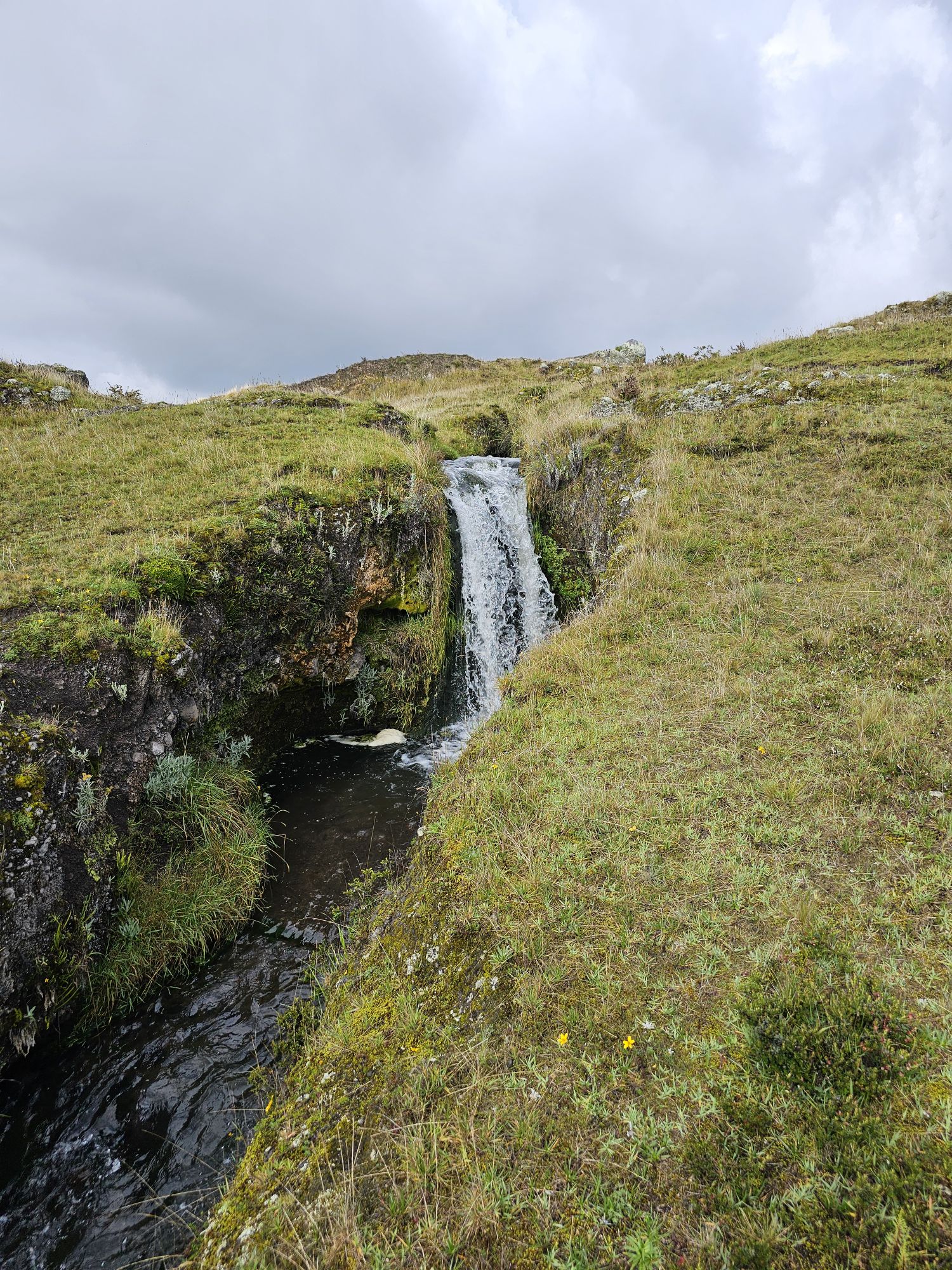
I loved the juxtaposition of the sunlit hills in the middle part of this photo. A lot of this terrain reminds me of Iceland.
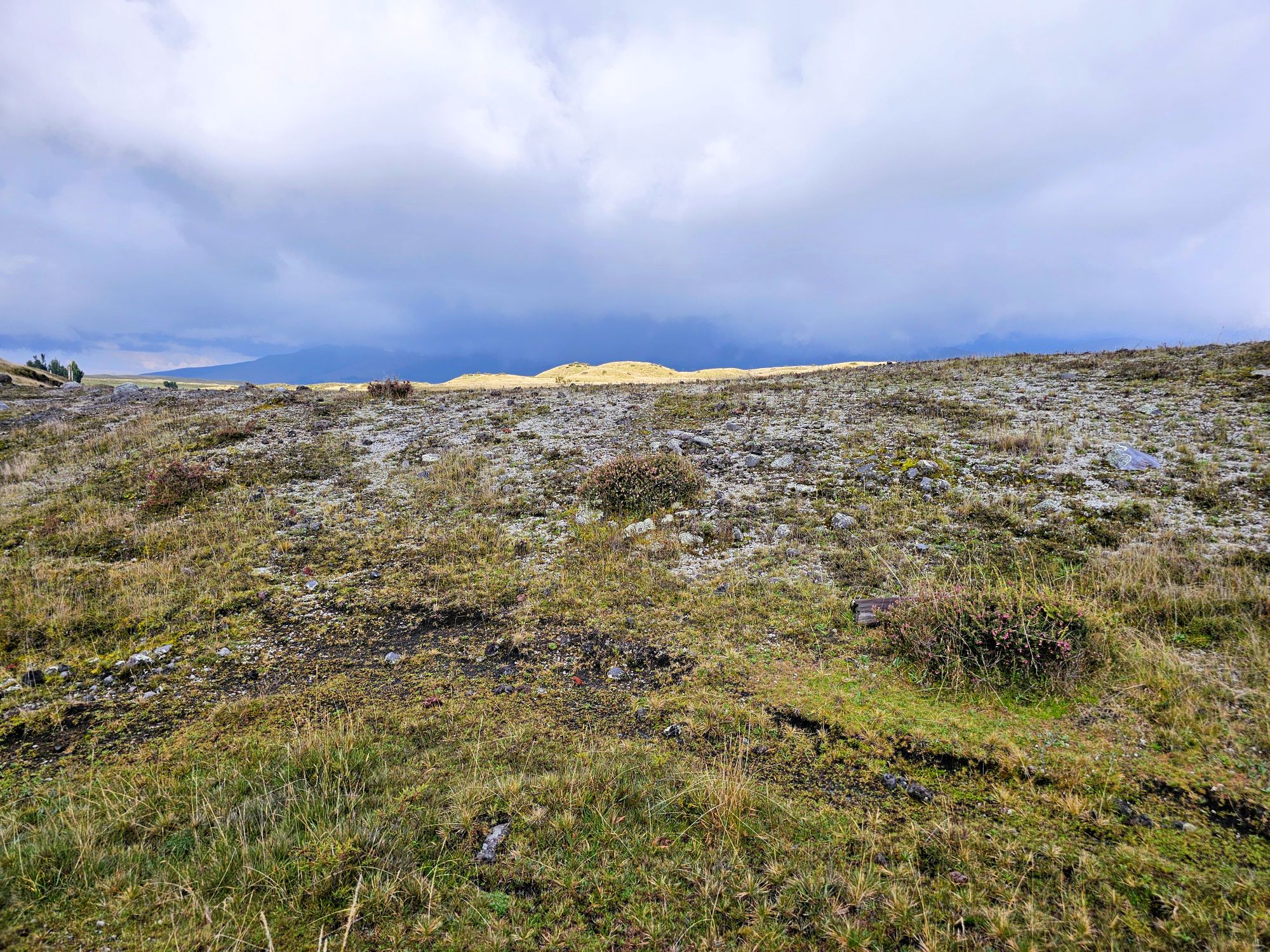
About half an hour later these dark clouds started heading our way, so we turned back to try to avoid the rain.
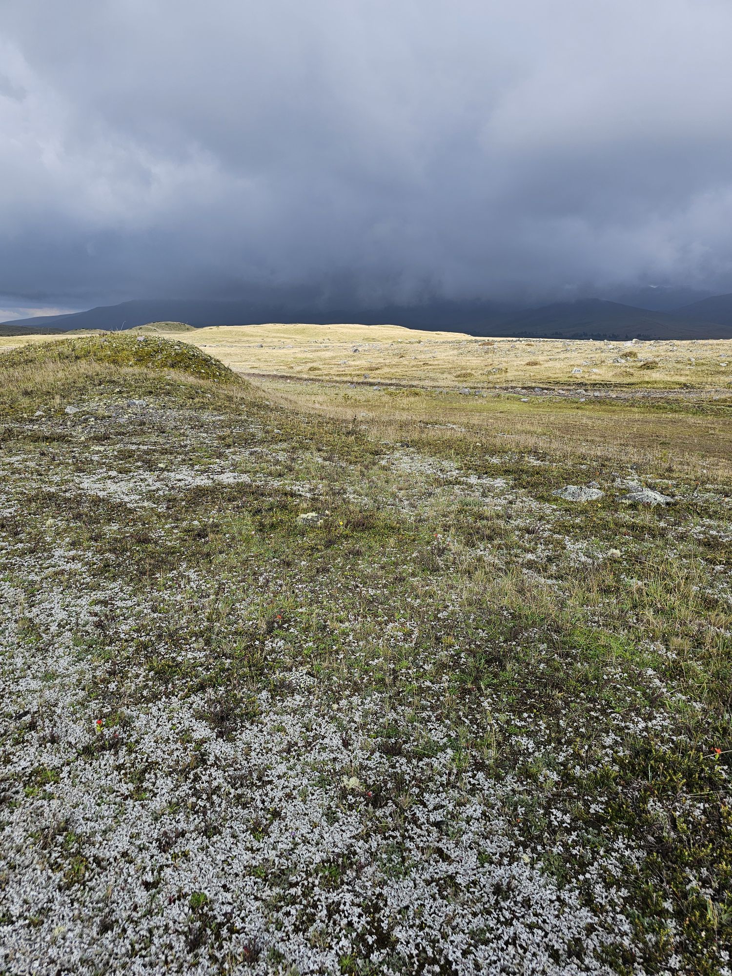
As things have been going on this trip, we didn’t make it back before the downpour, and I’ve not been out in rain that hard in a long time! I was very happy to have a big umbrella, as it was like carrying a circular waterfall with me! Our shoes got even wetter, which I didn’t think was possible. Remember that fireplace four photos up? Yep, we spent about an hour in front of that thing trying to get our shoes dry for the next day.
The next morning we woke up and could see sun, so it was a positive for the planned activity, horseback riding. Kim and Fletcher have never been on a horse, so I was excited to see how they’d take to it. Miguel, a real Ecuadorian cowboy, known as a Chagras, was our guide. He outfitted us in traditional Chagras attire, and then gave us a brief lecture on how to handle the horses.
Our guide Maria took a photo of us after we saddled up. That’s Miguel on the lower right.
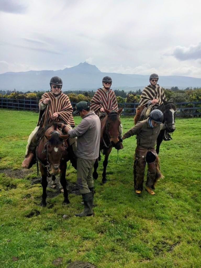
We went up and up, crossing through grasslands with seemingly no trail. Miguel actually asked me to take the lead as we neared our destination, a local summit with a view of several volcanoes, including Cotopaxi. As we neared this summit, my horse and Fletcher’s horse decided they wanted to get there fast, and went from a walk to a trot to a gallop up the last part of the hill. It was pretty cool!
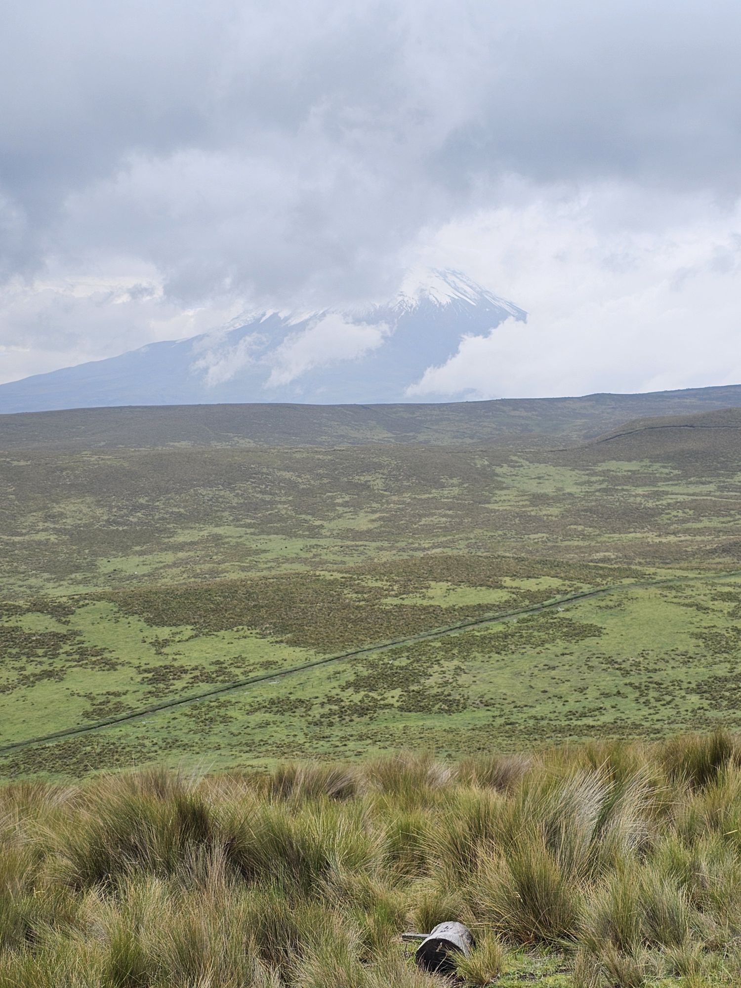
We were lucky enough to see Cotopaxi before the clouds moved in, which seems to happen with great regularity. About 10 minutes after this shot, you could no longer see any part of the mountain.
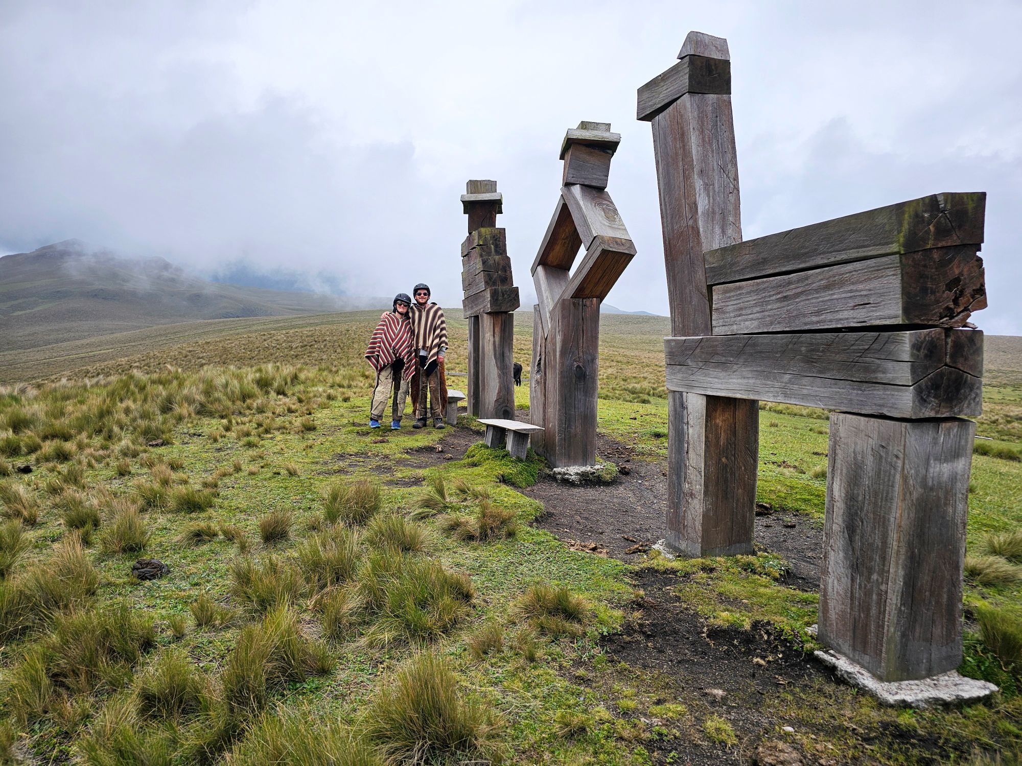
These figures were placed on the summit to honor the local indigenous population; man, woman, and llama. Behind these figures, as well as Kim and Fletcher, is another volcano, completely obscured by the clouds. Things change fast at this elevation!
Here we are before we saddle back up and head down the hill. It was a great experience. There was one horse that was a pain in the ass, but the rest were great. The black horse on the right seemed like the best of the bunch!

After lunch at the Hacienda, we took a very circuitous route back towards Quito so we could see more of the countryside. We drove maybe 30 miles of cobble stone streets that kept us at about 15 MPH. I can’t imagine anybody living up in this region and having to drive on these every day!
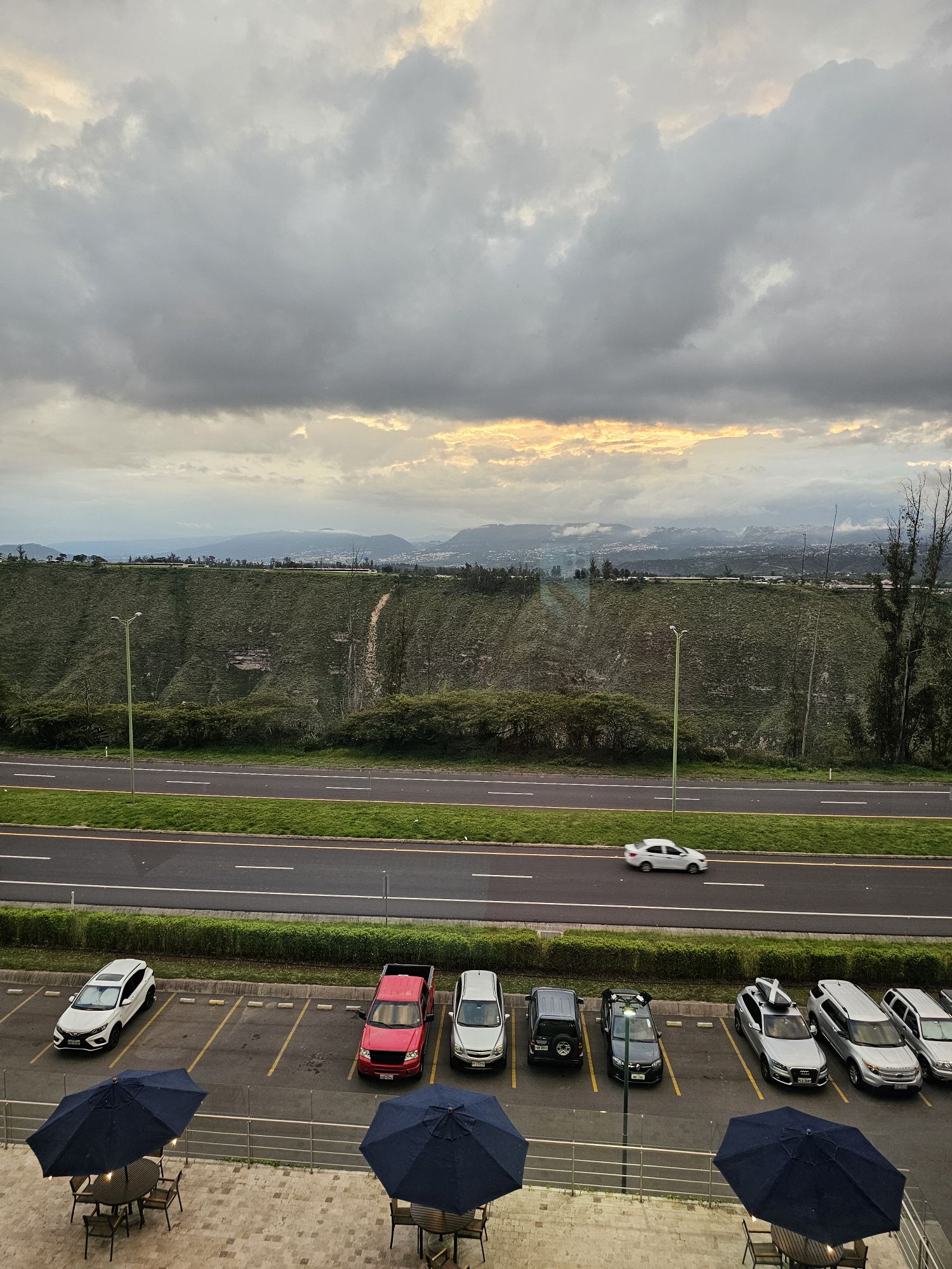
We got dropped off at our hotel right next to the airport, where we have to be ready to be picked up at 6:00 AM to catch a flight to the Galapagos Islands. Here is a shot of Quito from our hotel. Hopefully it’s not the only part of Quito we’re going to see outside of the area around the airport.
