The Irish love to talk about their respective areas by County. Various people we met in this area would say “I’m from County Donegal”, instead of what city they actually live in. I guess this would be akin to us always saying we are from the “Bay Area” when we are asked what part of California we live in. In any case, this post covers County Donegal (pronounced Donnie Gall). I had to keep this mnemonic in my head to keep myself from bastardizing the name.
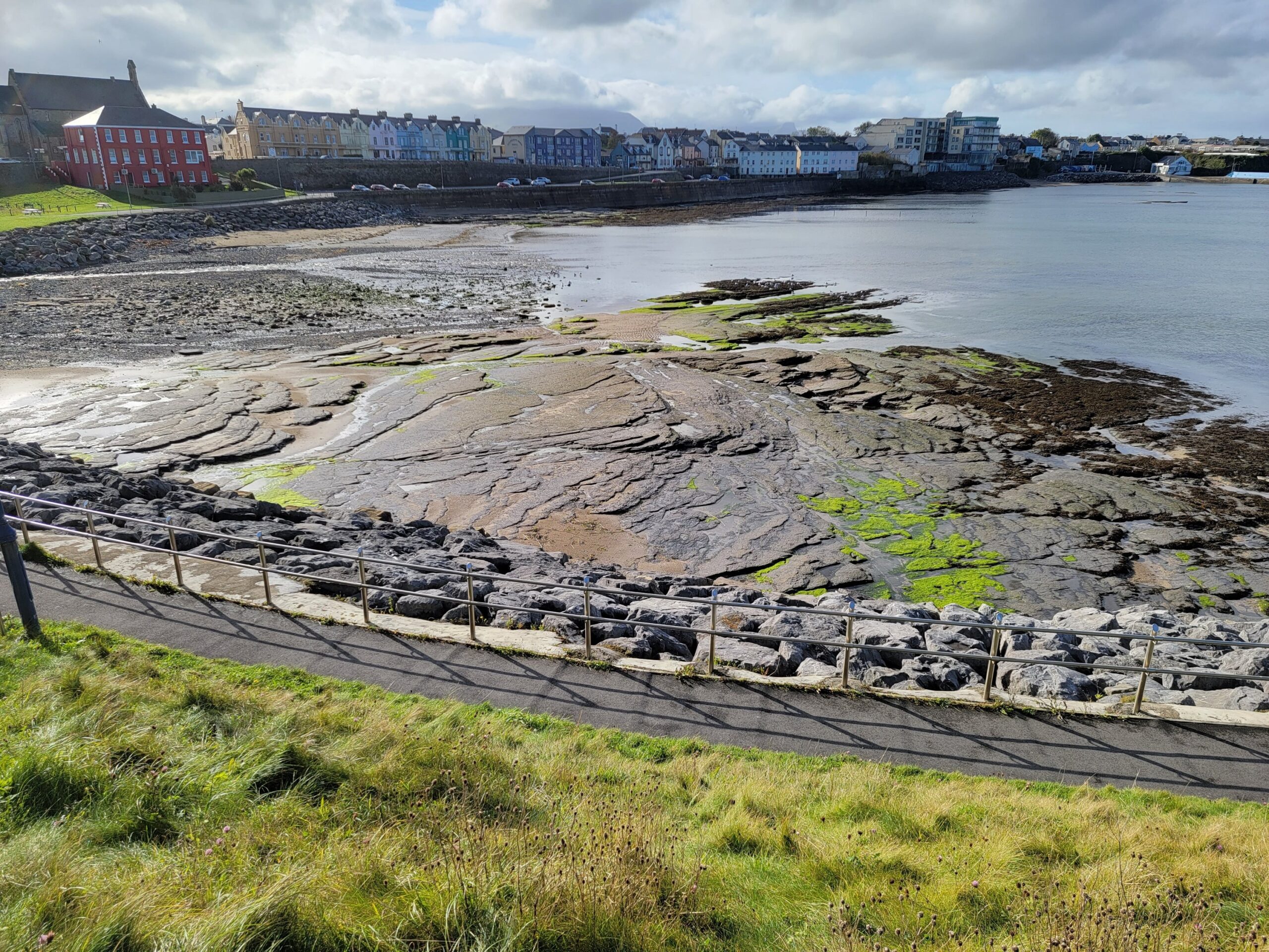
We didn’t have far to travel to our new accommodations, so we stopped along the way at the little seaside town of Bundoran and walked along the waterfront. Every seaside town seems to have a perfect spot for a walk, and the weather was excellent.
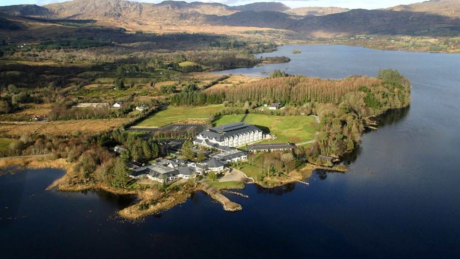
We then drove to our hotel in Donegal, Harvey’s Point, an incredibly beautiful spot on Lough Eske, just outside of the city. This hotel has been consistently rated as one of the top hotels in Ireland, and we can state that it exceeded all expectations.
We arrived at 1350, and reception advised us they were having a complimentary wine tasting at 1400, so you know where we ended up.
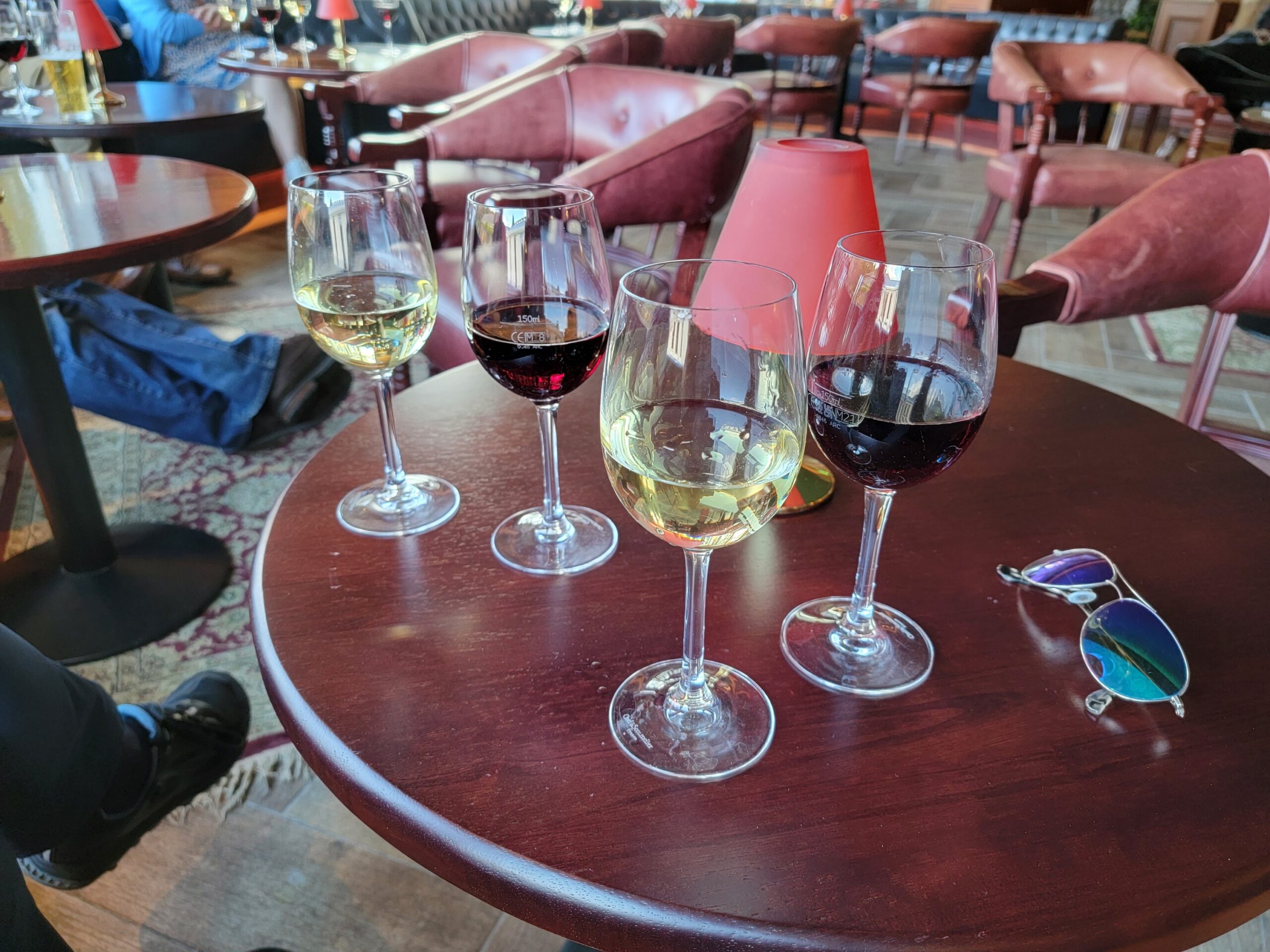
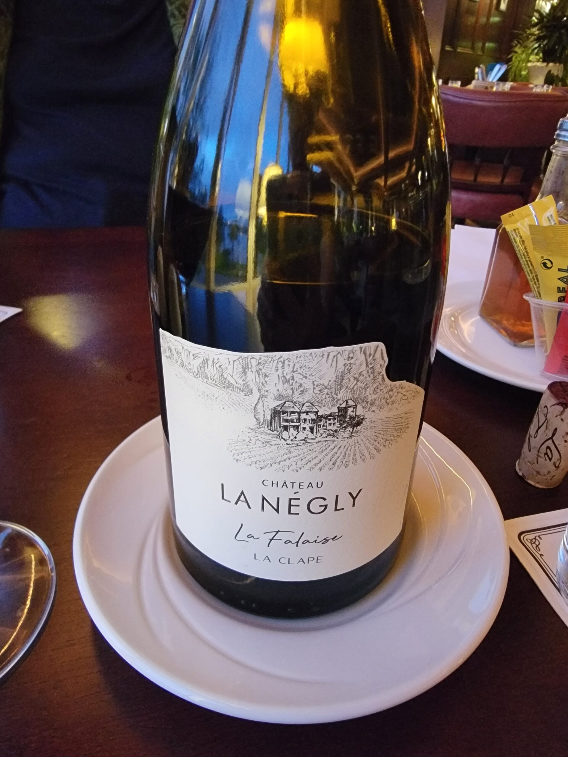
Yes, those pours are “tastings”. They were pouring a Sauvignon Blanc and a Merlot from Chile, and while they were ok, I don’t see either of them in my cellar. I will say that the wines we had with dinner for the three nights we were here were all excellent, with one in particular, a 2018 Grenache based blend, surprising me with how good it was.
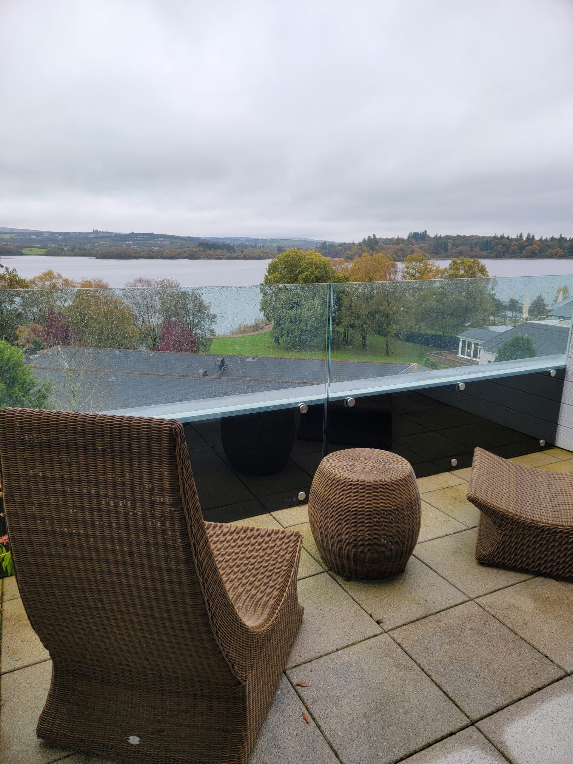
Enough about wine. The view from our room at Harvey’s Point was exceptional, even if the weather wasn’t entirely cooperating.
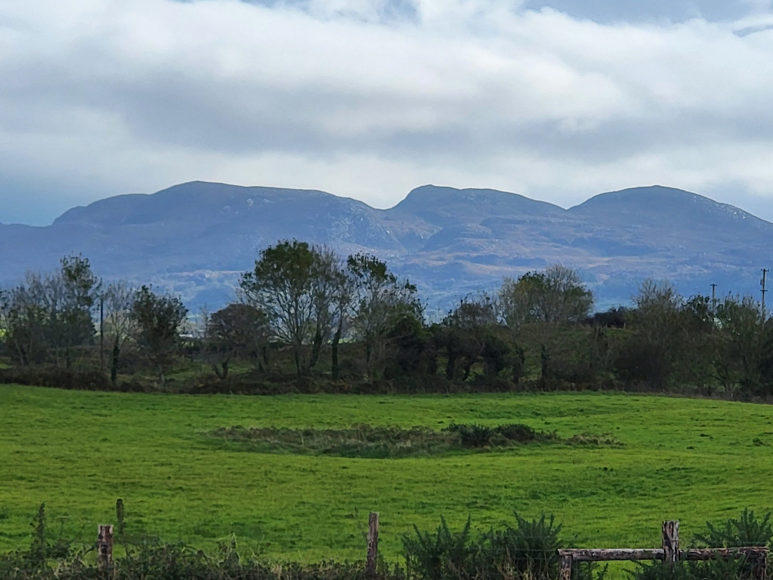
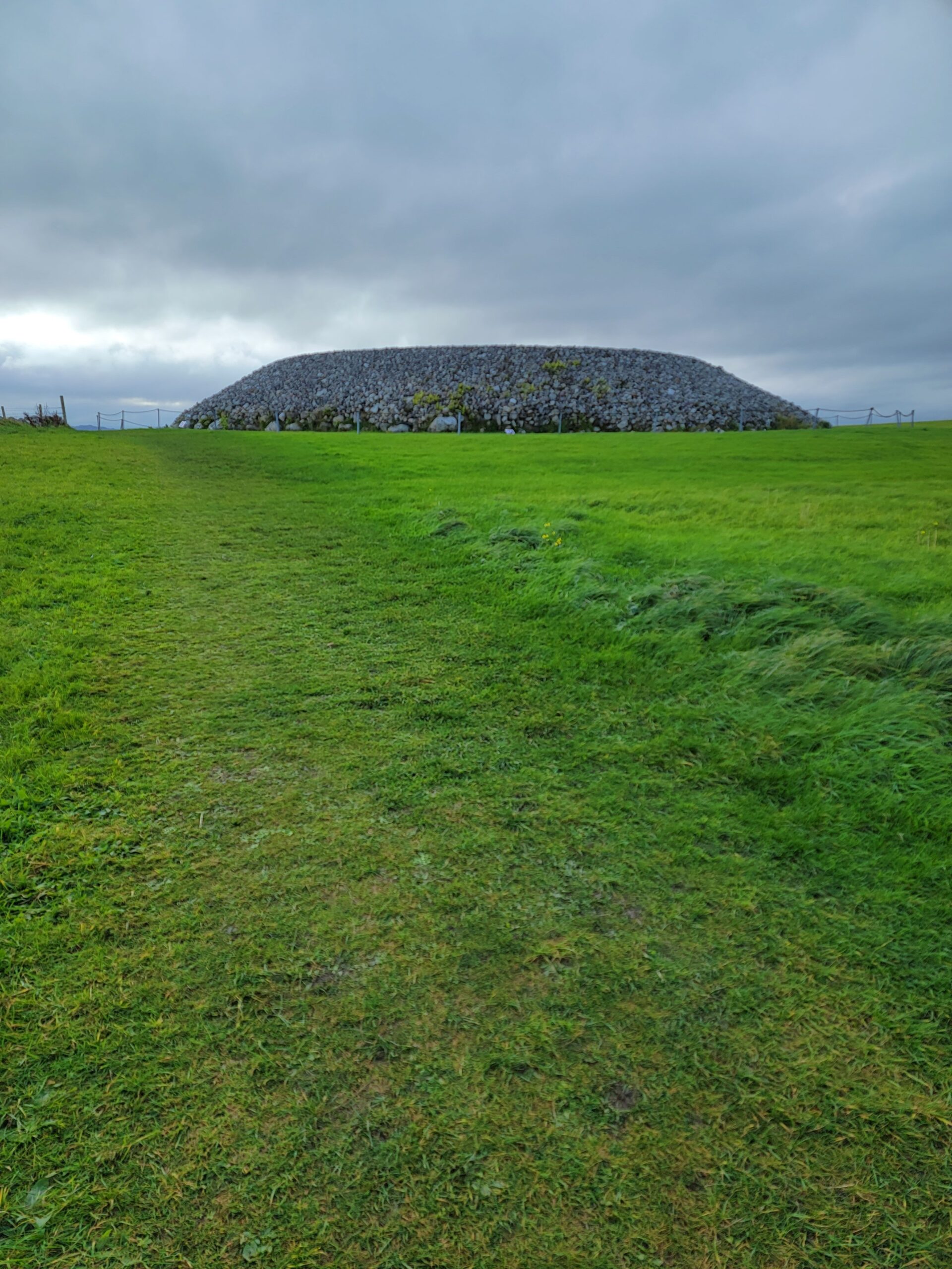
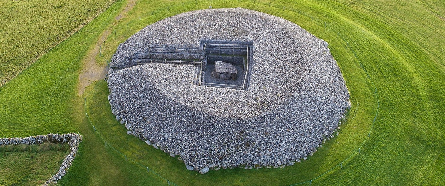
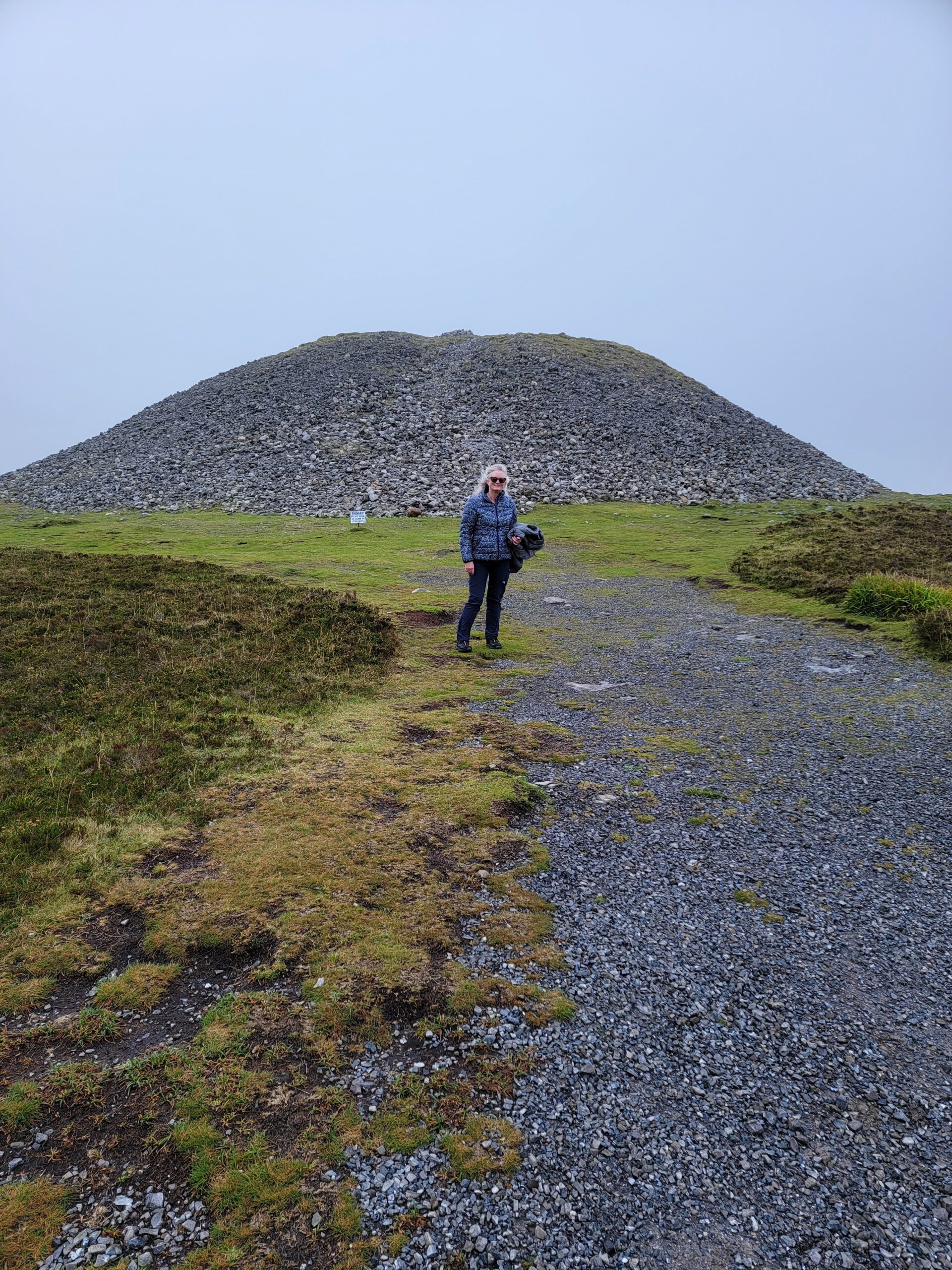
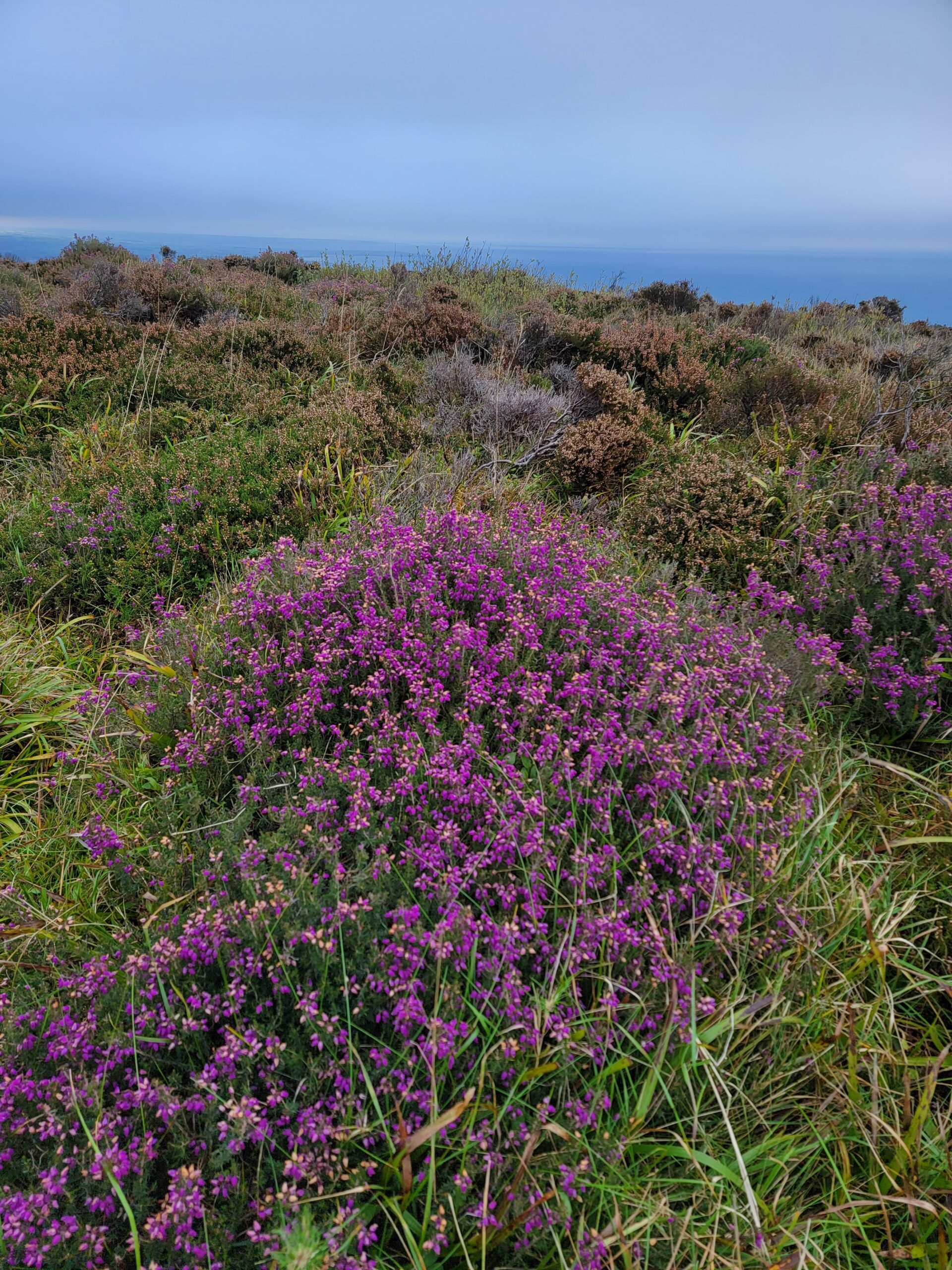
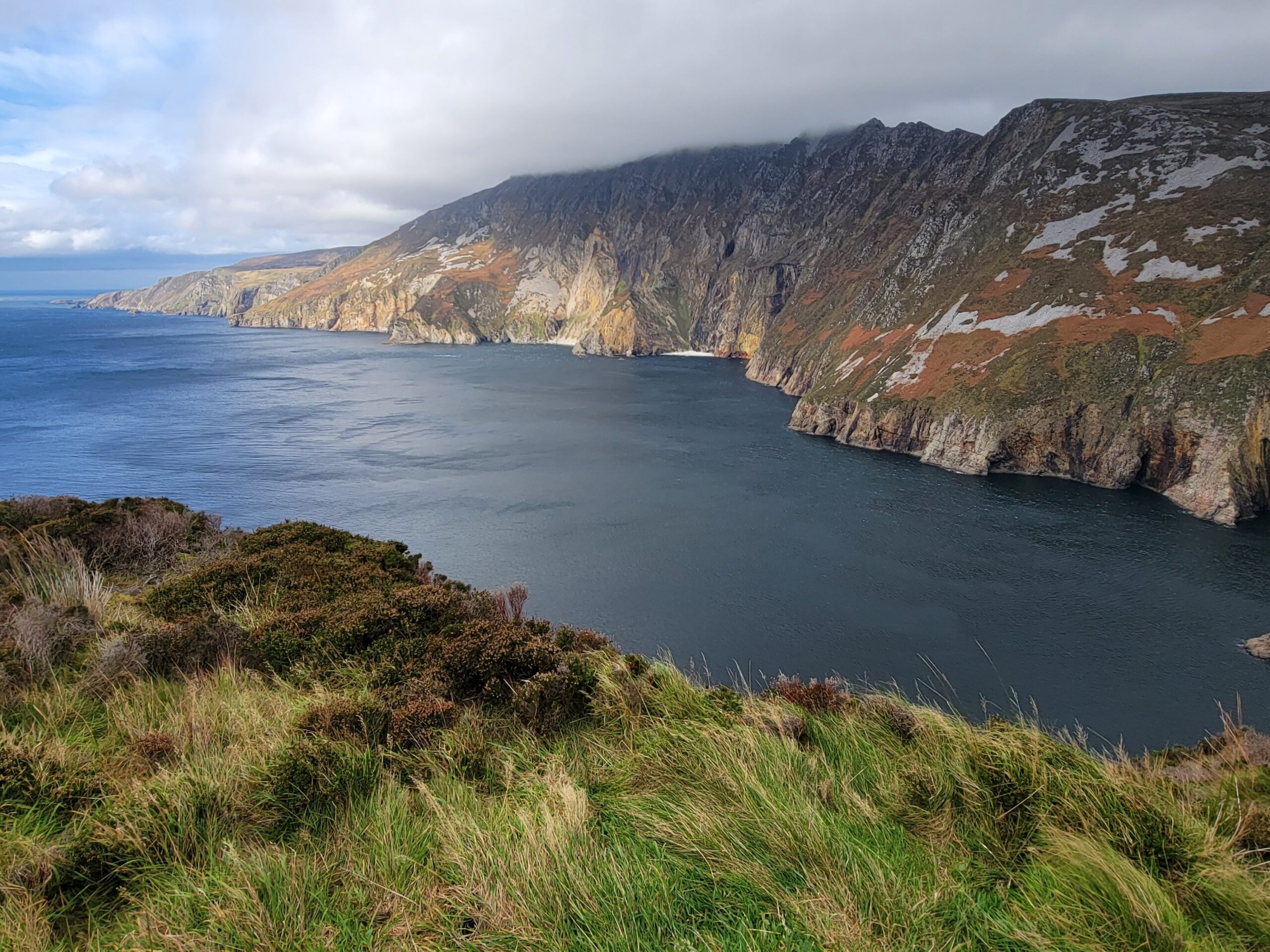
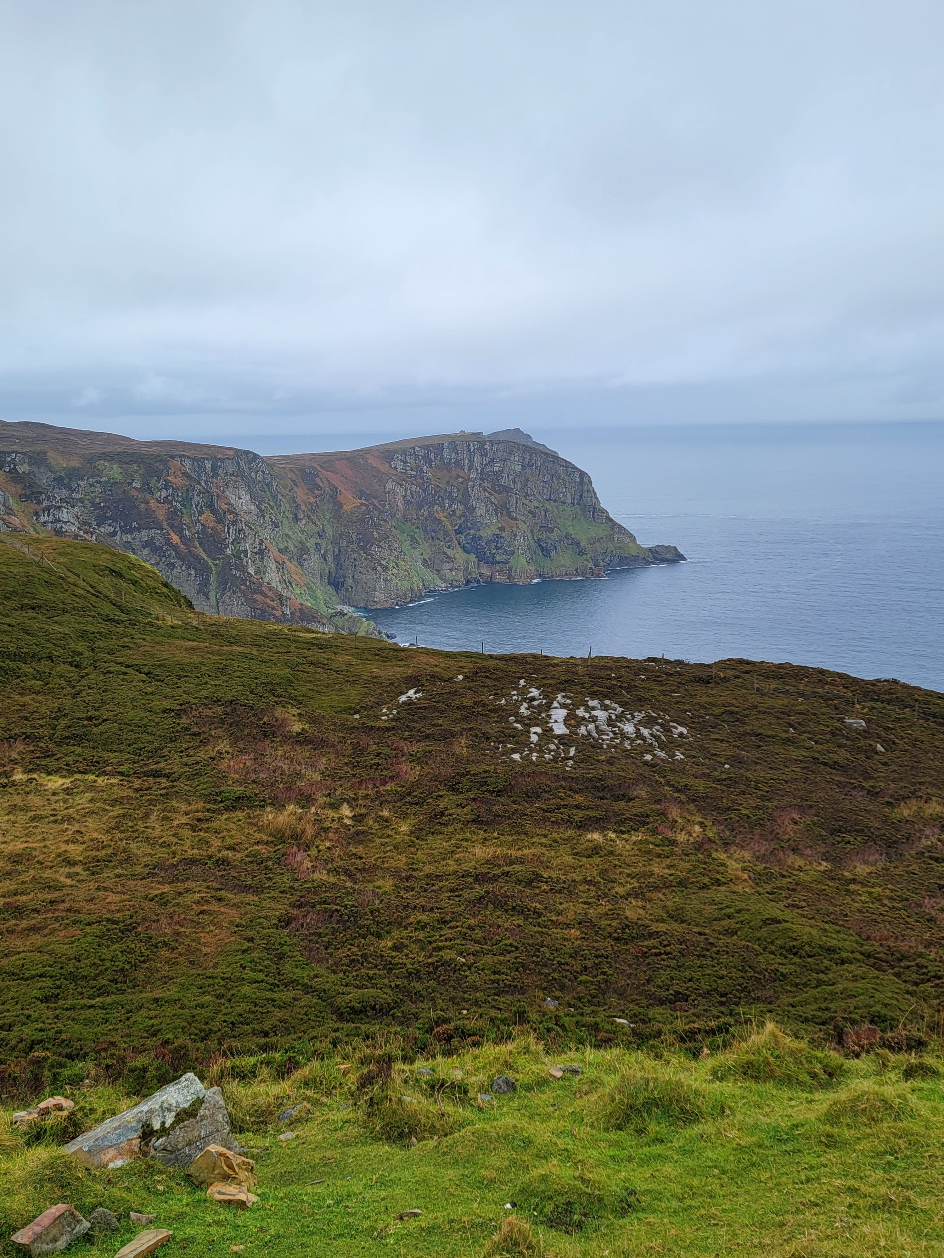
Our first day here we drove out towards a mountain called Slieve League, with the highest sea cliffs in Ireland. Of course, like every other road in Ireland, there is something beautiful along the way.
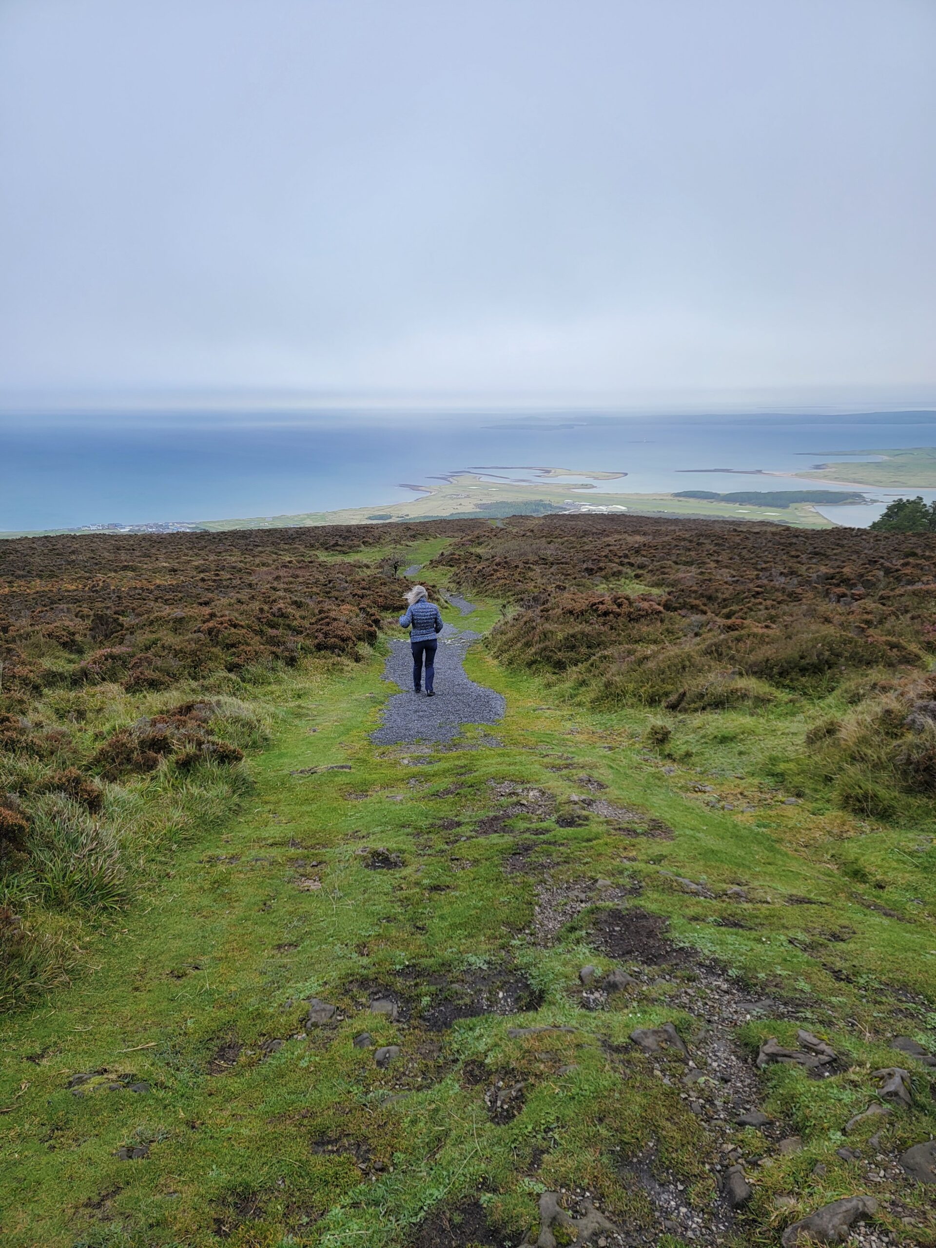
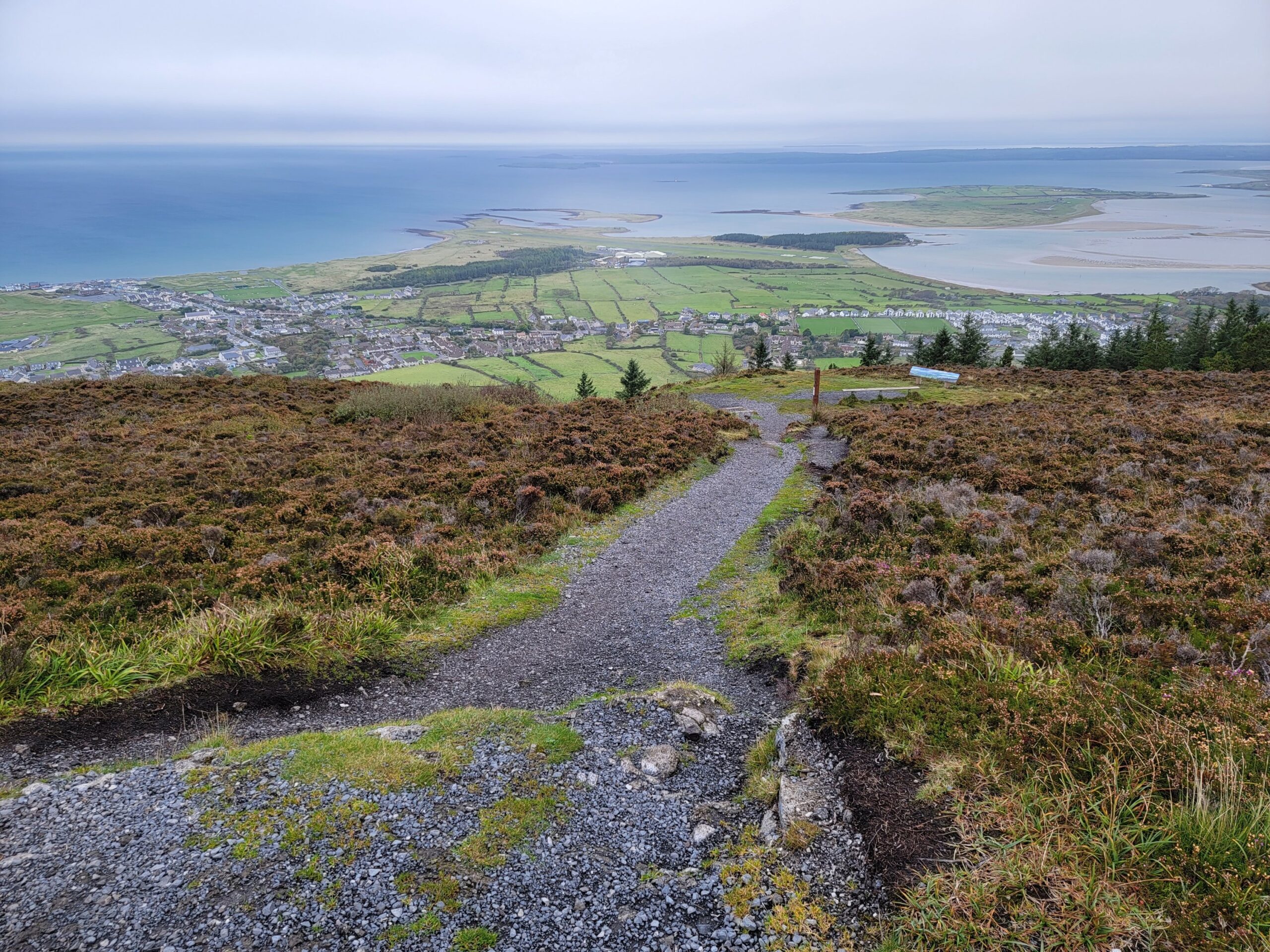
The viewpoint for the Slieve League cliffs is called Bunglass Point. If you are here during the shoulder season, like we were, you can drive to the viewpoint. You can also walk the 2km. We opted to walk, and ended up being greeted by the strongest winds we have yet to encounter, likely in our lives! If you have the option to drive up, TAKE IT! The view is amazing!
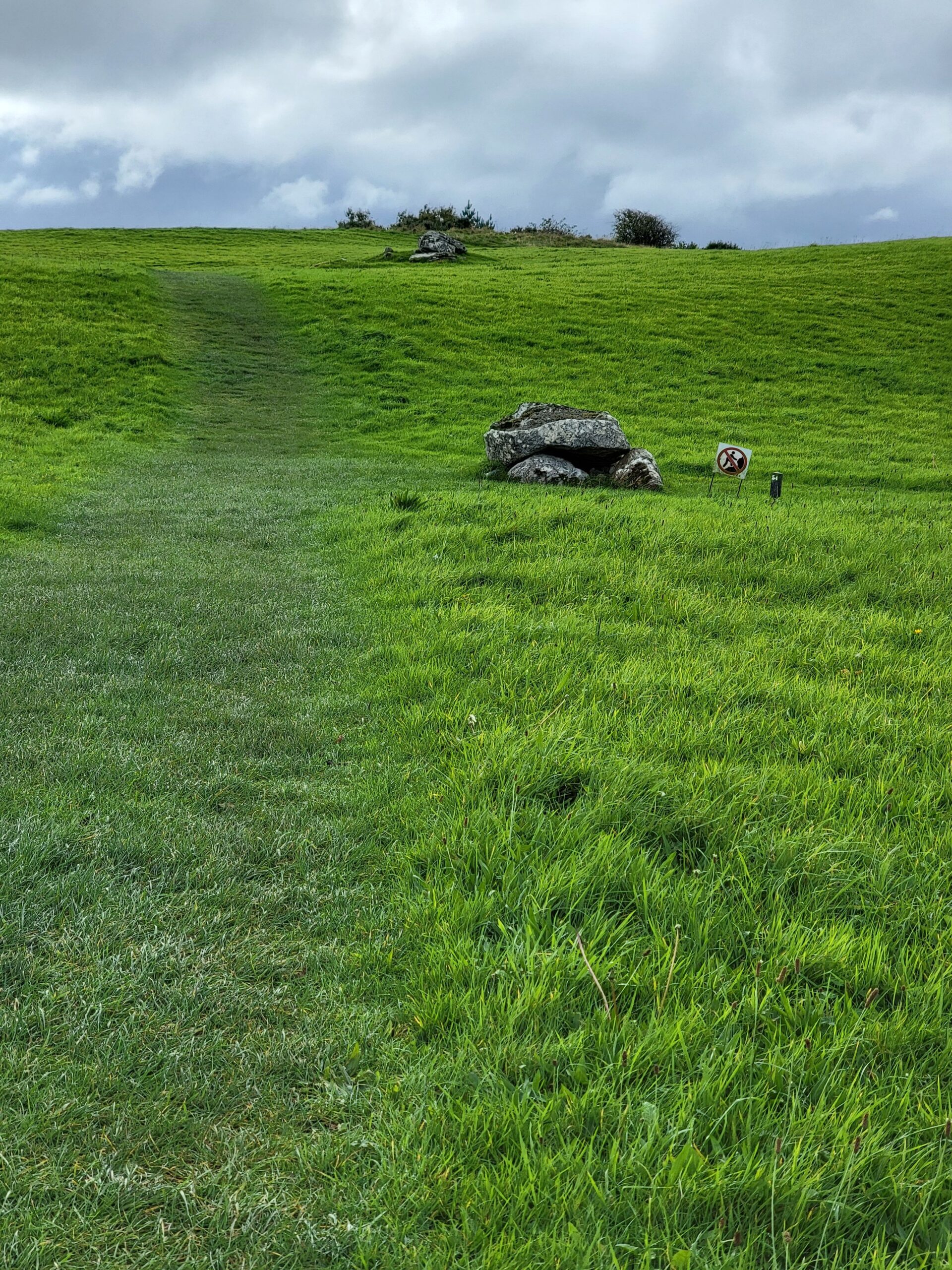
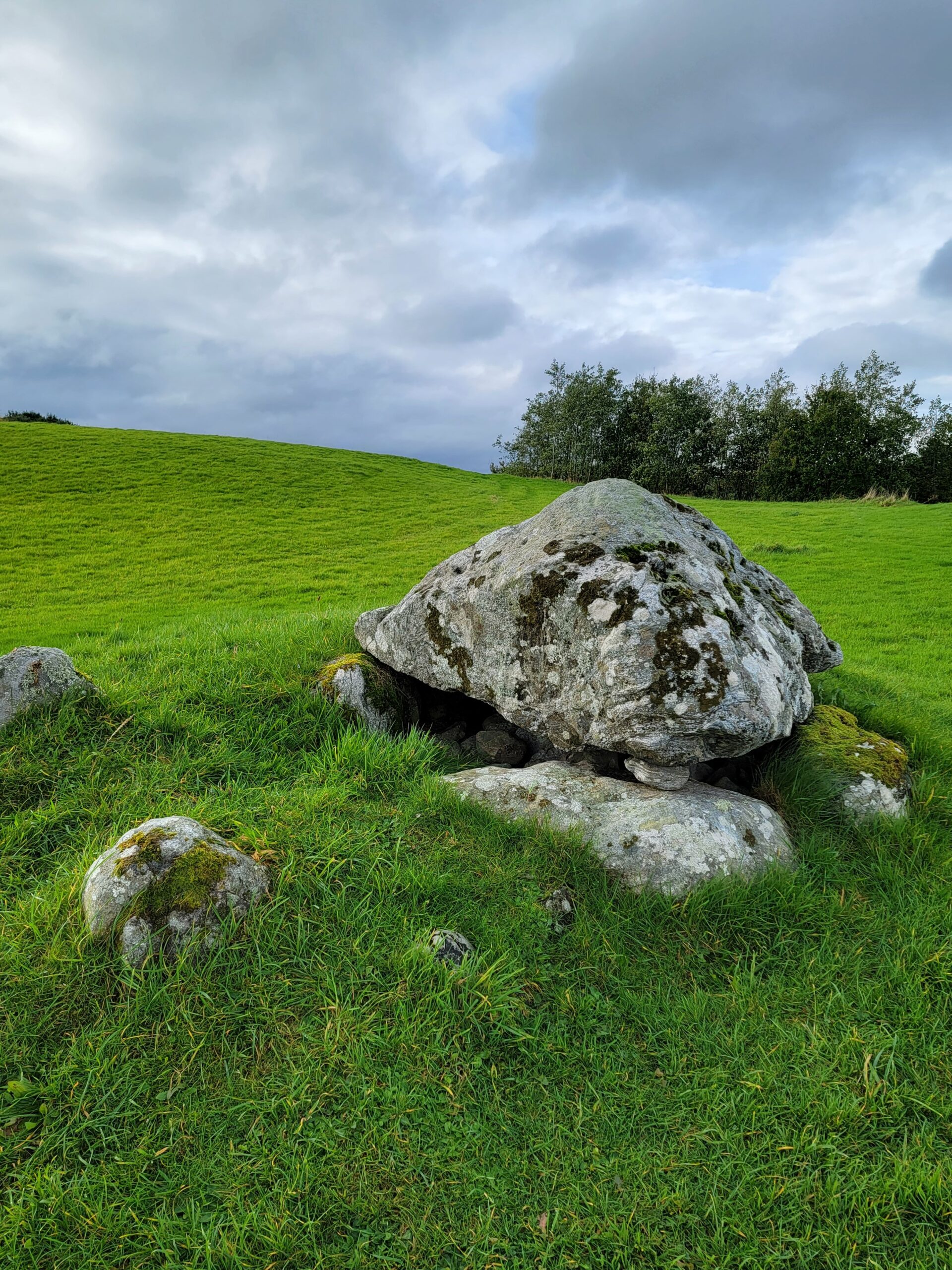
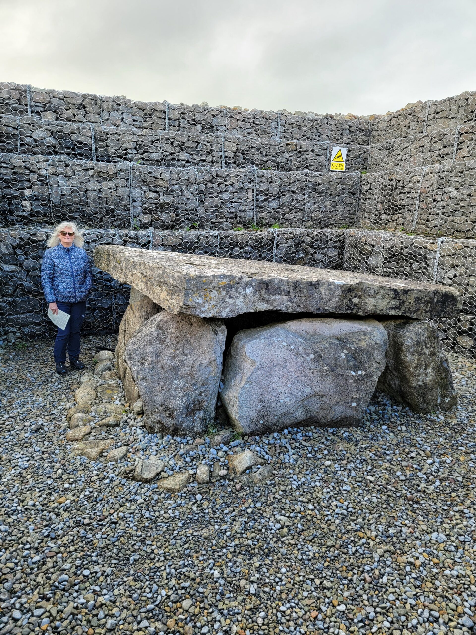
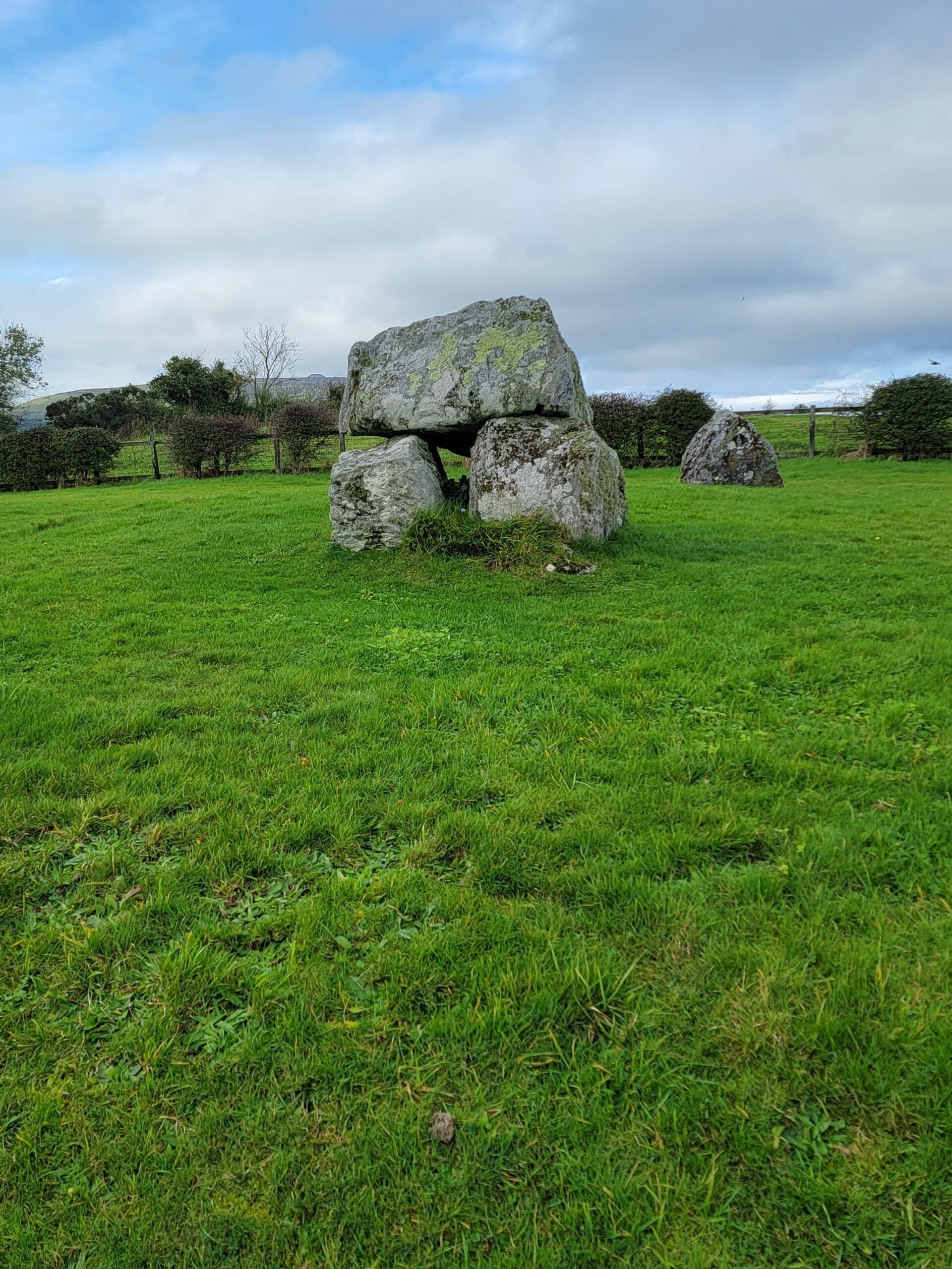
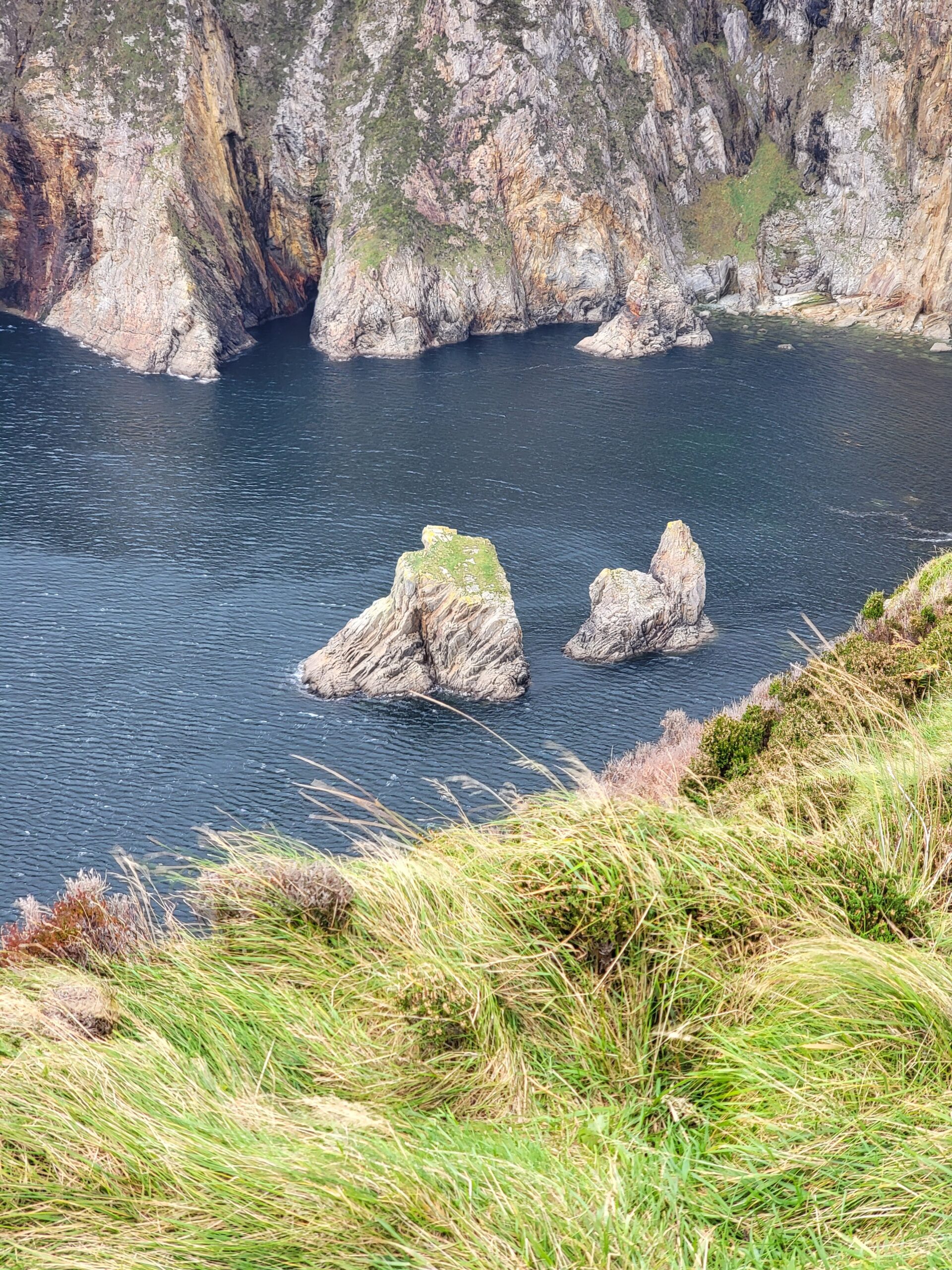
These rocks are referred to as The Table and The Chair.
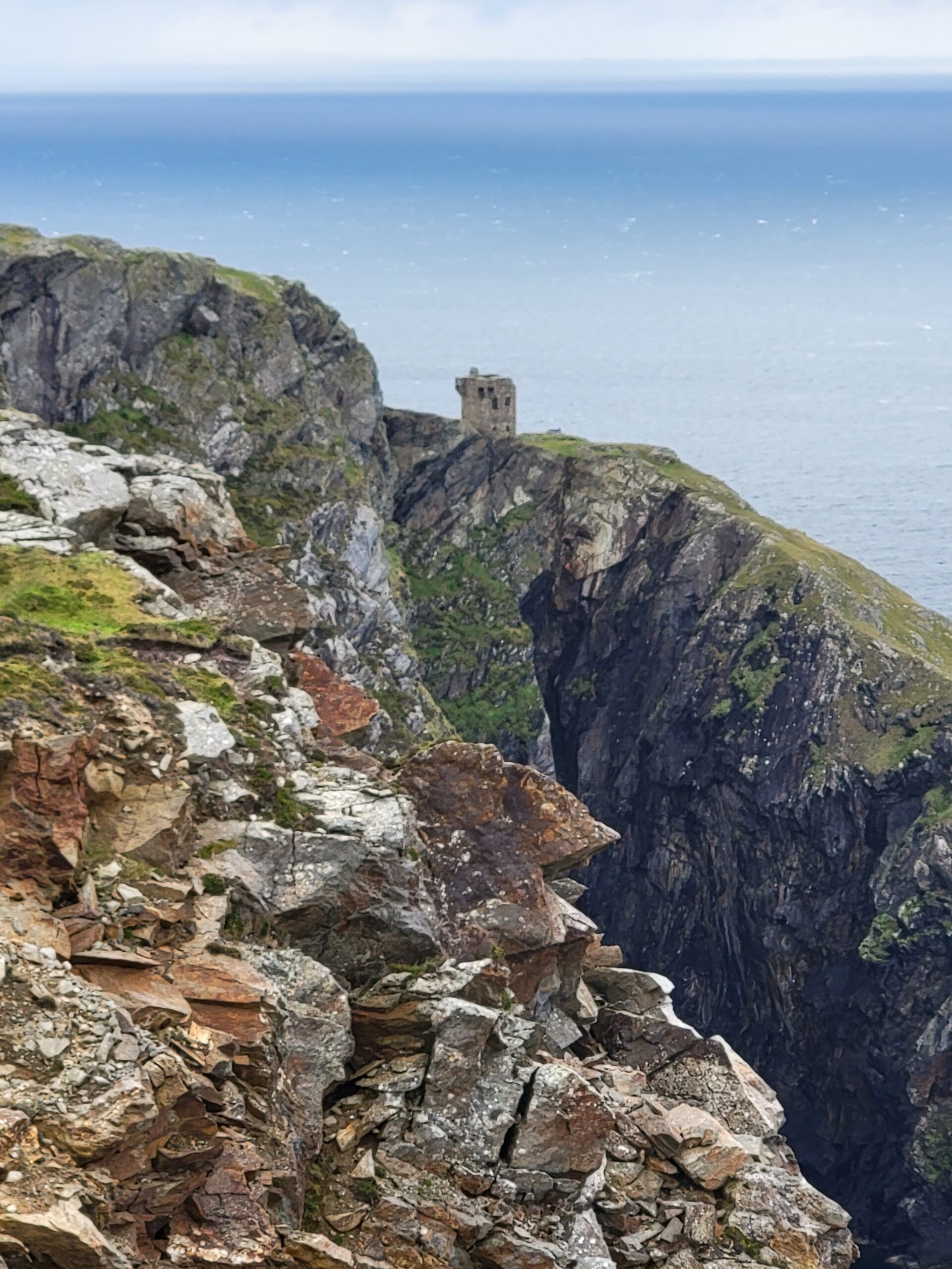
One of the previously mentioned Signal Towers is located on a cliff below. I have no idea how they gained access to this tower…it looked quite treacherous.
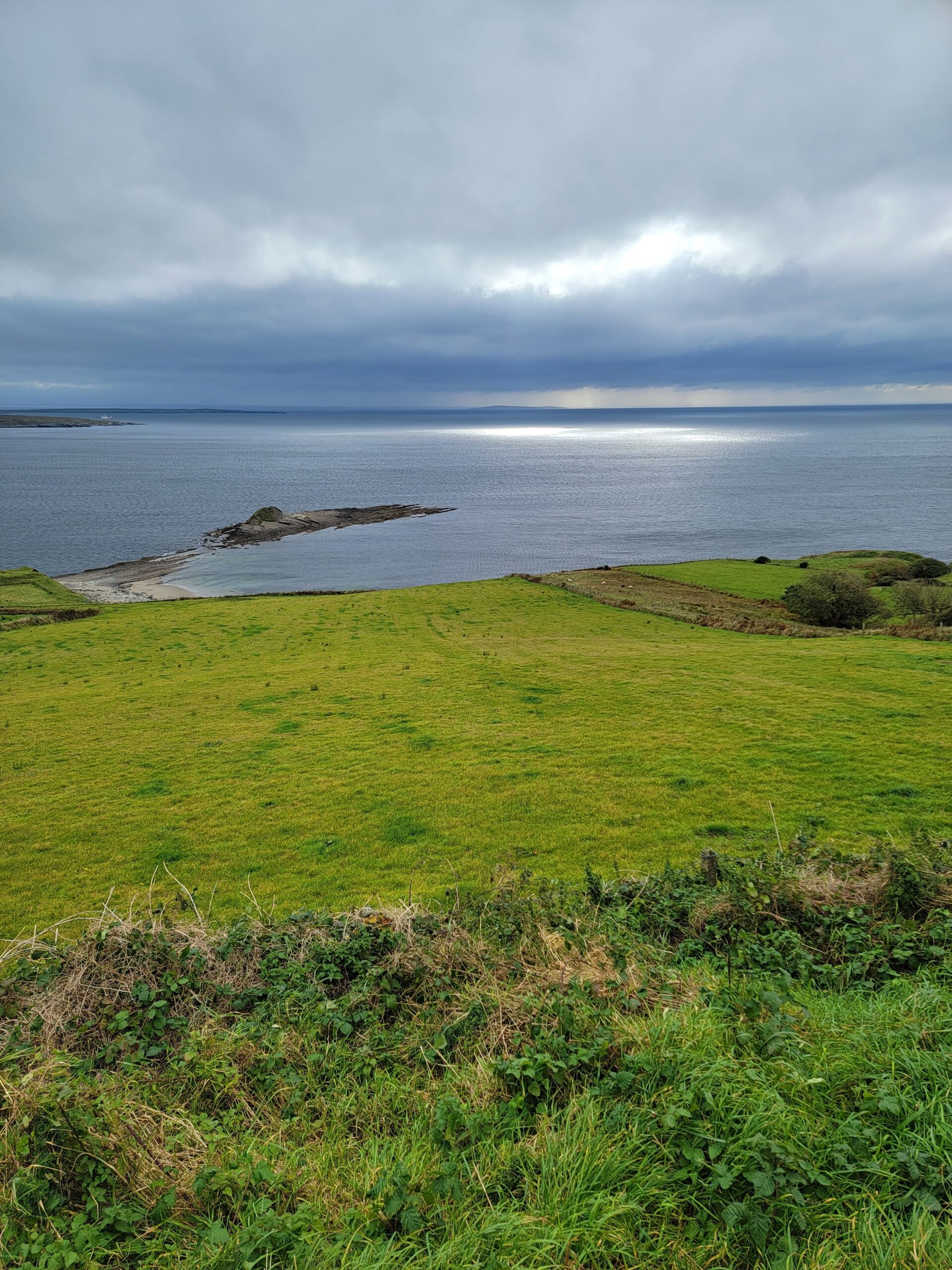
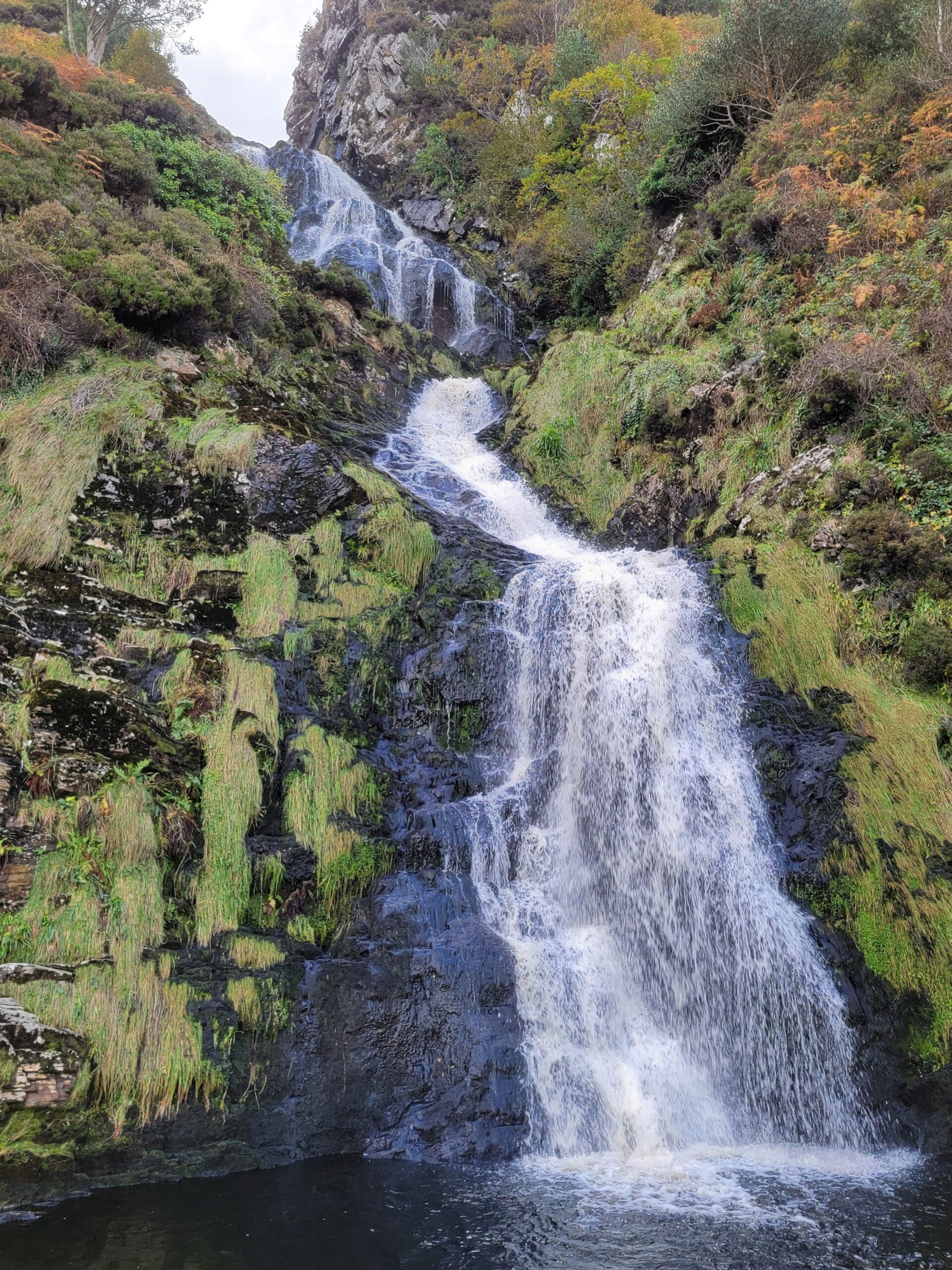
A little bit of a drive around the peninsula, on one-way roads meant to be two-way, brought us to Assaranca Waterfall. Once again, this being the shoulder season, we had the place to ourselves.
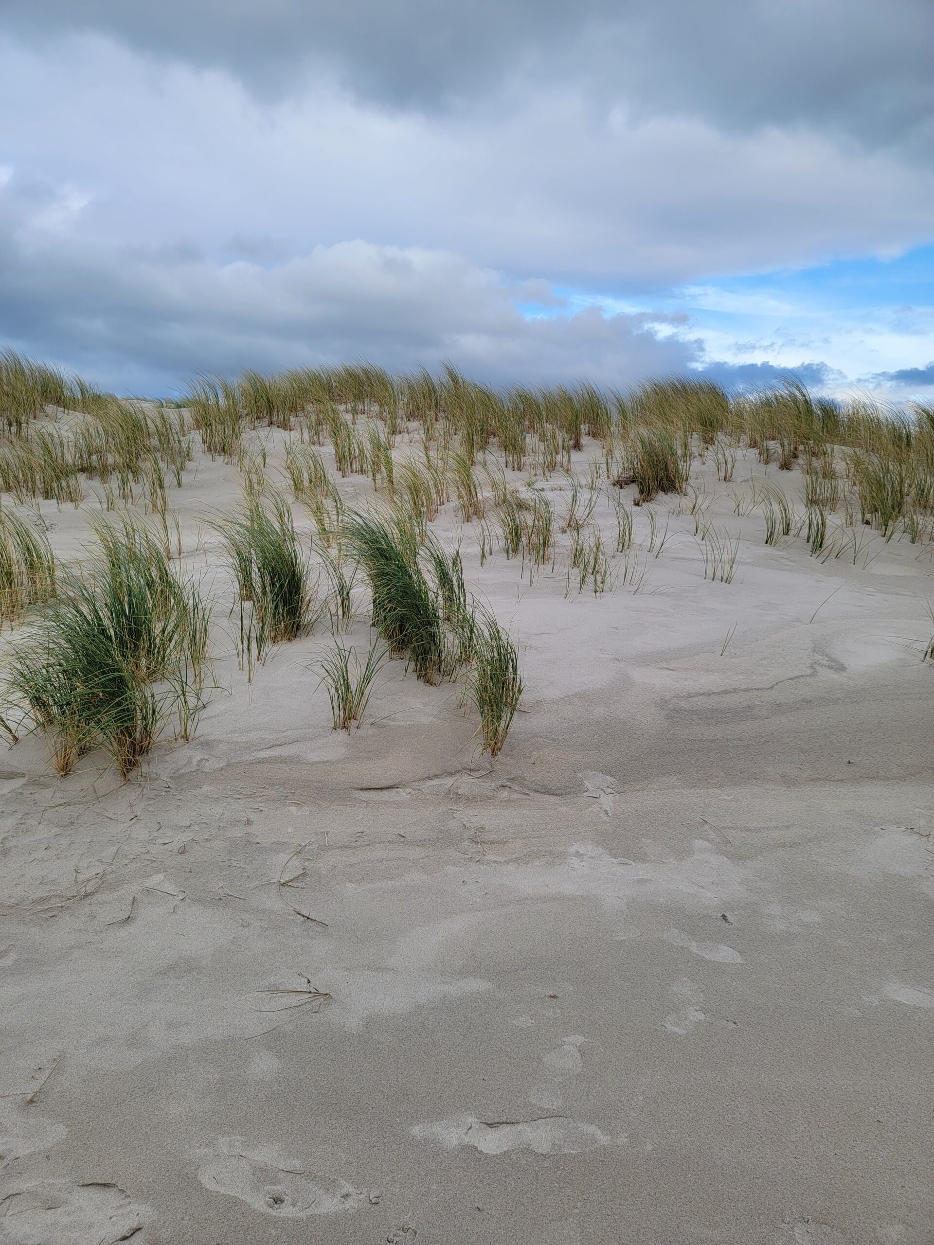
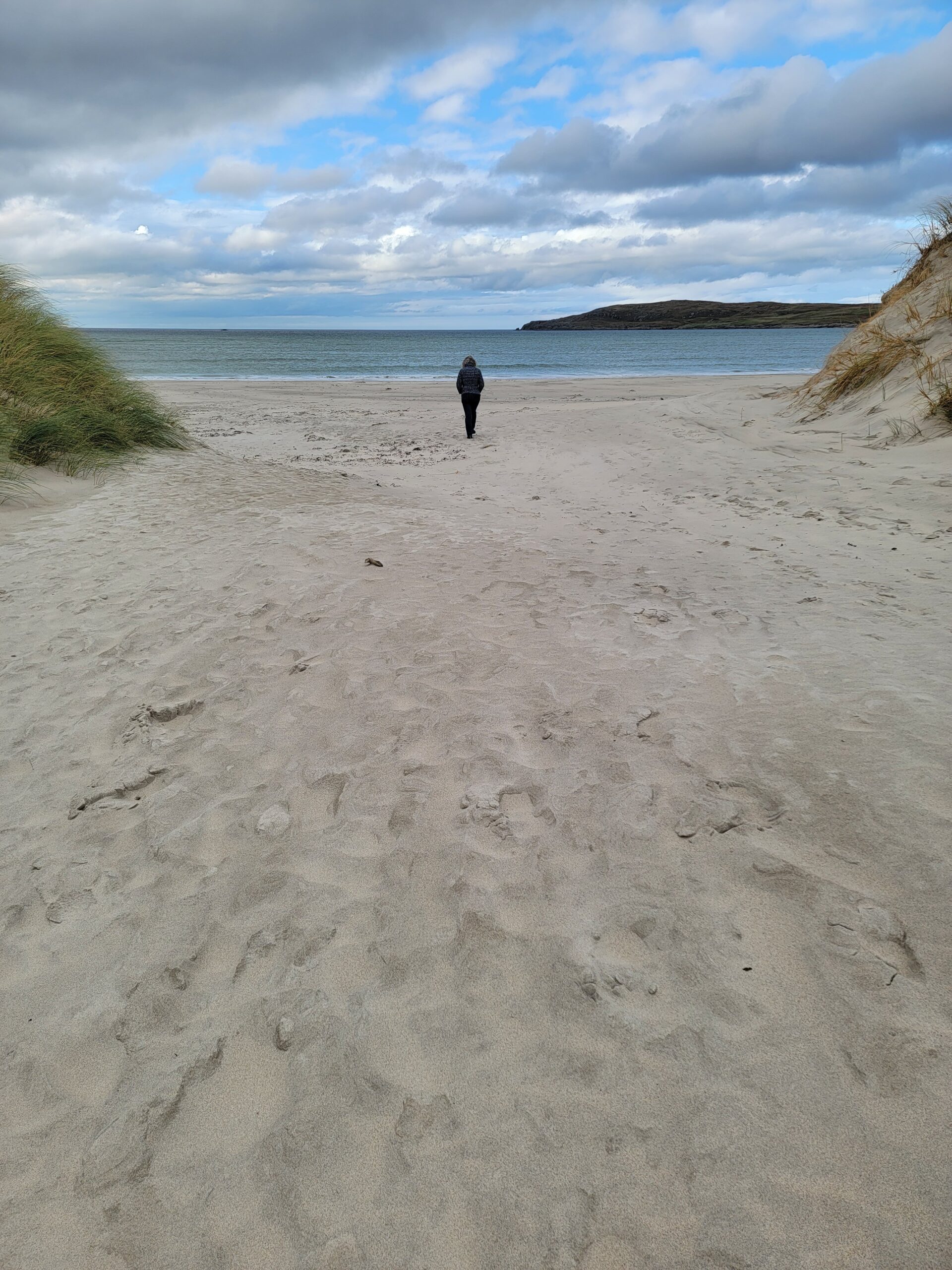
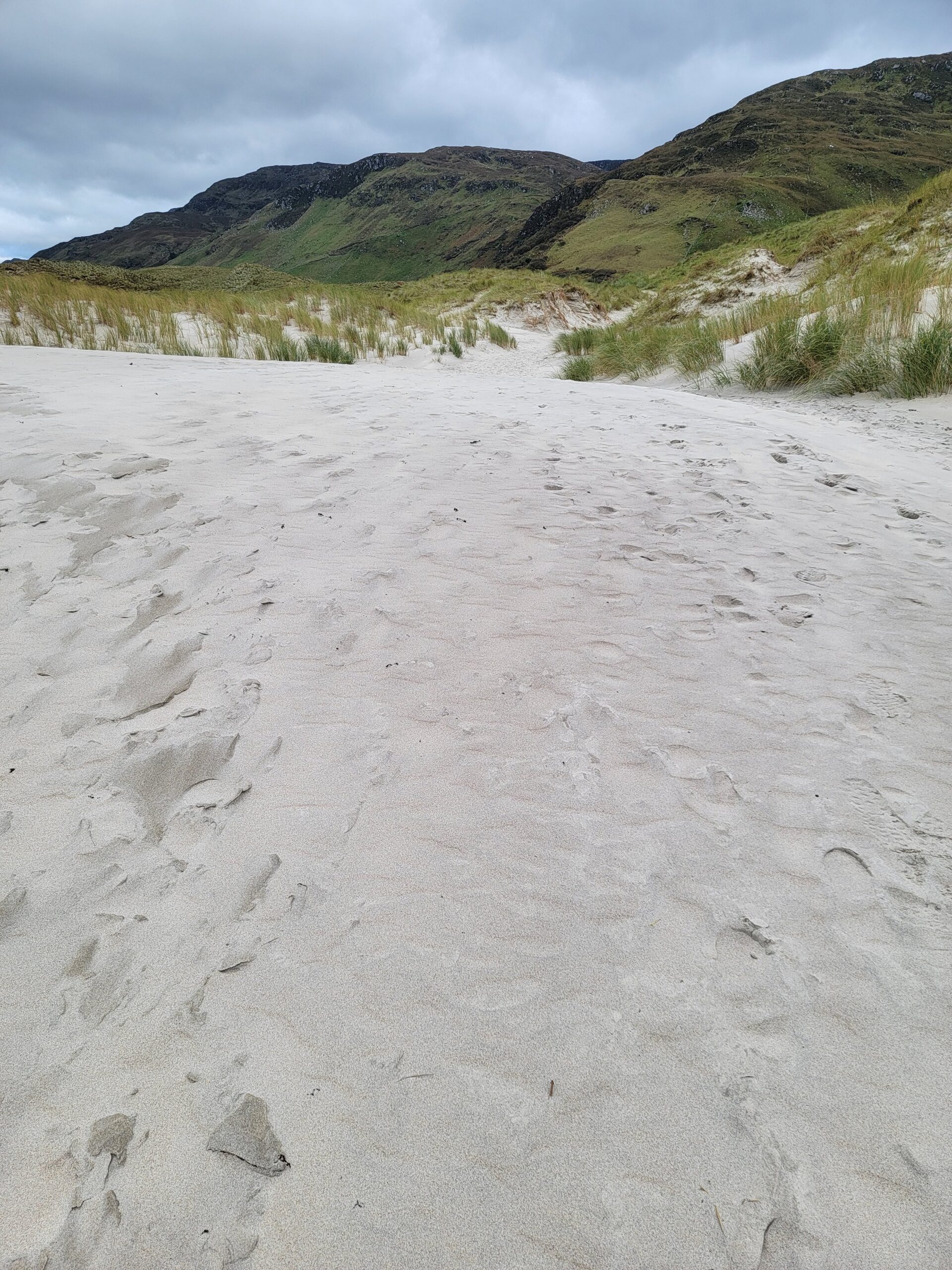
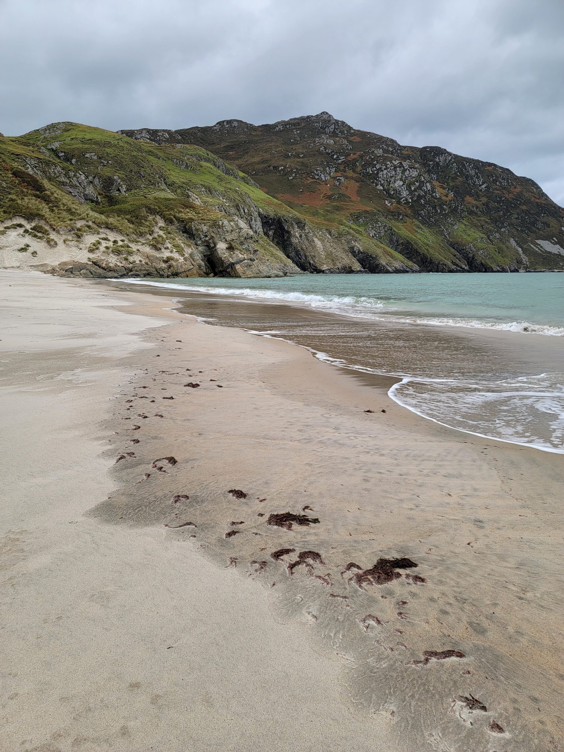
A very short drive away is Maghera Beach. We felt like we had walked through a portal to another country. This beach is like nothing else in Ireland! First the sand dunes.
Then the gorgeous entry to the beach. We had the entire place to ourselves. We kept waiting for Tom Hanks to come running out with Wilson!
This was some of the finest grain sand we have ever seen.
It could have been Hawaii, except for the fact it was in the 50’s.
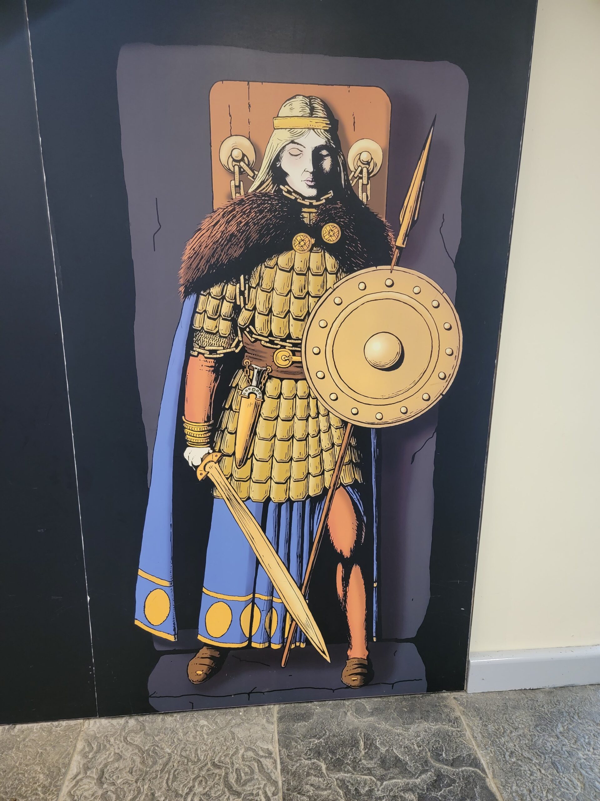
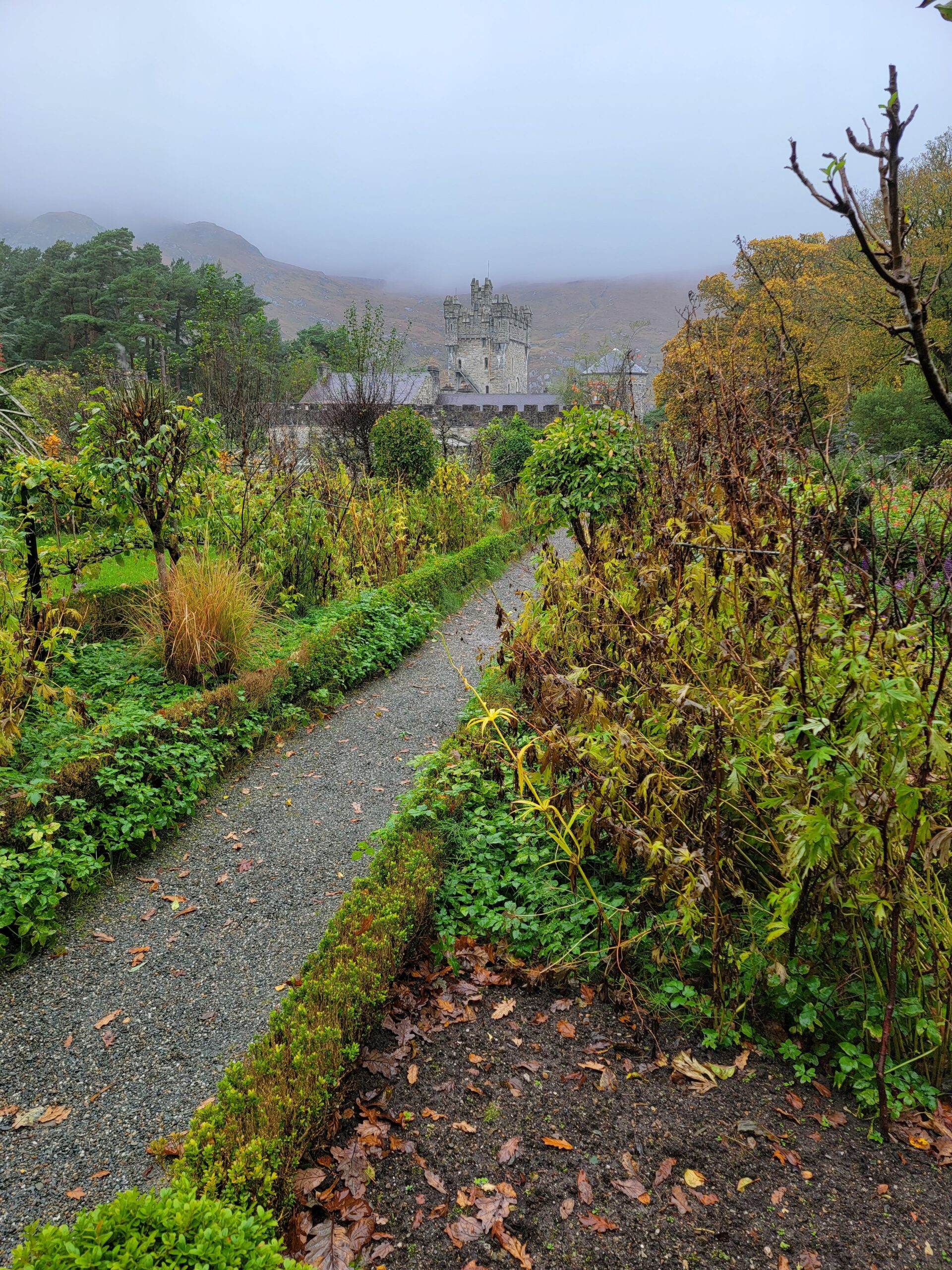
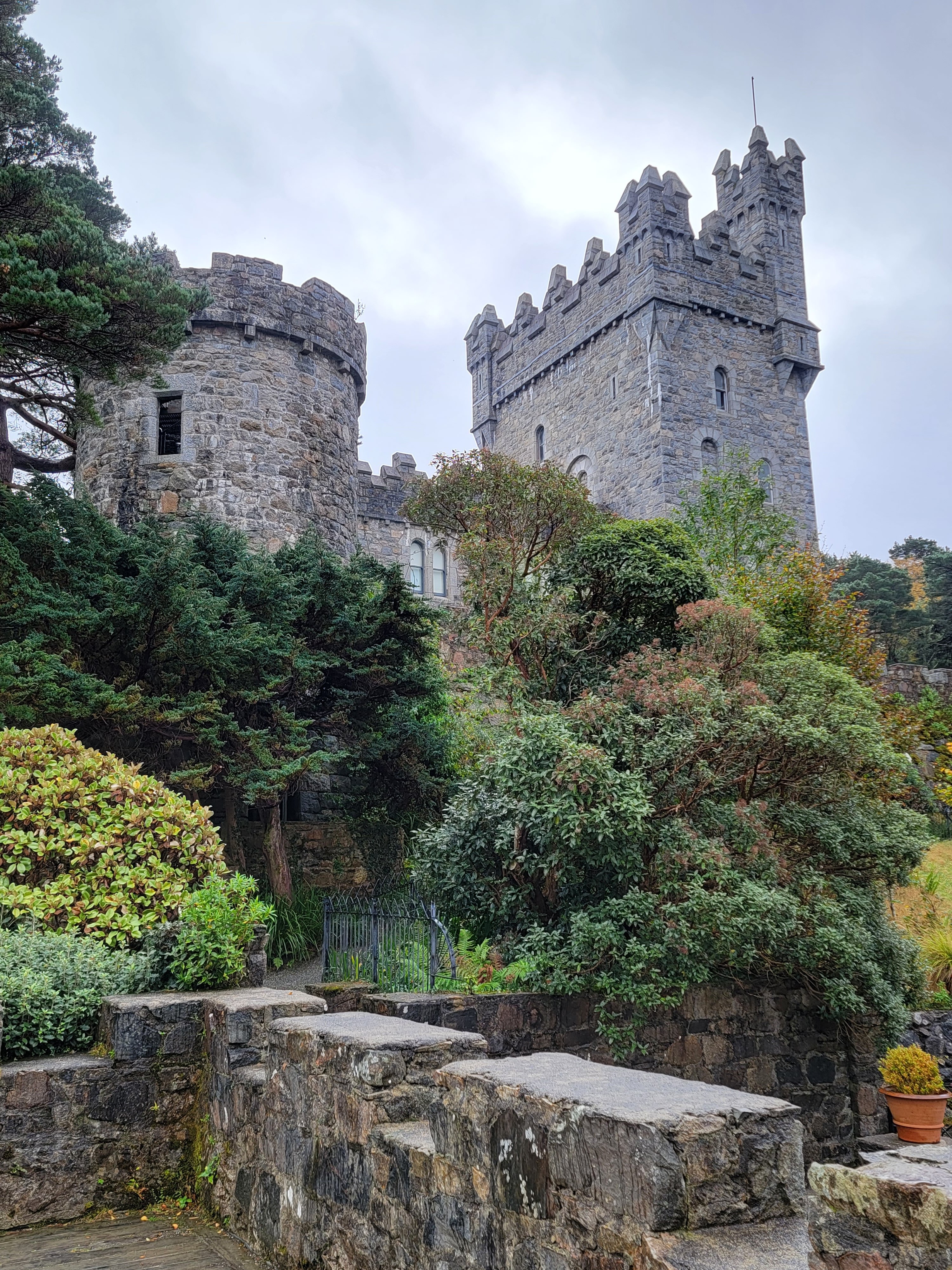
Our second day in County Donegal we met up with Kim’s Cousin’s Daughter’s Mother-in-Law (yeah, I can’t figure it out either), Anne Hart, who lives in the northwest corner of the county in Dunfanaghy. She took us on a tour of her neck of the woods. It was raining, so our first stop was mostly indoors Glenveagh Castle, within Glenveagh National Park.
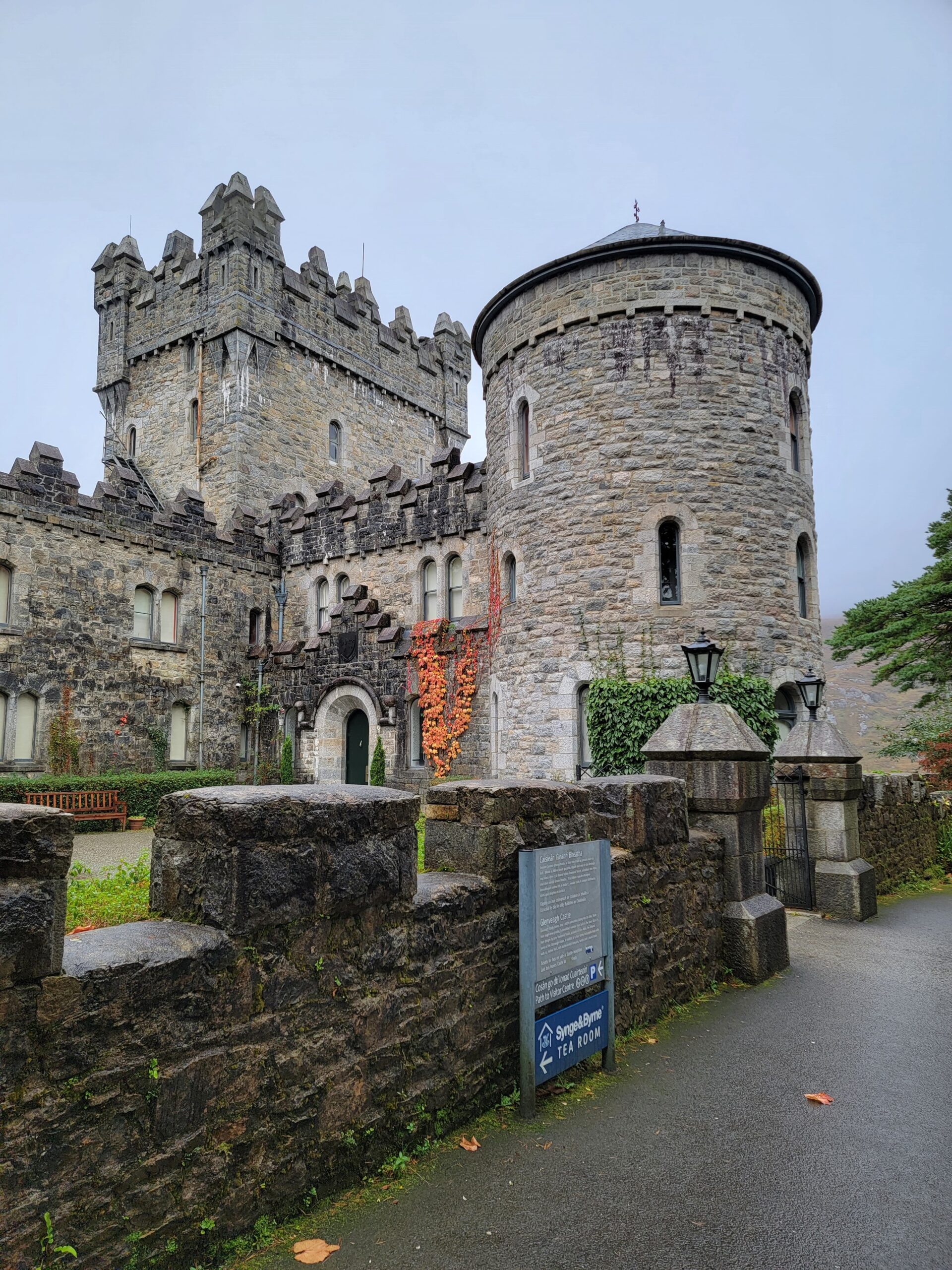
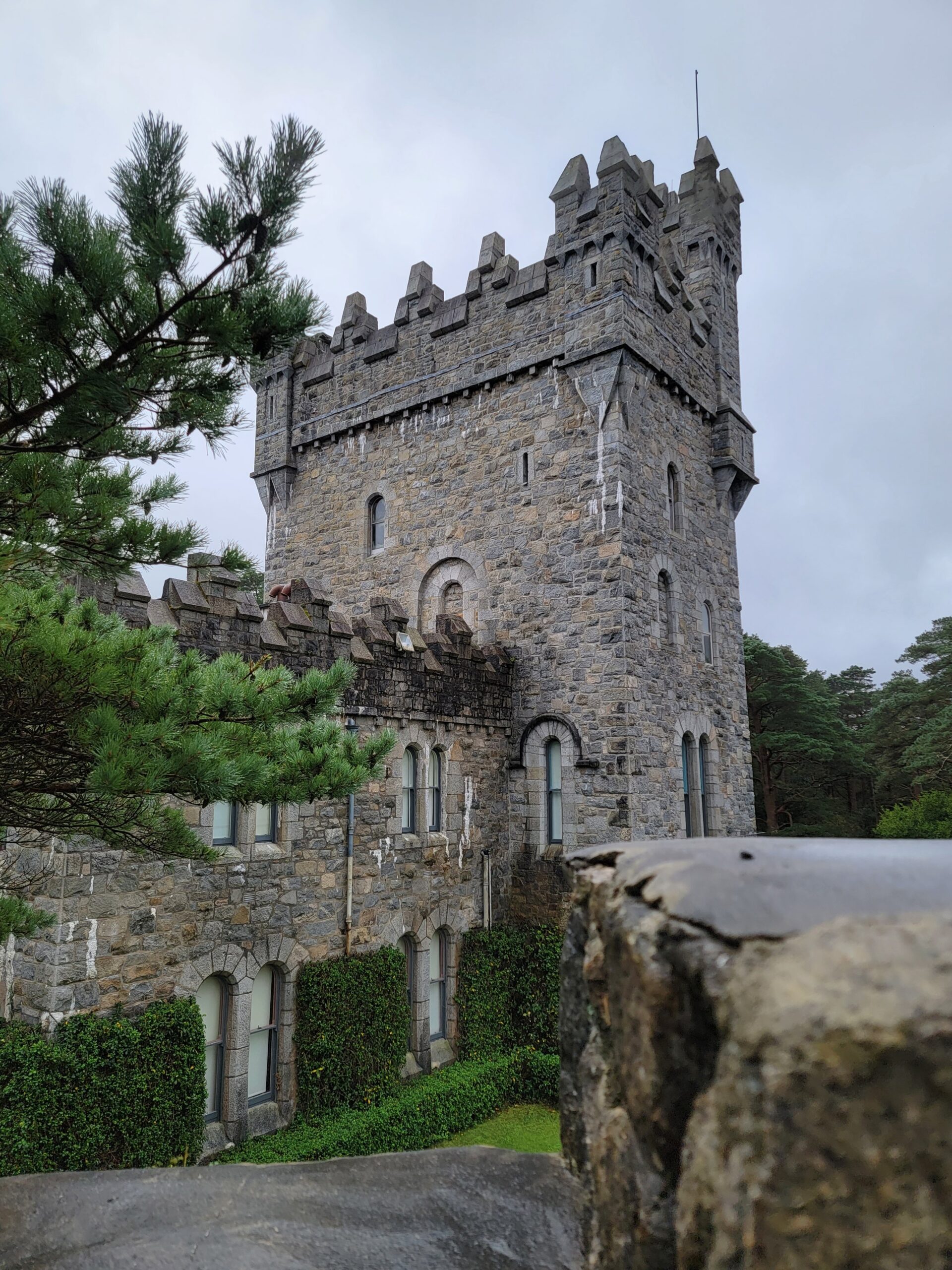
This castle was built between 1867 and 1873, so it’s not really all that old by Irish standards. It was built by Irishman John Adair, who made his fortune off of land speculation in the US, then came back to Ireland and bought up the land adjacent to Lough Beagh. He built extensive gardens on the estate, as he wanted to rival Balmoral, Queen Victoria’s Scottish summer home.
It turns out Adair was notoriously cruel, evicting tenants off his land simply to improve the aesthetics of the place. This infamous event became known in Donegal County as the “Derryveagh Evictions”. In all he evicted 44 familes for a total of 244 people.
The local folklore is that one of those evicted placed a curse on the castle, so that none of the families who ever lived there would have an heir. I don’t know which came first, the story of the curse or the families, but the three couples who lived here never had children.
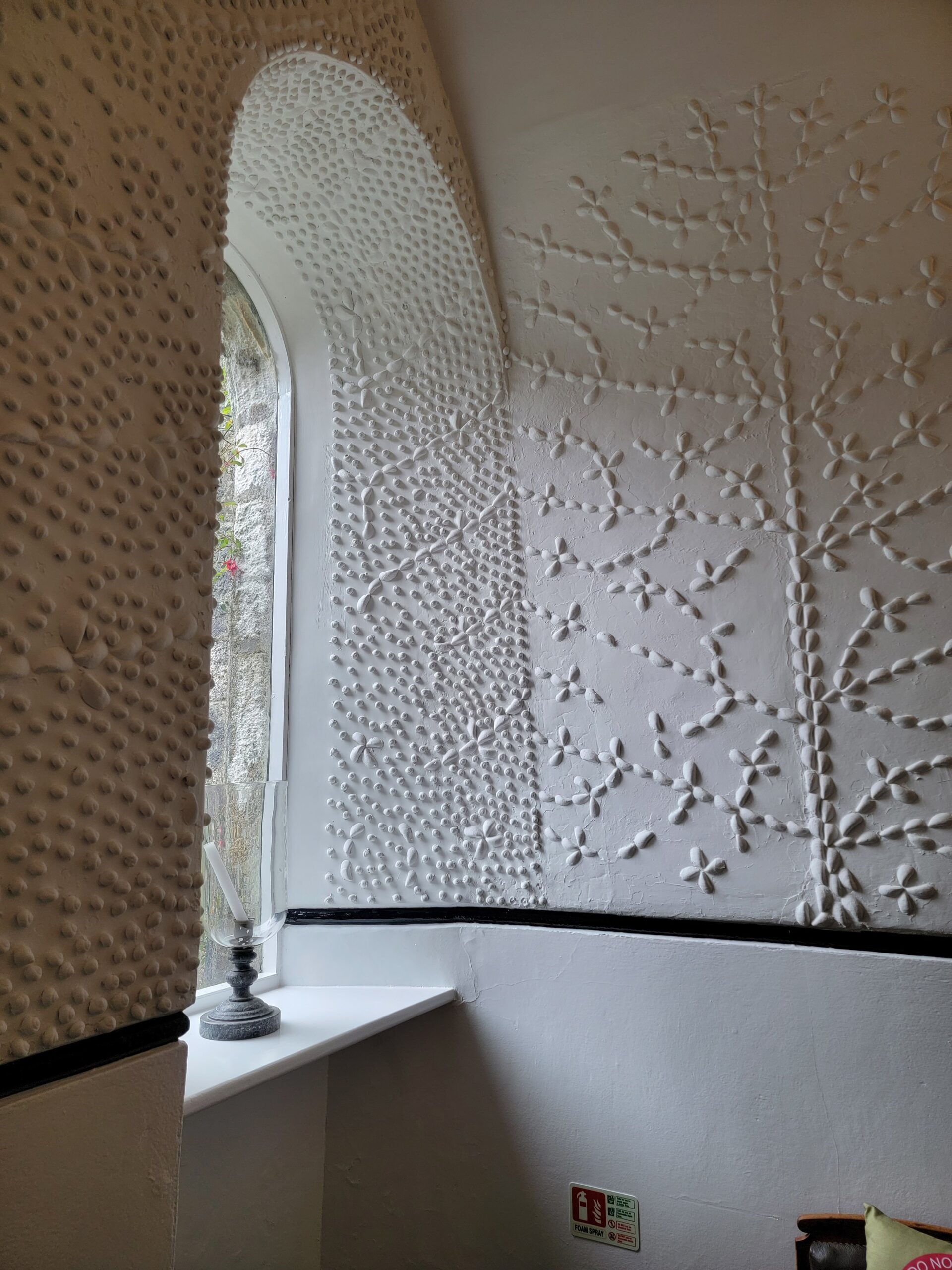
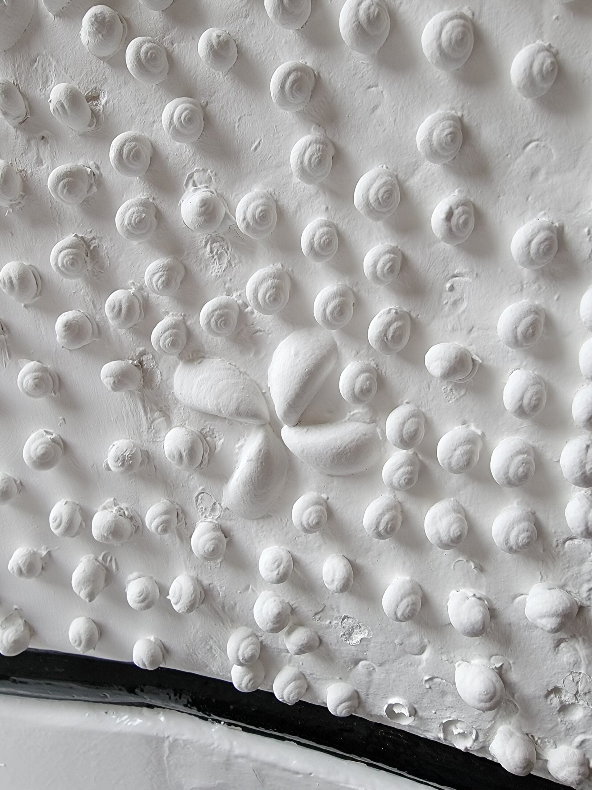
We took a guided tour of the interior, which I highly suggest. We first saw the public entryway, decorated in shells collected from local beaches.
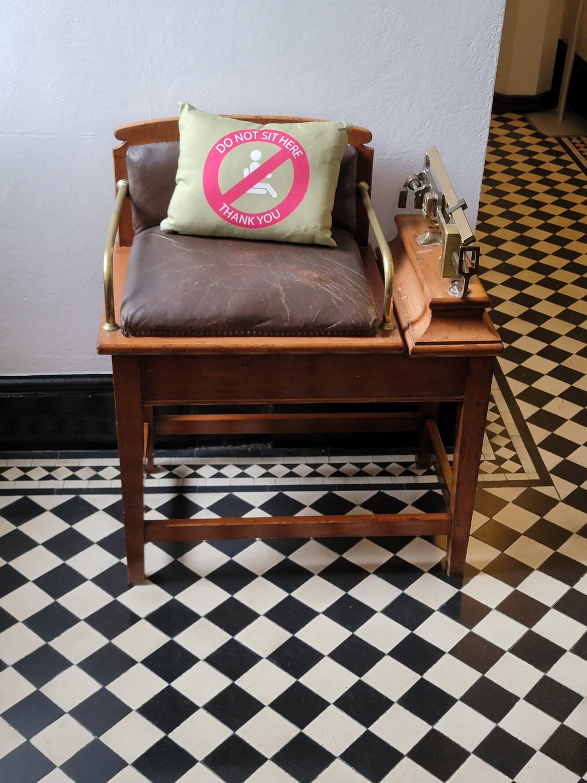
Inside the entryway is a chair that was meant to weigh jockeys for horse racing. Food was a huge part of visiting the castle, and it is said that the owner weighed his guests on arrival and departure to see if they had gained any weight.
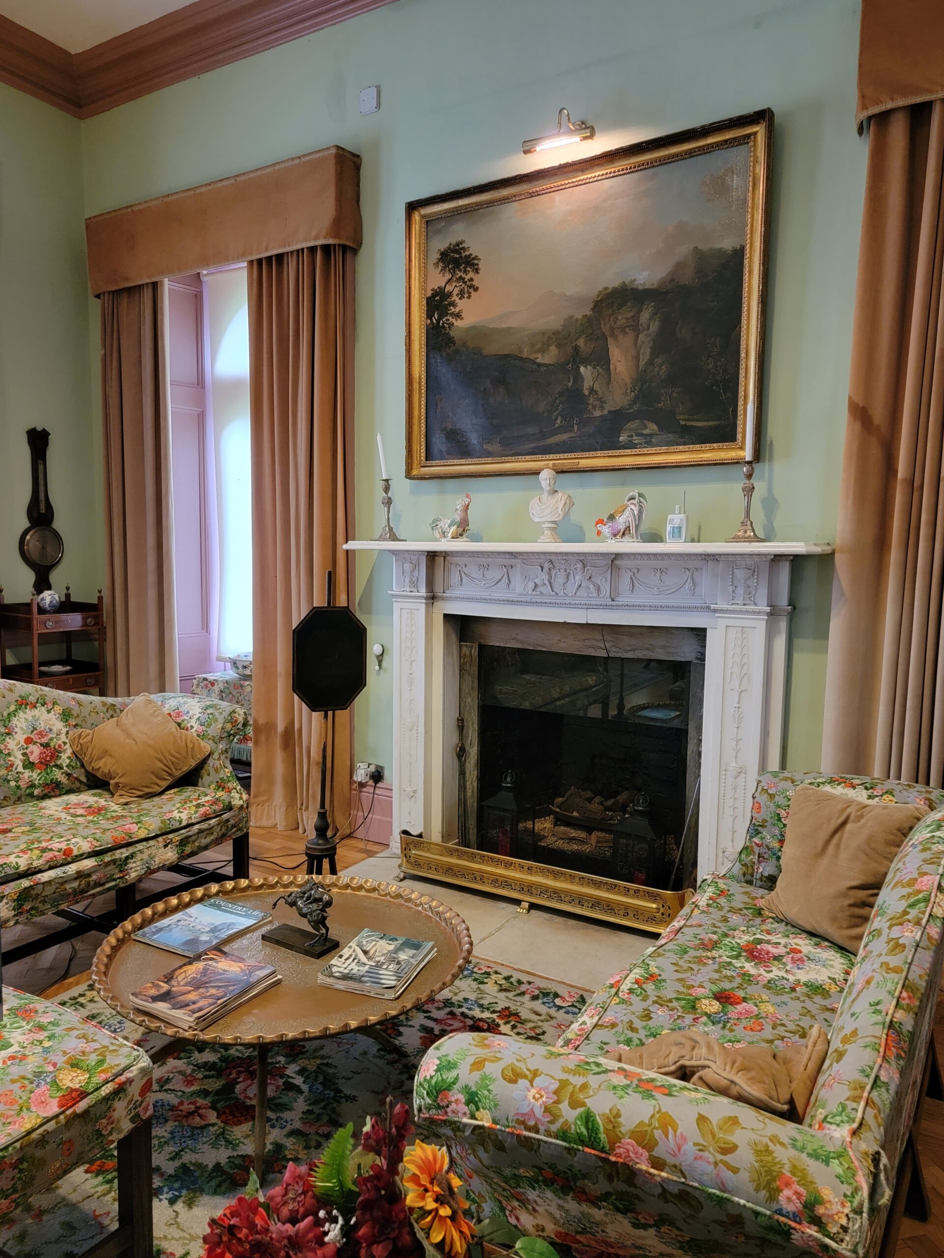
This would have made an excellent hotel!
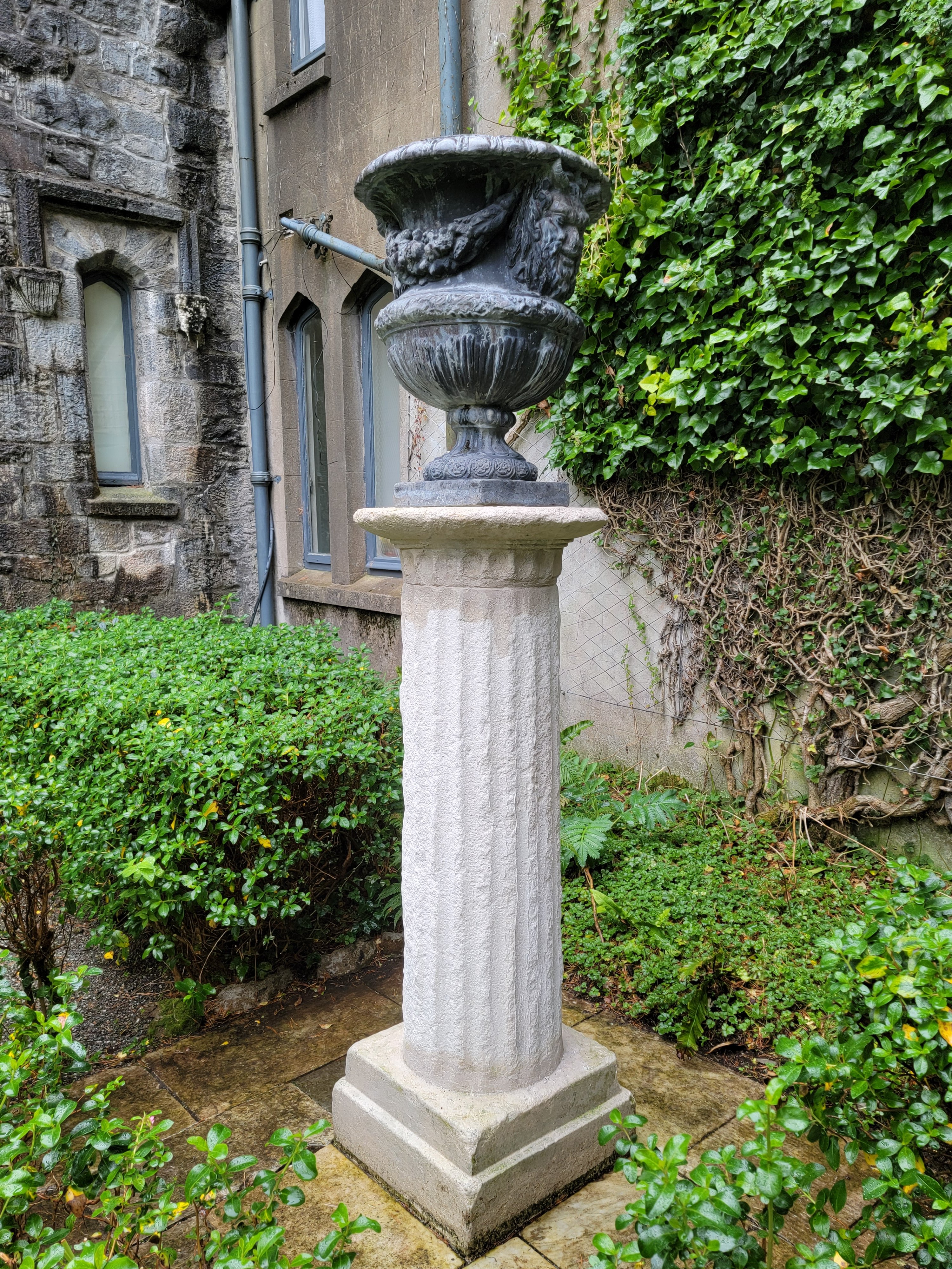
The second owner, Harvard University Professor Arthur Porter was an avid art collector. The property was turned over to the Irish people in the 1970’s, but they have only recently discovered the value of many works of art. The below Roman column was thought to be a reproduction, but it’s actually from Rome, something Arthur purchased while he was visiting in the early 1930’s.
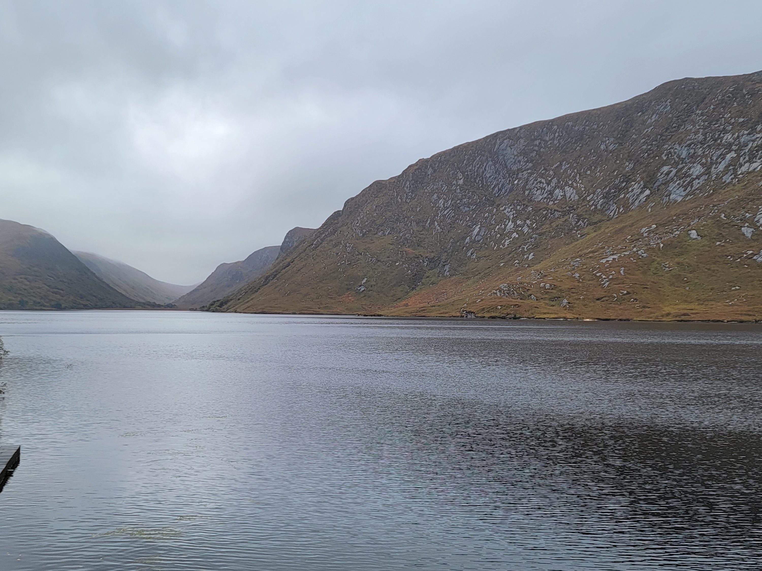
The view from the edge of Lough Beagh is excellent. I can see why the asshole John Adair bought up the land in this spot!
One last shot of the castle from the shoreline.
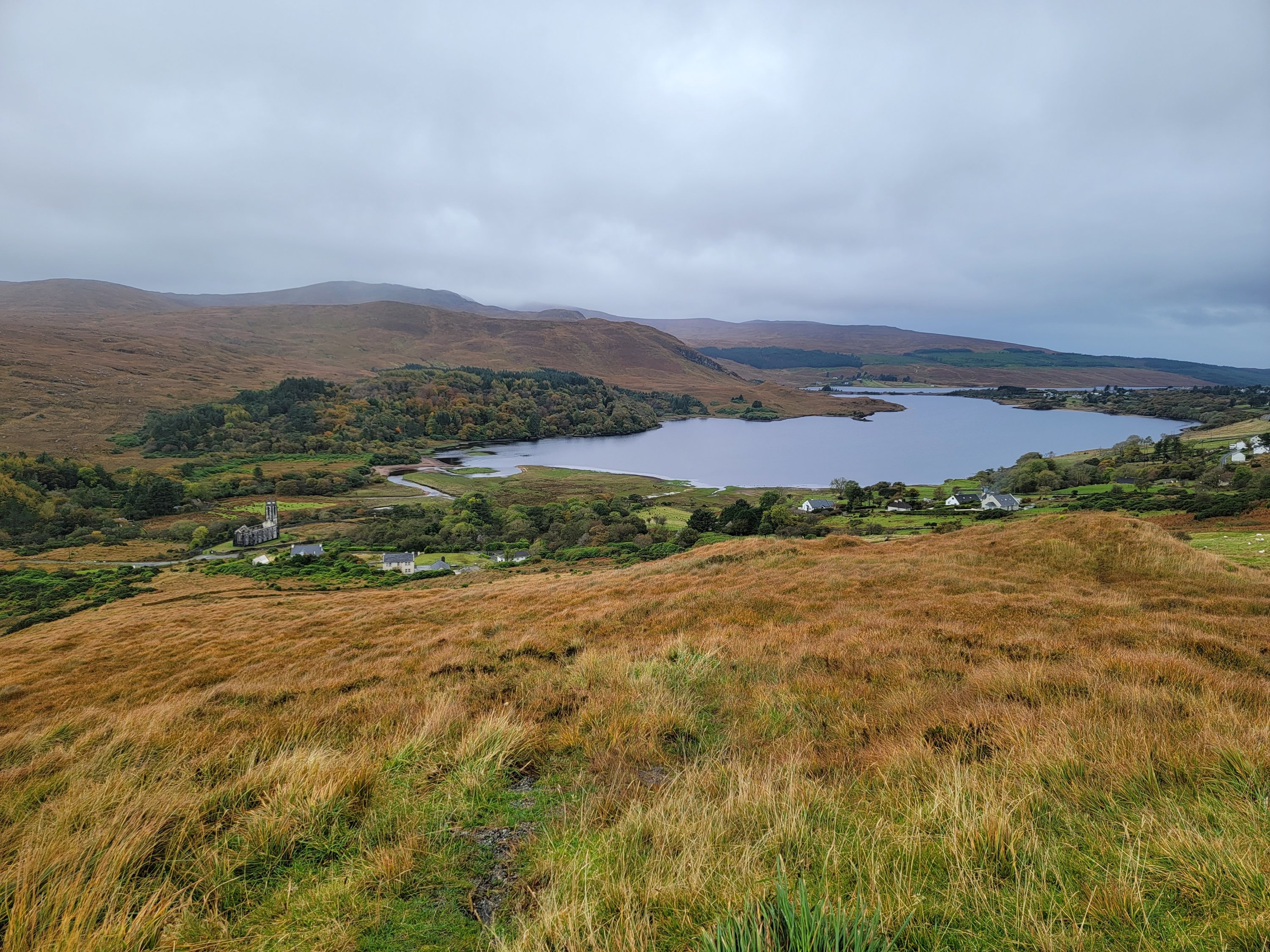
Ann took us to what would be a perfect picnic spot…in the summer time. So beautiful!
Our last adventure was on a VERY narrow road to a lookout of Horn Head.
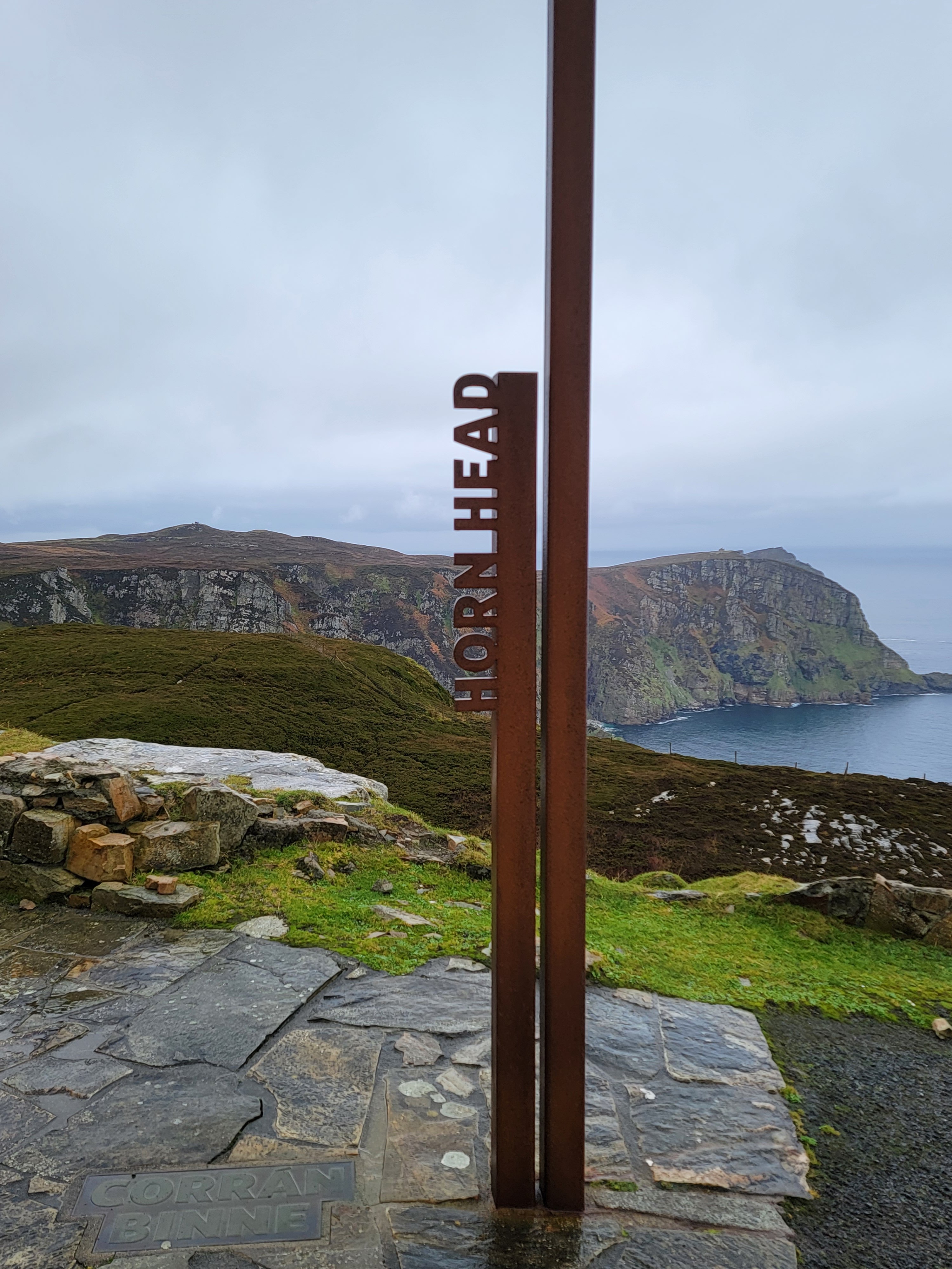
If you look at the far right of the peninsula, you can see a protrusion that looks a lot like a horn. I think it’s a matter of perspective. I looked at this from another spot Anne took us to and with my binoculars it looked like the peninsula had devils horns. That’s my story and I’m sticking to it!
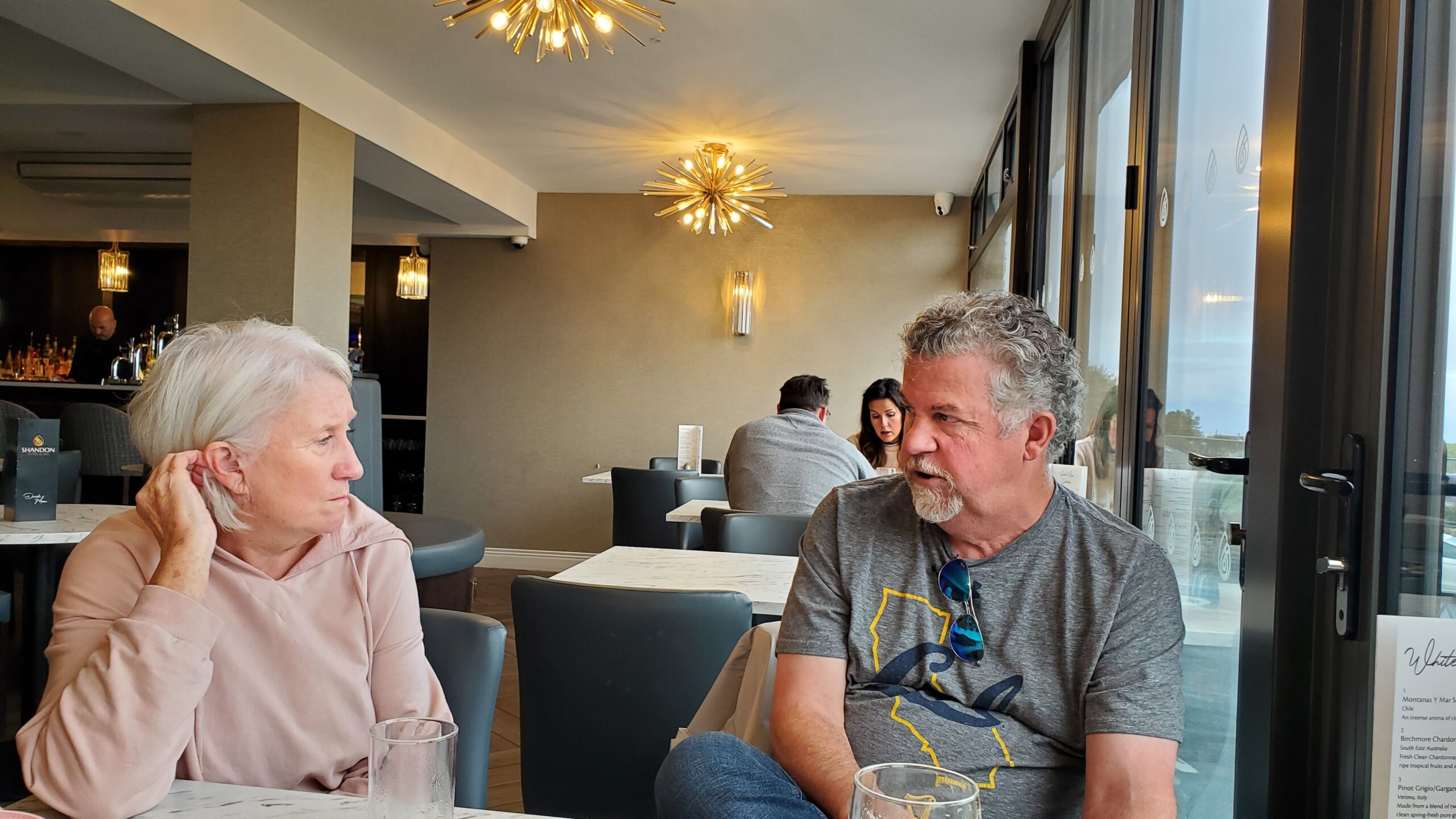
Our last stop was for a pint at Shandon Hotel. Likely an ideal hotel for us if we ever make the Ireland trip again! Here I am discussing the finer points of planning out every detail of a 6 week trip 4 months in advance. Anne is trying to stay awake for the upcoming drive.
Despite her drowsiness from the discussion, Anne dropped us off successfully, and we got a photo with her and Kim.
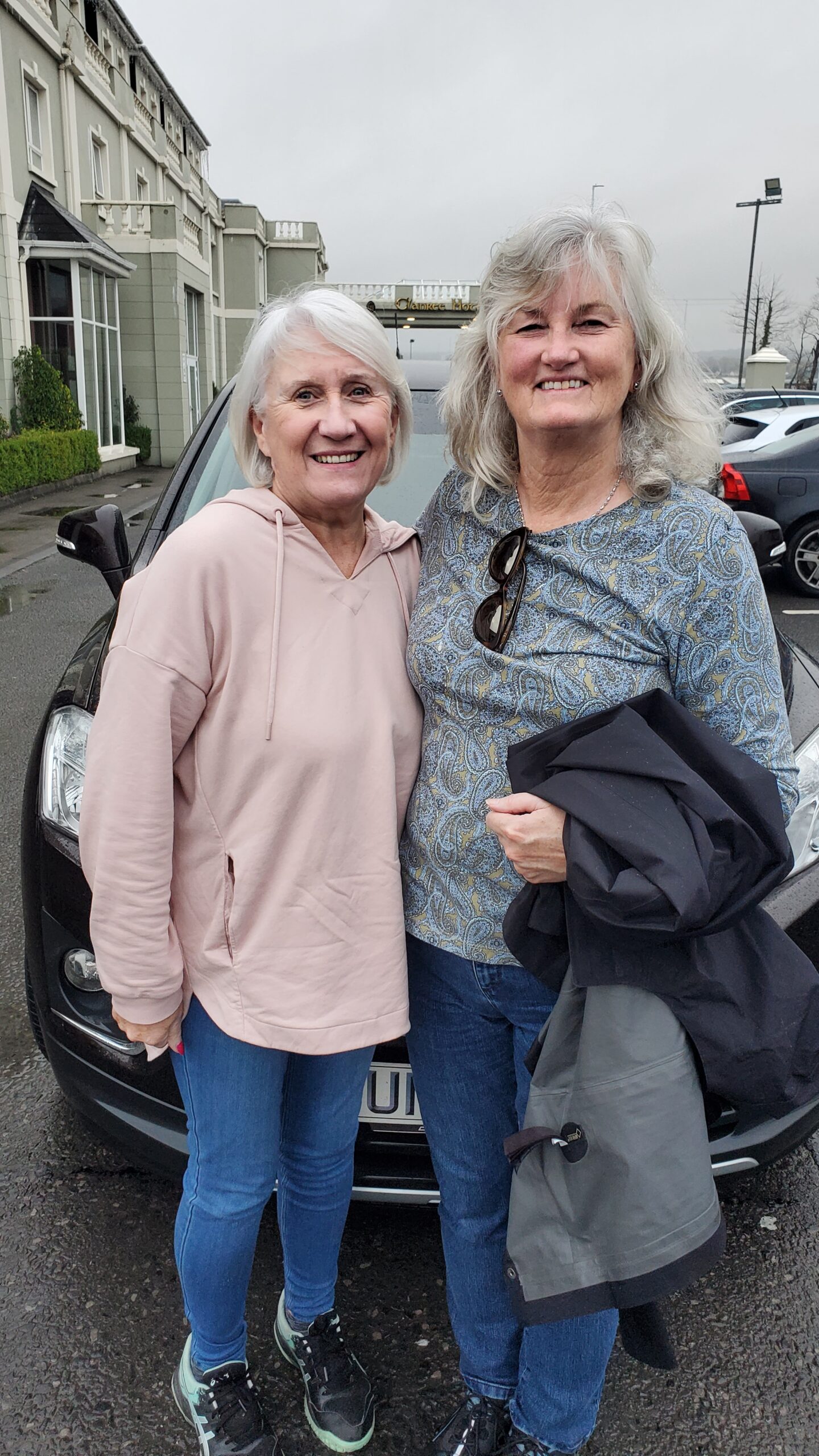
Thanks for the great tour Anne! It was great meeting you! Up next, we head to The Giant’s Causeway, and then Belfast.