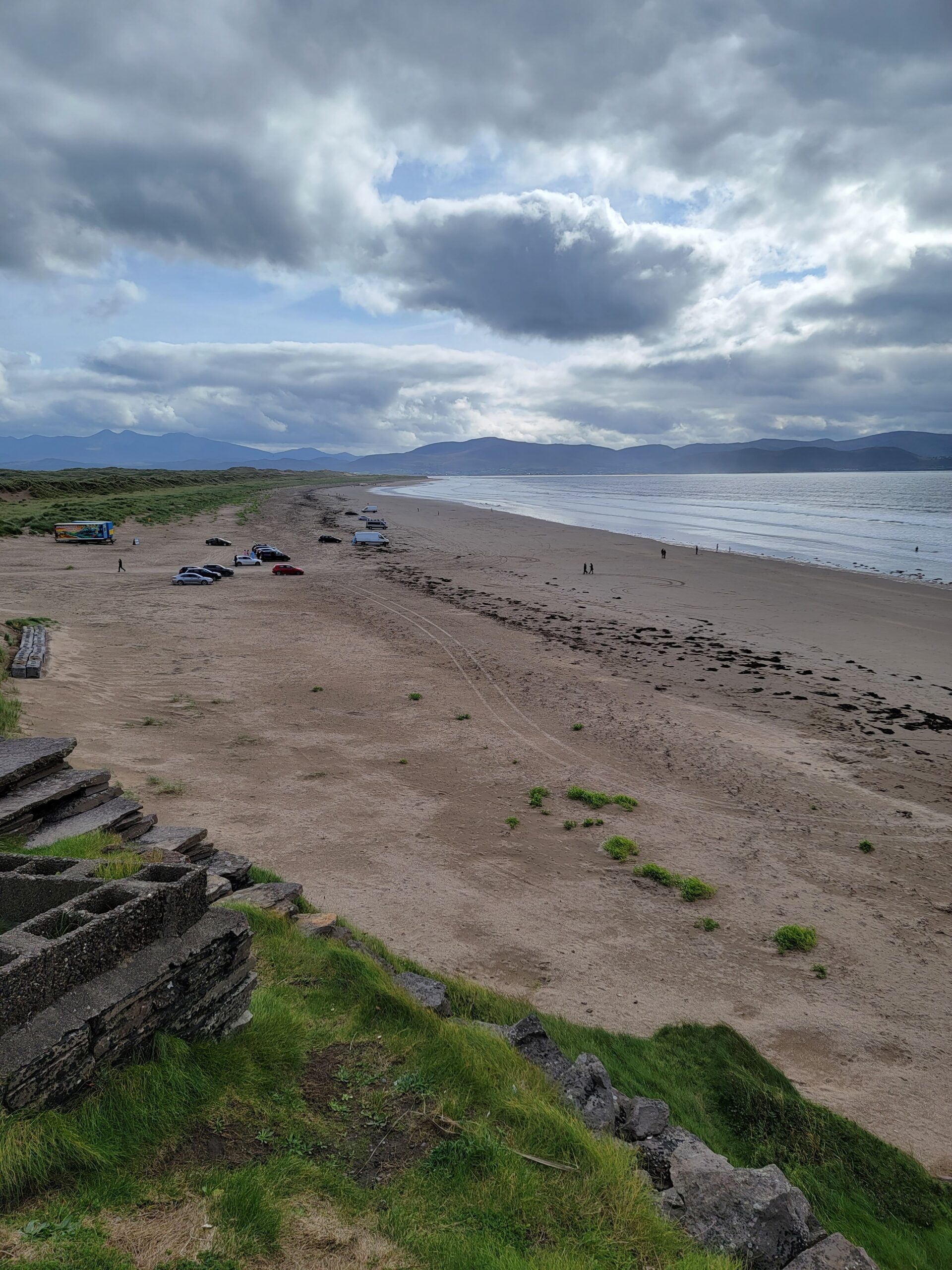
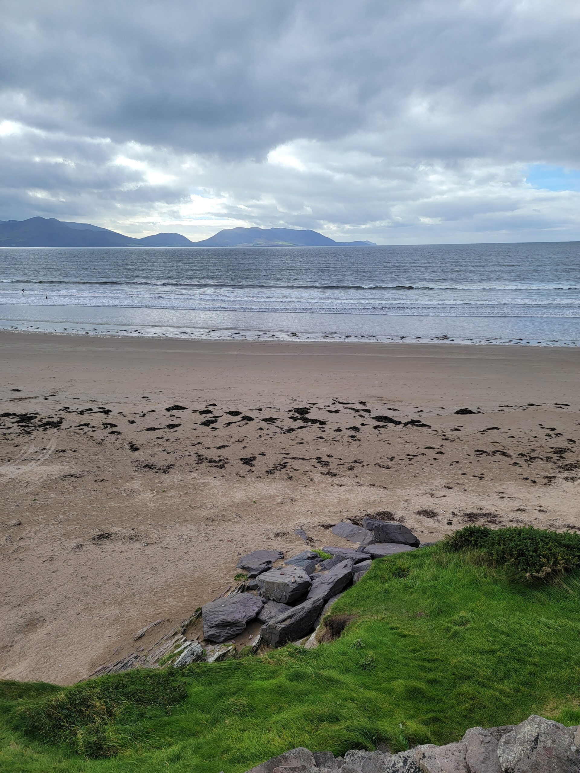
On our way to Dingle we stopped at Inch Beach, a very long beach that allows cars to drive on the sand. The sand is extremely compacted, so I can see why it’s not an issue.
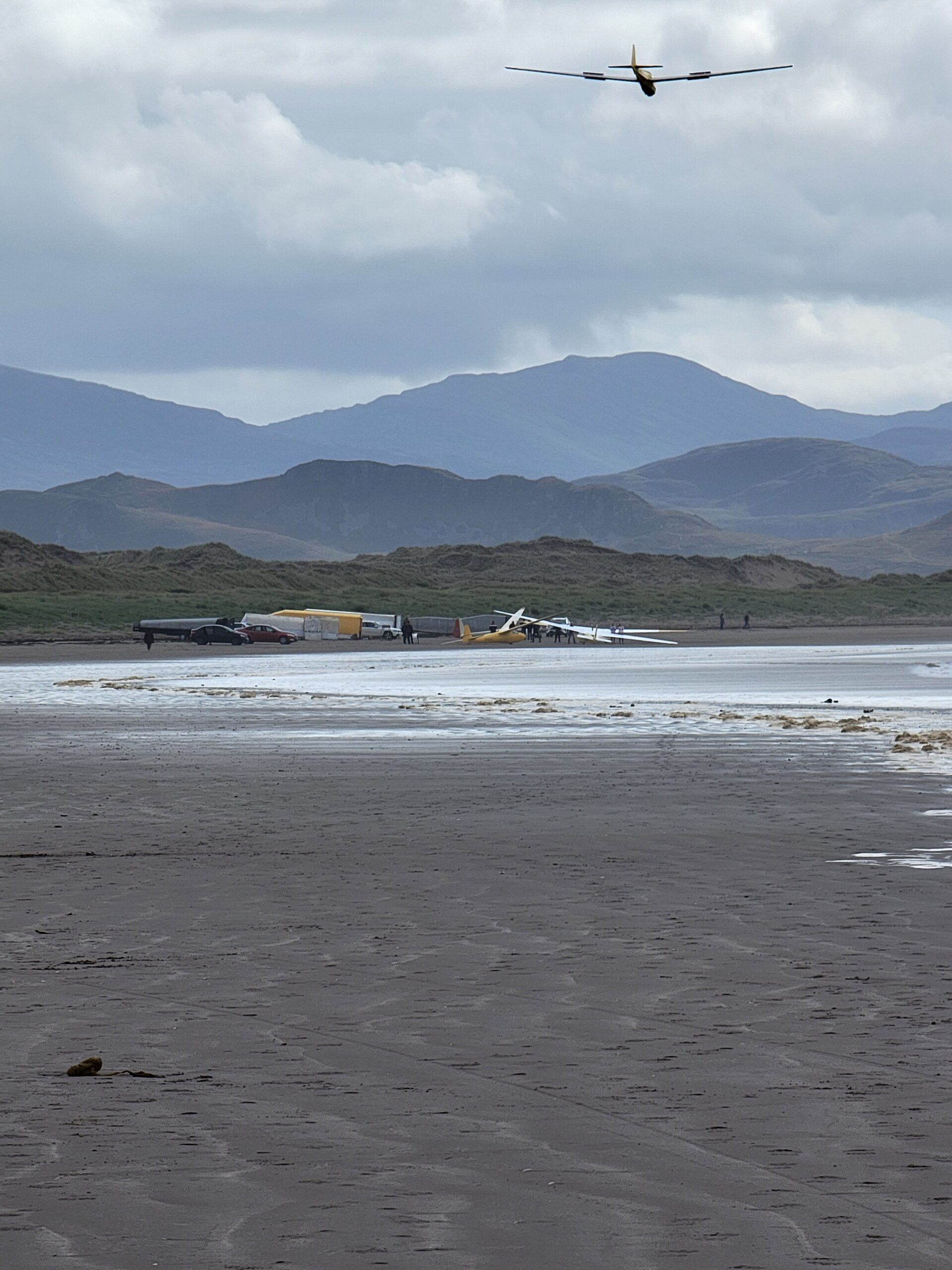
While walking on the beach we could see a glider circling overhead. It eventually landed on the beach.
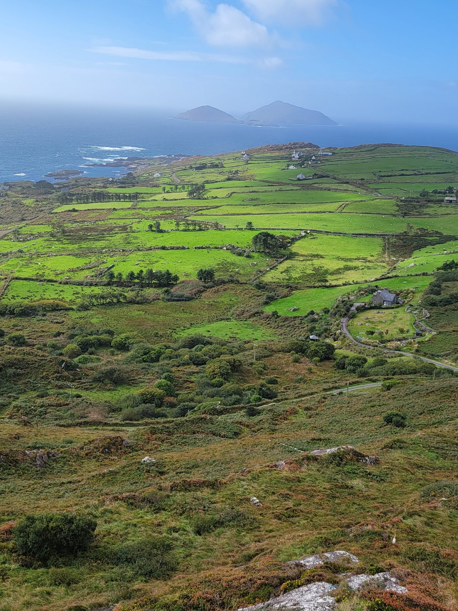
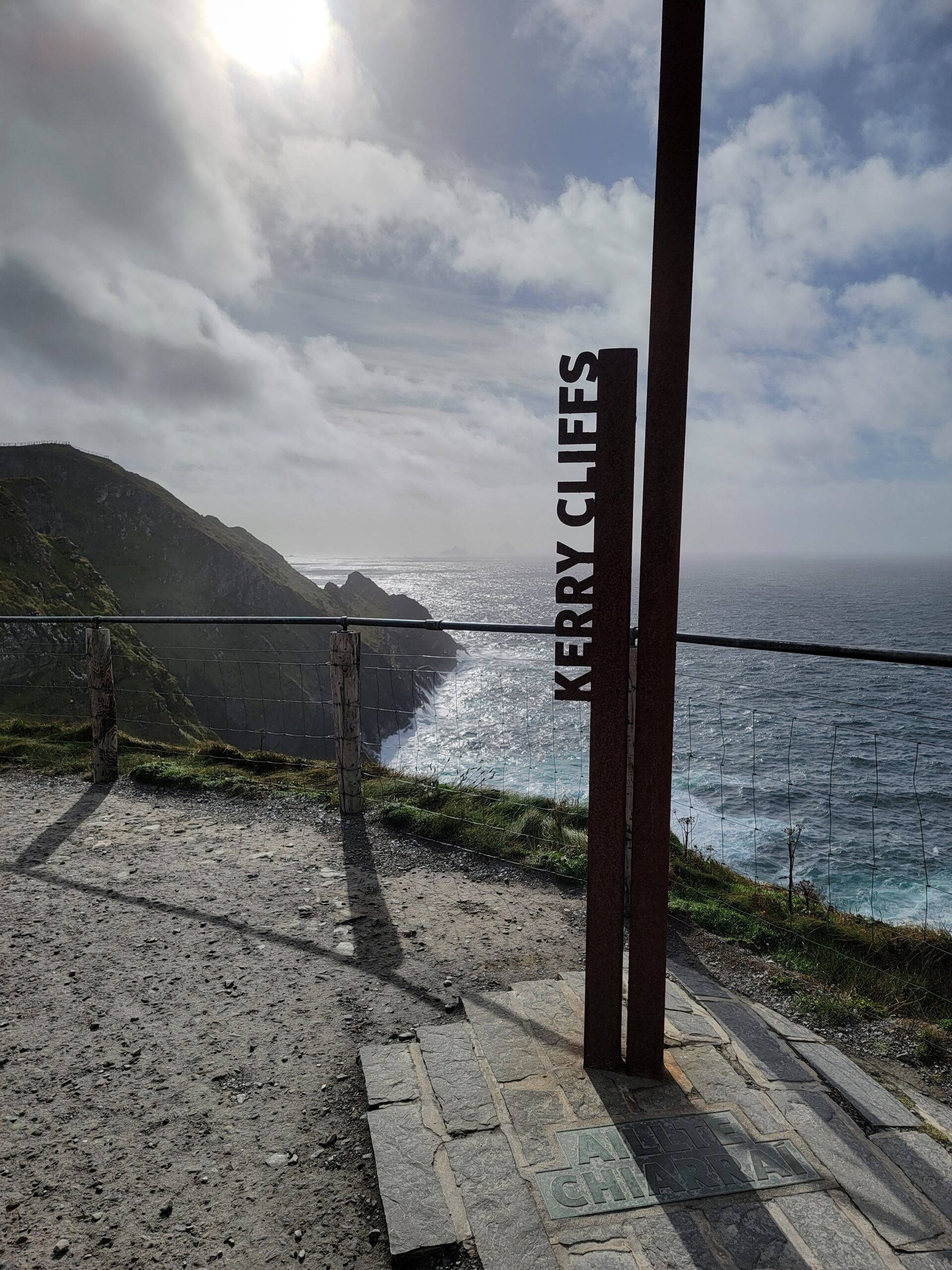
That’s the Ring of Kerry area on the opposite shore.
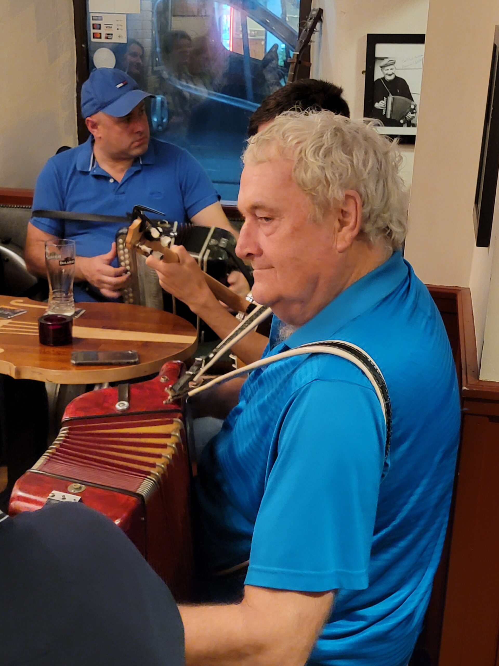
Our first night in Dingle we found some traditional music. Whenever the music is playing these bars get jam packed, so find a seat early on!
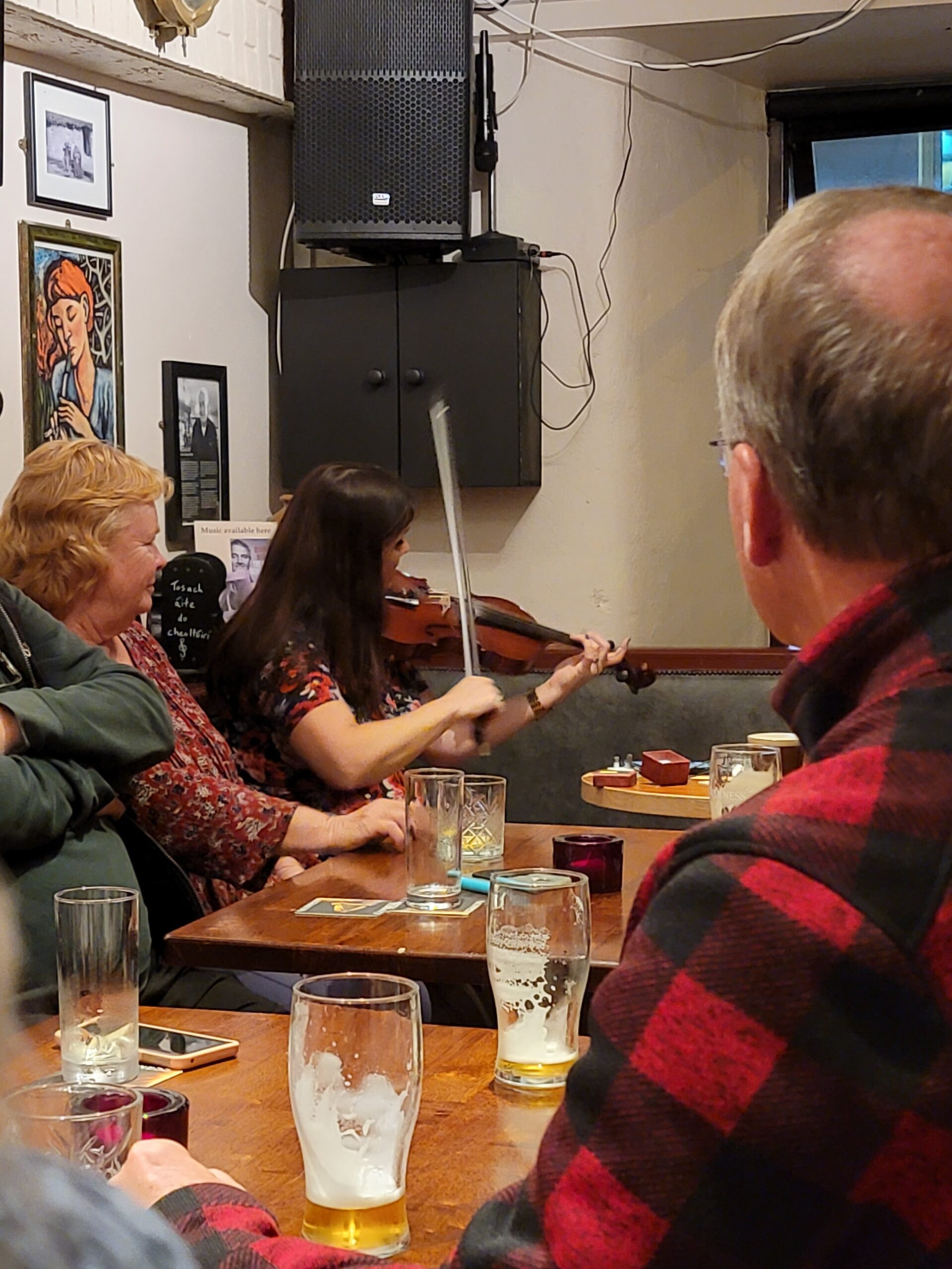
A rather famous Irish musician, Seamus Begley, walked in and joined the band for a few songs. He even stopped and chatted with us for a few. Everybody in Ireland is so damn friendly!
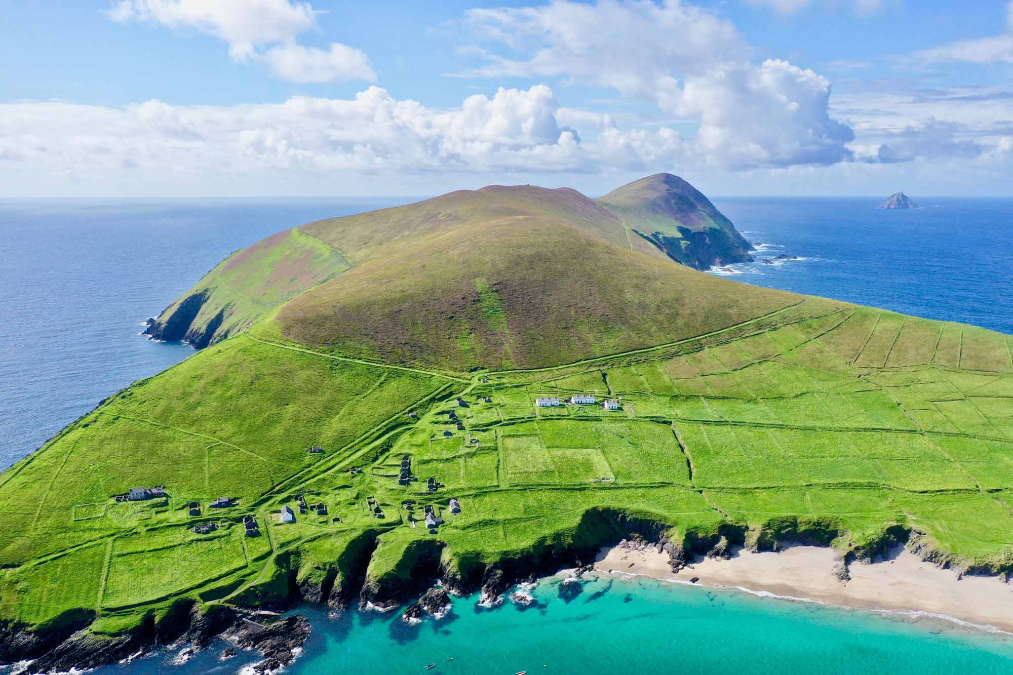
Our first day in Dingle was met by rainfall, a lot of it, so we ventured to The Great Blasket Centre. This is an excellent, recently renovated museum that focuses on the small community that existed on the nearby Blasket Islands.
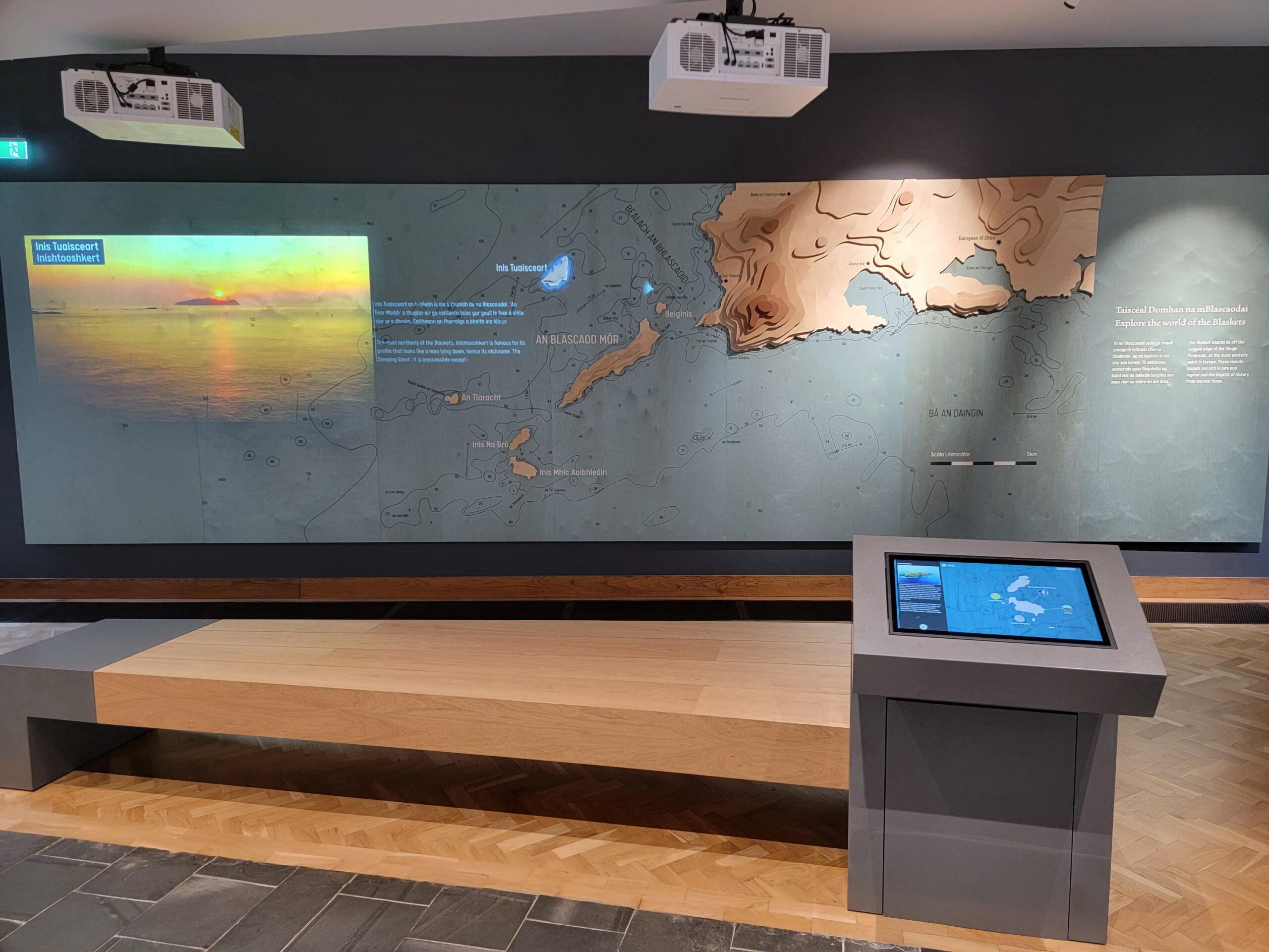
There are six Blasket Islands, but only Great Blasket was ever inhabited. At it’s peak, in 1930, the community consisted of 180 people. Over the years, more and more of the younger islanders left for America. By 1954 there was only one family remaining, and they couldn’t sustain themselves on the island any longer. The island has been uninhabited since then. Here is a recent aerial view.
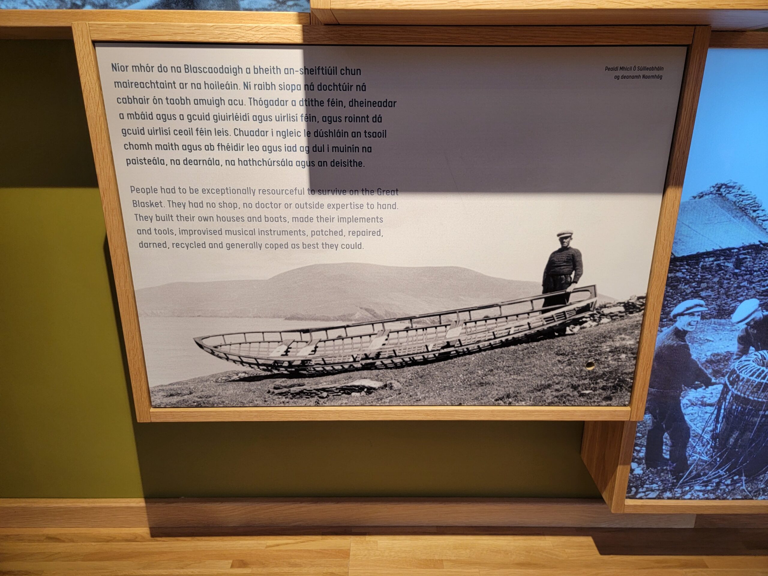
The island is well known for the prolific number of Irish language books that were written by it’s inhabitants. Anthropologists and linguists spent a lot of time on the island in the late 19th and early 20th centuries since the communities Irish dialect was so original and pure. A lot of Irish folklore was also captured by residents of the island, since their only pastime was telling stories, along with music and dancing. They were incredibly self reliant, even building their own boats.
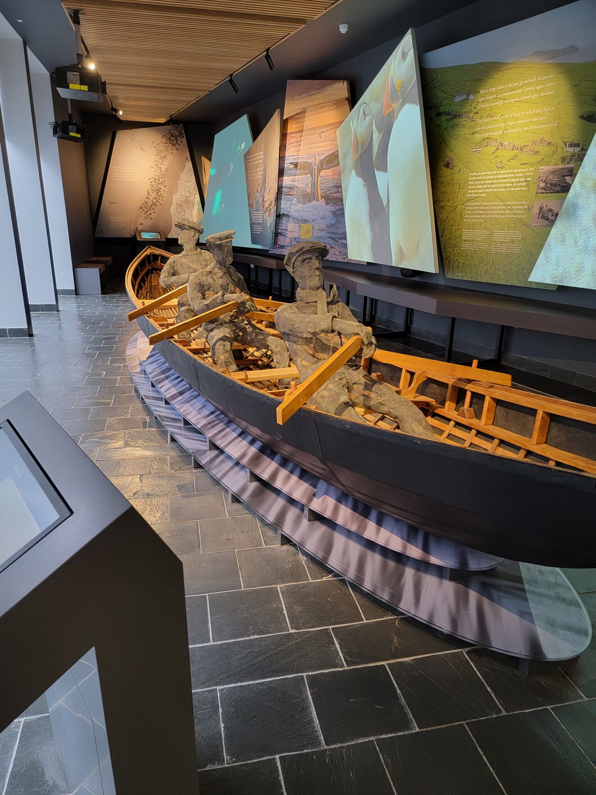
Here is a depiction of one of their boats in the museum. The wire frame people rowing the boat are pretty cool, although those oars don’t look particularly effective.
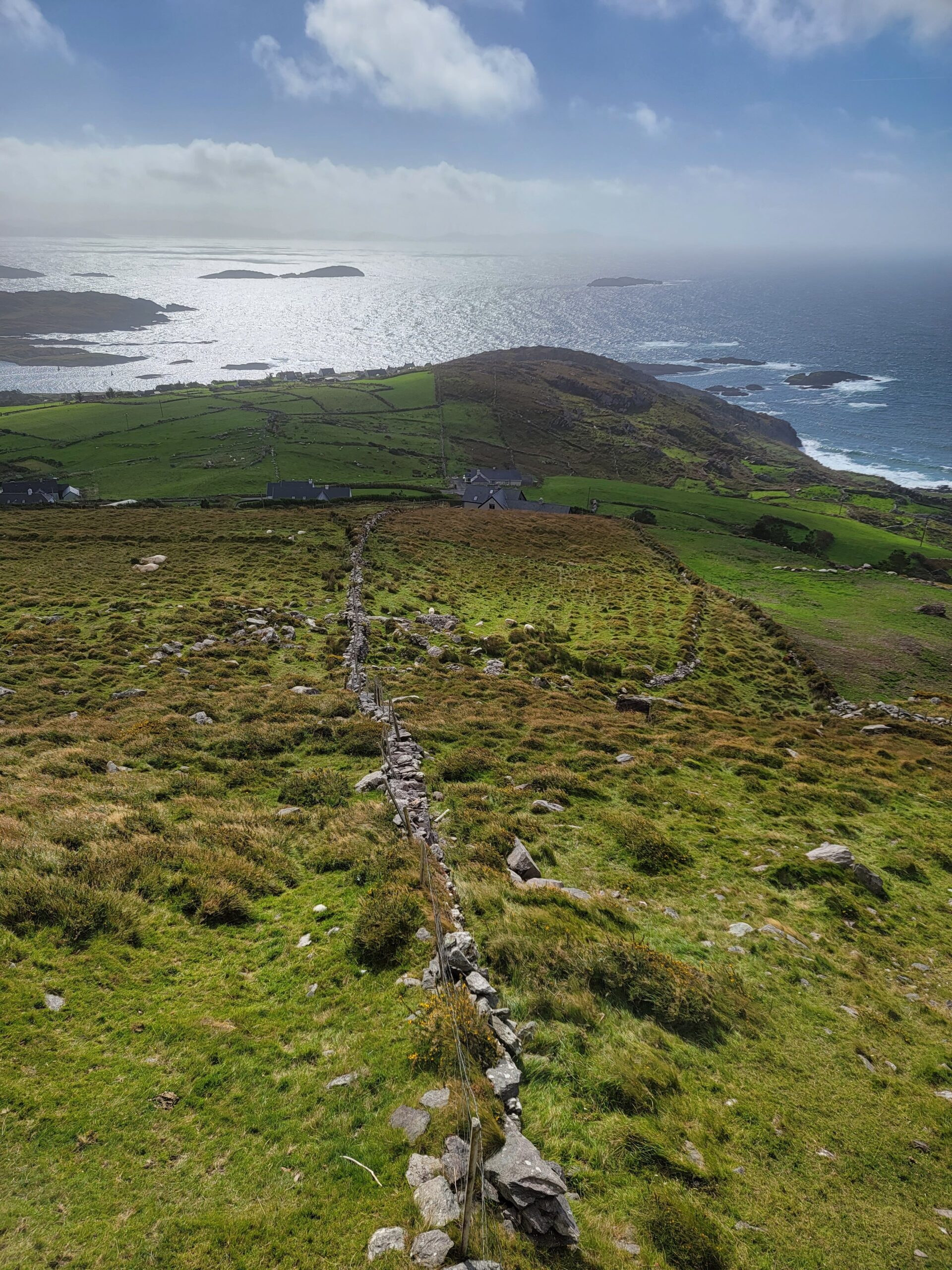
The next day we were blessed by excellent weather, so we made our way outdoors. First stop was Eask Tower, located across Dingle Bay at the top of a 600 foot hill.
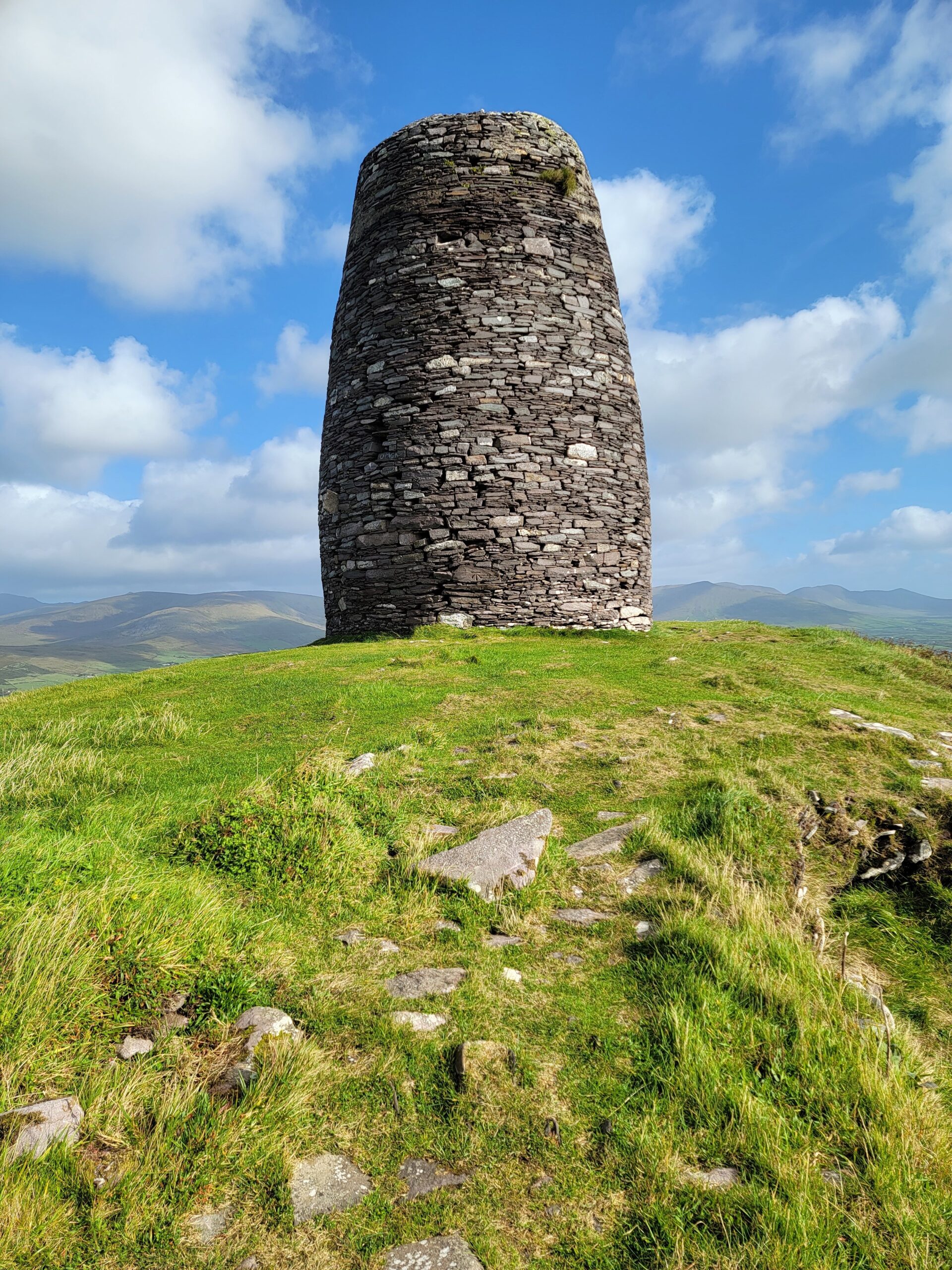
The tower was built in 1847 as a navigational aid. It’s a bit of a hike up to the top of the hill, but well worth the 4 euros the local charged, for the views alone.
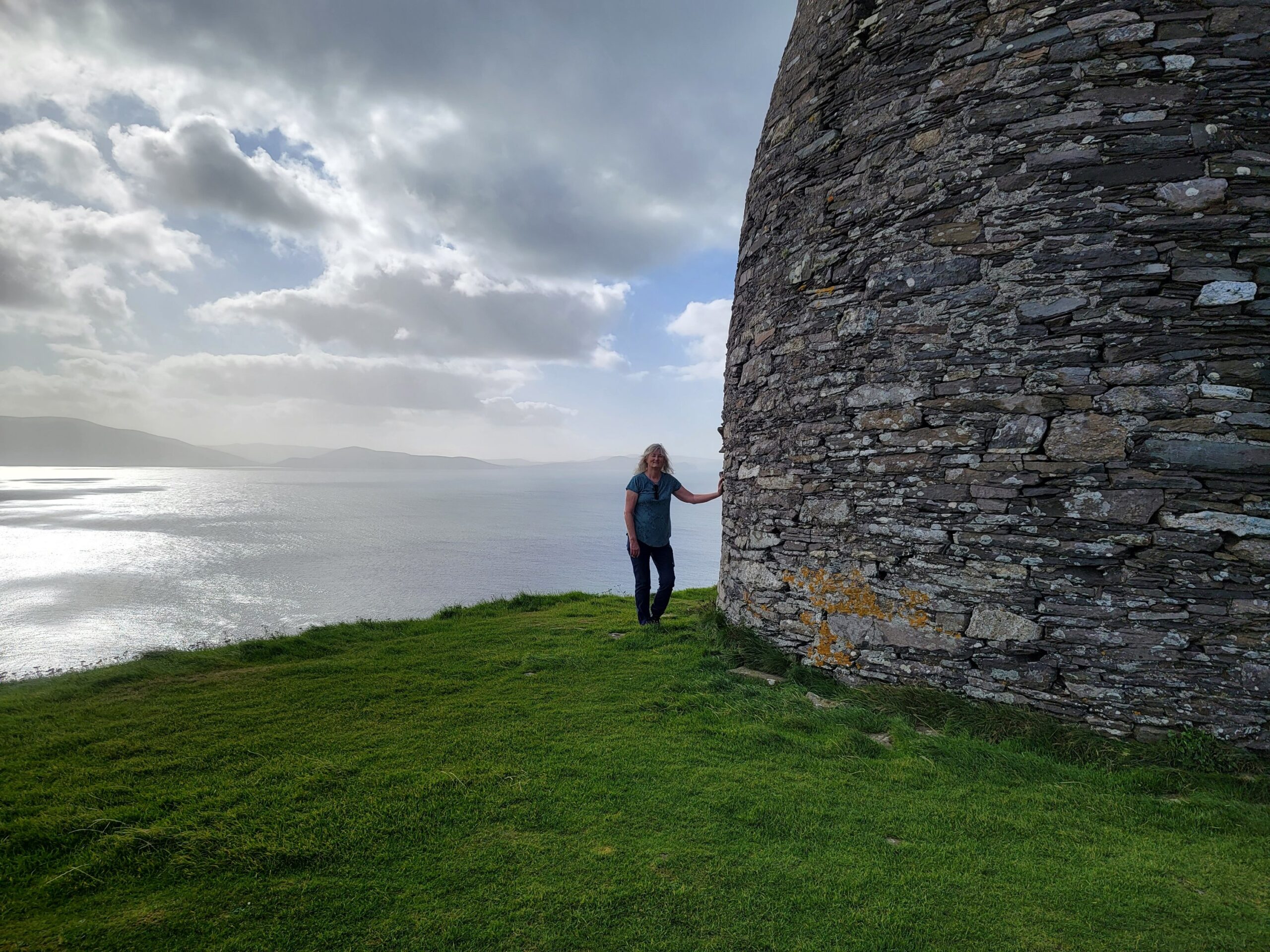
You get a full 360 view from this short hike. Every time I see these photos I just think how gorgeous Ireland is!
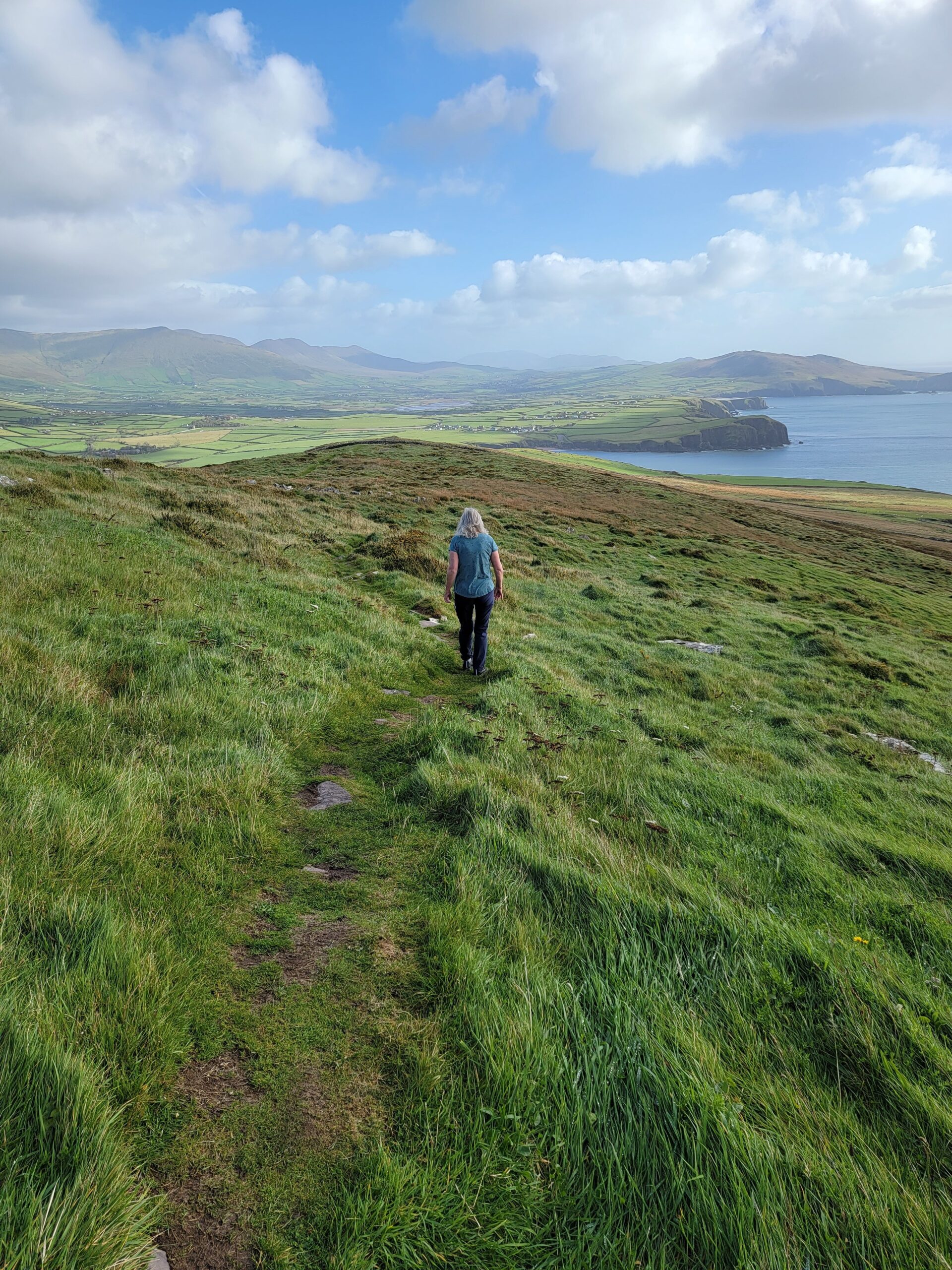
There are always sheep around, so watch your step!
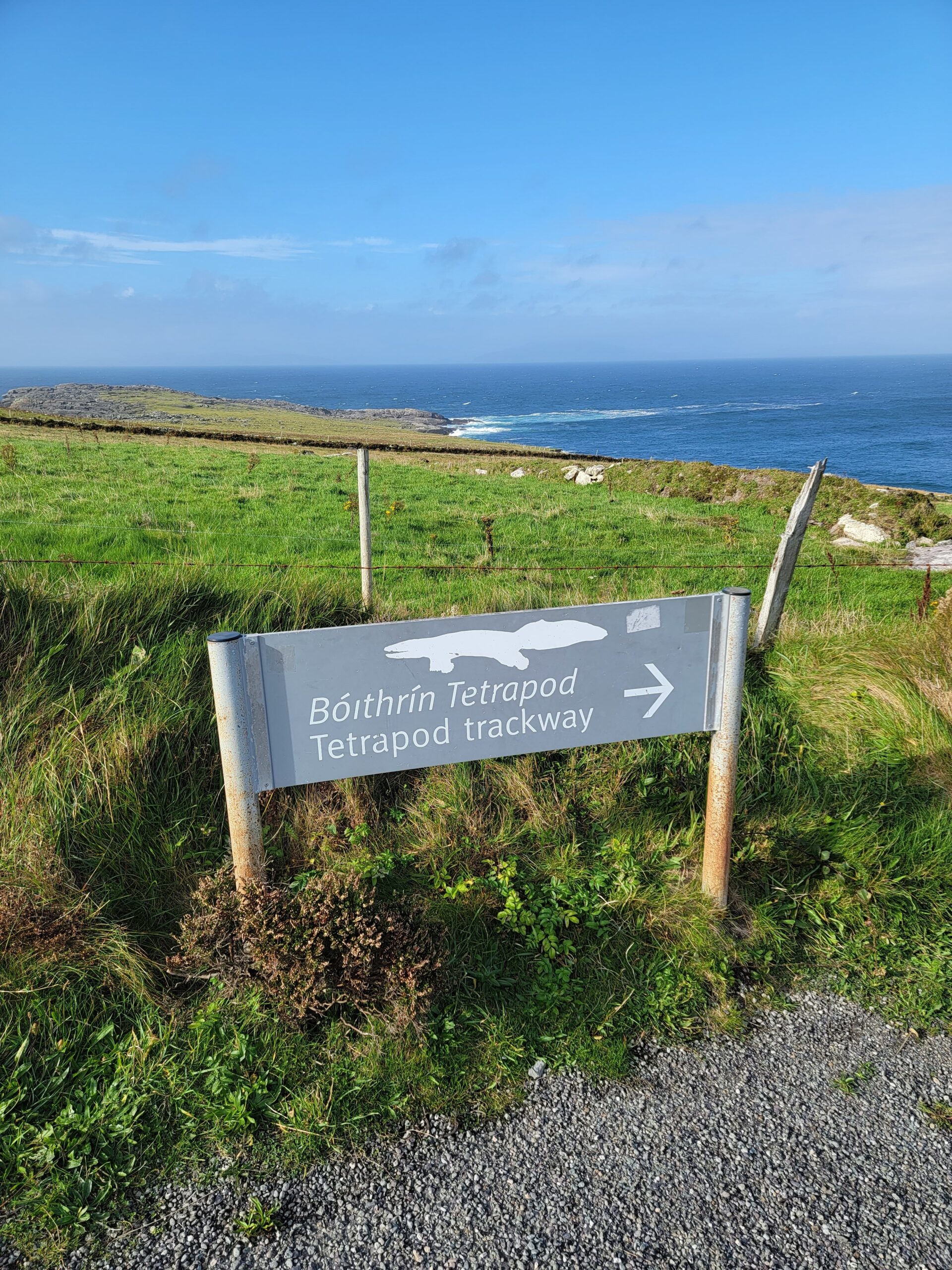
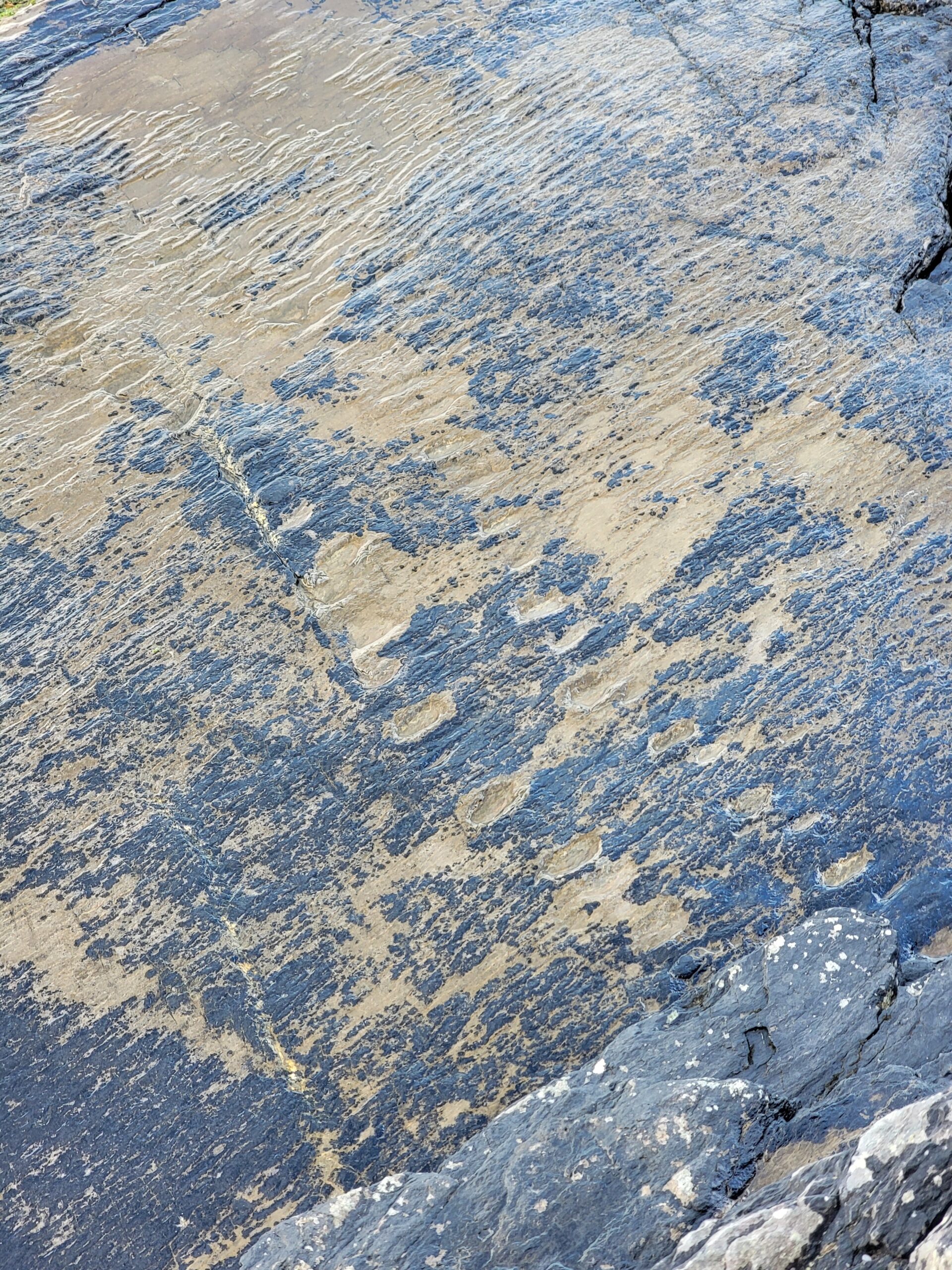
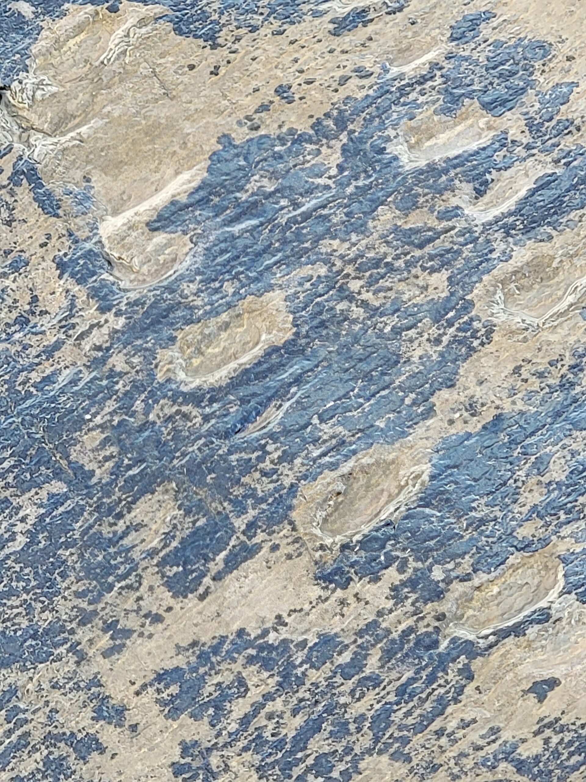
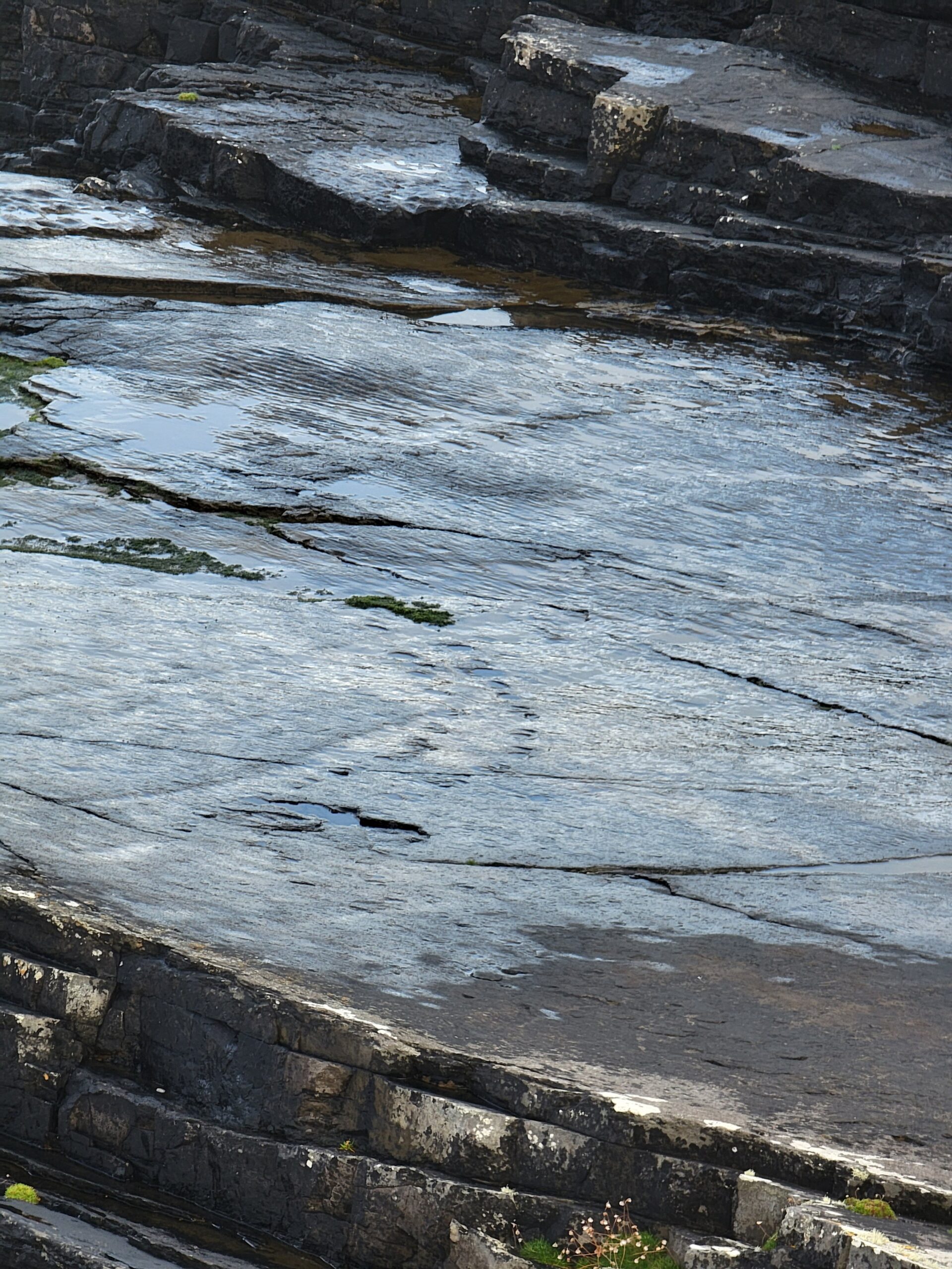
We then ventured out on Slea Head Drive, the main attraction on the Dingle Peninsula. One thing you will quickly discover is many of the historic attractions on this drive are on private property, so you have to pay 3-4 euros each to visit each site. If you are 60 or so, you can claim “Senior” status and get a discount. We’ve not had anybody question our age yet. Maybe that’s a bad thing?? Hmmm…
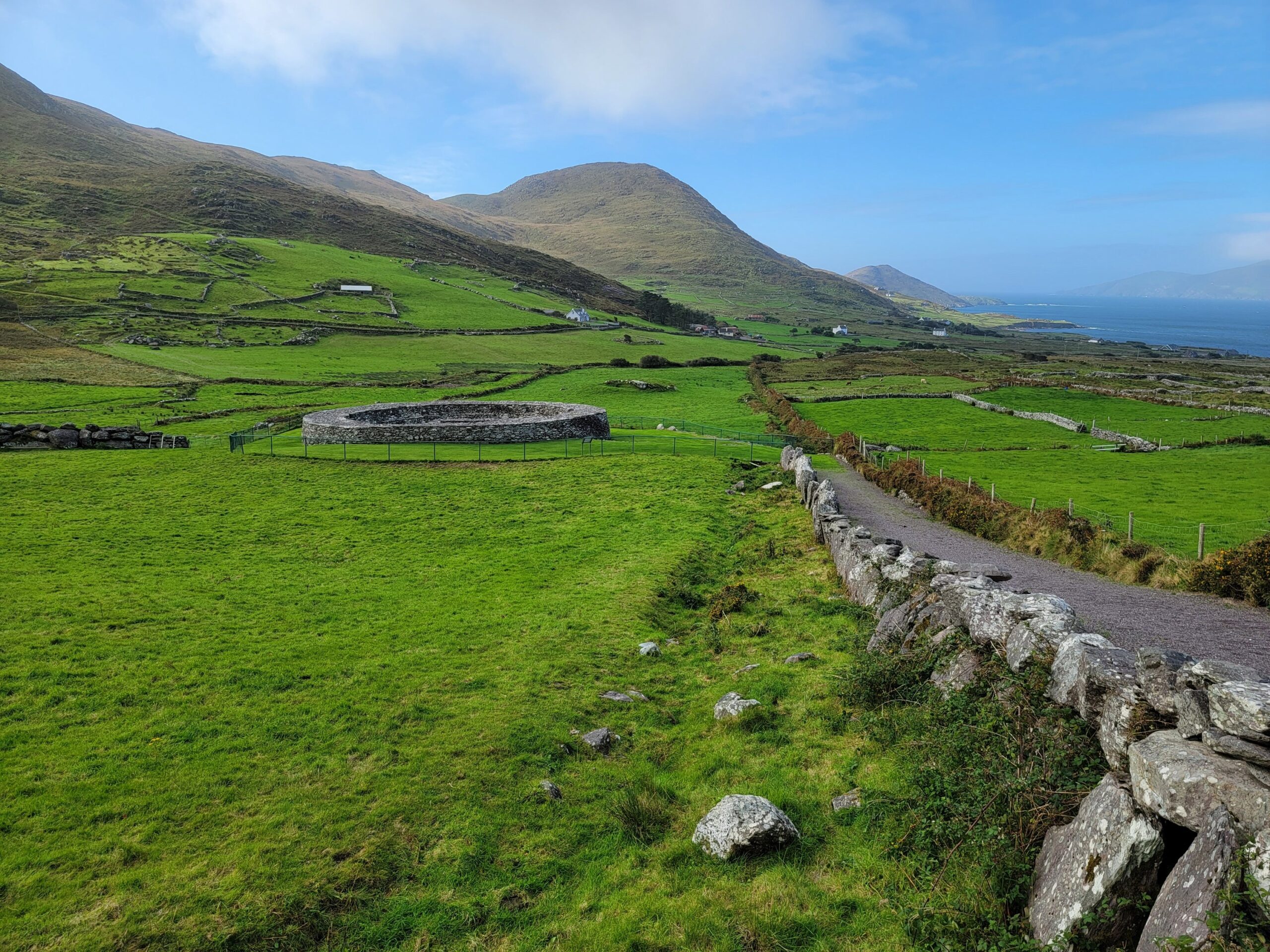
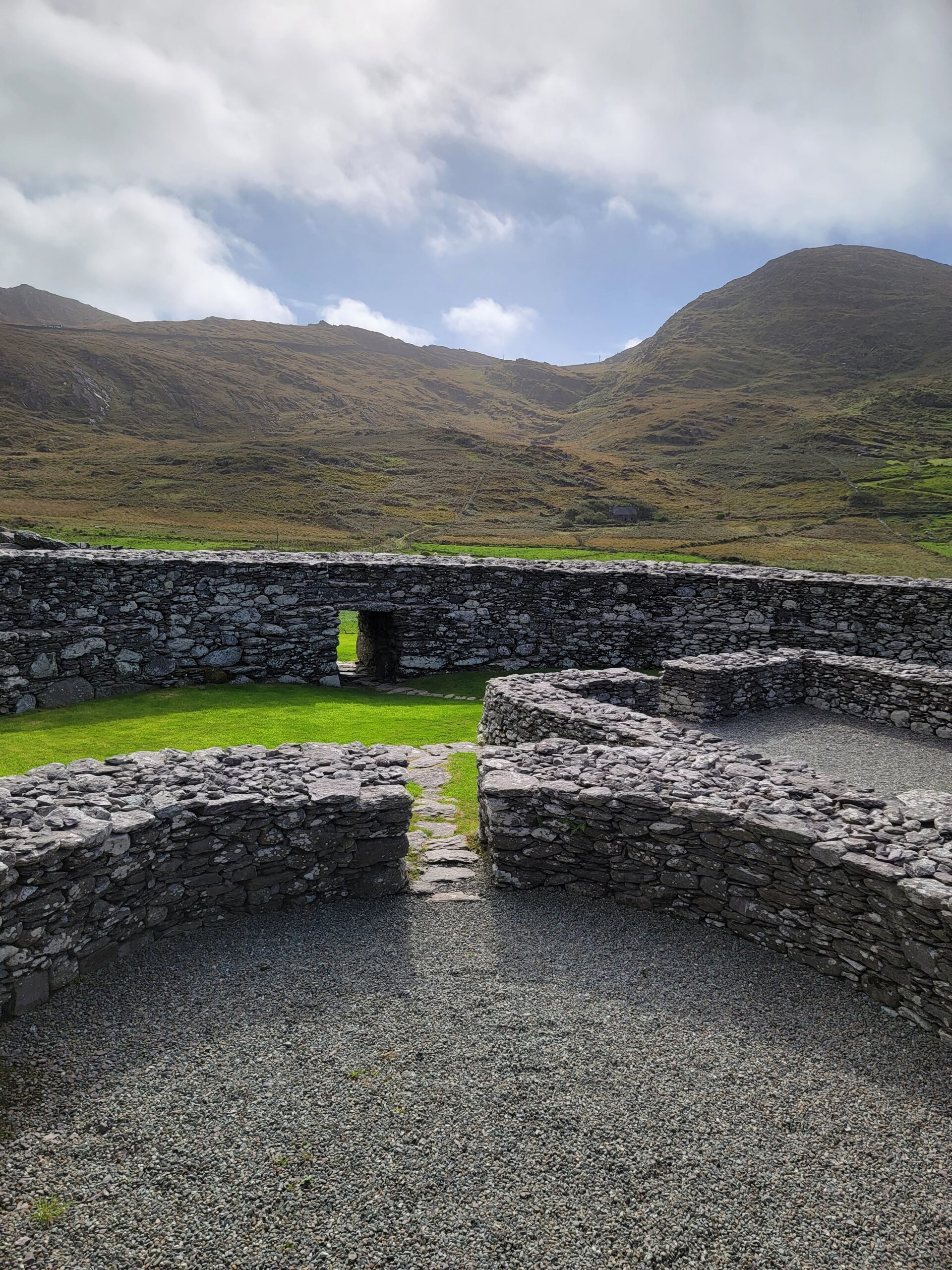
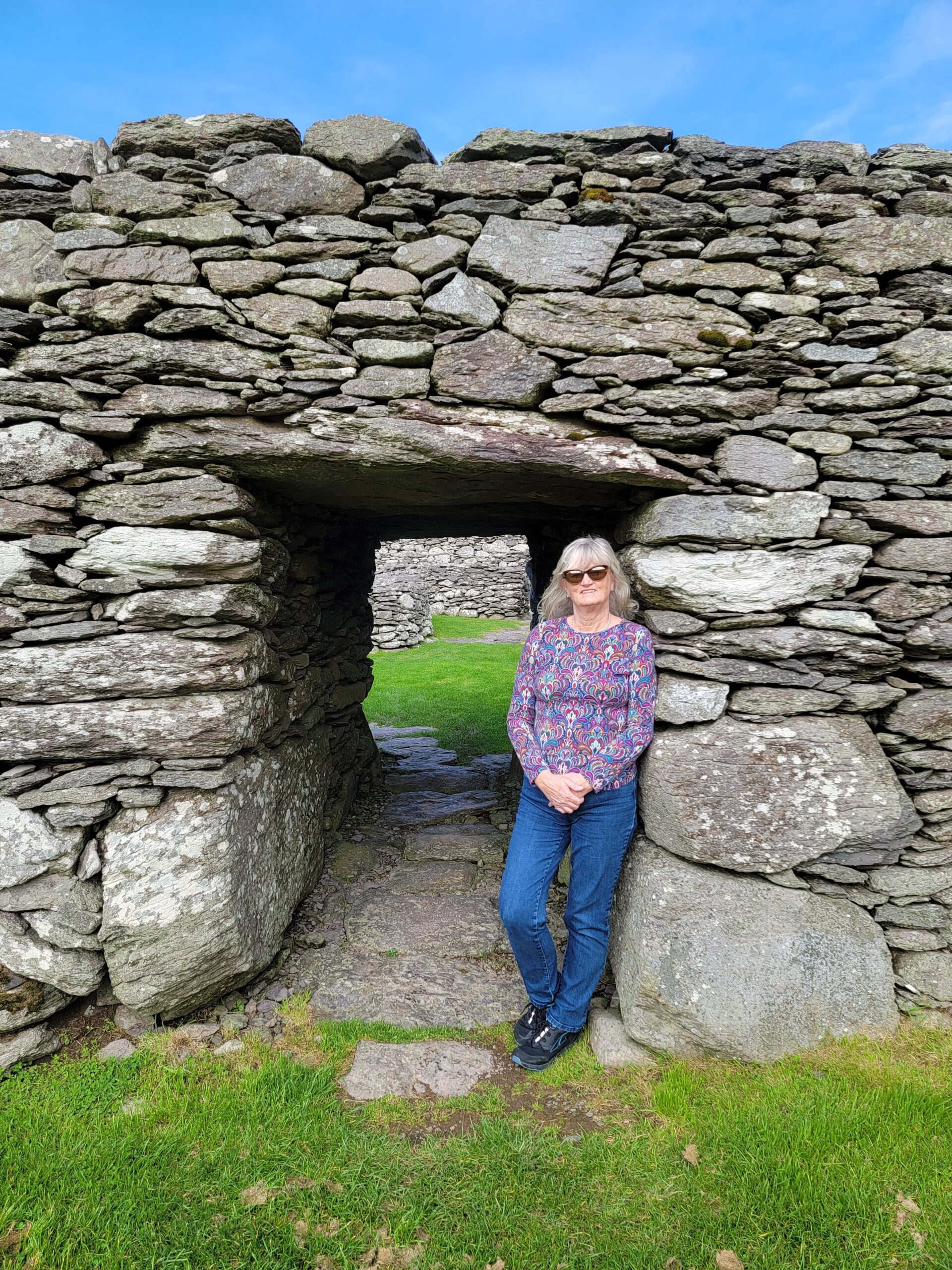
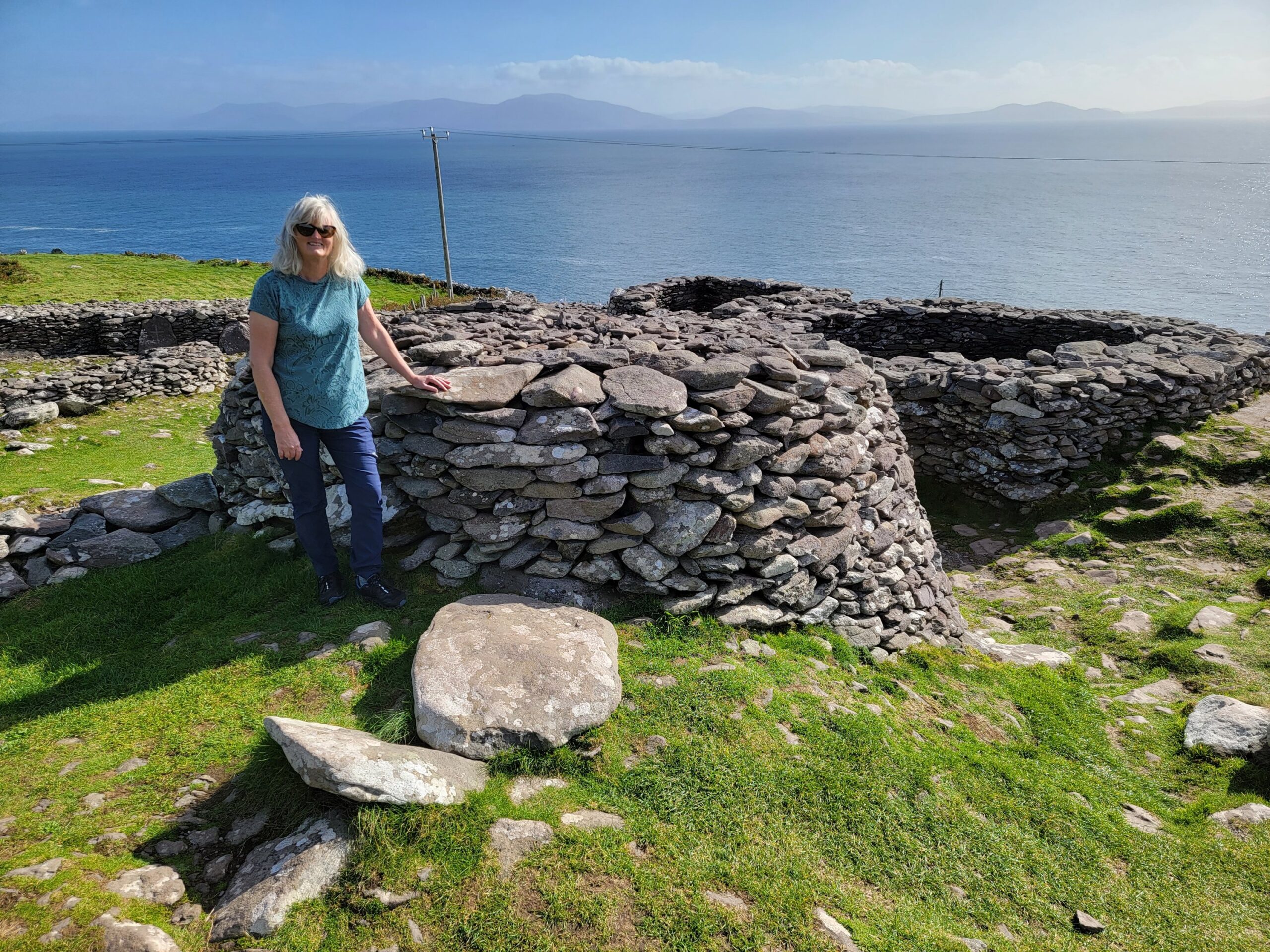
We stopped at the Beehive Huts, which is similar to a site we saw on the Ring of Kerry.
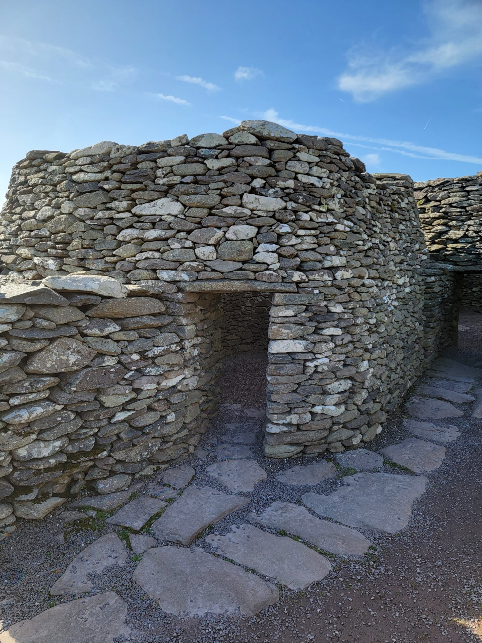
The buildings here were part of a farmstead, where farmers from as far back as 1200 built walls around their homes to protect themselves and their livestock from cattle raiders and wild animals.
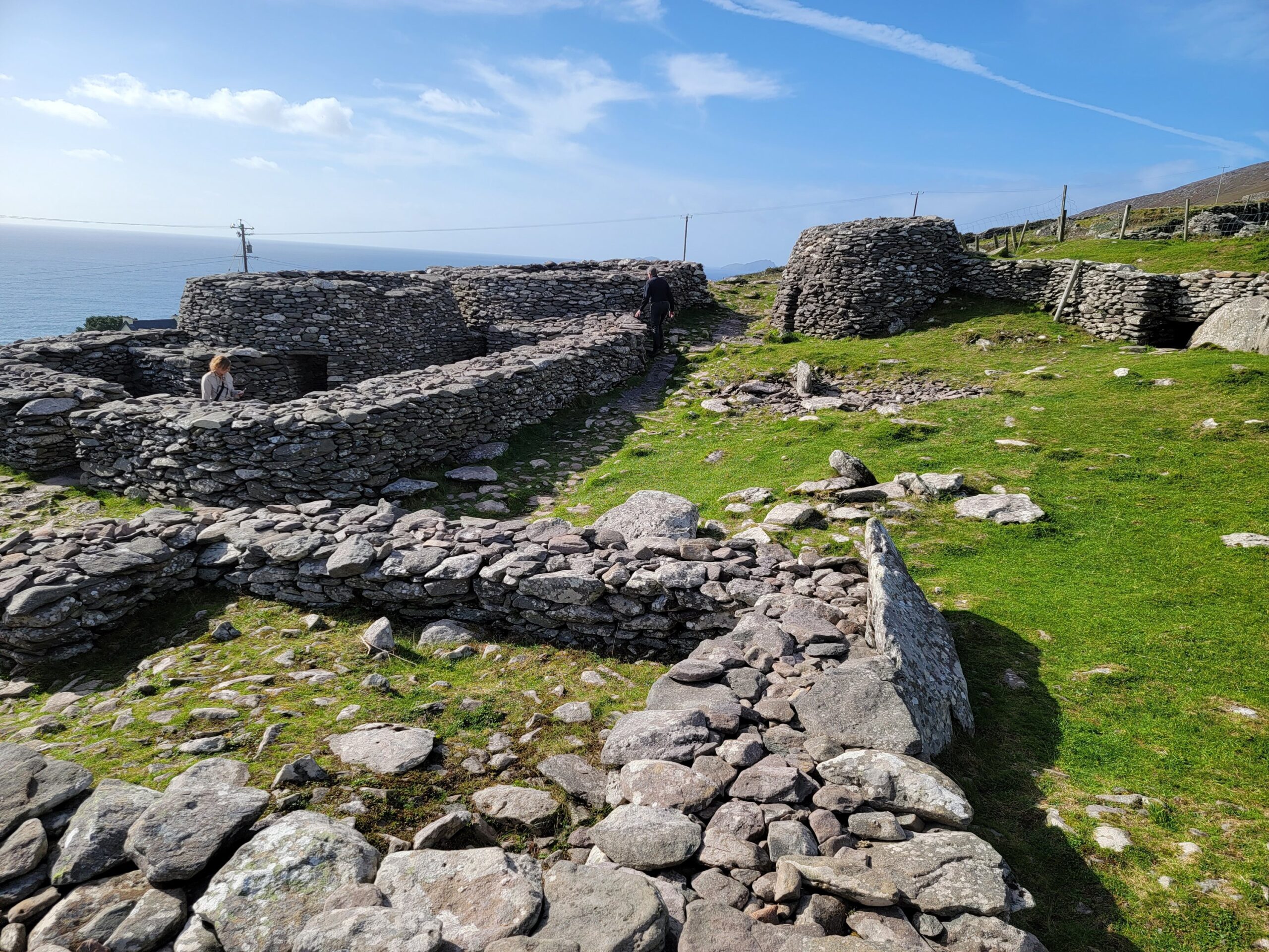
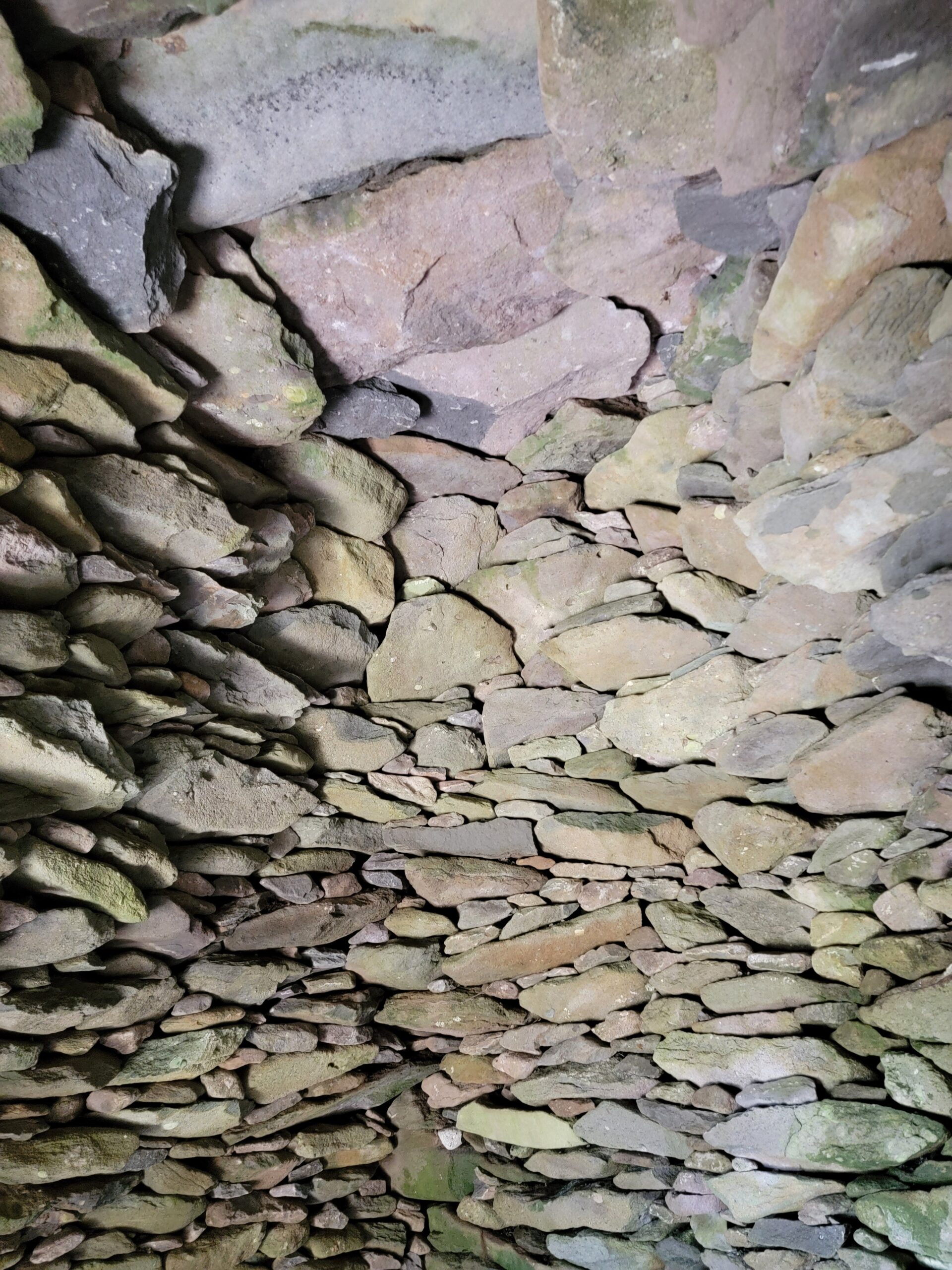
One of these Beehive buildings has the original roof and you can walk inside and see the intricate construction. The two big rocks, called the capstones, were the top part of the roof.
They definitely picked a spot with an excellent view!
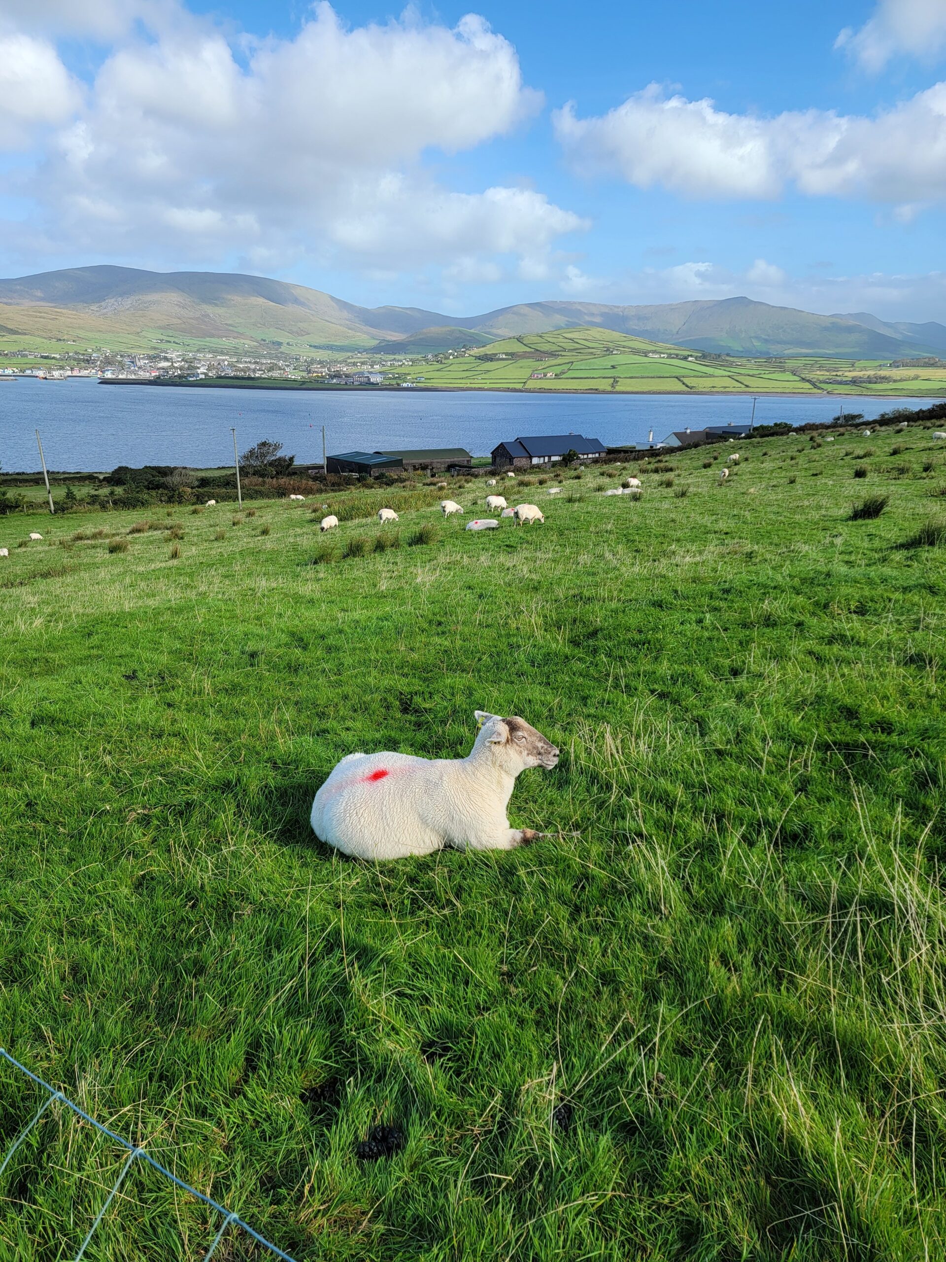
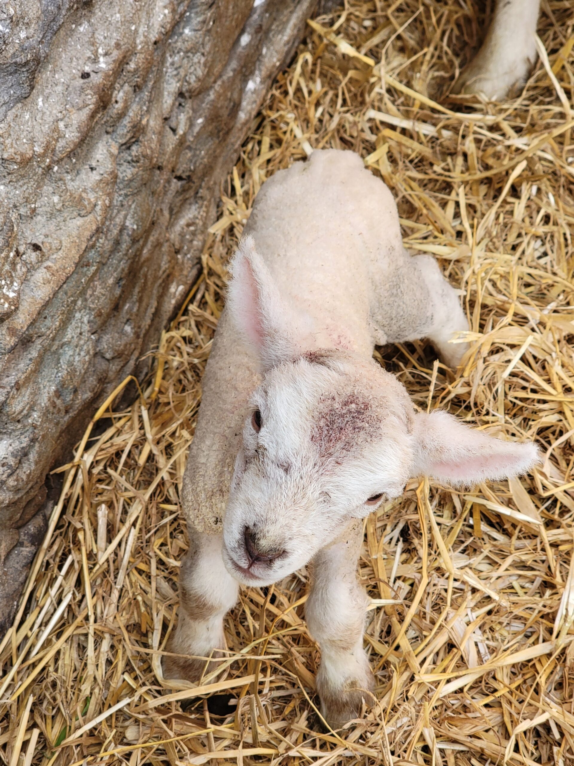
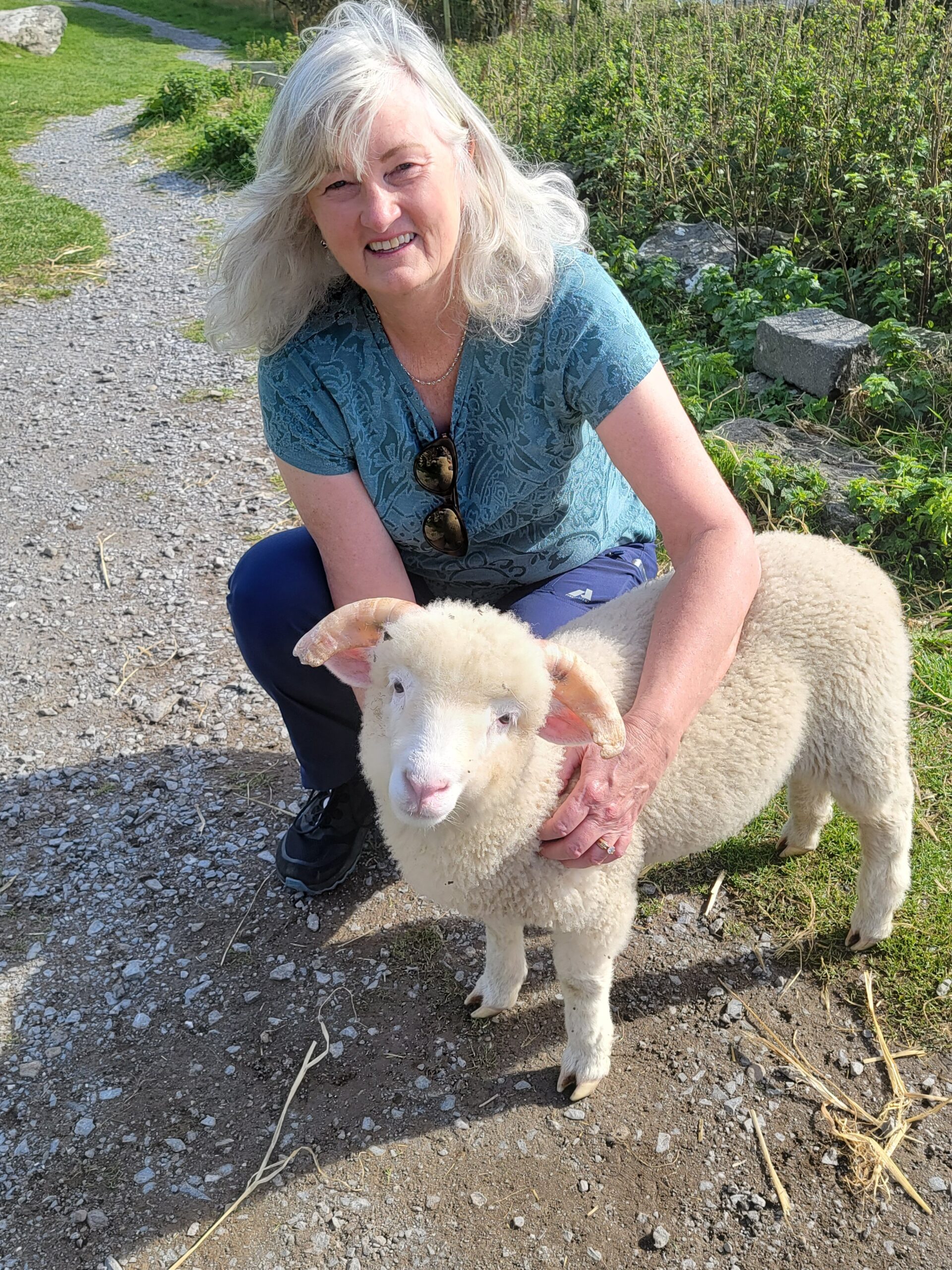
Not too much further along was a spot called “Hold a Baby Lamb”. The first babies we saw were too young for holding, at only a day old. Mama was closely guarding them, but this one was adventurous.
The next guy looked a little too big to hold, but Kim at least gave it a hug. You can see it in the lambs face, “all I get is a hug?” We tried to get him into the back seat of the car but he wasn’t having it. We kept talking about “how to get him on the plane?”, but his stubbornness solved that problem.
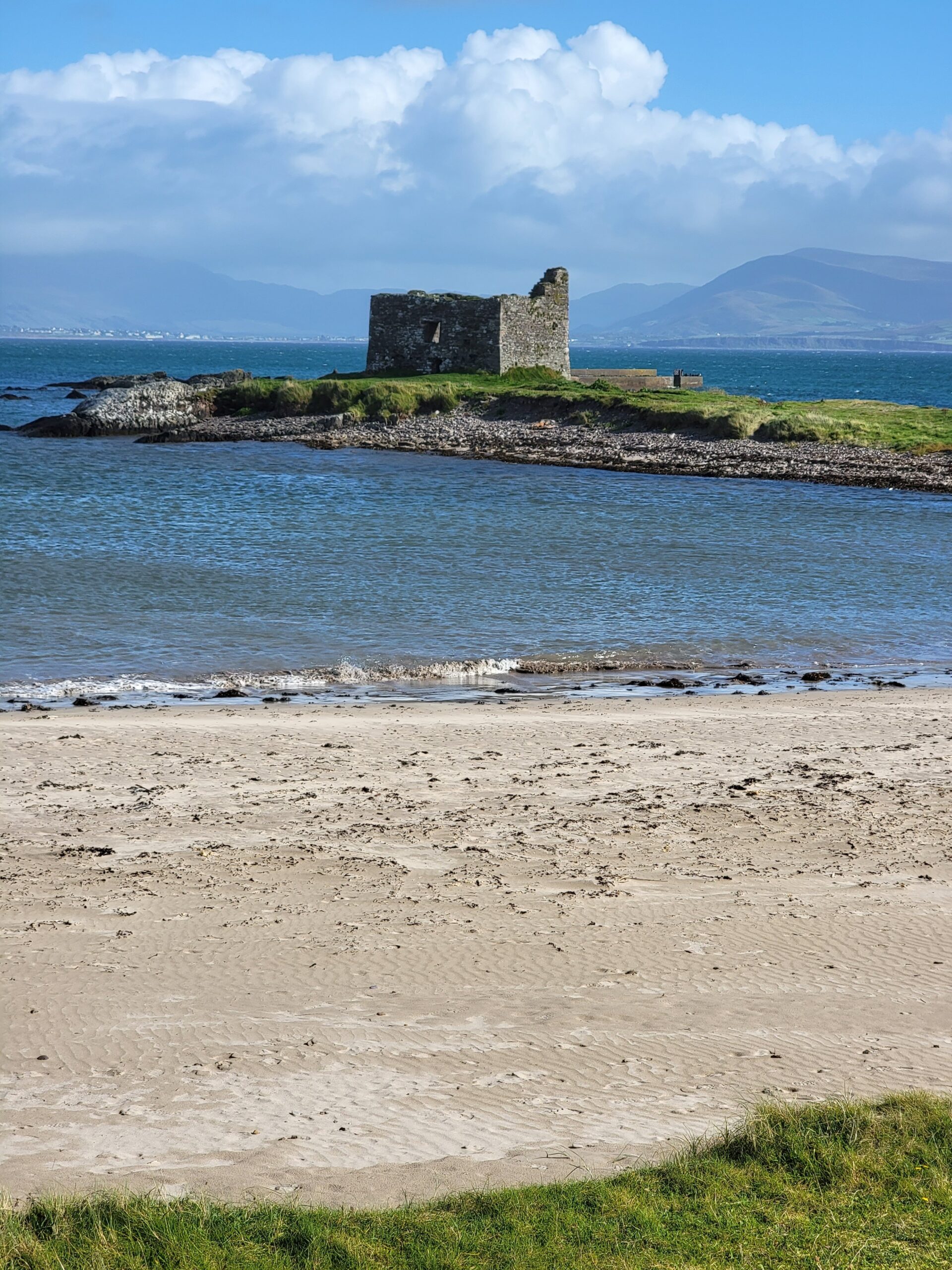
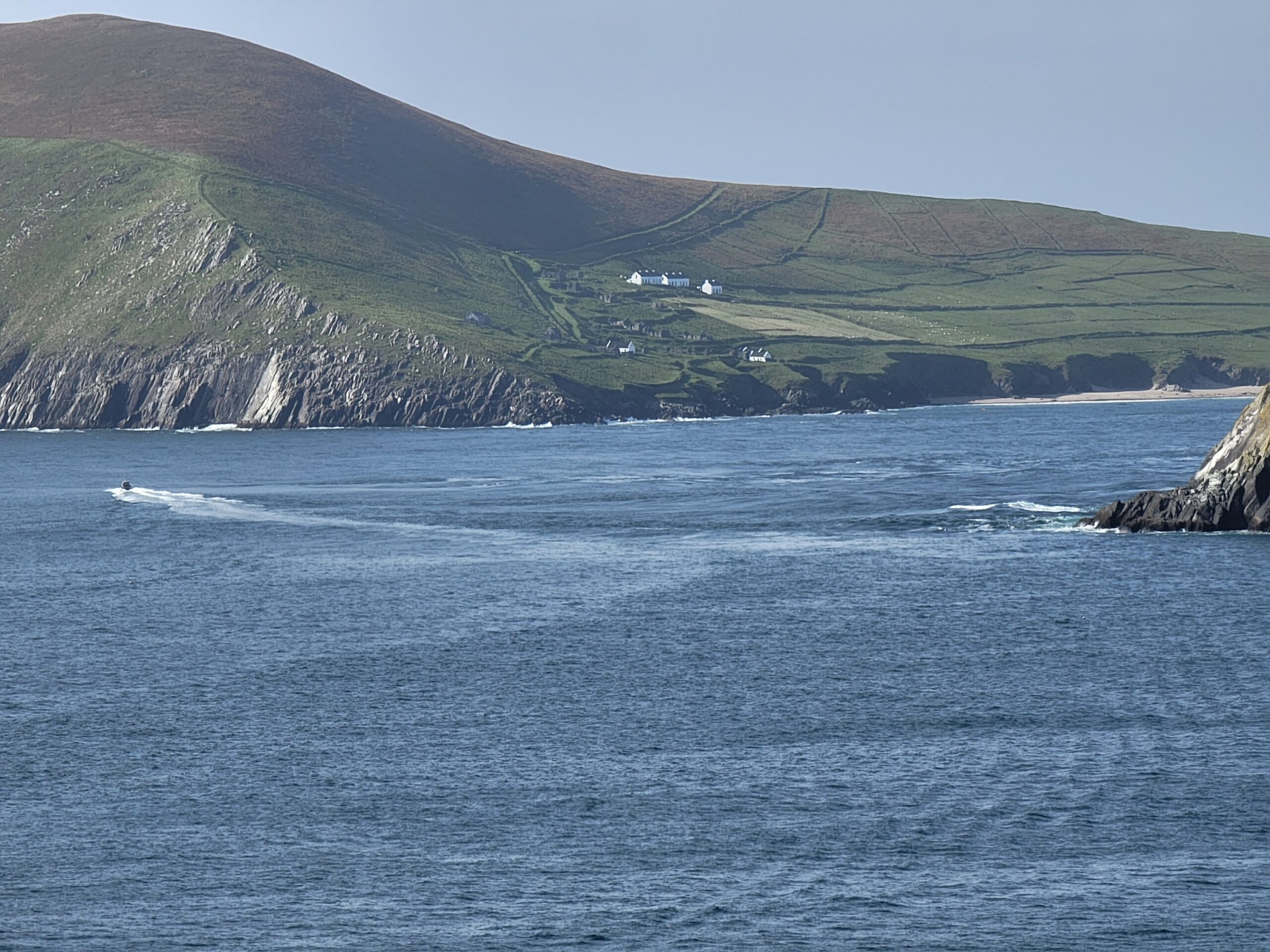
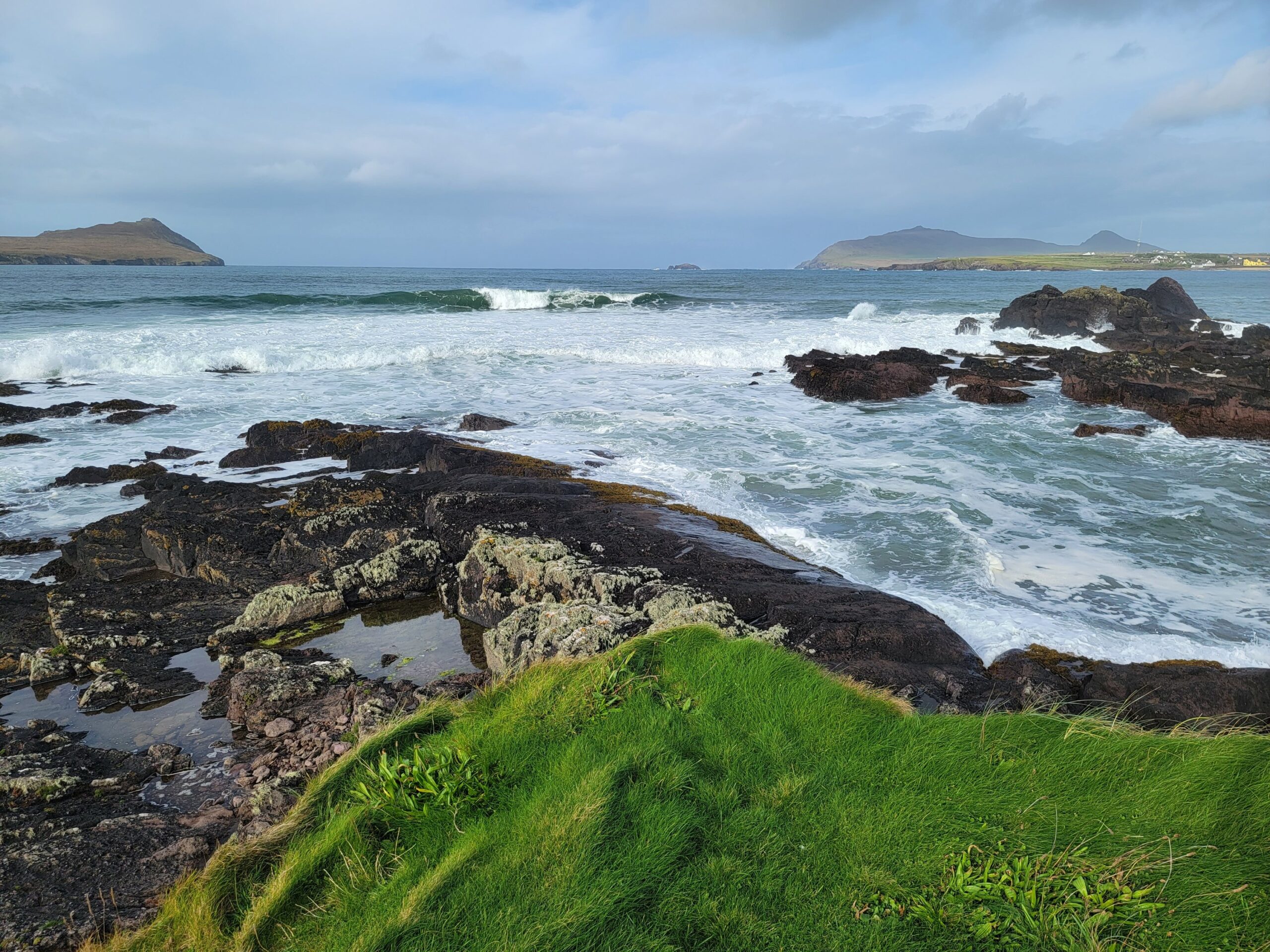
As you curve around Slea Head Drive you come into the view of the Blasket Islands. The prior day you couldn’t see them at all due to the weather.
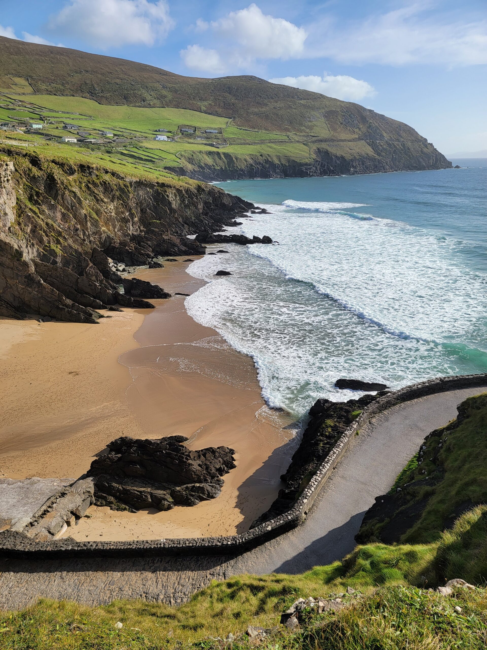
There are beautiful beaches spread out along the road.
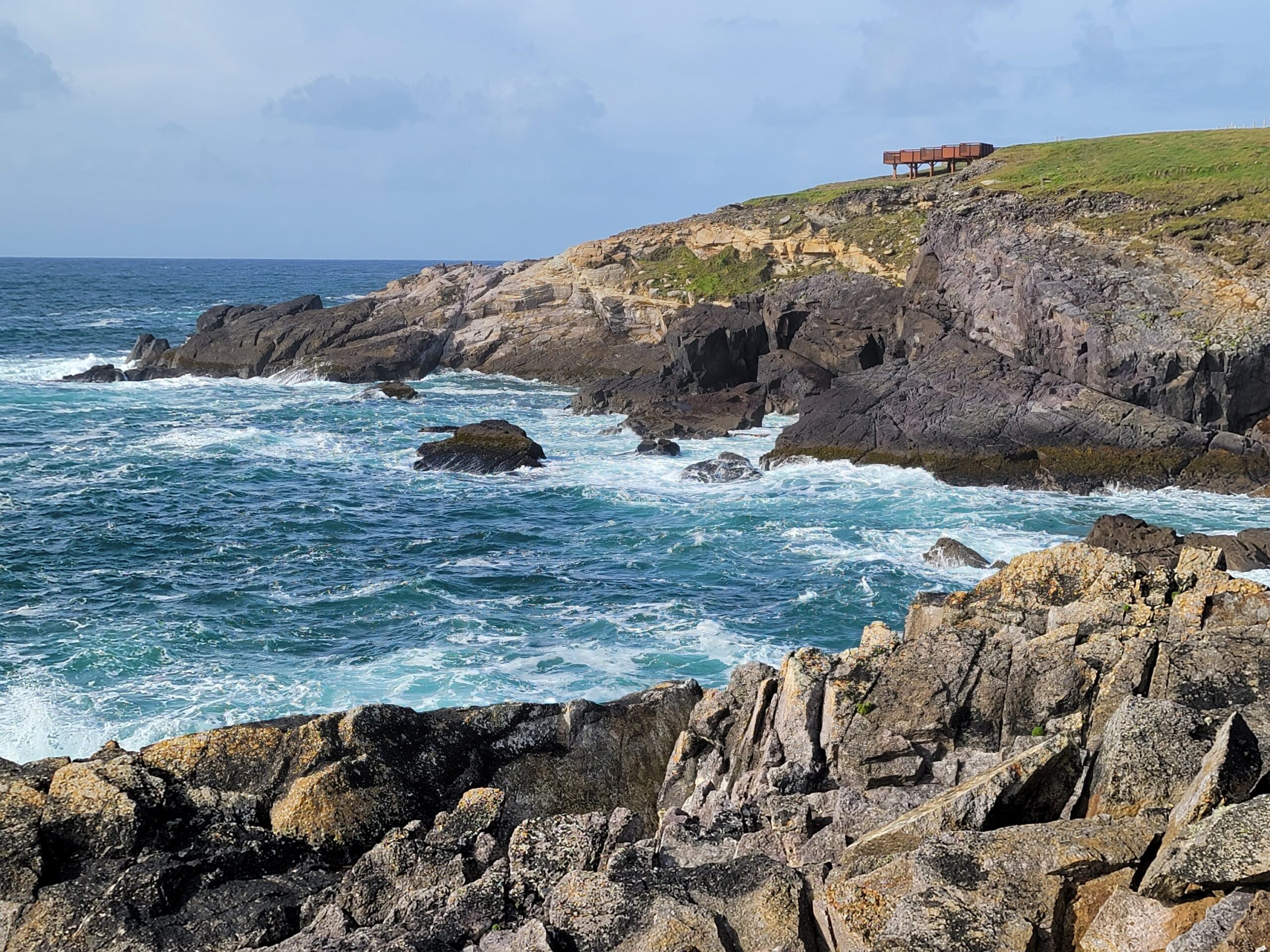
This view of the Blasket Islands is from the viewing platform at Great Blasket Islands Centre.
Here is a shot of the viewing platform.
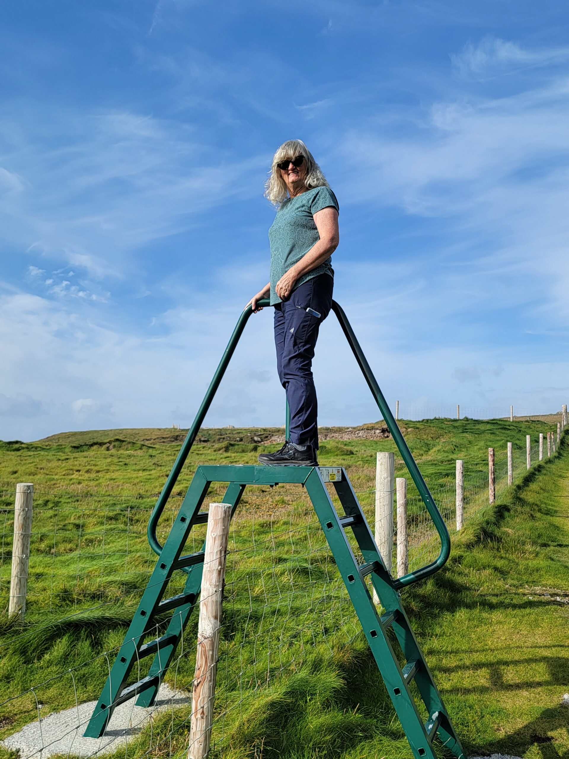
They have a unique solution for getting over fences.
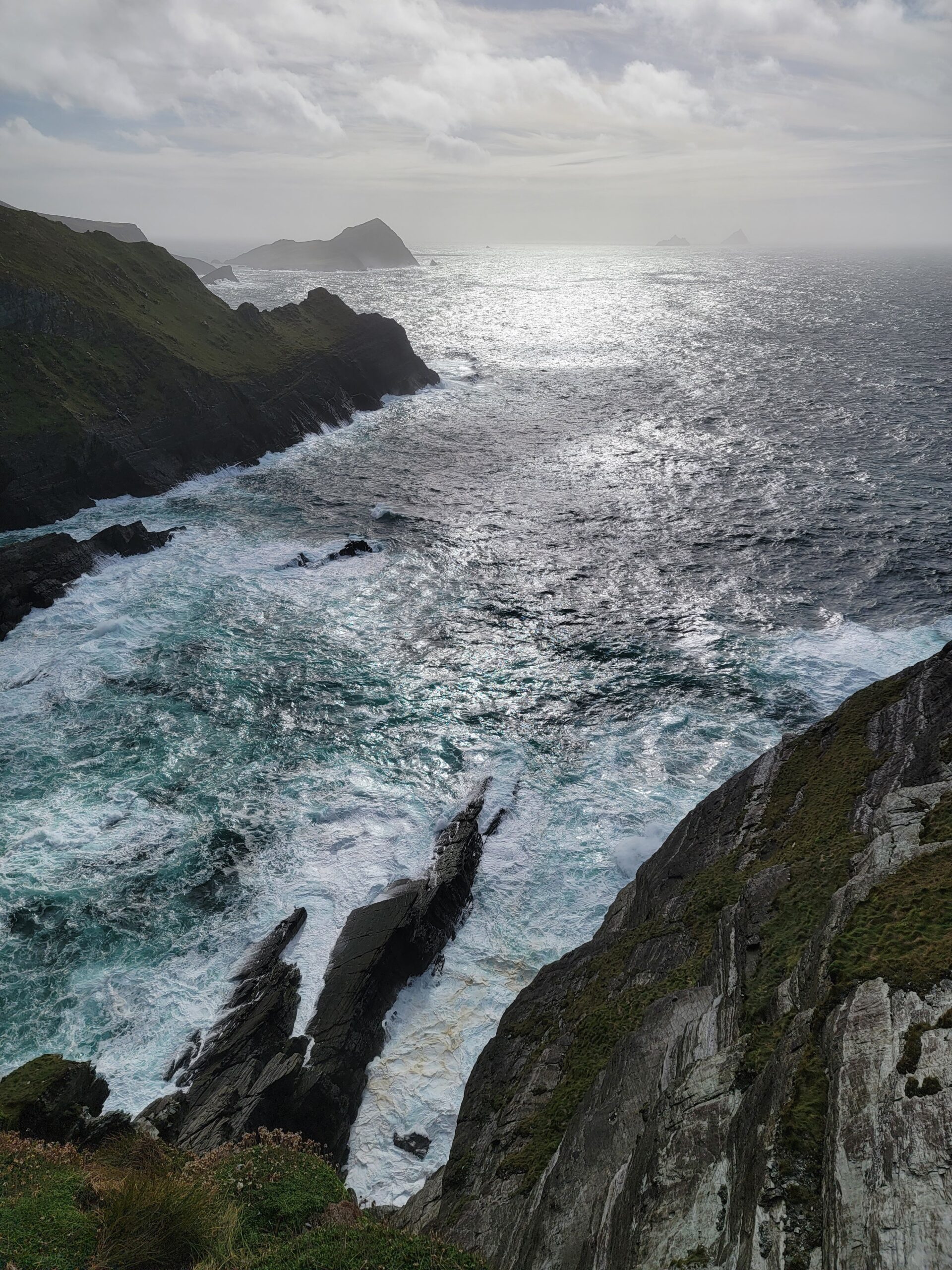
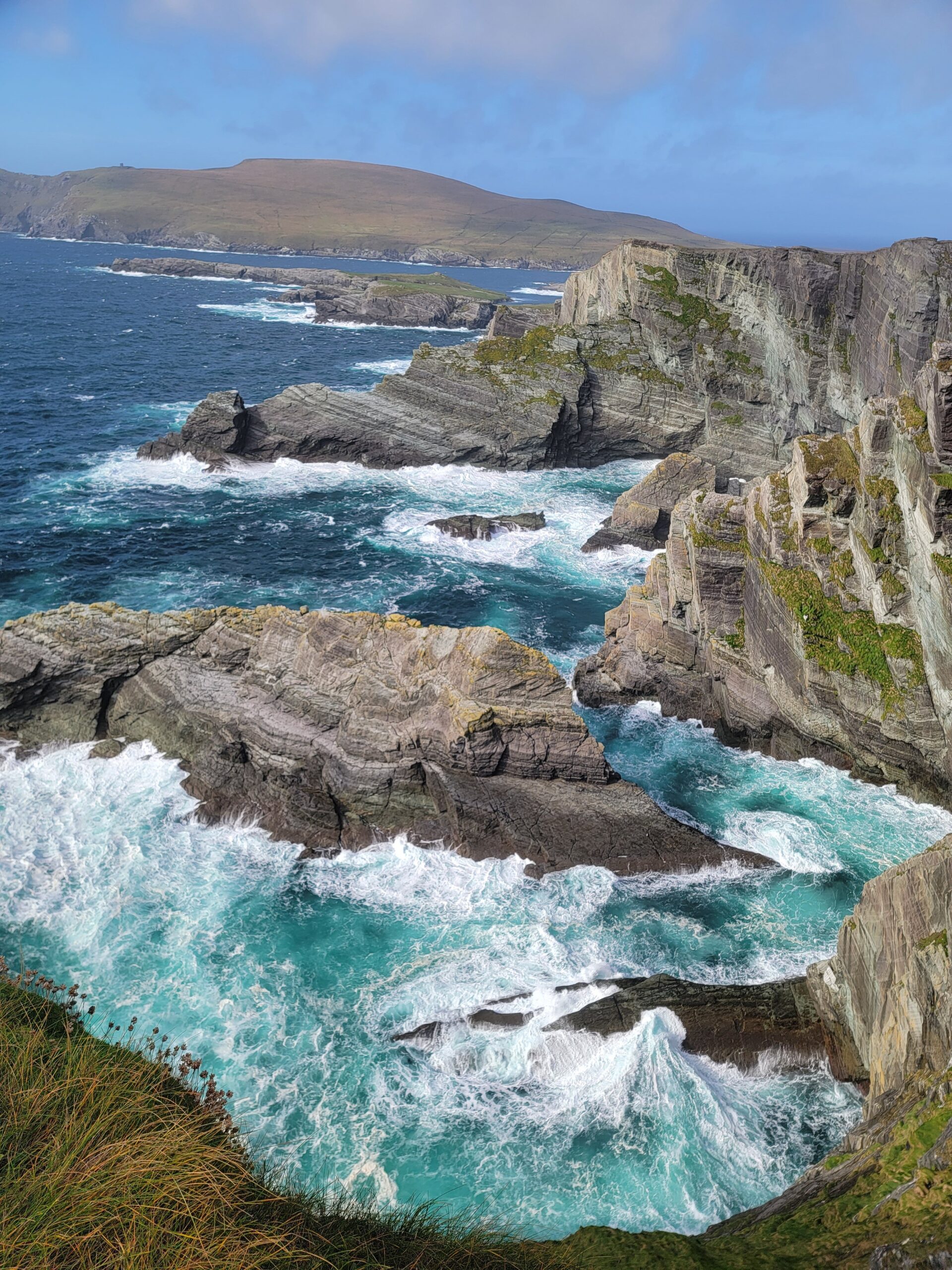
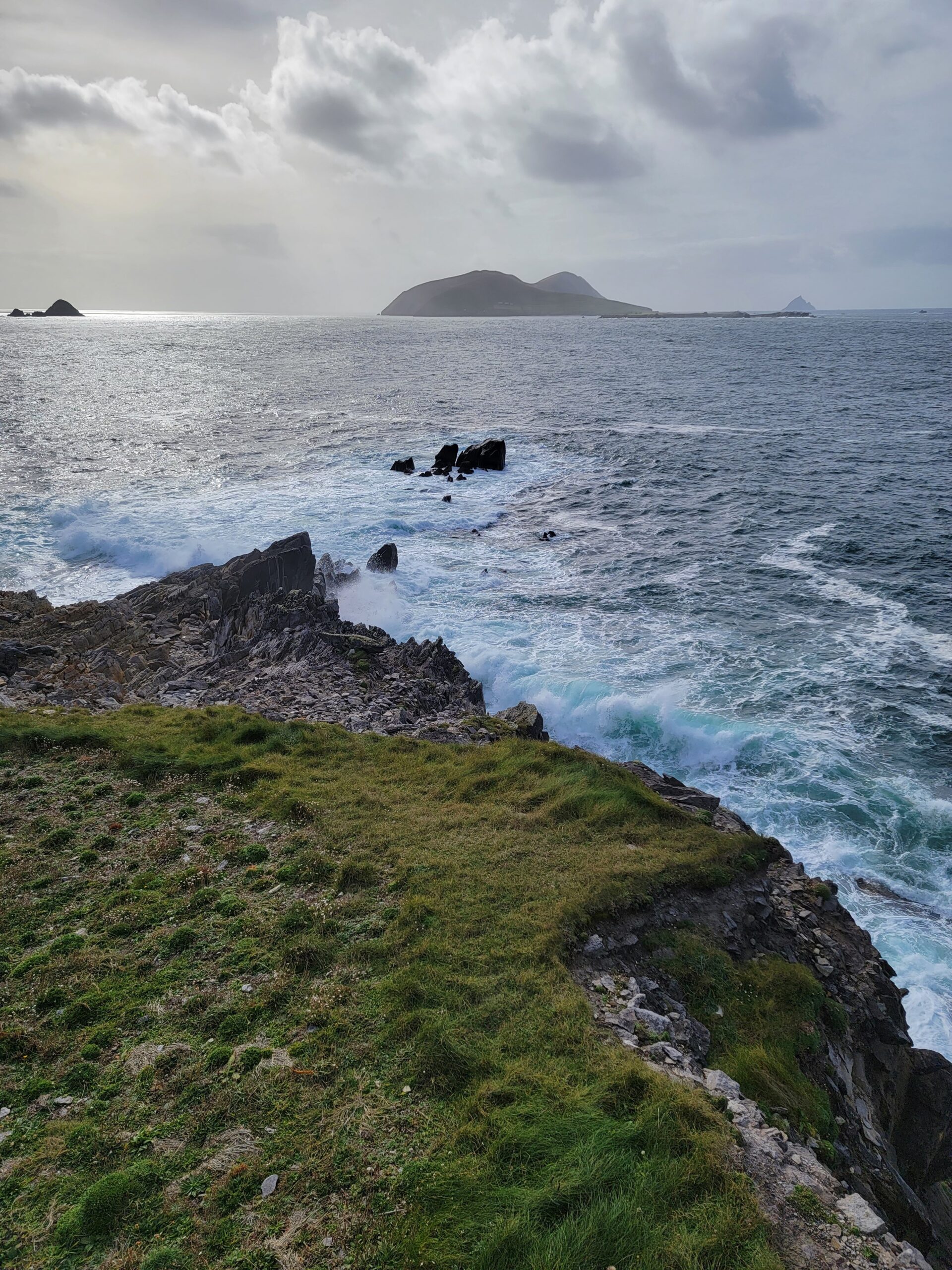
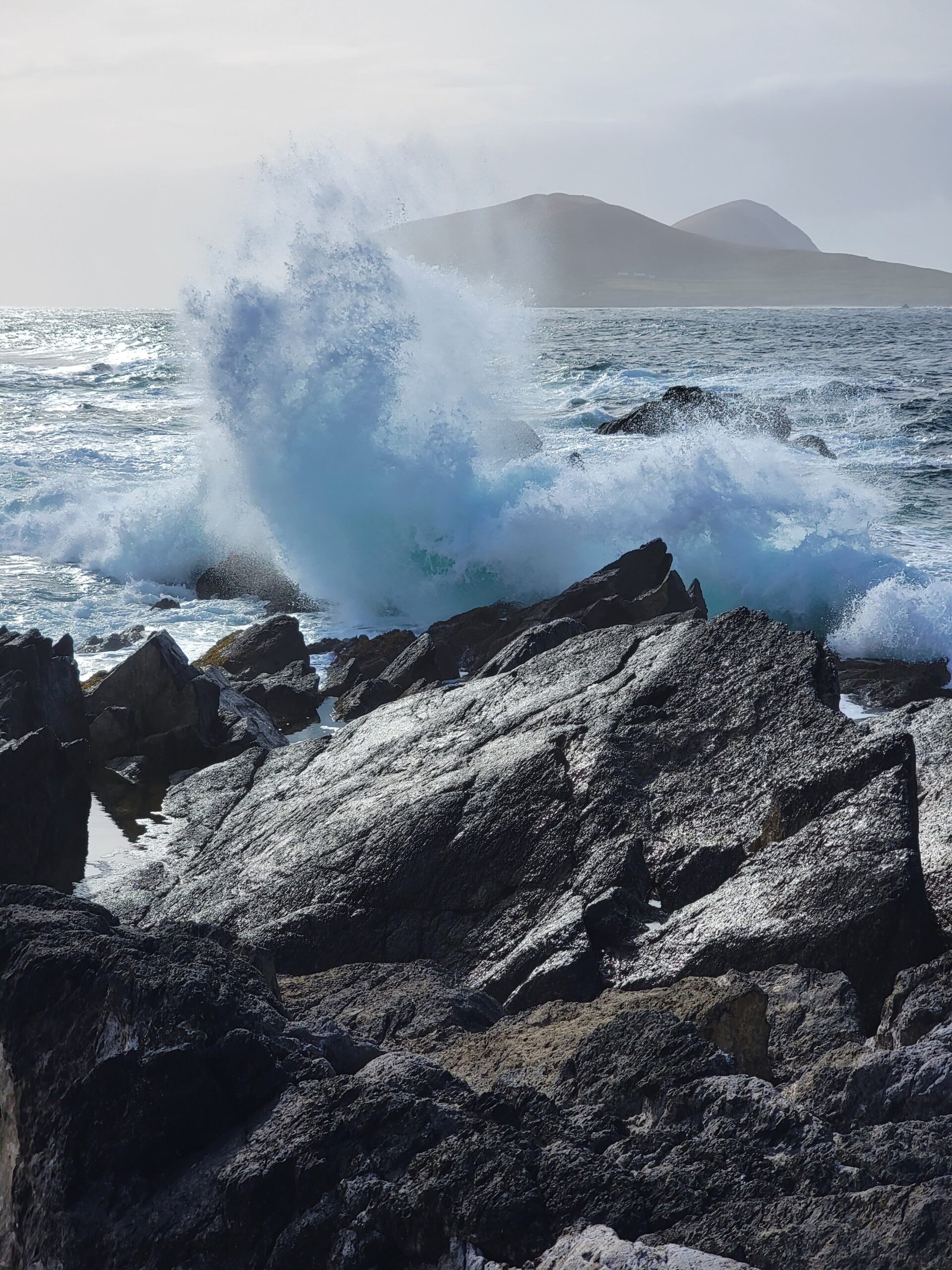
The seas were still choppy from the days prior storms.
The next stop was Wine Strand. Not sure why wine is associated?? Nice surf! That view would never get old, particularly if it came with some wine!
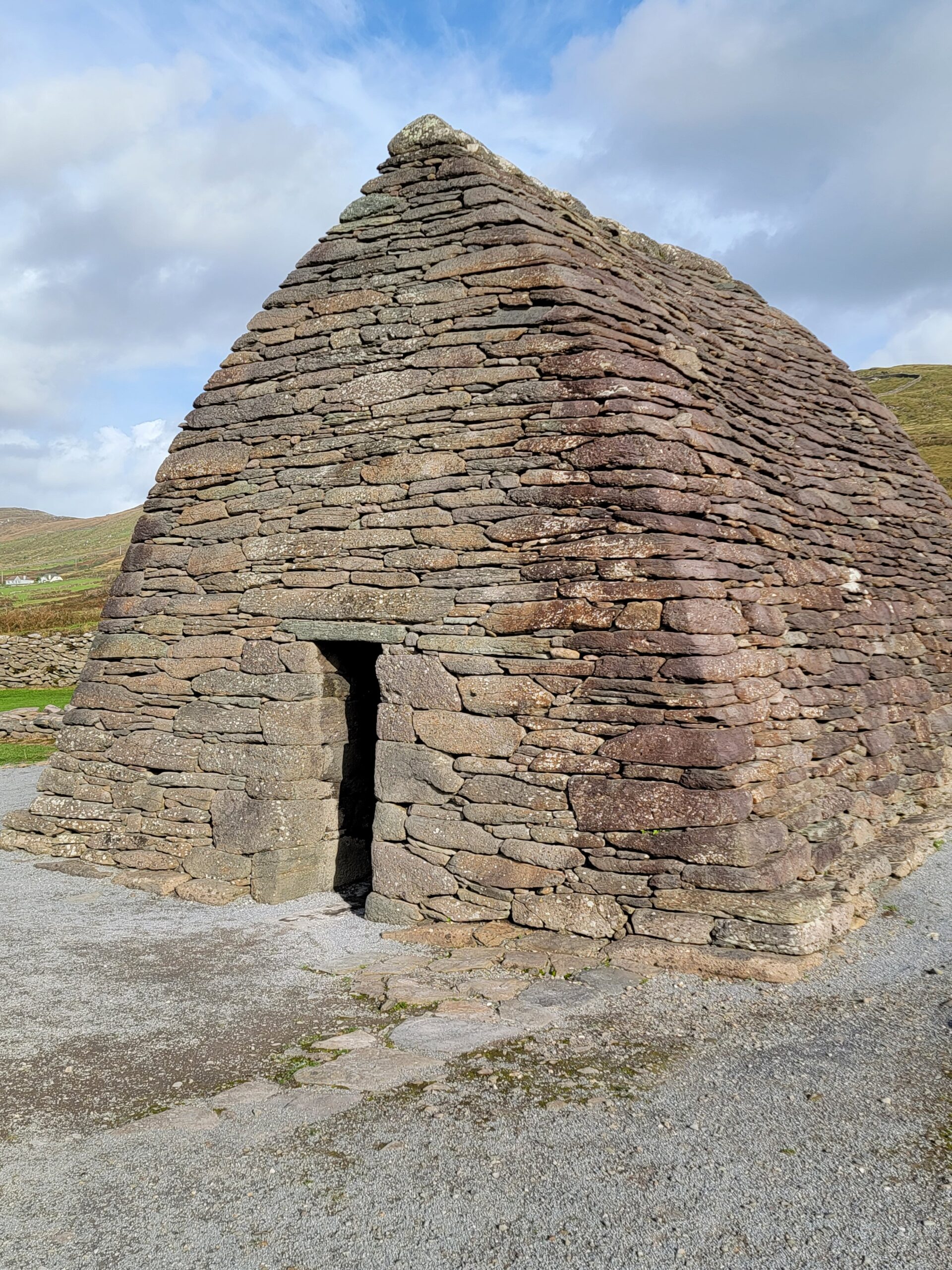
Our last stop before heading back to Dingle was Gallarus Oratory (what a strange name…is this Optimus Prime’s partner in crime or something?). When we pulled into the private lot we thought “4 euros each for one building, screw it”. We then turned a corner and saw the below sign. Ireland’s Office of Public Works has added access that doesn’t cross the private property. We just saved 8 euros!
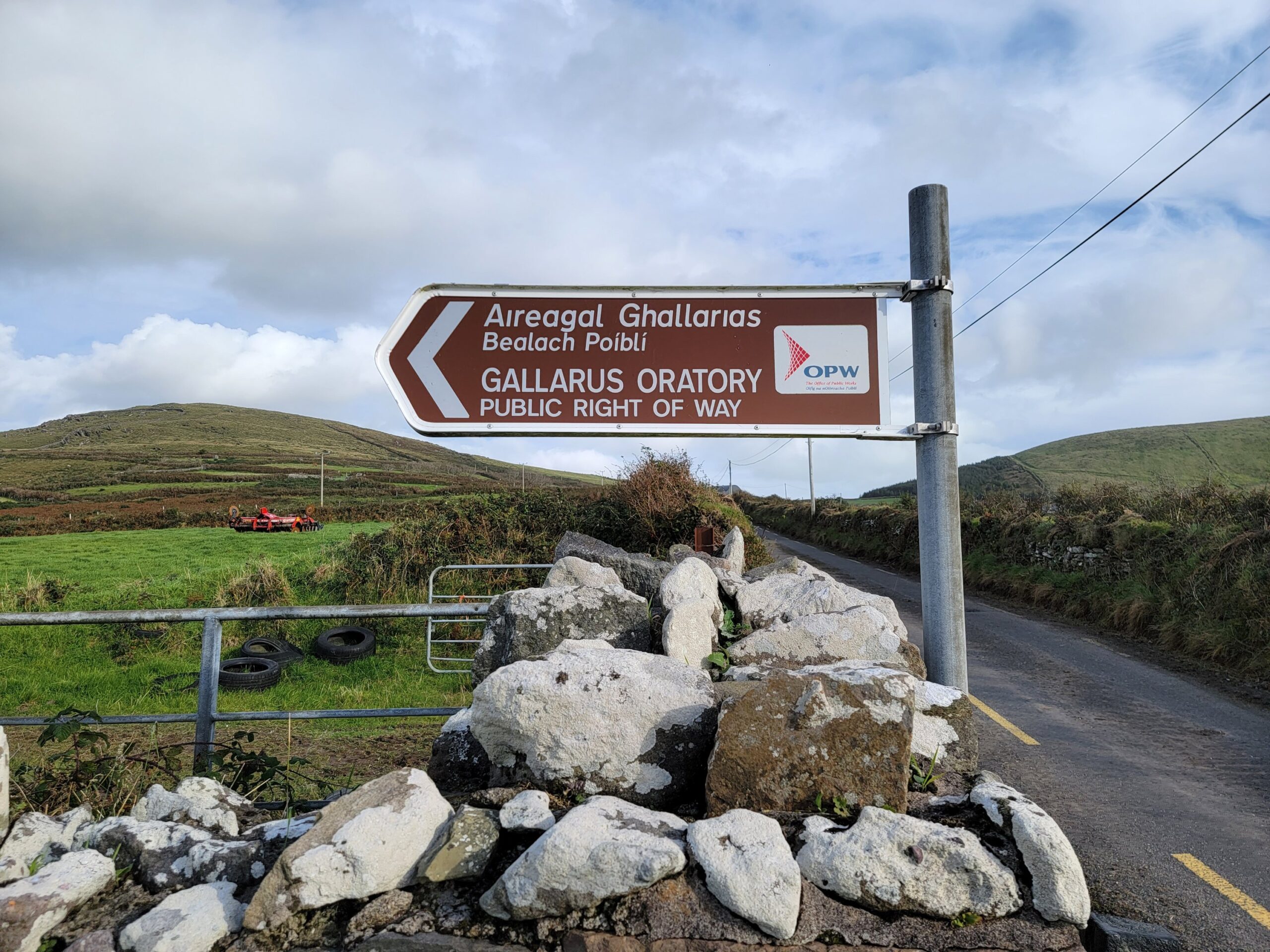
Experts are divided on it’s purpose. It’s either an early Christian stone church, a 12th century Romanesque church, or a shelter for pilgrims. Regardless, it’s in it’s original condition, likely due to the painstakingly detailed rock placement, allowing water to shed away from the building. It’s an awesome building, particularly because we just saved 8 euros!!
This was our last night in Dingle, so we found some music in The Dingle Pub. The awesome Reel Brothers were worth staying up late for!
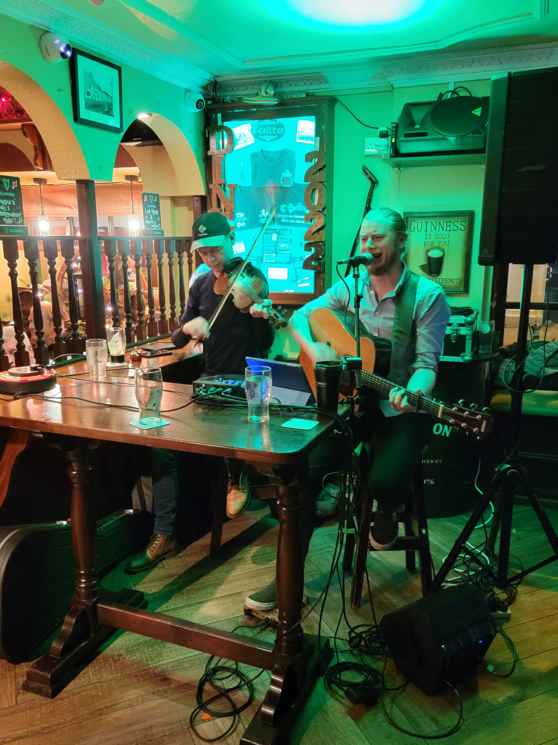
Around 1030 at night we had the man with “Ireland’s fastest feet? show up, David Geaney.
He was incredible, and really got the crowd involved in the act! We were there until midnight, and we NEVER stay up that late!!
Ok, now I understand why they never question us when I state “two Seniors please”. Sigh.
Next up, we head to Spanish Point, a short drive away from the famous Cliffs of Moher. As always, thanks for reading!