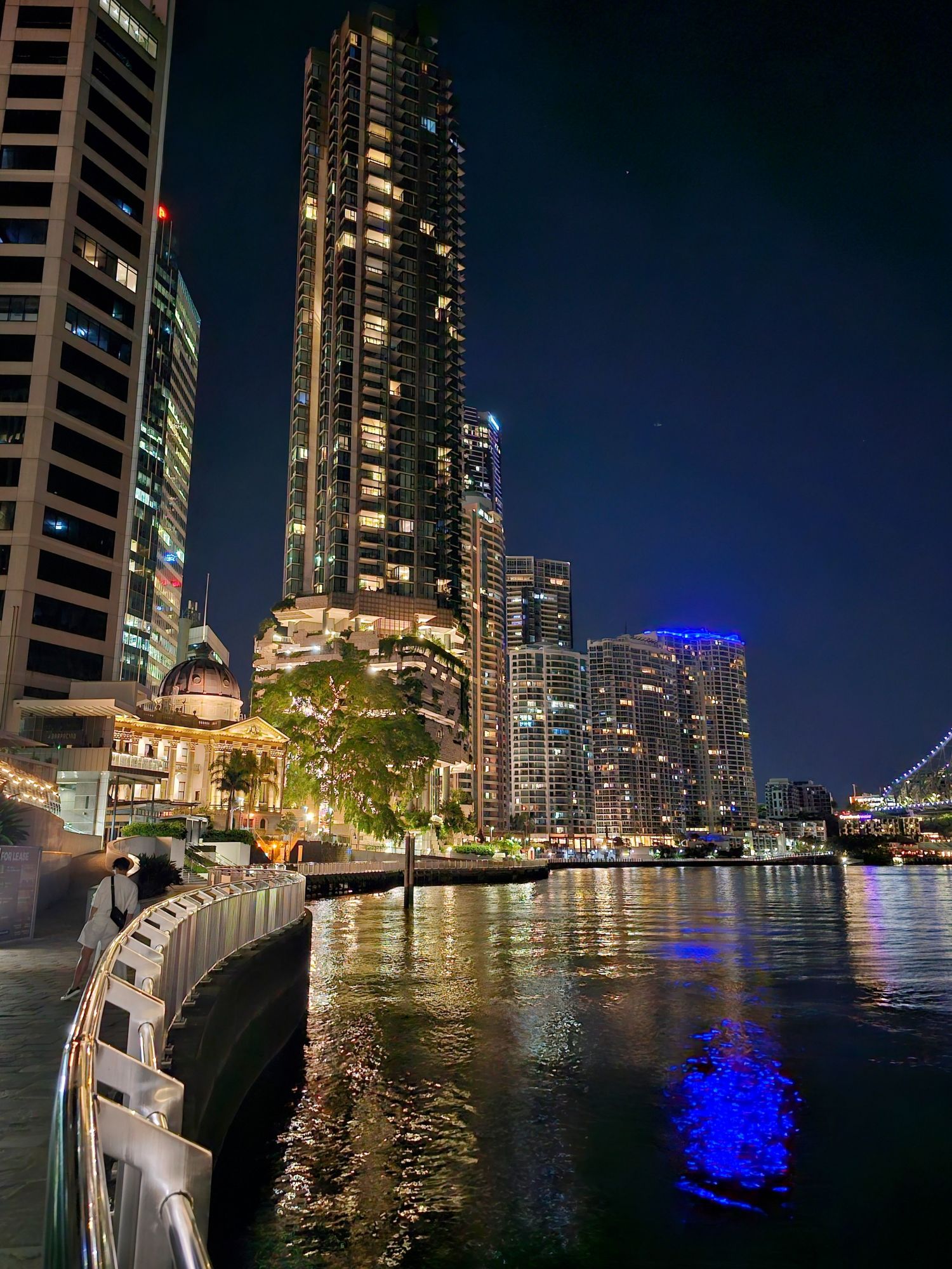
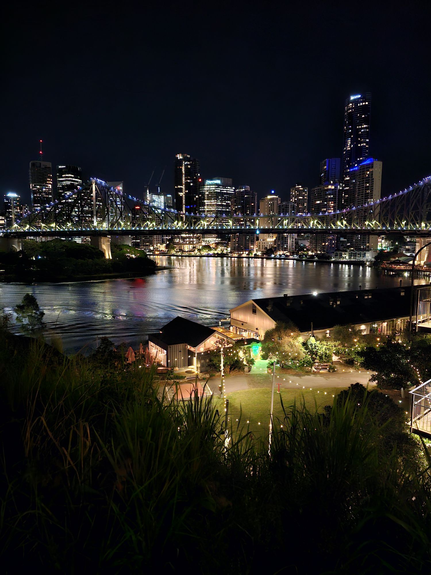
On our first night in Brisbane we had dinner with Ian and Sherril McKay, who we met earlier on this trip at Saffire Freycinet. On the walk to/from dinner I took a few shots of the Brisbane skyline at night (we should have taken a photo of all of us at the restaurant…doh!).
This is the beautiful Story Bridge, with the Brisbane skyline in the background.
The next morning we visited the famous Lone Pine Koala Sanctuary (#1 on Trip Advisor). Founded in 1927, this is the largest Koala Sanctuary in the world. The sanctuary was opened to take care of sick, injured and orphaned koalas, at a time when they were being killed for their fur. Can you imagine killing a koala?? WTF? U.S. President Calvin Coolidge actually banned the importation of Koala fur into the US, likely saving the species. Before the ban, hunters were getting $10/pelt….which equals about $185 in today’s dollars, so the incentive was high, and they aren’t exactly hard to find.
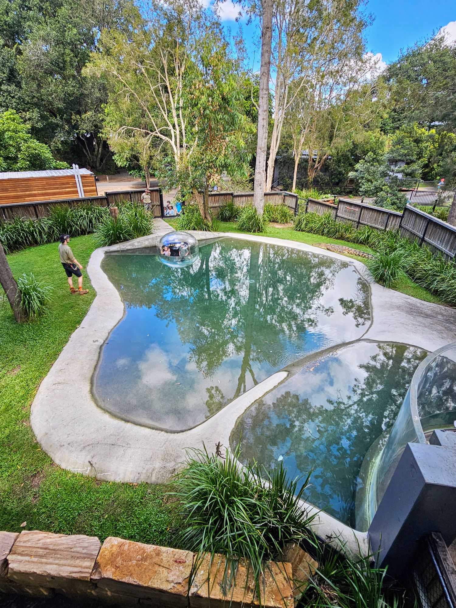
The first spot we stopped was the Crocodile enclosure. If you look hard you can see a Croc on the right. We saw him later that day, and he hadn’t moved an inch! He’d make a great US government worker.
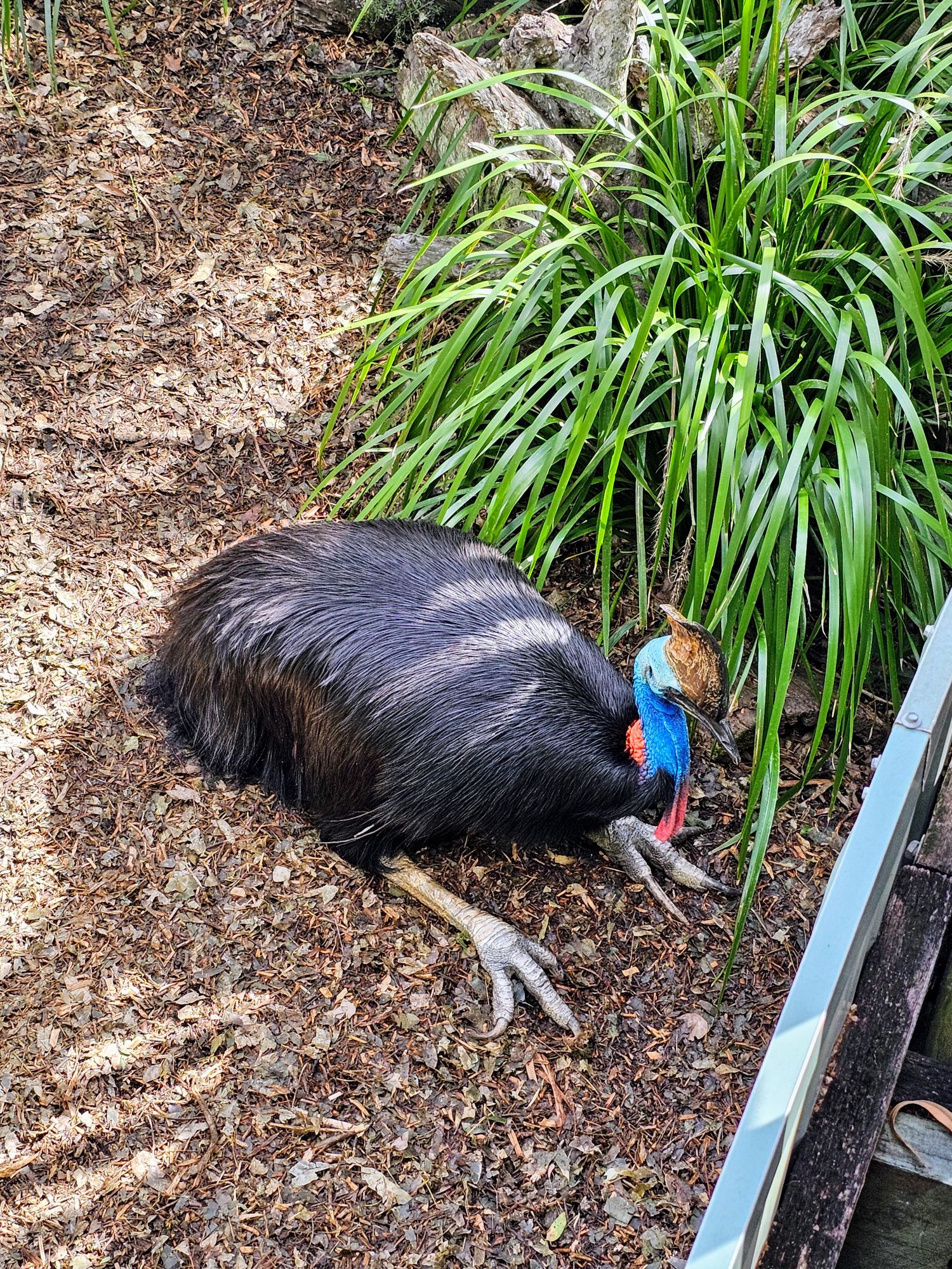
We walked by a Cassowary enclosure and saw this poor bird who just looked miserable. I’m sure there is a good reason for him to be here, but it was sad to see him just sit there. This is perhaps the most majestic “flightless” bird!
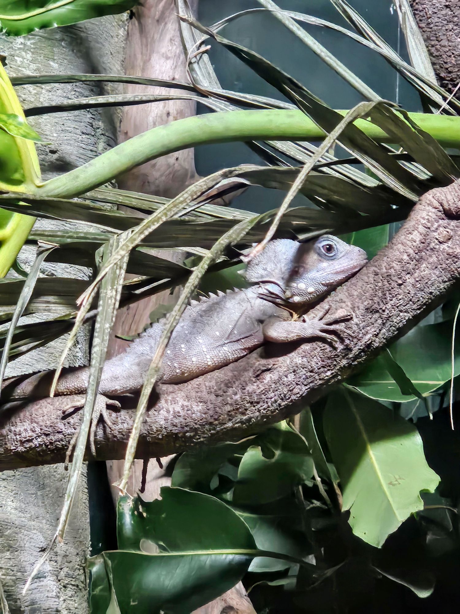
There is a reptile house where we saw this “Boyd’s Forest Dragon”, a rather rare lizard. This guy was hard to spot at first!
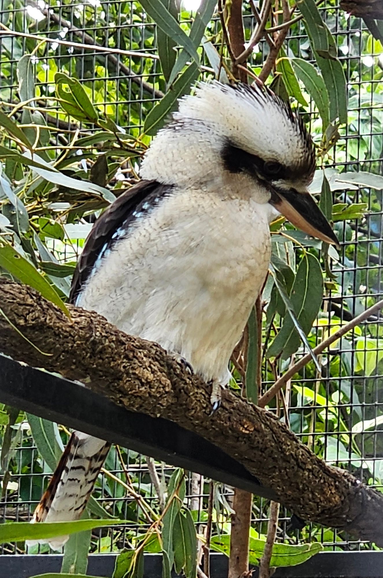
We saw one in the wild in Strahan, Tasmania, but I was able to get a lot closer to this Laughing Kookaburra. He didn’t make a sound, so I still have no idea what they really sound like.
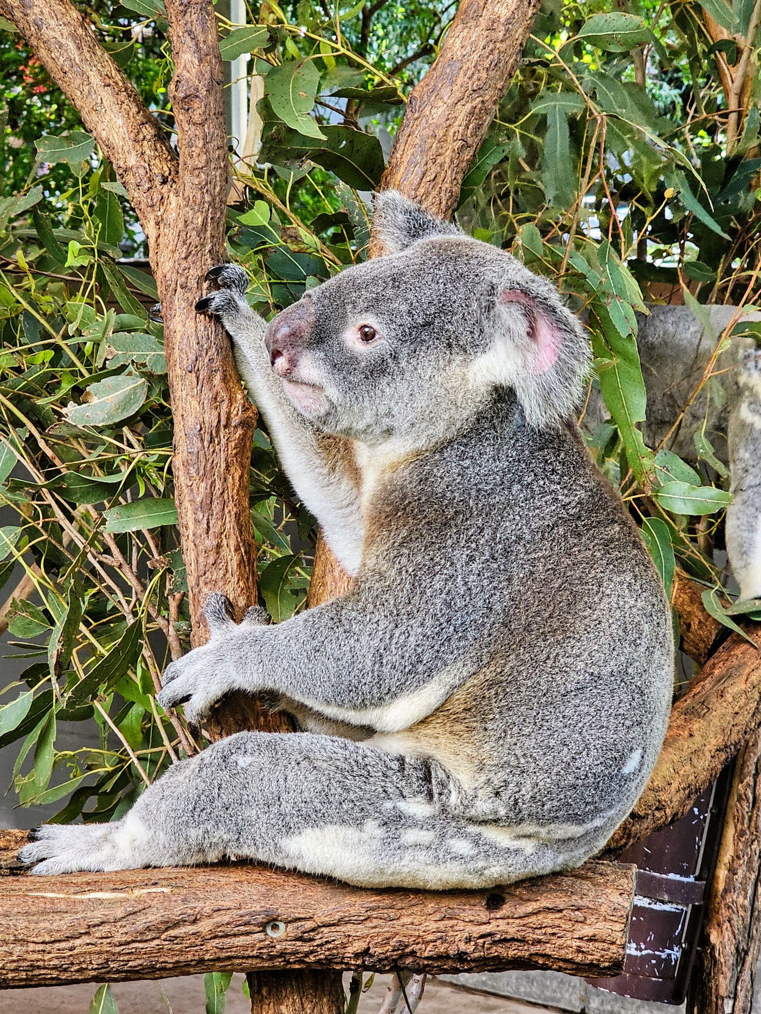
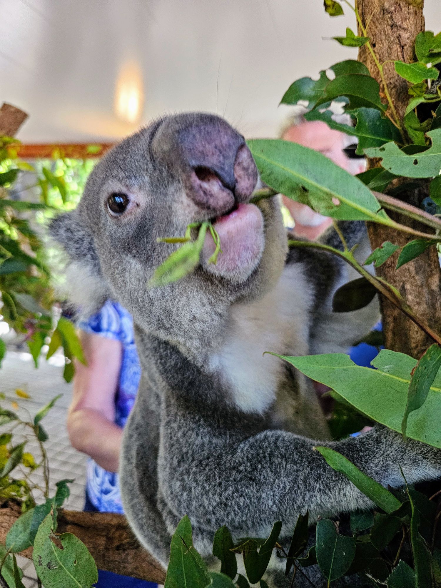
We then had a private tour called the “Koala Discovery Tour”, which was an in-depth introduction of the Koala’s in the sanctuary. This cutie was a focus as our guide talked about how they check on the koalas health on a daily basis.
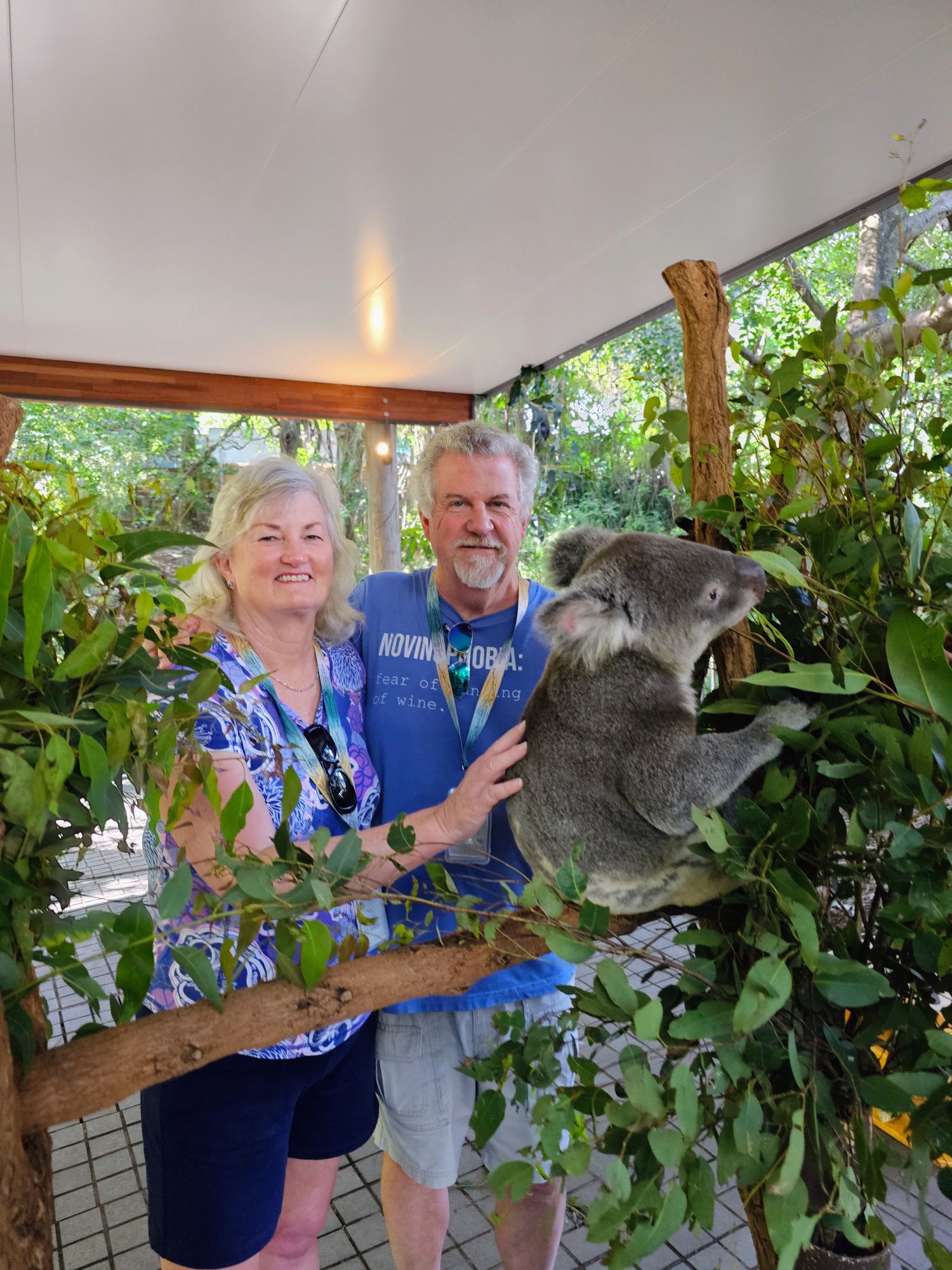
We got a chance to pet a Koala for a few minutes, which was quite cool. When we first booked this trip in March 2020 (remember Covid?) you could actually hold the Koala’s. That unfortunately is no longer allowed. Still, at least we could get close and pet the little bugger. They are very soft!
I don’t think they ever stop eating!
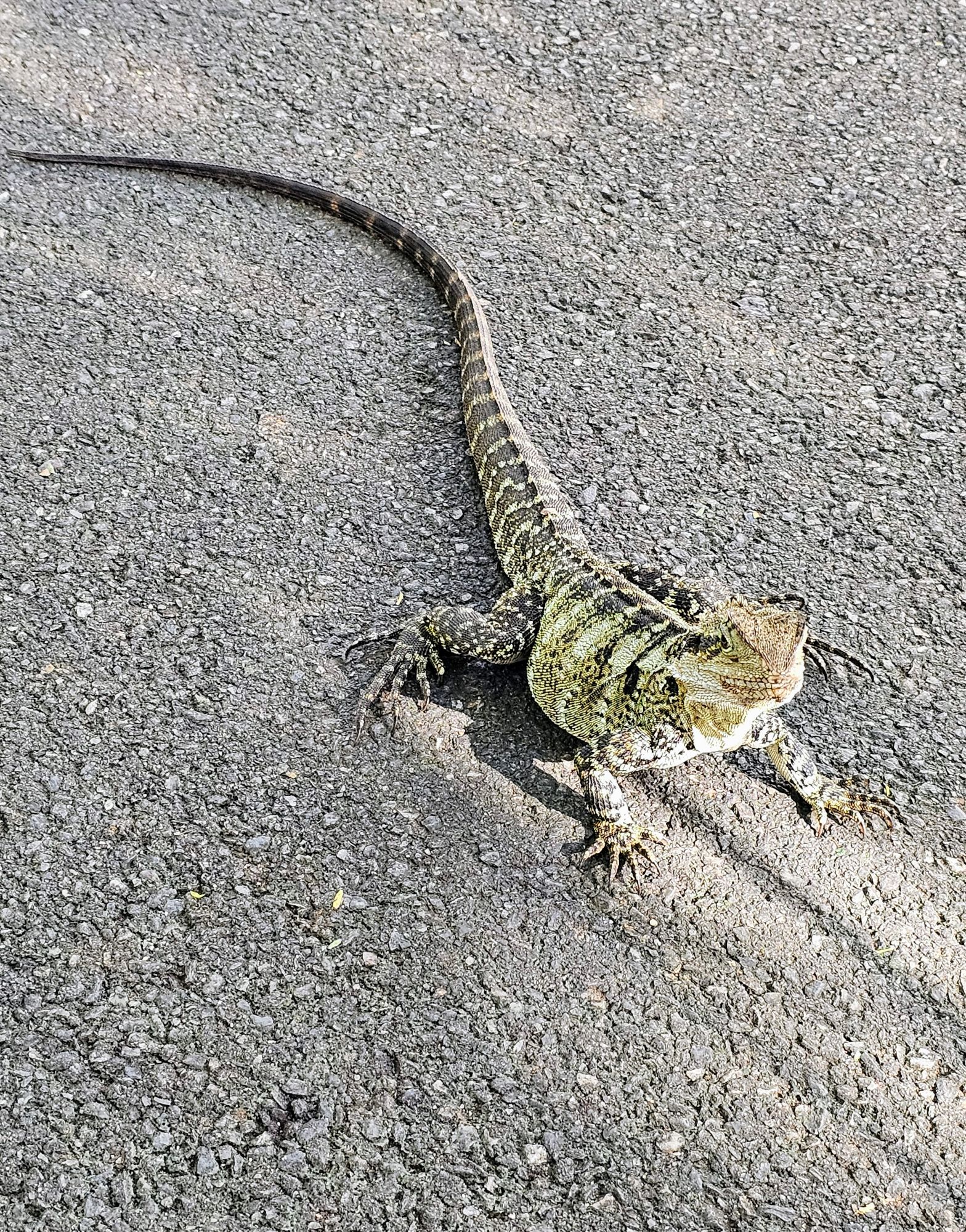
These “Eastern Water Dragon” lizards were everywhere on the grounds of the sanctuary. Some little kids kept chasing them. I just wanted to watch one turn around and bite one of the little bastards. Oh well, I’ll have to get my joy elsewhere.
Our next encounter was feeding a Platypus. We went behind the scenes of the enclosure and tossed a whole bunch of worms into the water, then went back around to watch them eat. I found it interesting that this guy picked up the worms from the bottom of the tank and then floated to the surface to eat them. I also thought the circular style of swimming to the bottom was interesting.
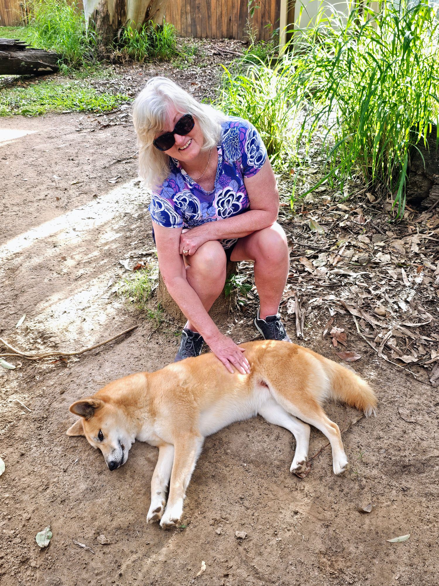
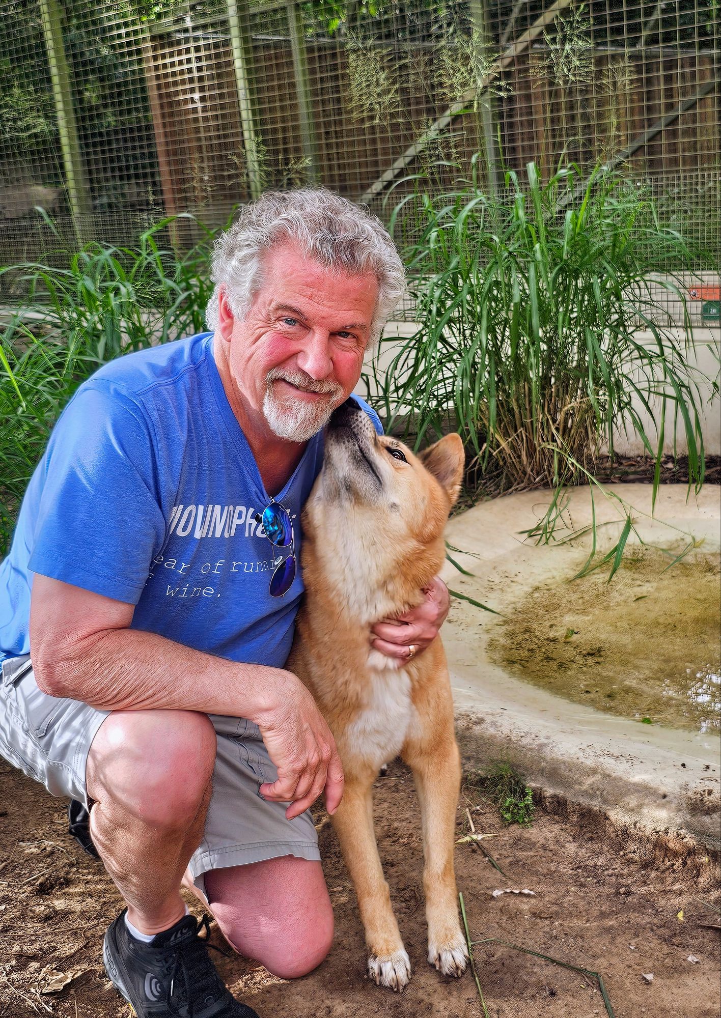
We had one last special encounter, this one with Australian Dingos. This was my favorite encounter, very cool!
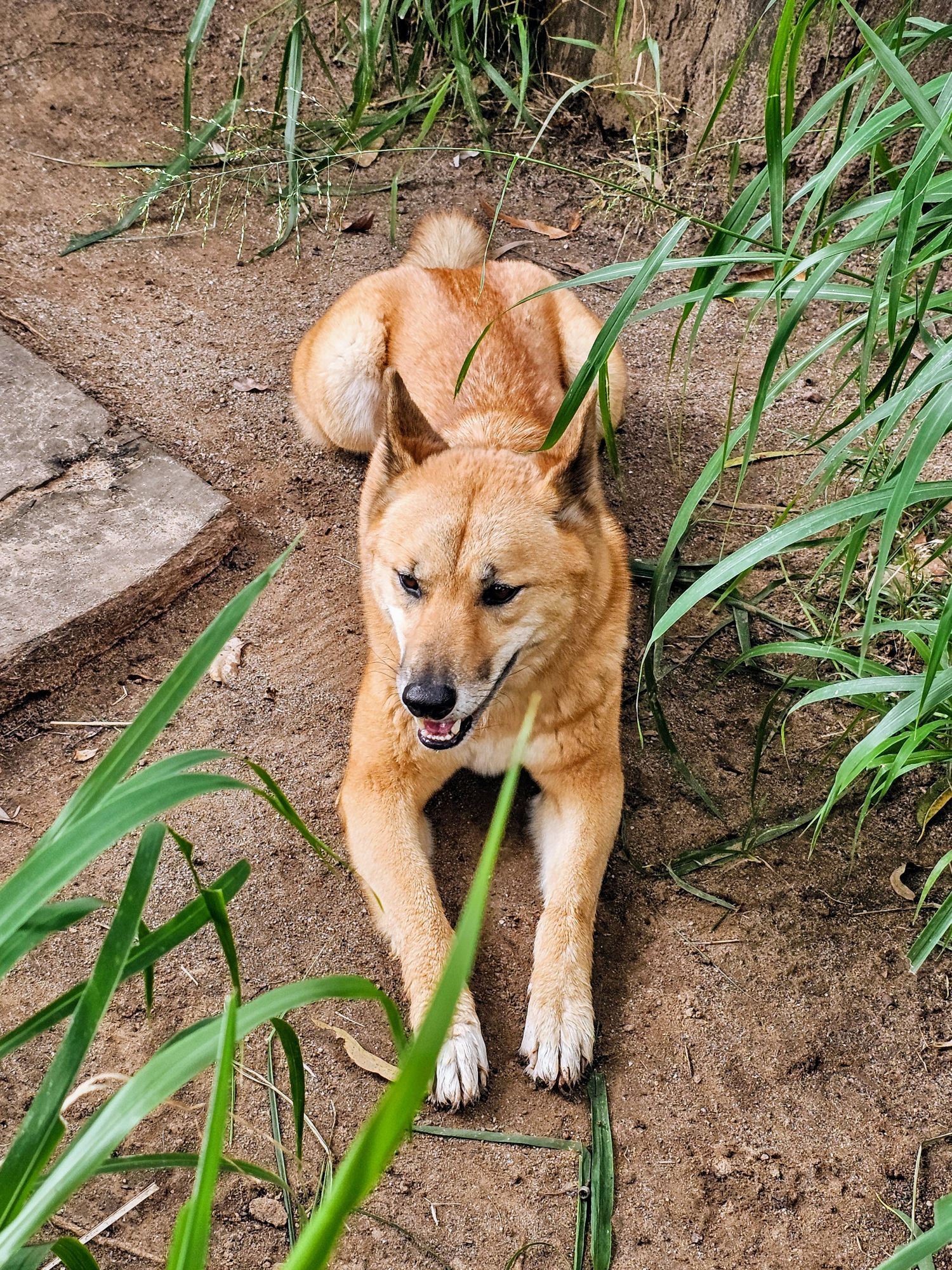
The Dingos don’t behave like you’d expect a dog would. Our guides said they were much like cats, where they love the initial attention and then just want to be on their own. This one decided to sit down away from us.
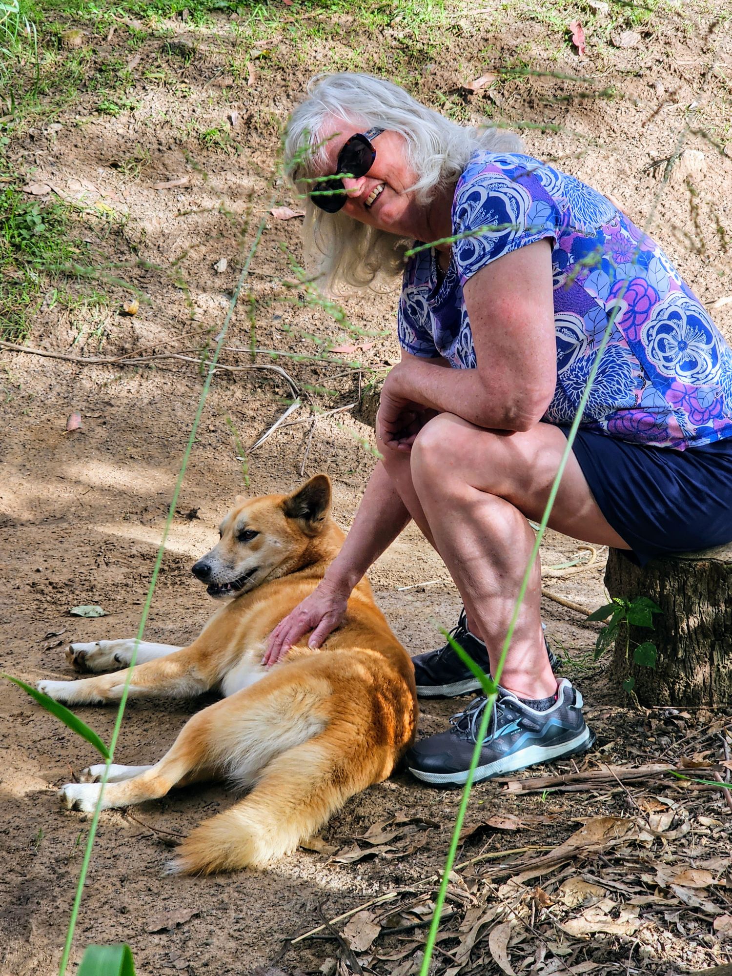
While this one was eating up all of Kim’s attention! Apparently this behavior was quite unusual. I think it’s Kim’s connection to dogs, to which our dog Corky can attest.
I apparently have a bit of a connection to dogs (and Dingos) as well!
A final perfect pose with the Dingos! What a great “must-do” experience!
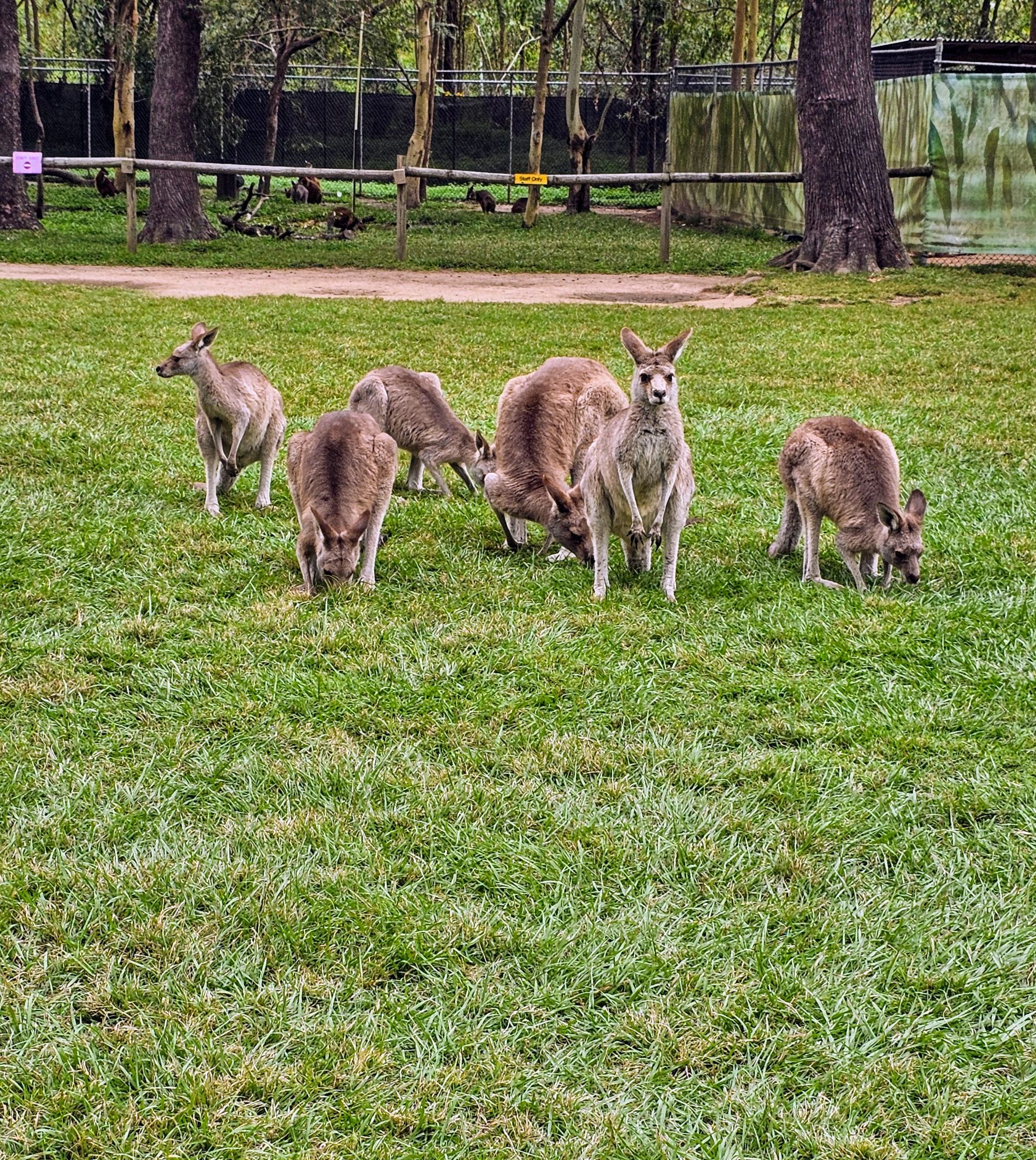
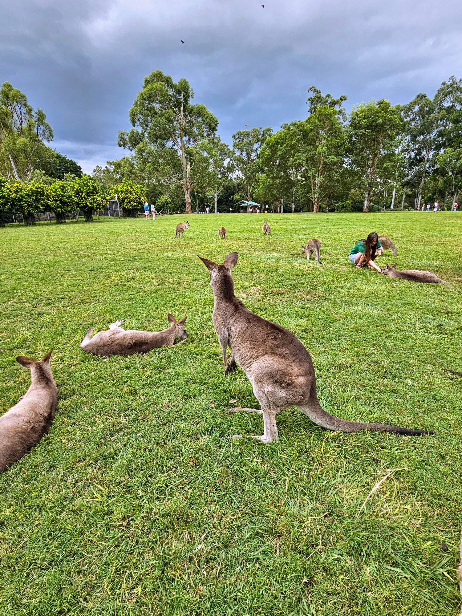
Lastly, before we left the Sanctuary, we visited the Kangaroos, of which there were many!
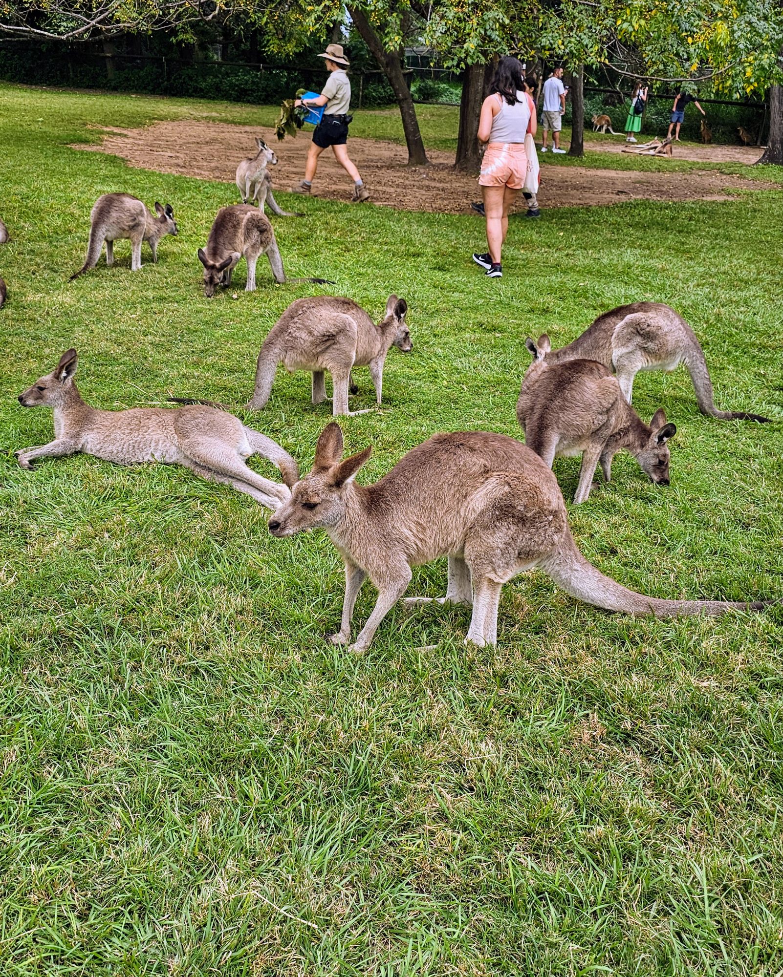
They are incredibly tame, as they are being fed by hand with specific feed the sanctuary sells….all day long. This explains their rather lazy appearance. They almost look stoned. Not even almost! Look at the below photo…it looks like a bunch of hippies at a Grateful Dead concert.
More lazy Kangaroos. I only took this photo to show the darkened sky heading our way. The weather was perfect all day, but that was about to change.
This was a great visit, and we highly recommend it. Interesting note, General Douglas MacArthur was stationed in Brisbane during WWII, and when his wife visited the Sanctuary it made huge headlines, giving the place international fame!
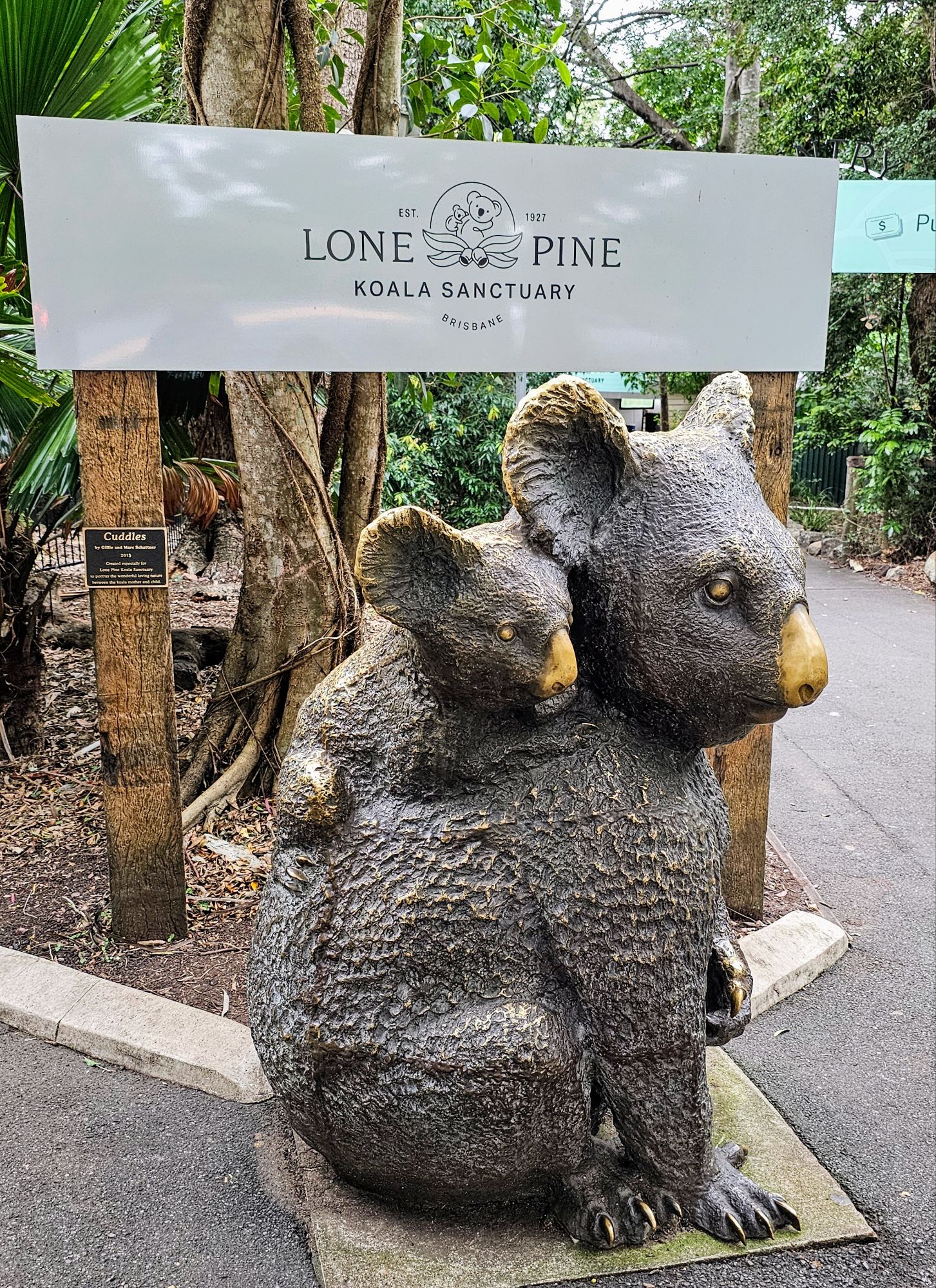
This large sculpture sits just outside the entrance to the Sanctuary. A fitting sculpture to what lies within.
Coming up, we spend one more day in Brisbane, visiting a couple of museums since it was raining off and on all day.

