The drive from Mount Cook National Park to Kaikoura is about 6.5 hours. Still, with some of the beautiful scenery along the way, it was way better than driving from the Bay Area to Los Angeles, which is one of the most horrifically boring drives on the planet. Driving on the moon would be more scenic….wearing a blindfold!
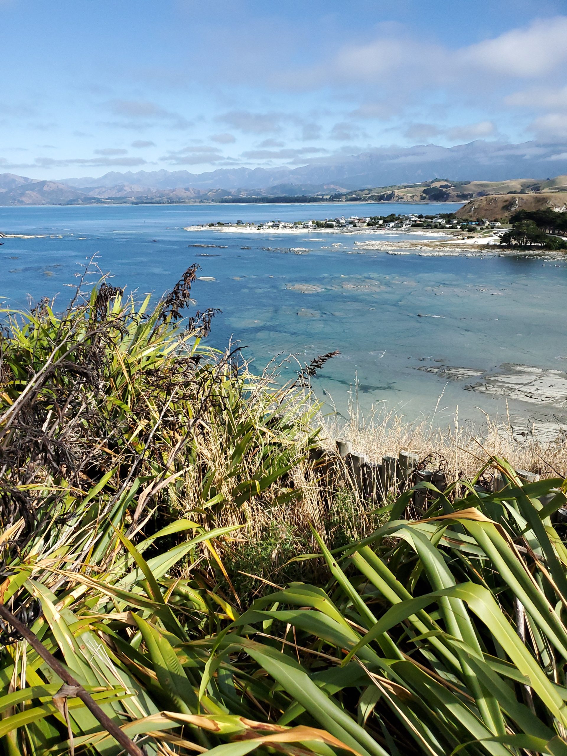
Kaikoura is a stunning peninsula surrounded by crystal clear water that has at least 5 shades of aqua.
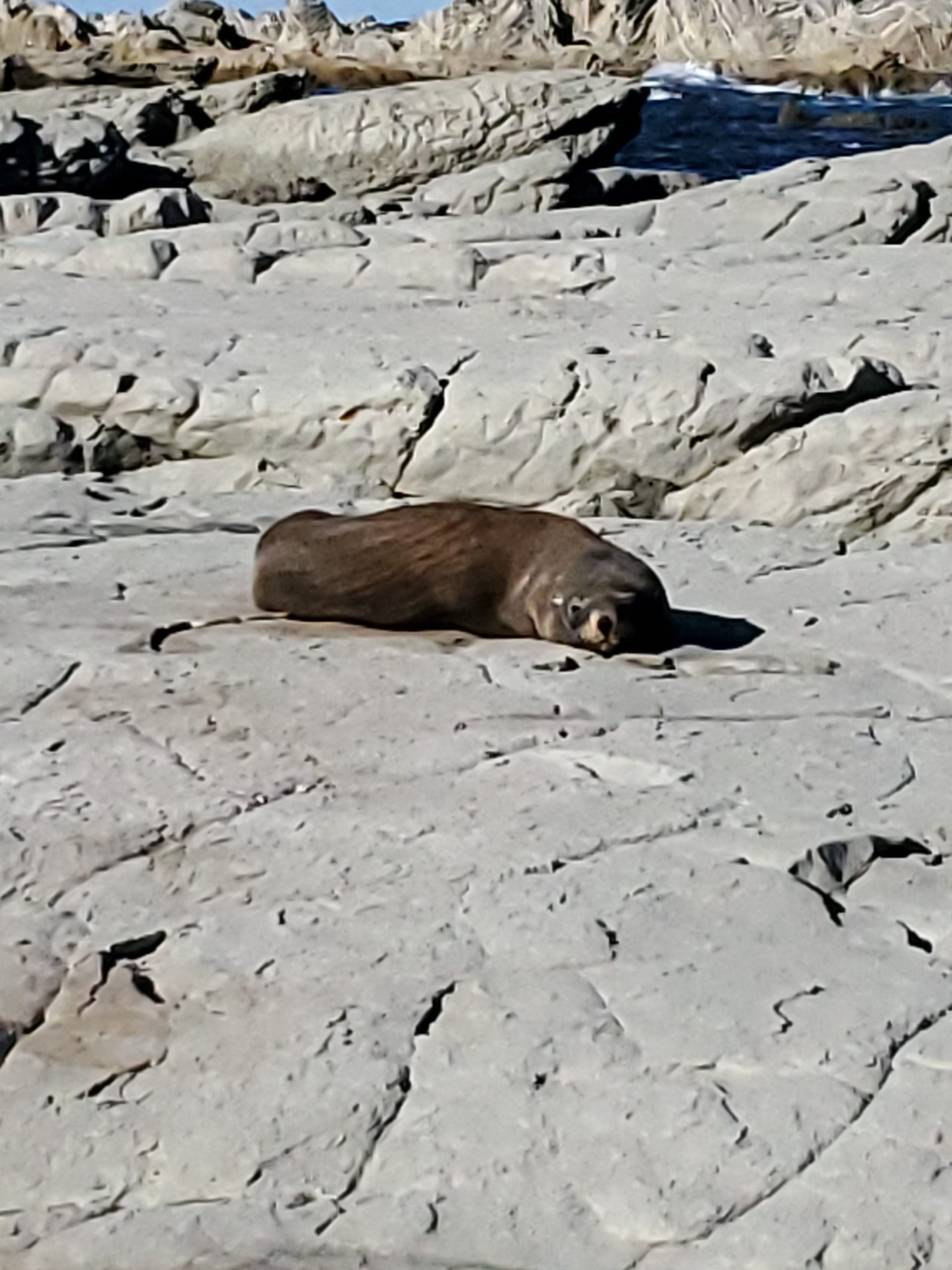
There are multiple fur seal colonies on the peninsula, but most of them are smart enough to find a spot where you have to wade across the water to get to them. This guy obviously took the short bus to school.
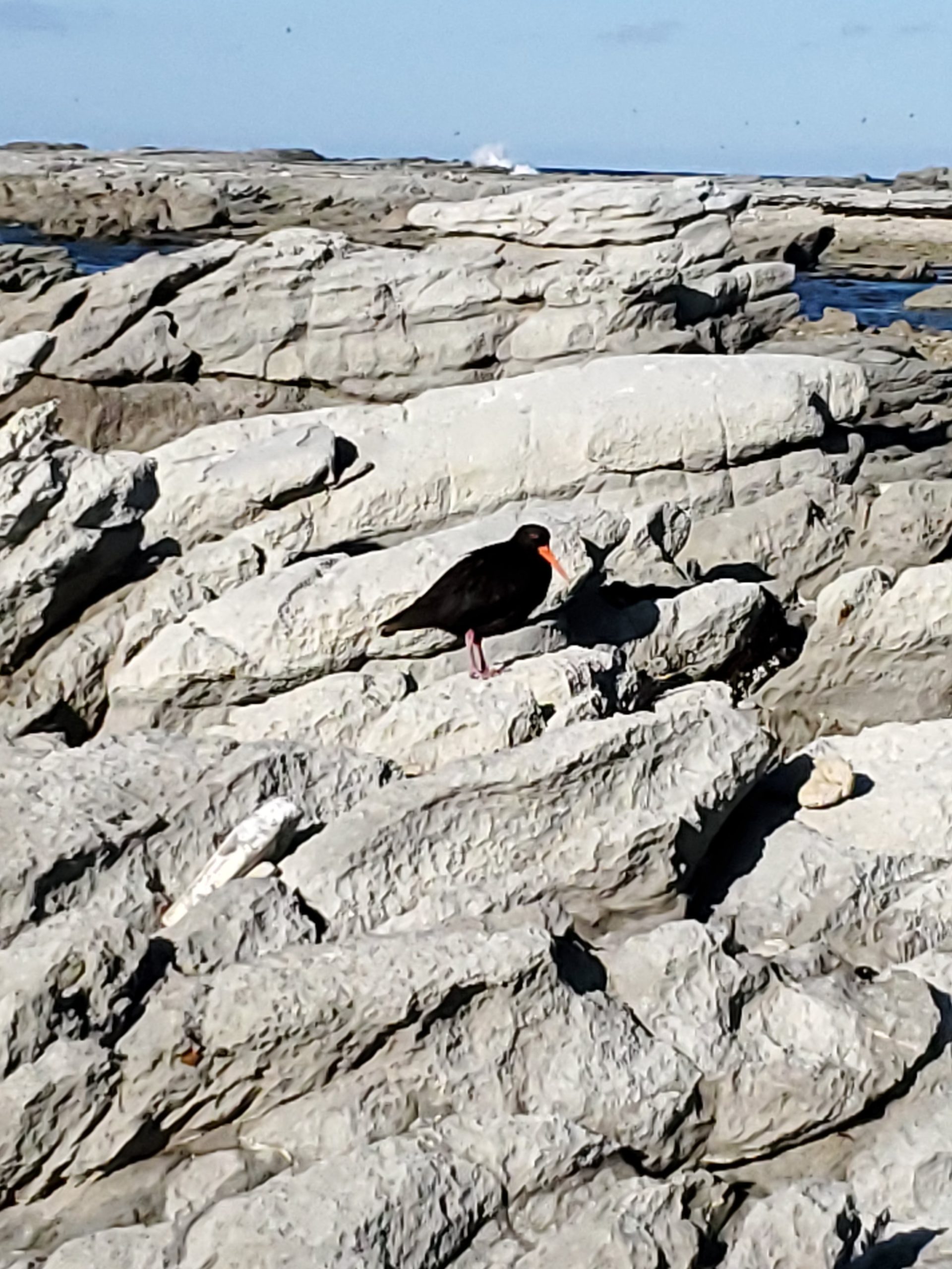
This Oyster Catcher was giving me quite a speaking-to since I was too close to his?/her? chick. I don’t know who wears the pants in the Oyster Catcher family.
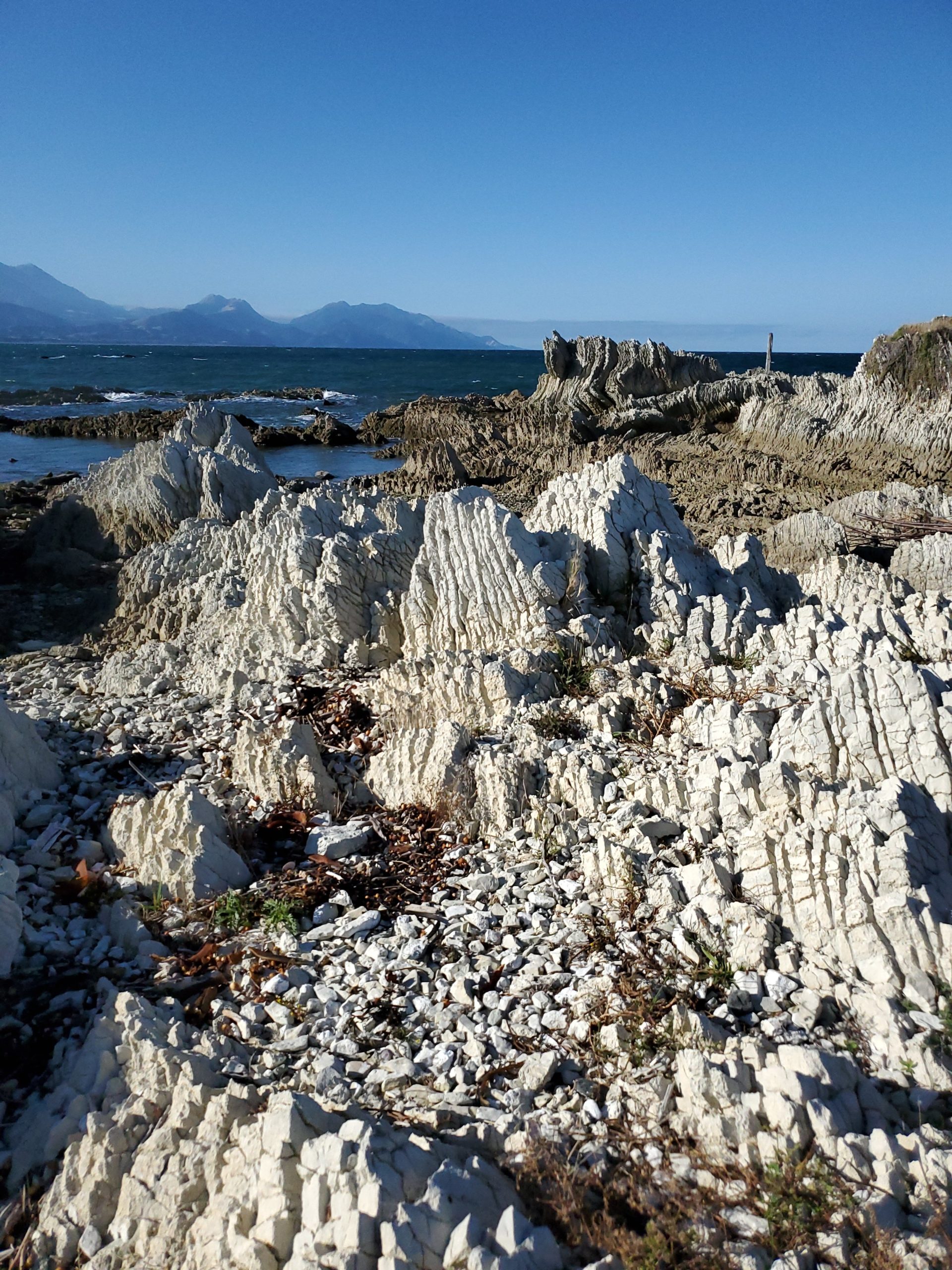
Punakaiki has their pancake rocks, but here, the rocks are sideways. Same limestone formation, just uplifted differently. So what do we call these? Taco rocks? Let me know your thoughts.
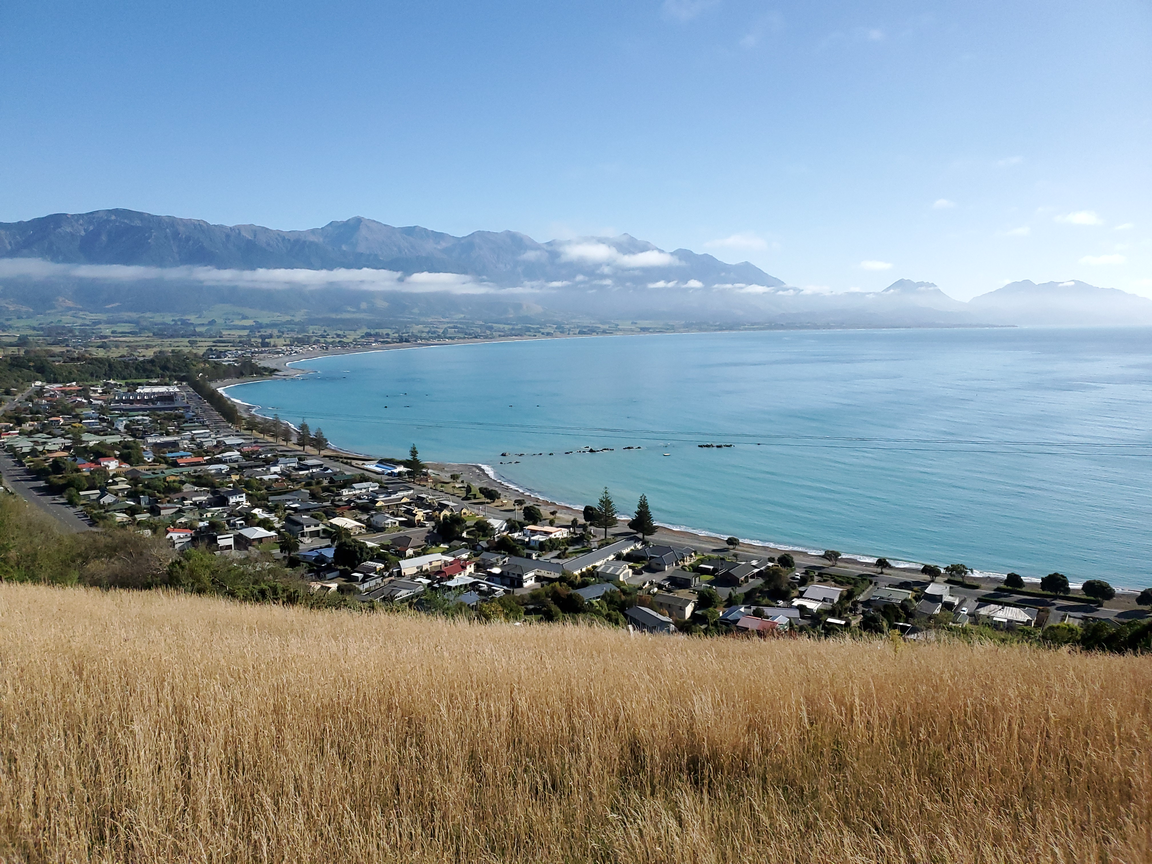
There is an overlook at the top of the peninsula that shows off this beautiful small town.
Speaking of beautiful, we ate at Zephyr, and it was so damned good.! Wish we had a place like this in Livermore! We actually do have a “Zephyr” restaurant, but it couldn’t compete with this place. Click the above link and go if you happen to visit, but make a reservation…they turned away a lot of people while we were there.
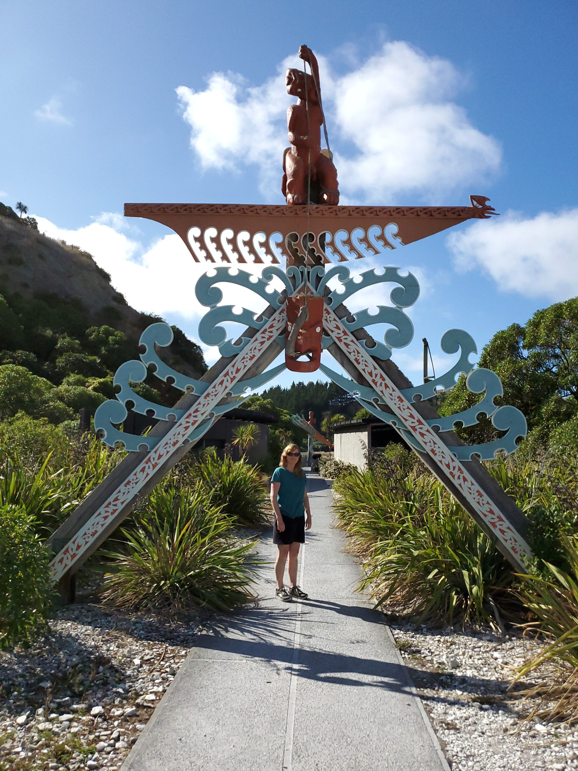
At the beginning of the track on the south bay of Kaikoura, there is this Maori archway. We saw a lot of these dotted around NZ.
About 20 minutes north of Kaikoura is a spot on the road called Ohau, not to be confused with Oahu. There is a huge fur seal colony on the rocks here that stretches for miles in either direction. Lots of fur seal pups playing in the water as well. Well worth a stop!
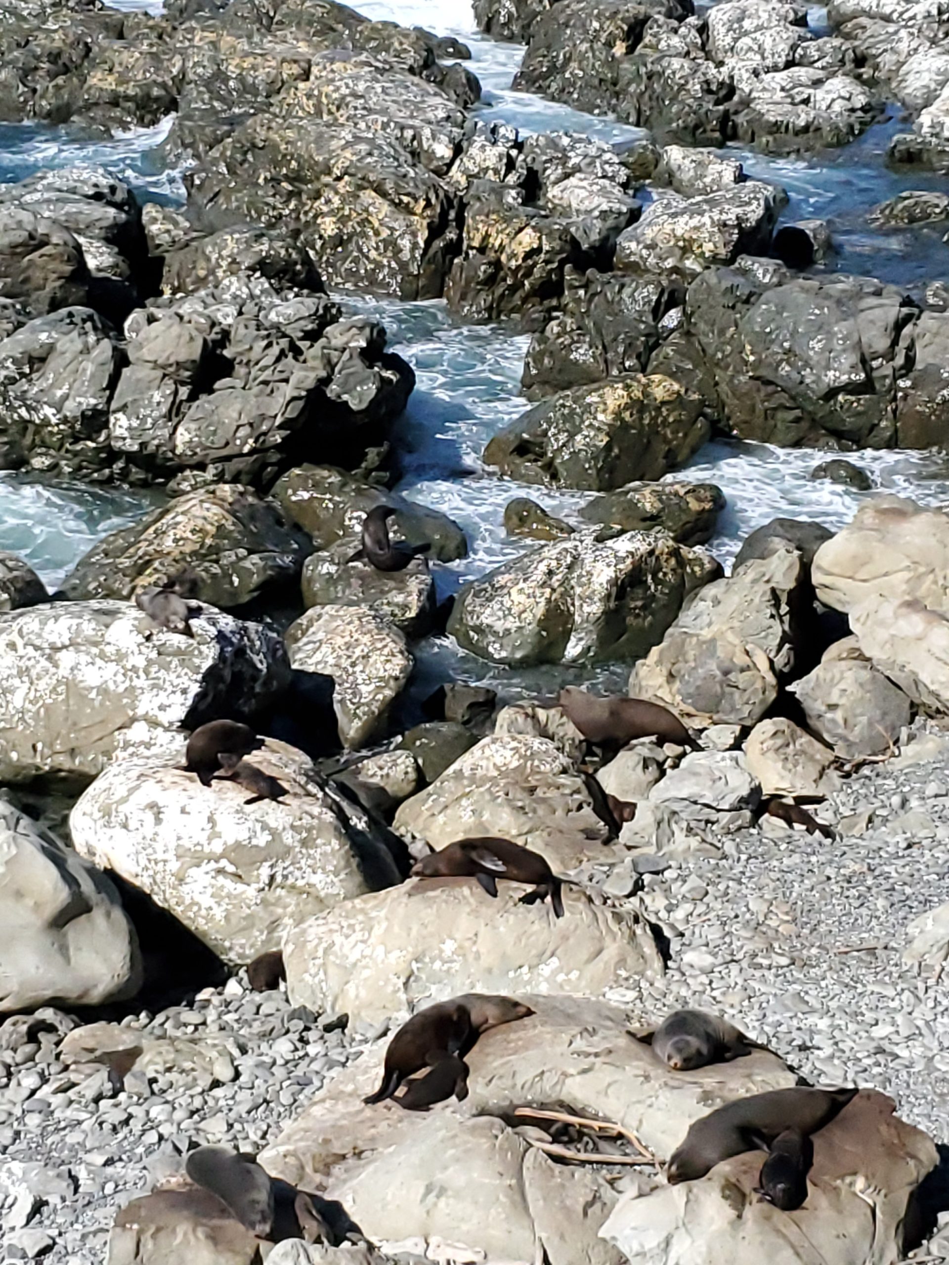
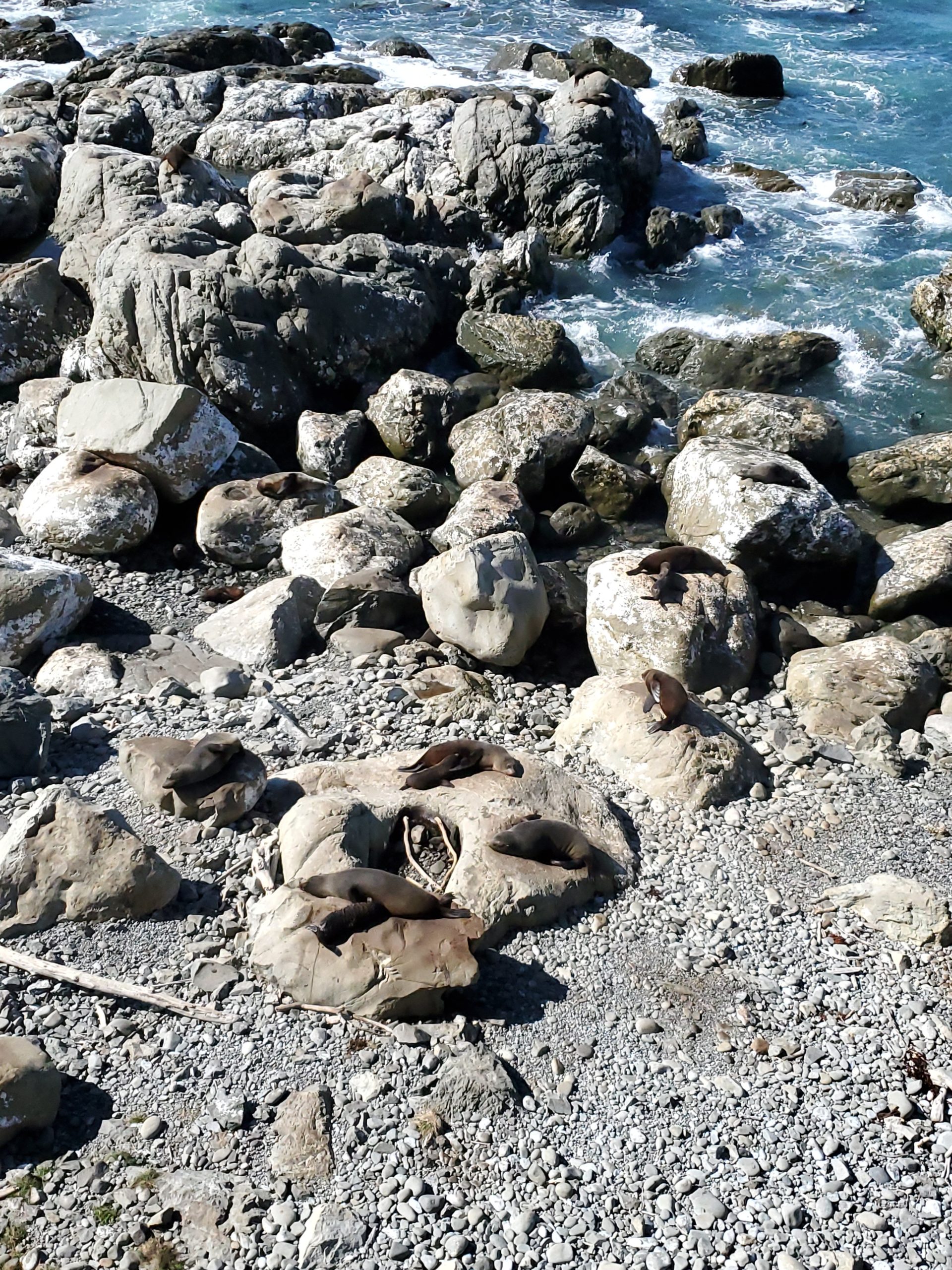
There had to be several thousand seals along this stretch of the coast.
Across the road is a hidden trail to Ohau Falls. I had picked this spot out to visit a long time ago based (apparently) on an older blog post. The trail has been closed due to large rock slides from the Kaikoura earthquake of 2016 (a 7.8 quake!). Our B&B host told us the trail was still doable, so of course I sought it out and went for it, with Kim in tow.
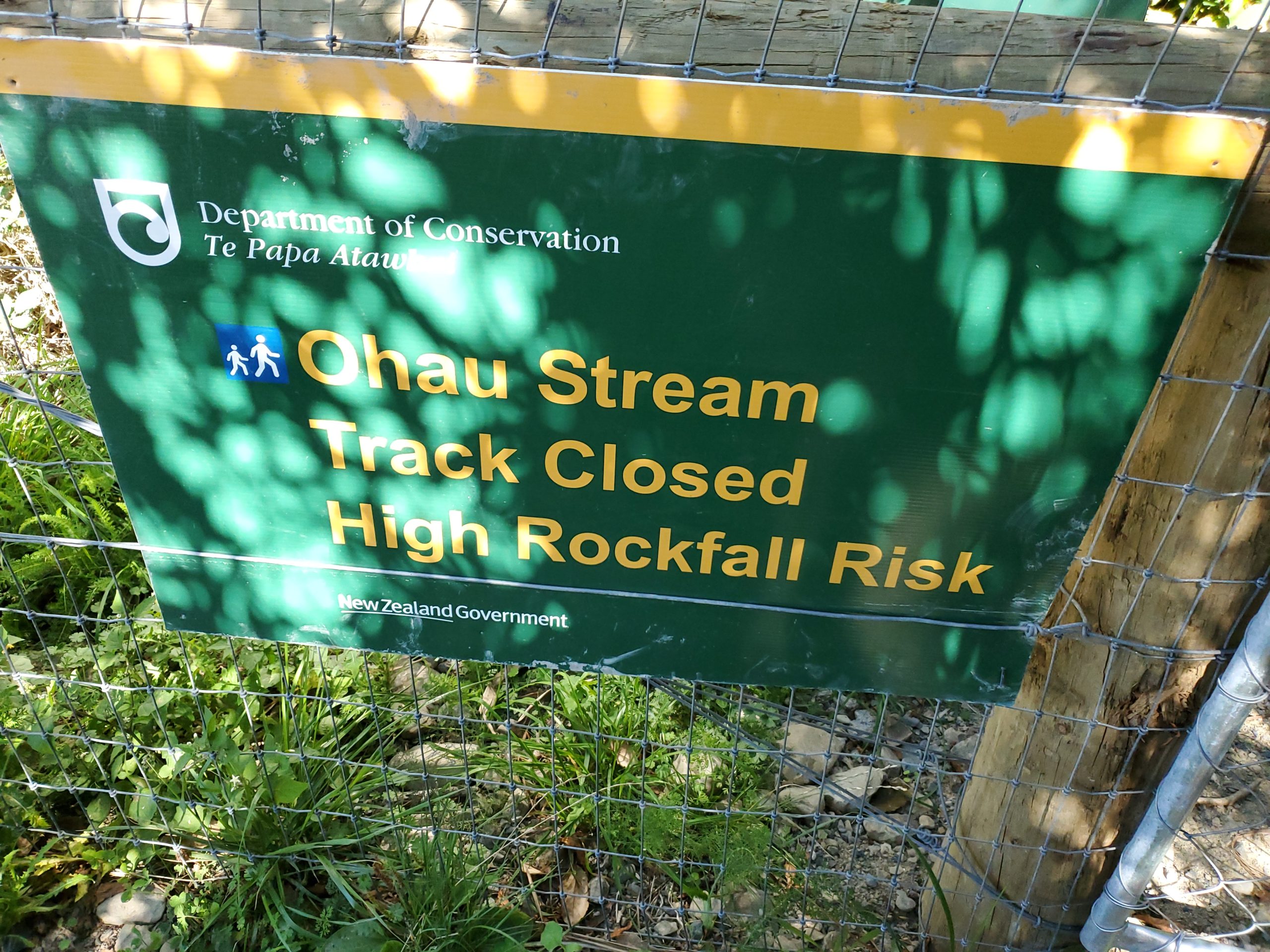
There is a gate to go through (to the right of the above sign), and I worked to free the chain to open the gate, not realizing there was no fence on the right side of the gate! I only discovered this on the return trip.

The trail was fine for the first third, and then a rock slide clearly stood in the way. We made it across the rock slide, but then there was a fairly vertical drop of about 50 feet that would not have been safe for Kim to navigate (not that it was safe for me, but life on the edge baby!).
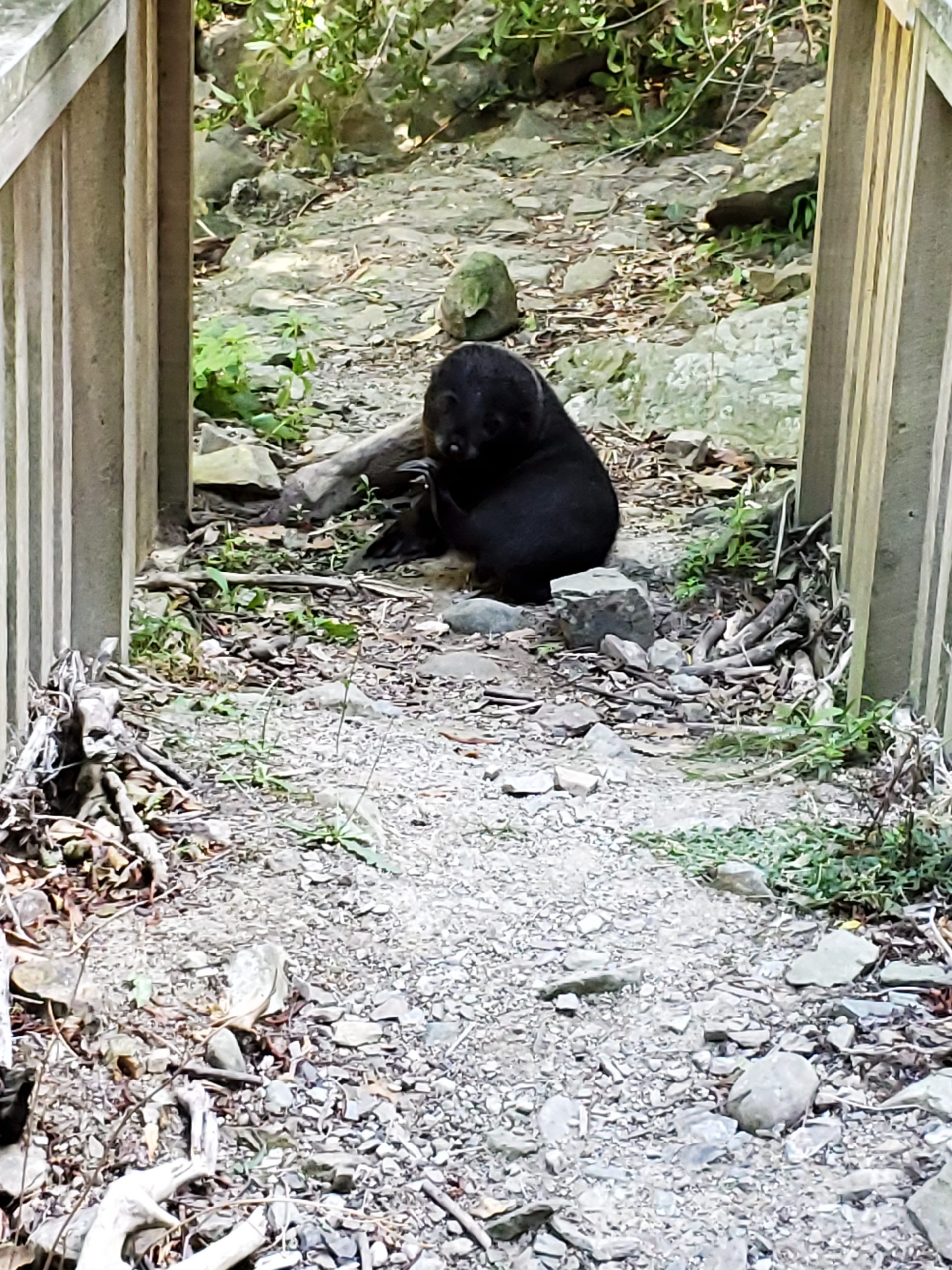
At the bottom of the steep hill were pools of water with about 6 fur seal pups playing away! No sign of adult seals anywhere.
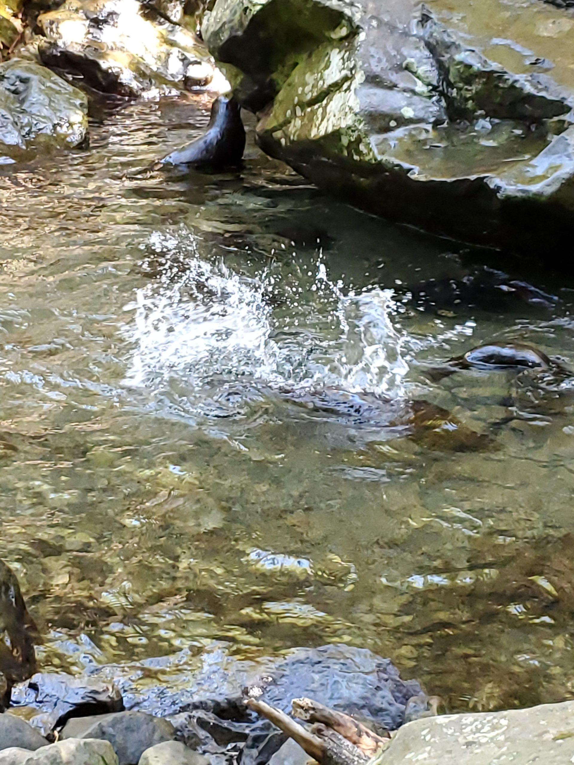
Shortly after the playful pups I came upon a very battered bridge that had this fur seal pup blocking my path. I kicked a few sticks in his general direction, but he was not moving….no way. After a few minutes of hand gestures and tossing sticks I gave up….as Kim was waiting up above. I never made it to the waterfall, and I have this little guy to blame. He’d make a nice jacket! Or maybe a shawl?
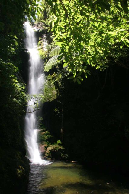
Here is a photo from the internet of what the little guy was blocking me from seeing. Apparently there are usually fur seal pups right under the waterfall. Maybe next time we get out this way!
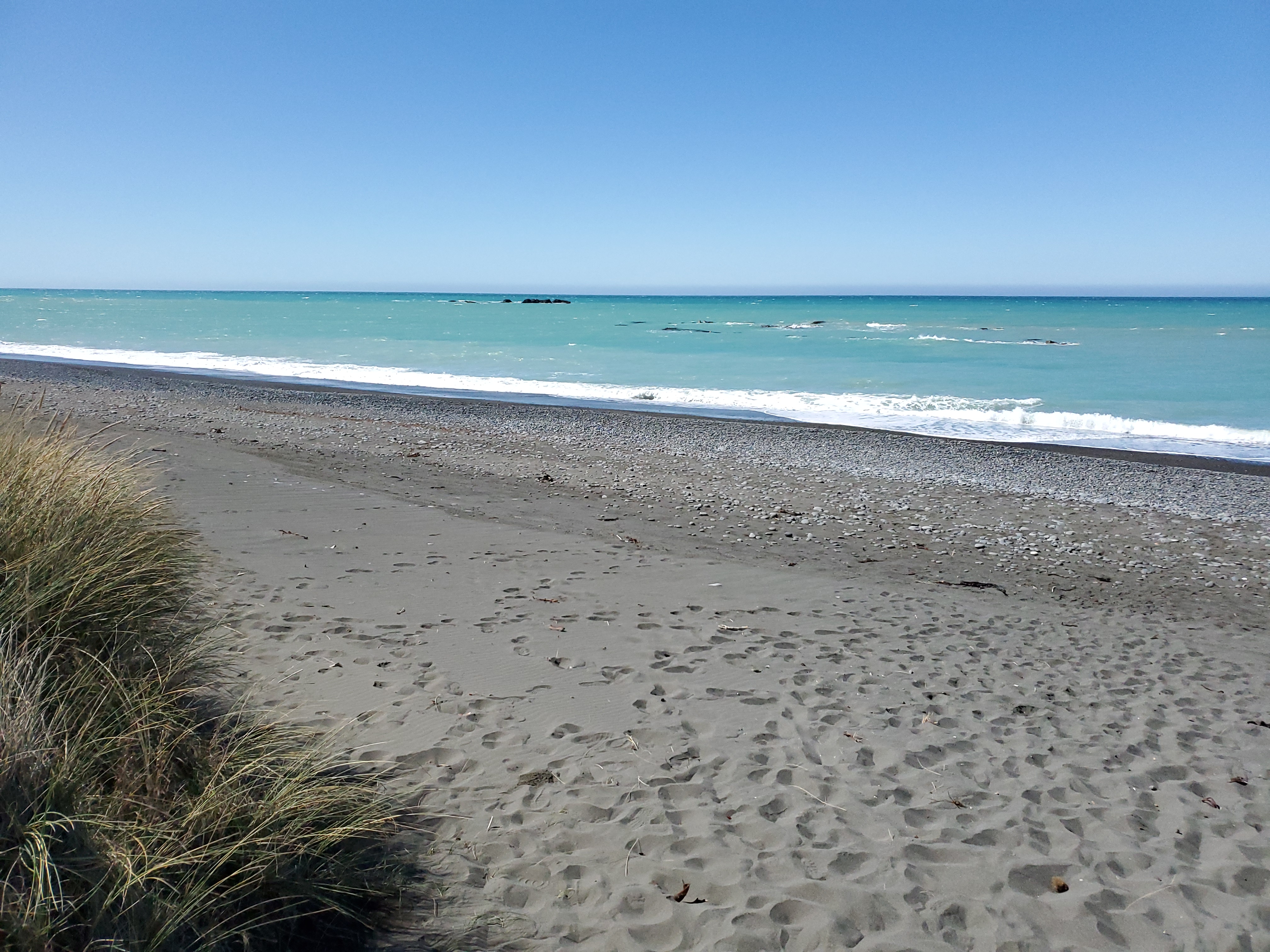
Yet another beautiful beach on the way to Picton. The beaches here are so plentiful and beautiful.
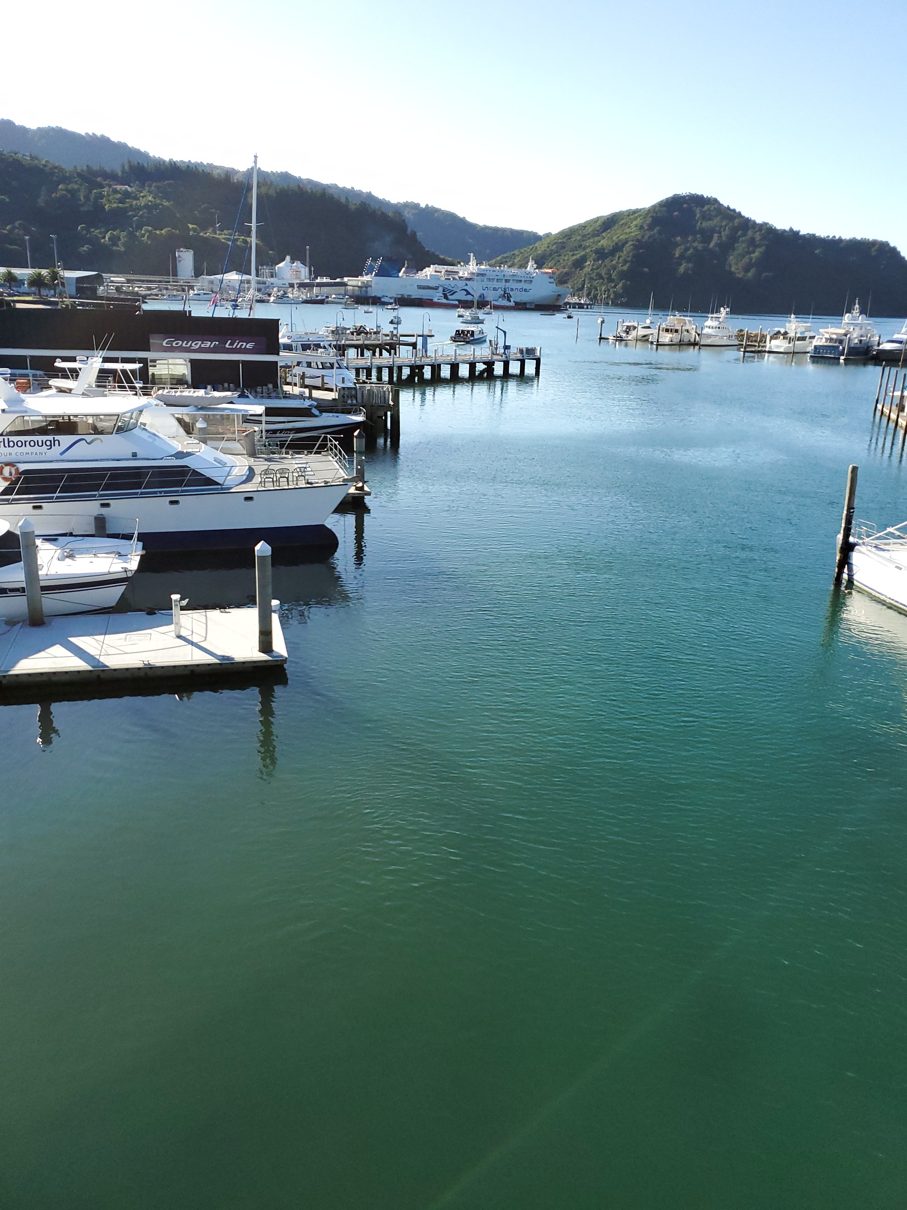
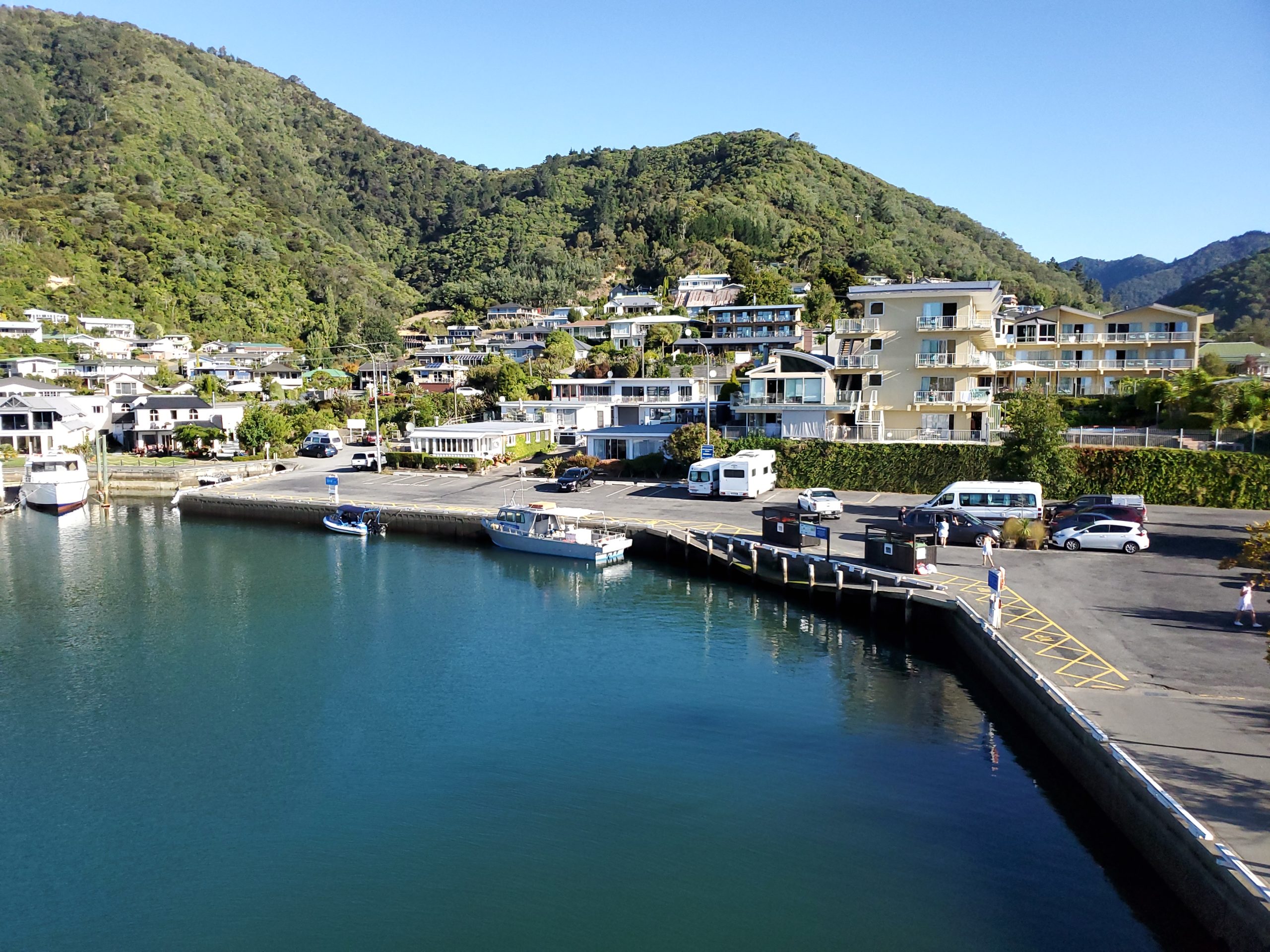
We arrived in Picton and walked around, and there isn’t much here. This is primarly just a transfer point to get on or off the ferry, as well as a cruise ship port, but the bulk of cruise ship passengers better have excursions or they will quickly bore of this little city.
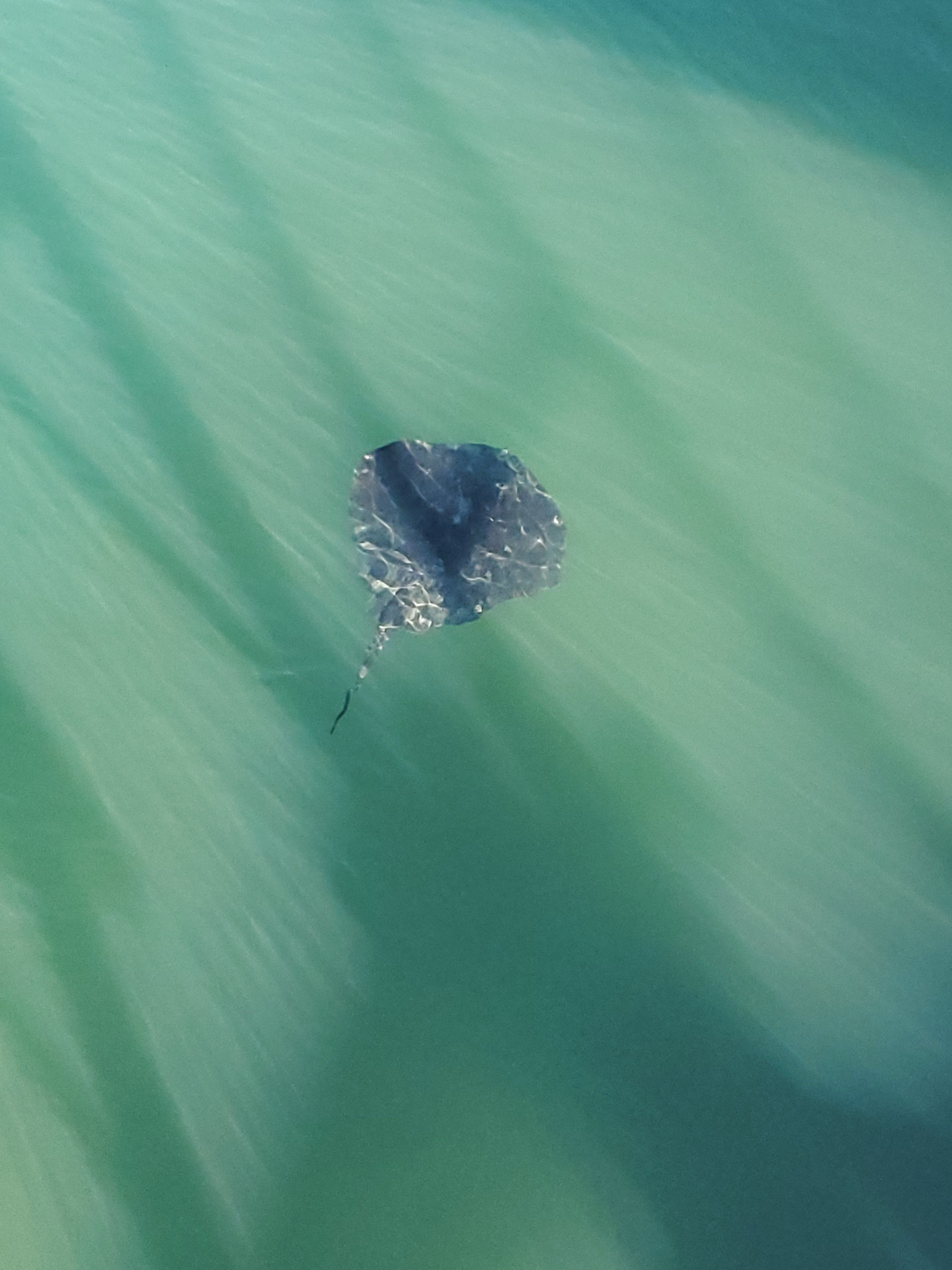
Here is a Manta Ray swimming along the waterfront….excitement……finally!
We had to be in line for the ferry at 6:30 AM. I don’t think we’ve woken up by 6:00 AM since we retired!
Next up, Covid-19 changes our plans!