Pretty much the only reasonable place to stay while visiting Rocky Mountain National Park is Estes Park. This is a cute town just outside the east park entrance. The last time we were here we stayed at the Stanley Hotel in one of the supposedly “haunted” rooms. For those that don’t know, a one night visit at the Stanley Hotel by Stephen King gave him the idea for The Shining, which he wrote shortly thereafter.
Outside of The Shining (both versions) playing continuously on a loop on the hotel channel, nothing creepy happened. Perhaps it’s because I’m a skeptic? Regardless, the hotel is beautiful, and the restaurant in the hotel was excellent the last time we were here, so we tried it again. Let’s just say things have slipped, but the place was packed, with a line of people hoping for a table, so make a reservation if you want to check it out. A visit to the hotel is definitely in order if you come to Estes Park, as the place is truly beauful.
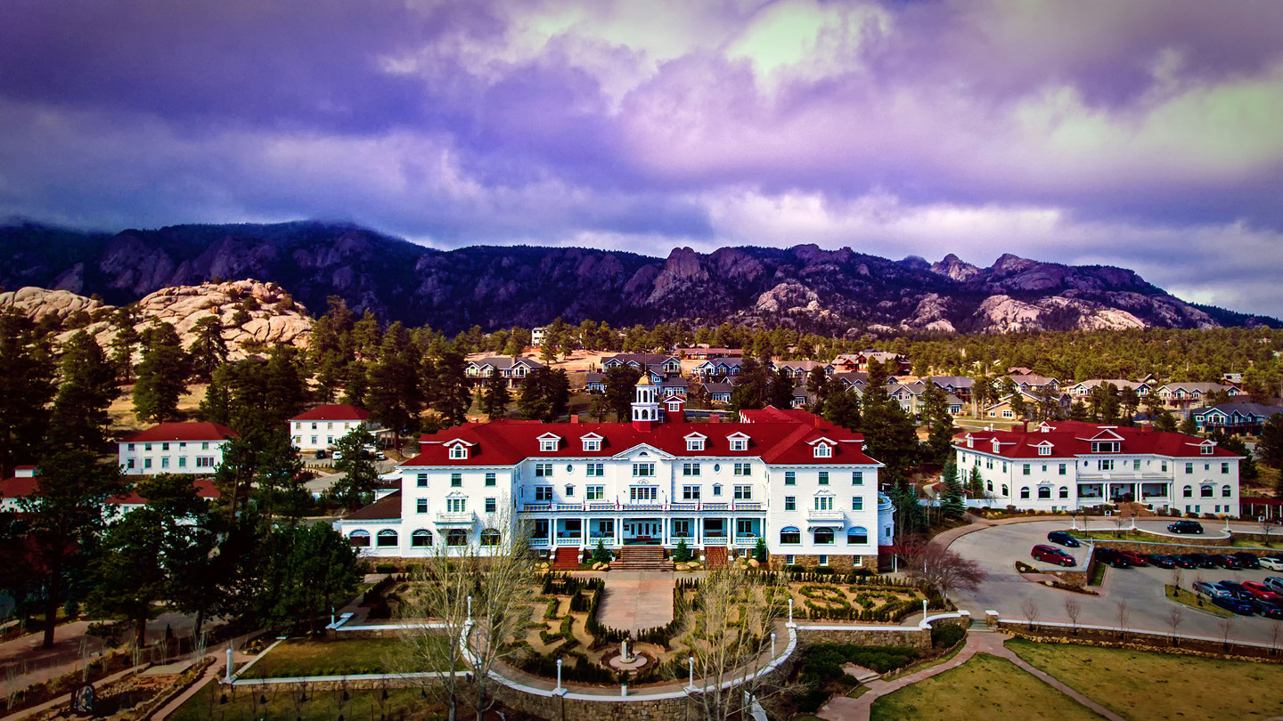
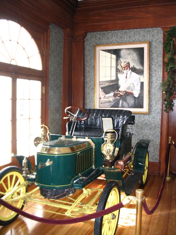
There is an original Stanley Steamer motorcar in the lobby. The hotel was originally built in 1909 by Freelan Oscar Stanley, who invented the Stanley Steamer.
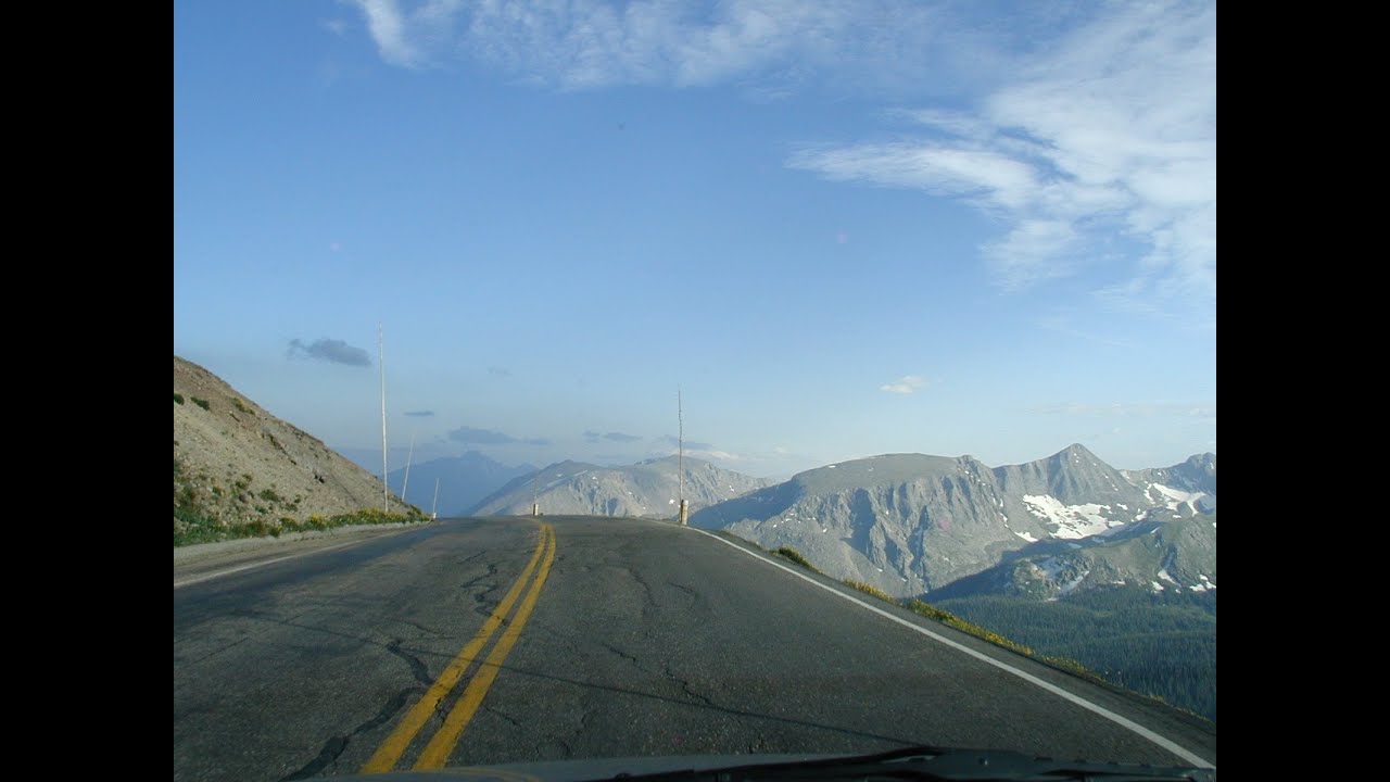
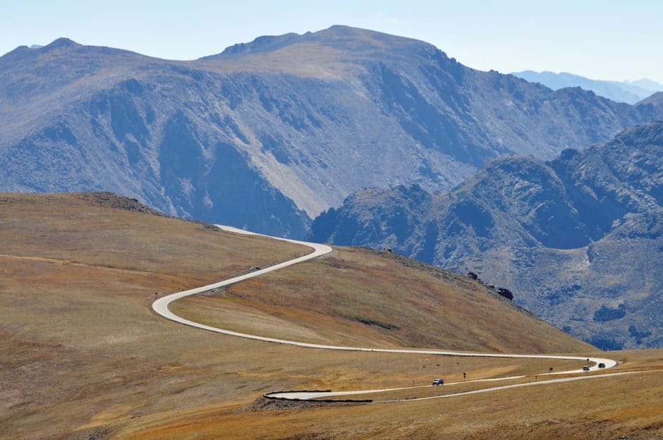
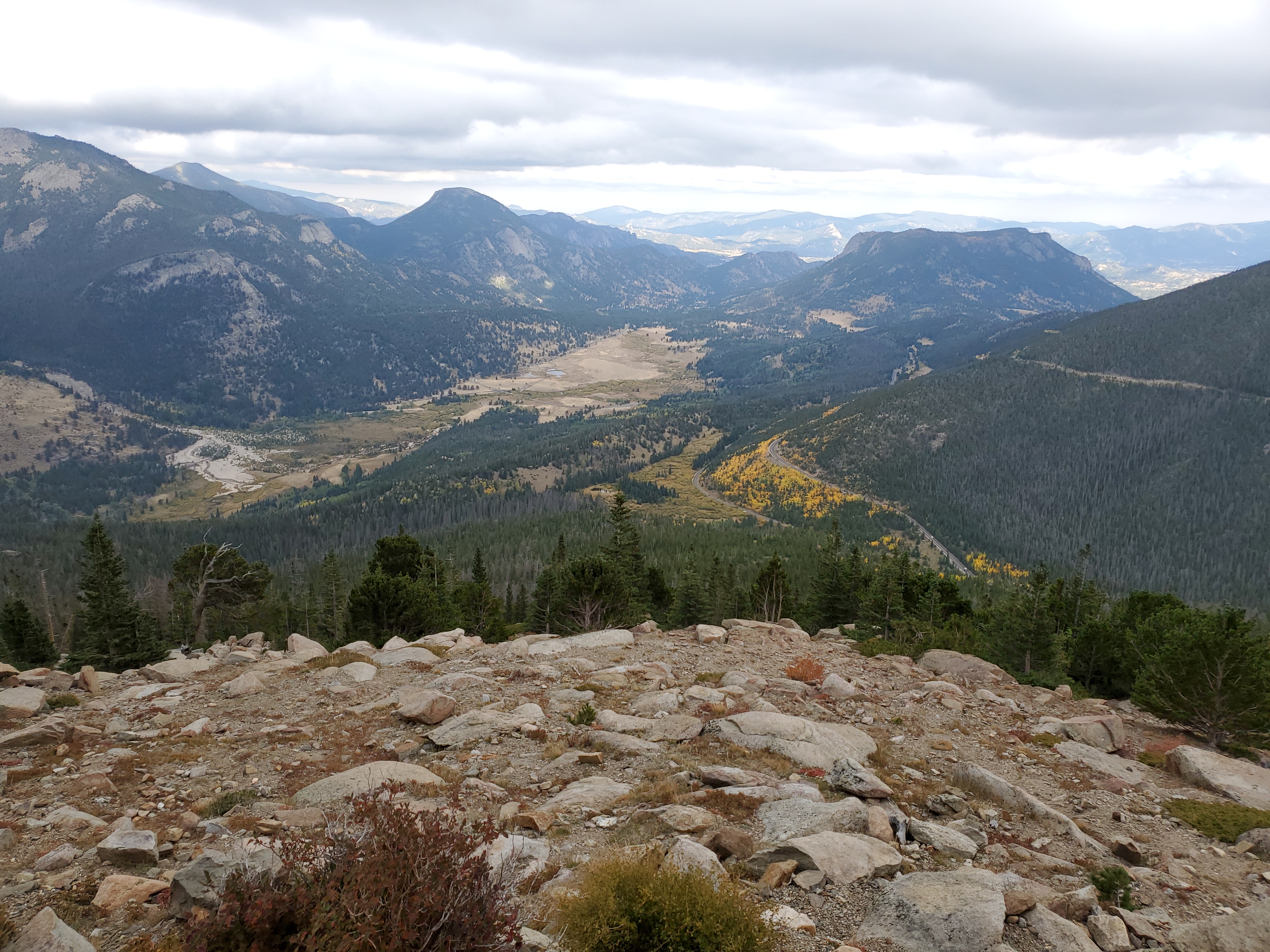
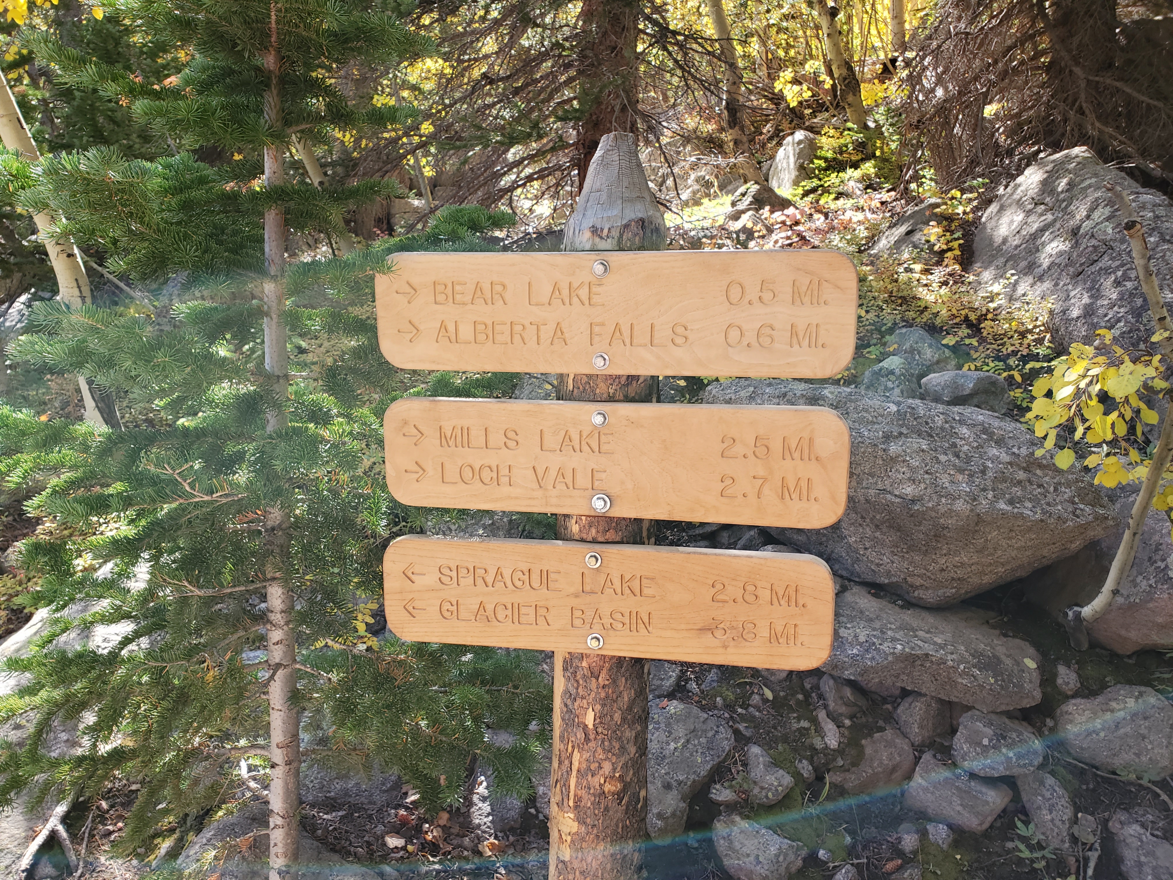
The next morning we drove into a section of the park we had not visited previously, Bear Lake Road. This road leads to numerous hiking trailheads, with the road ending at the Bear Lake trailhead. Our planned hike for the day was Mills Lake from the Glacier Gorge trailhead which is on the way to Bear Lake. We thought we might get lucky on parking, but the trailhead was completely full, so we drove back to the much larger Park and Ride Lot and took the shuttle back to the trailhead.
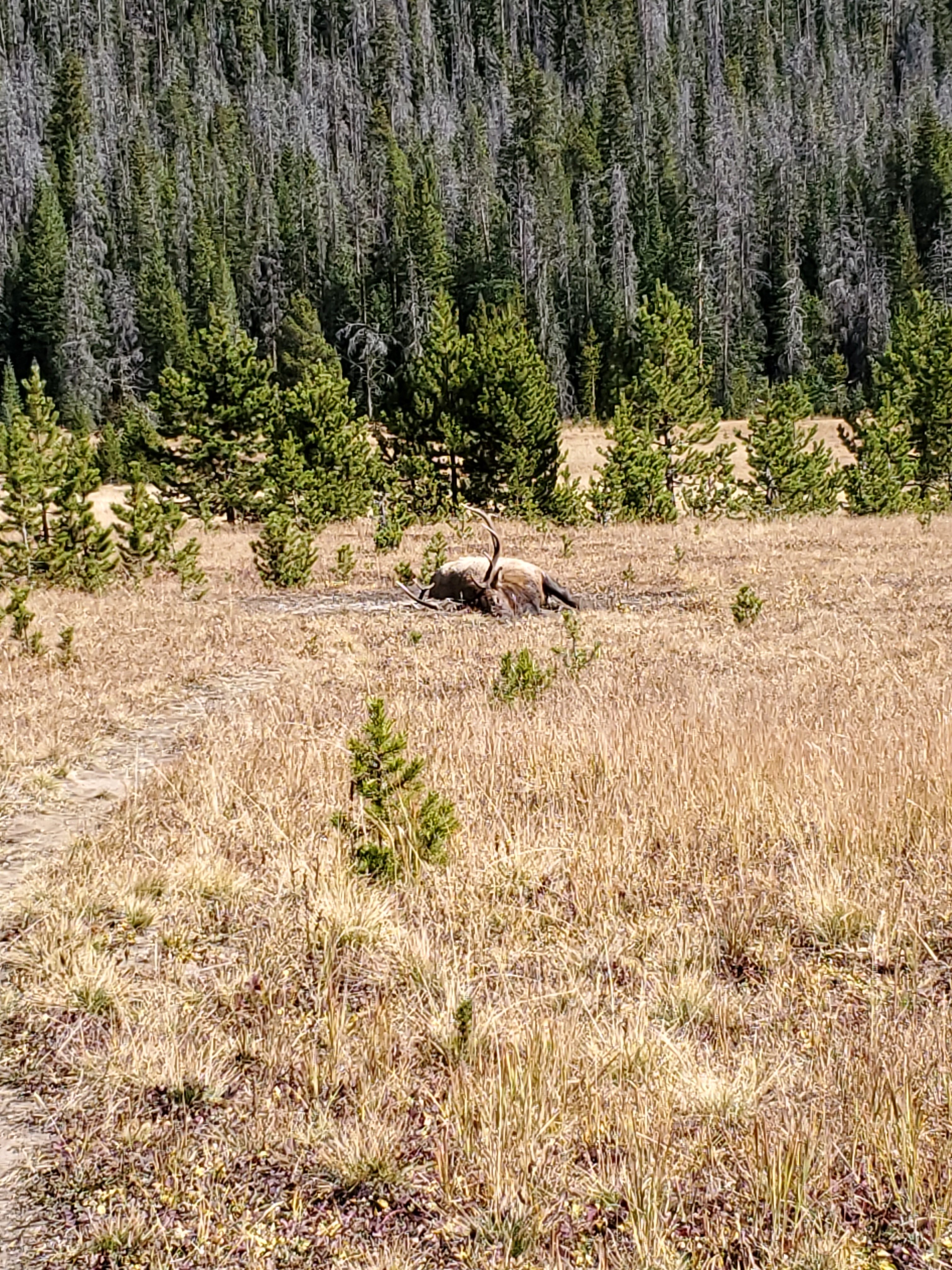
Word of note, if you plan to hike anywhere along Bear Lake Road, get there super early or just plan to take the shuttle. Keep your eyes open on this road, as the wildlife is abundant. We went by well over a dozen elk on the ride back to the trailhead, but being crammed into a standing room only shuttle didn’t make for good photo taking opportunities.
The Glacier Gorge trailhead has a lot of options.
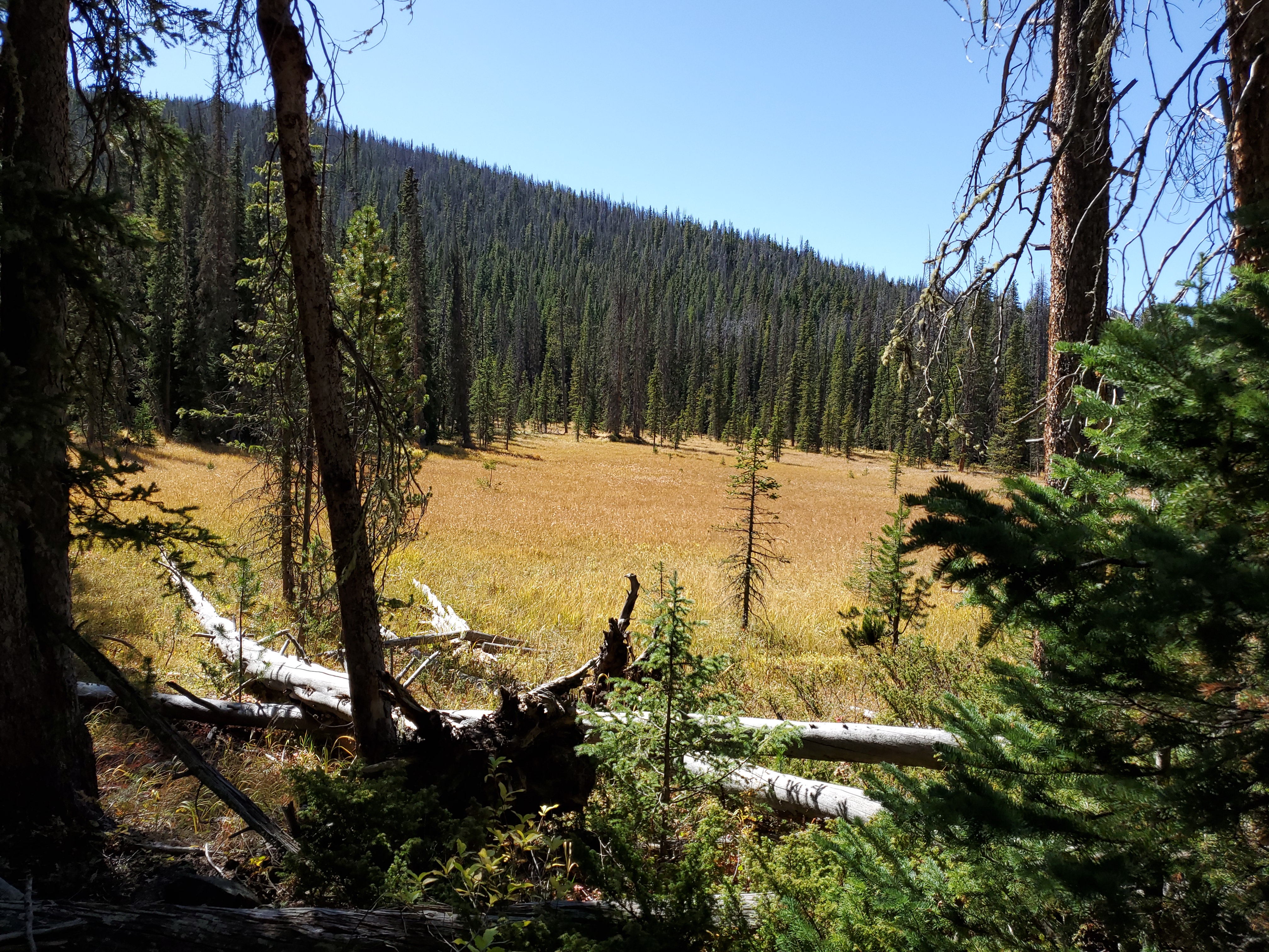
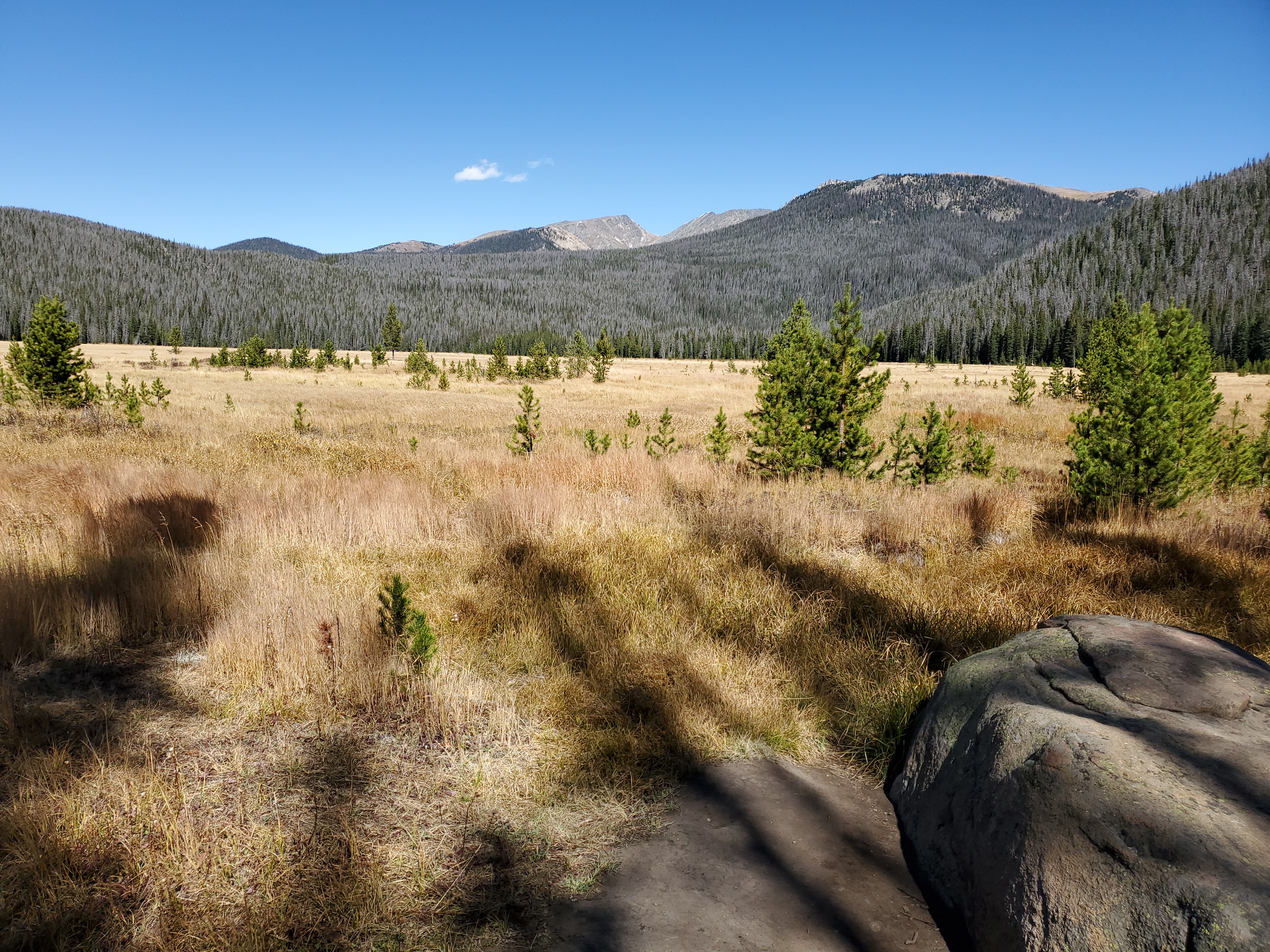
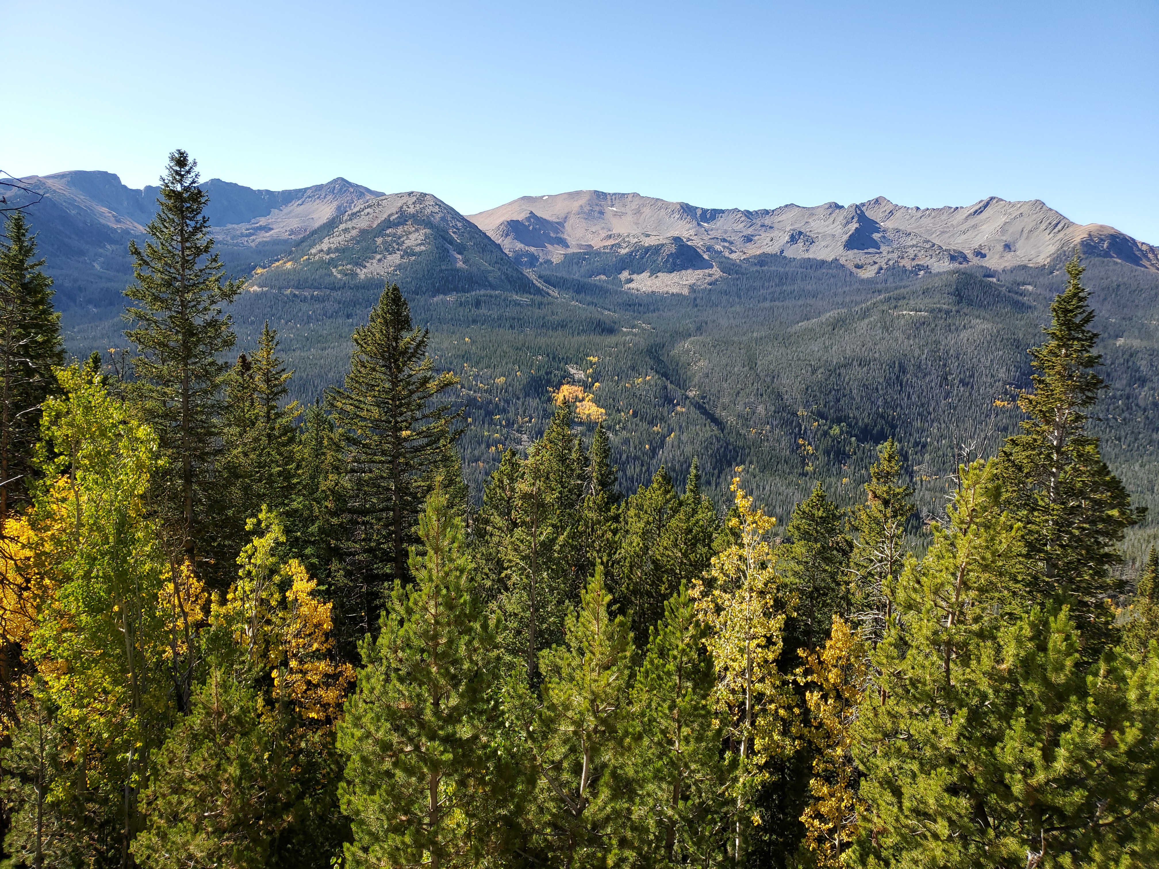
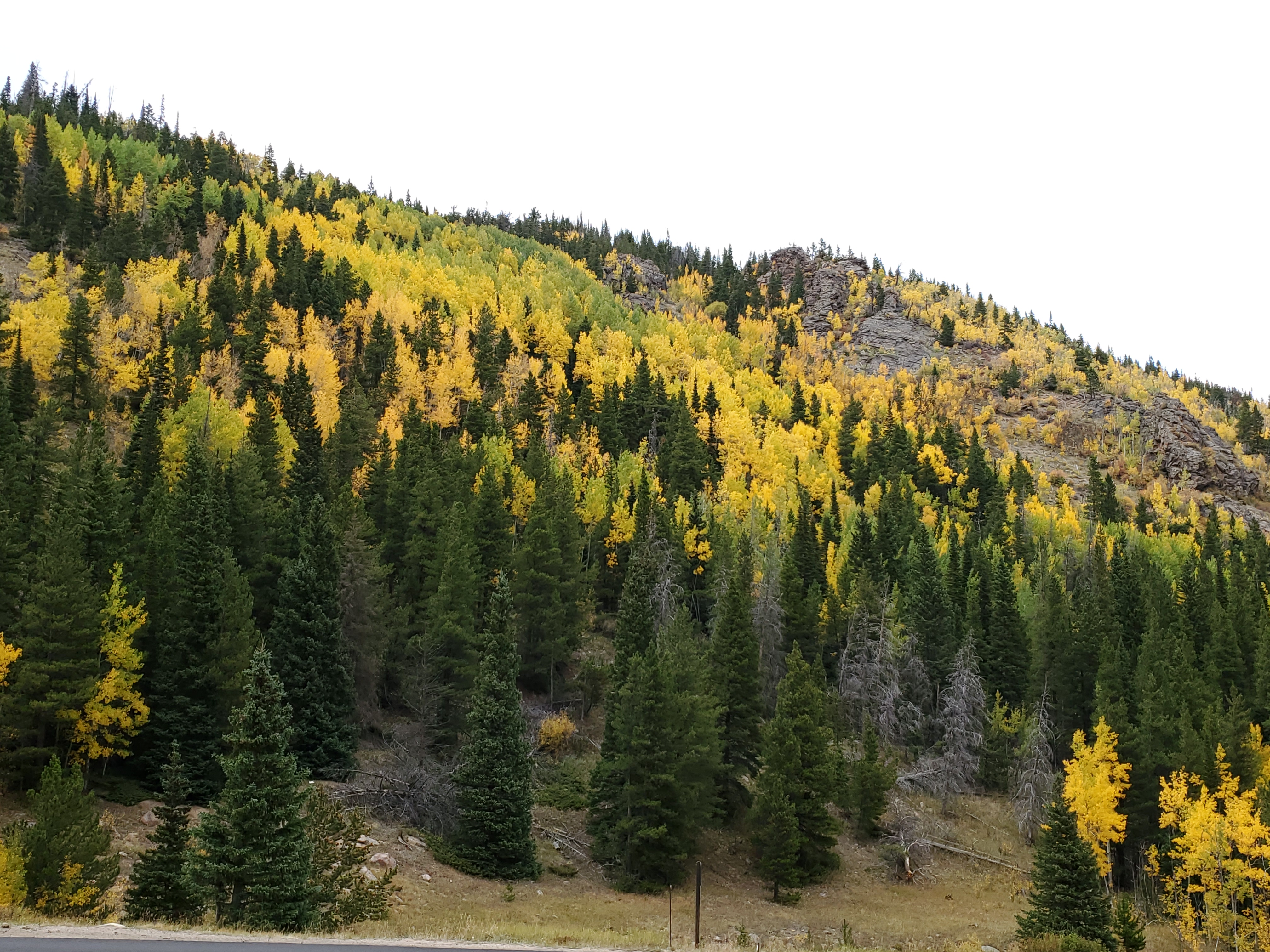
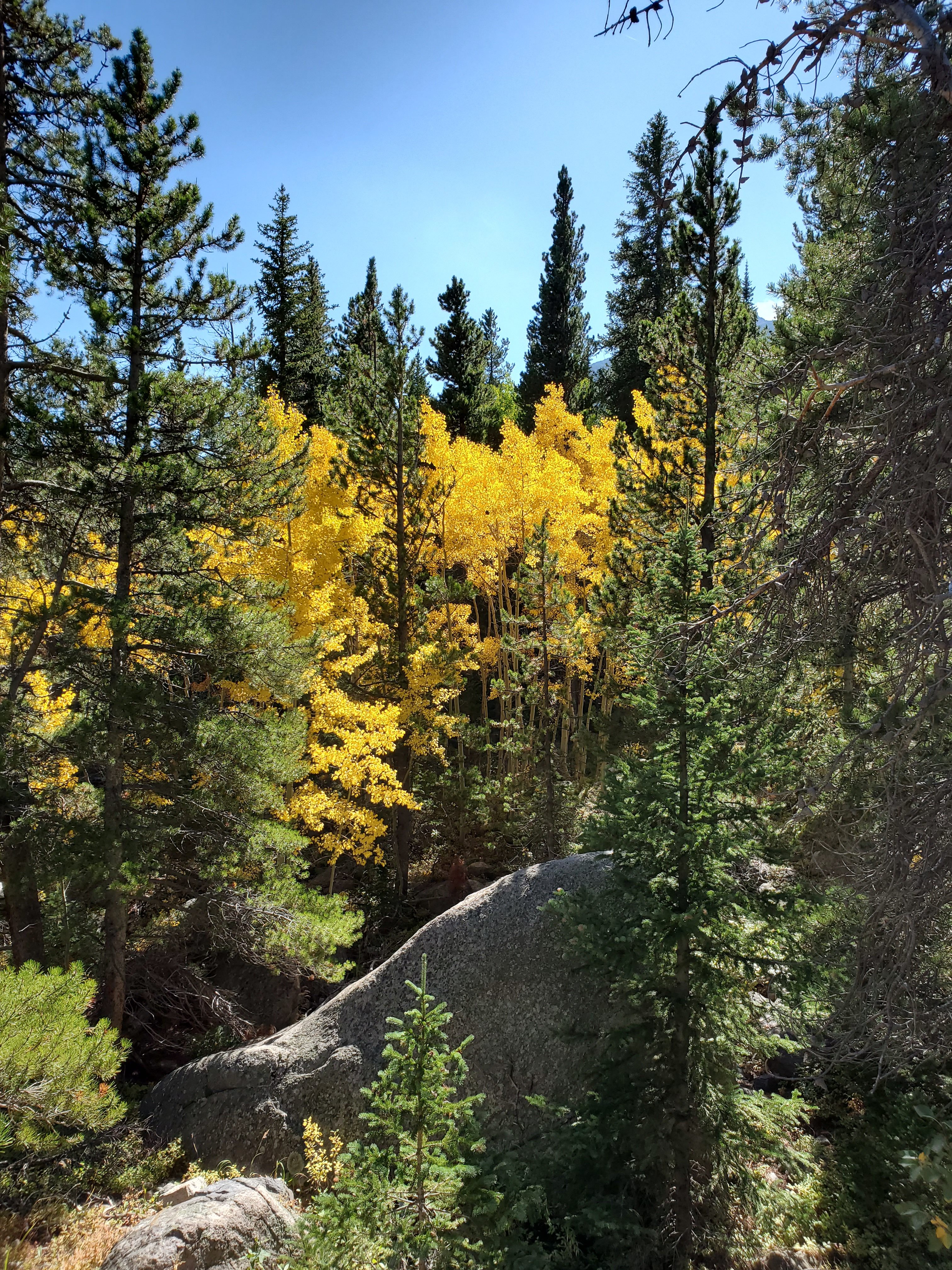
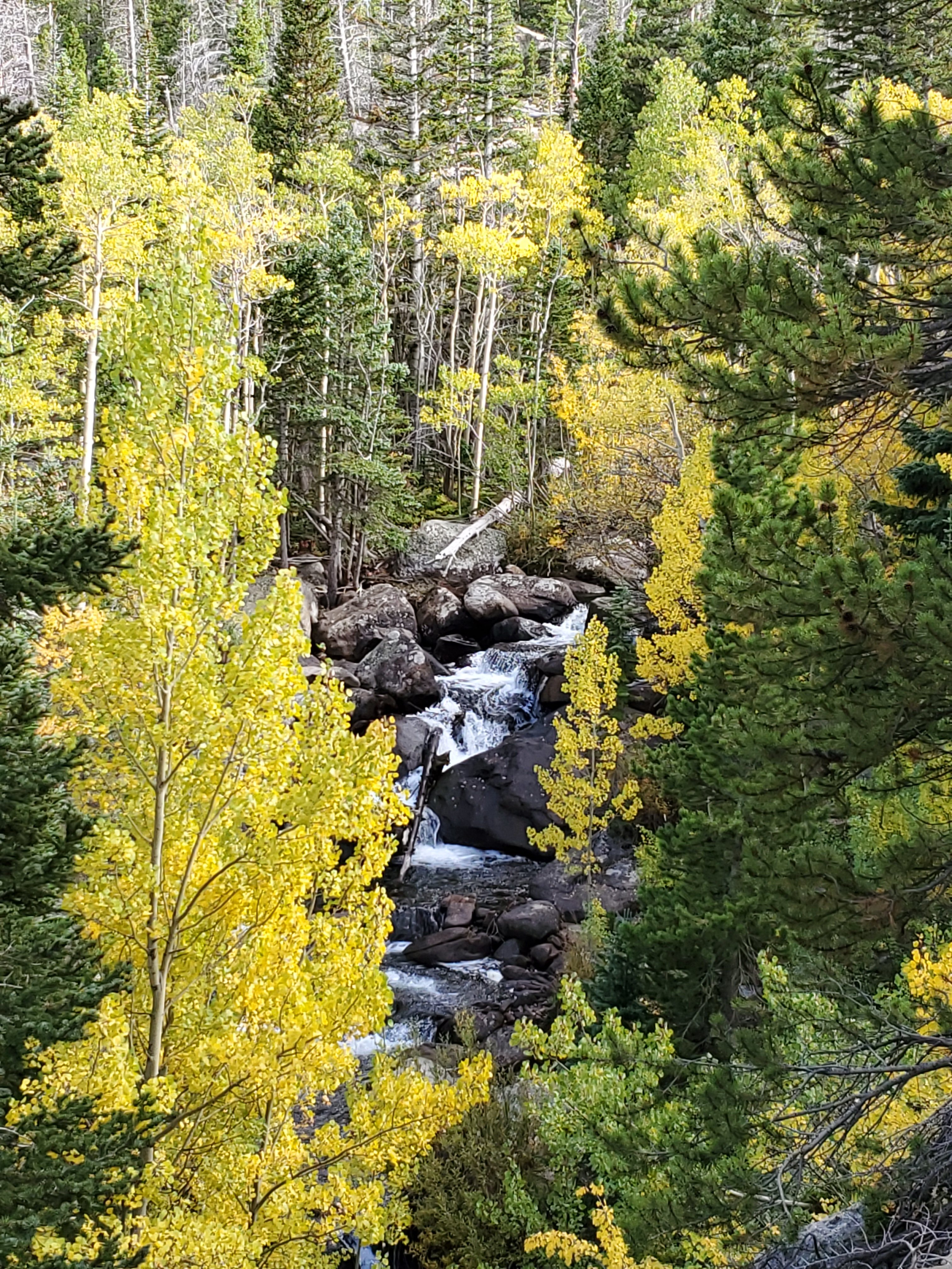
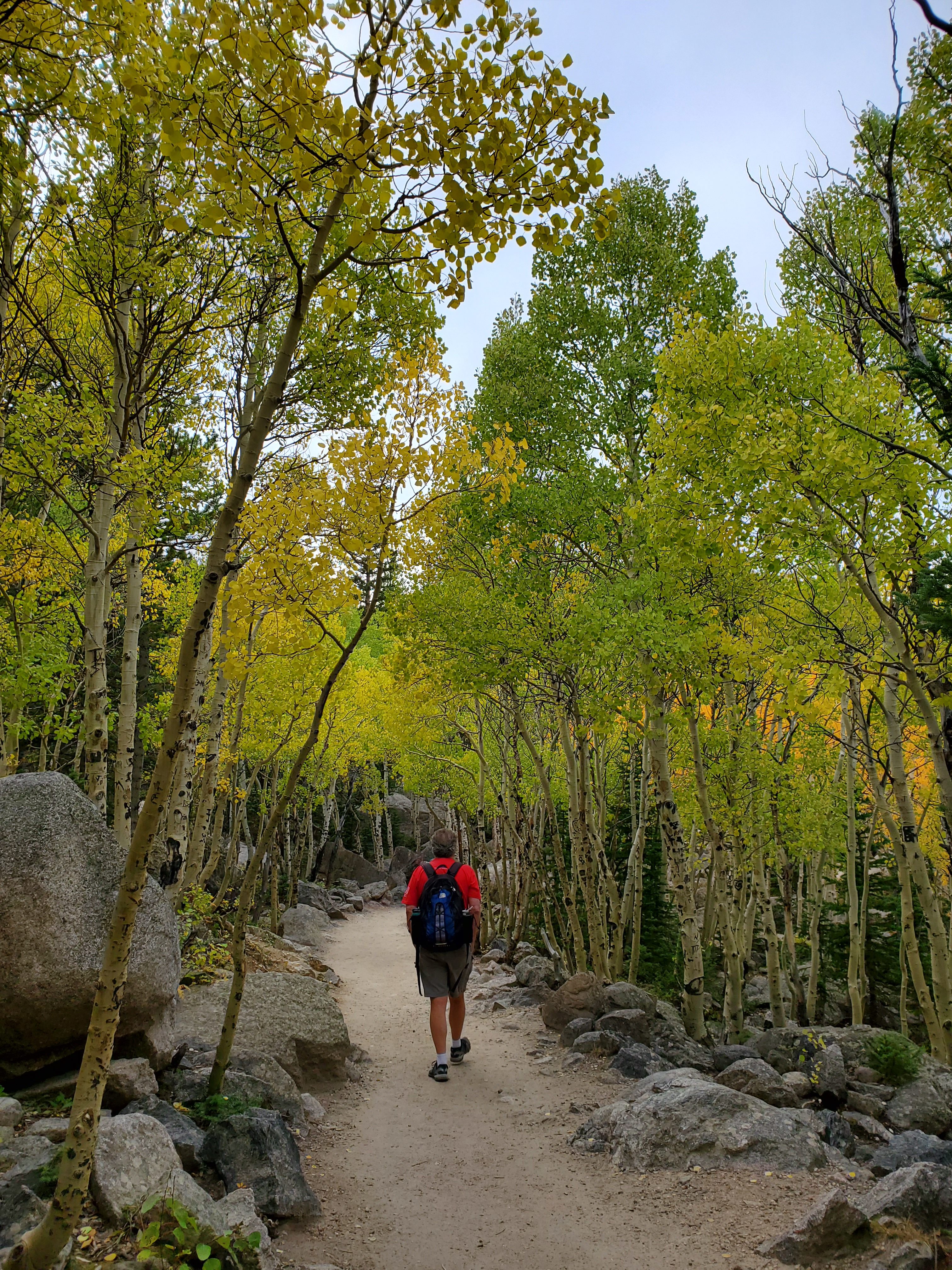
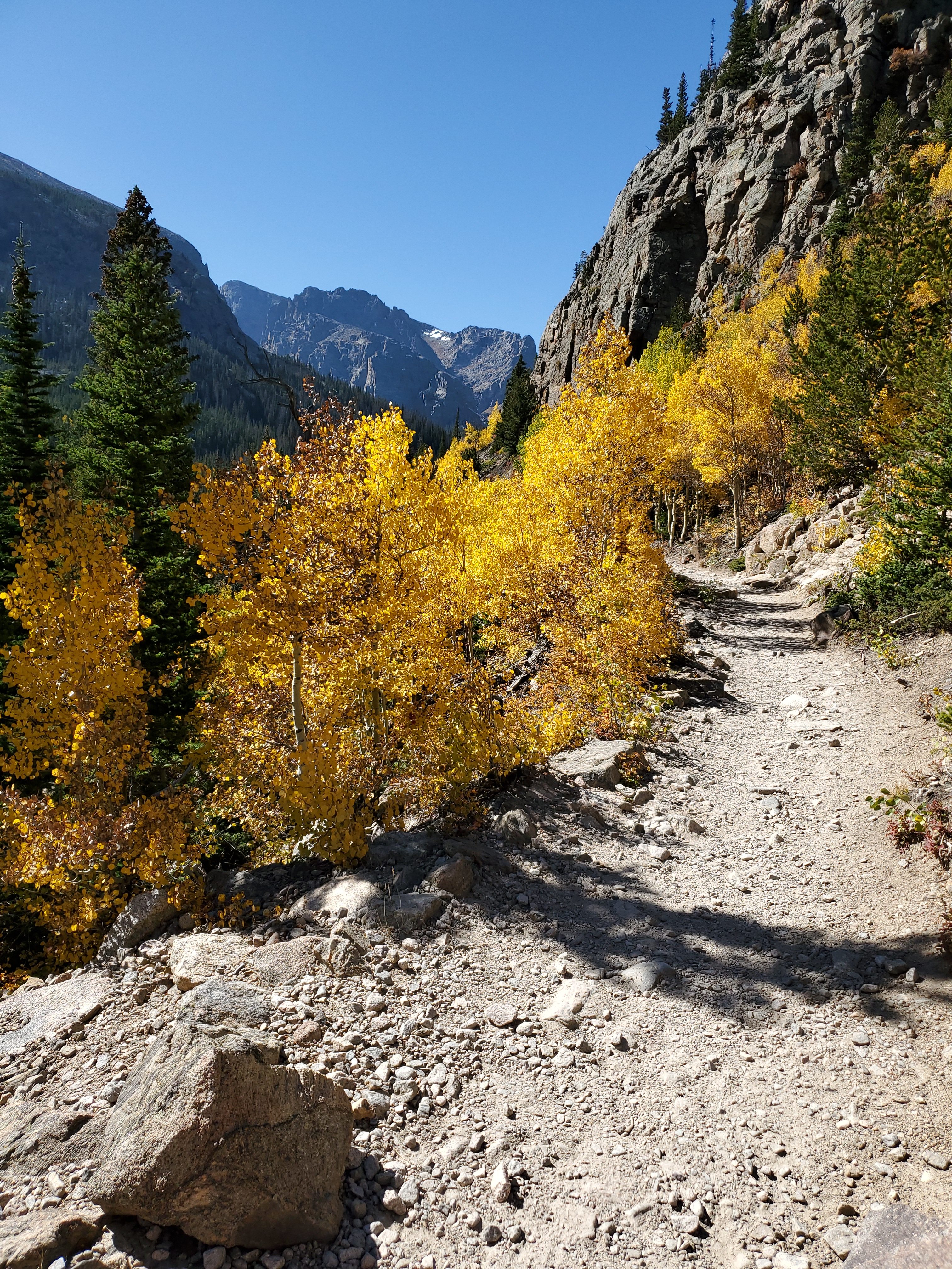
The fall colors are an immediate reward.
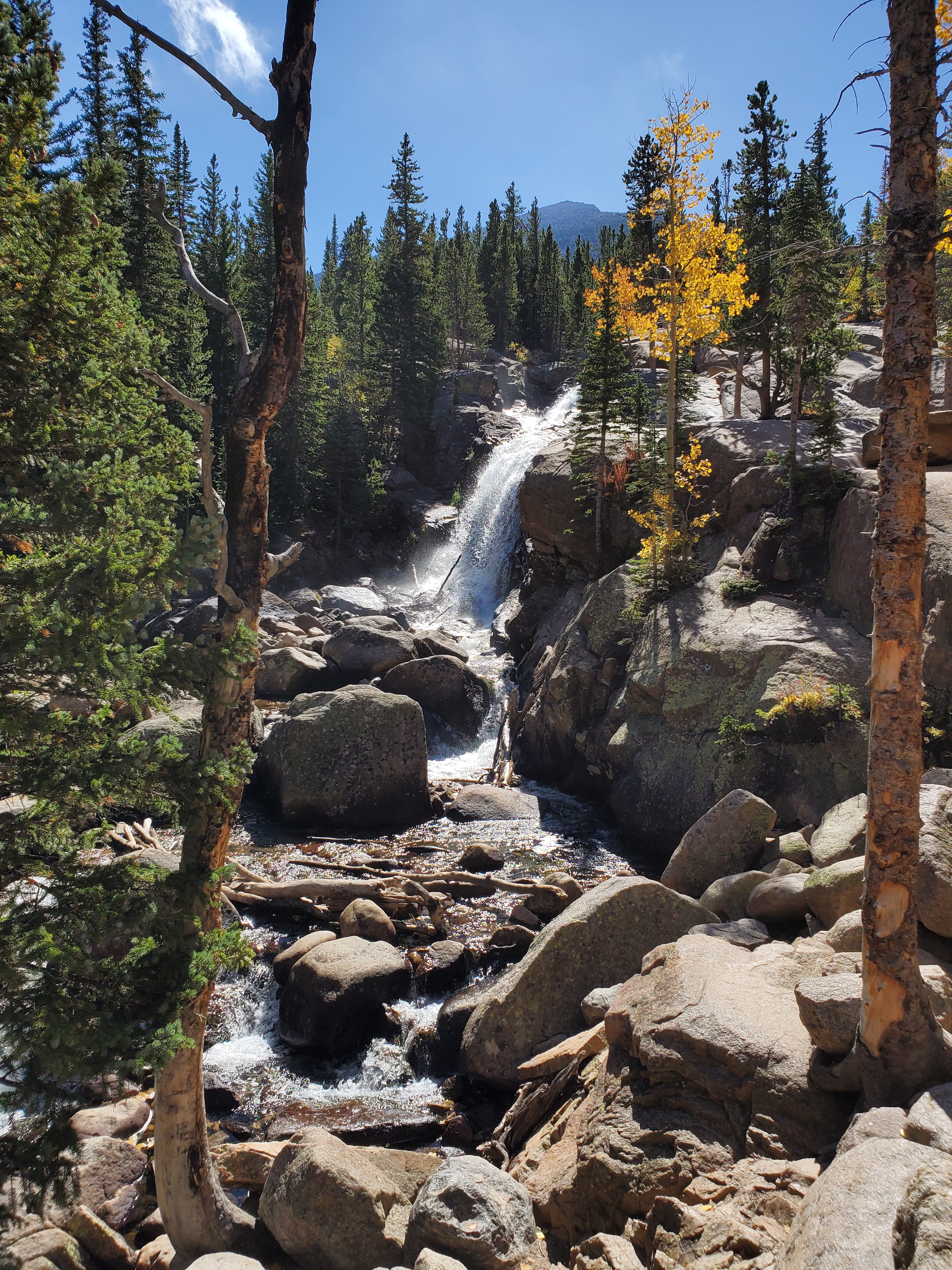
Alberta Falls is an easy 0.6 miles along the way. It seemed like about half of the hikers turned around at this point, as the crowds lightened considerably.
The trail has various points of glorious color!
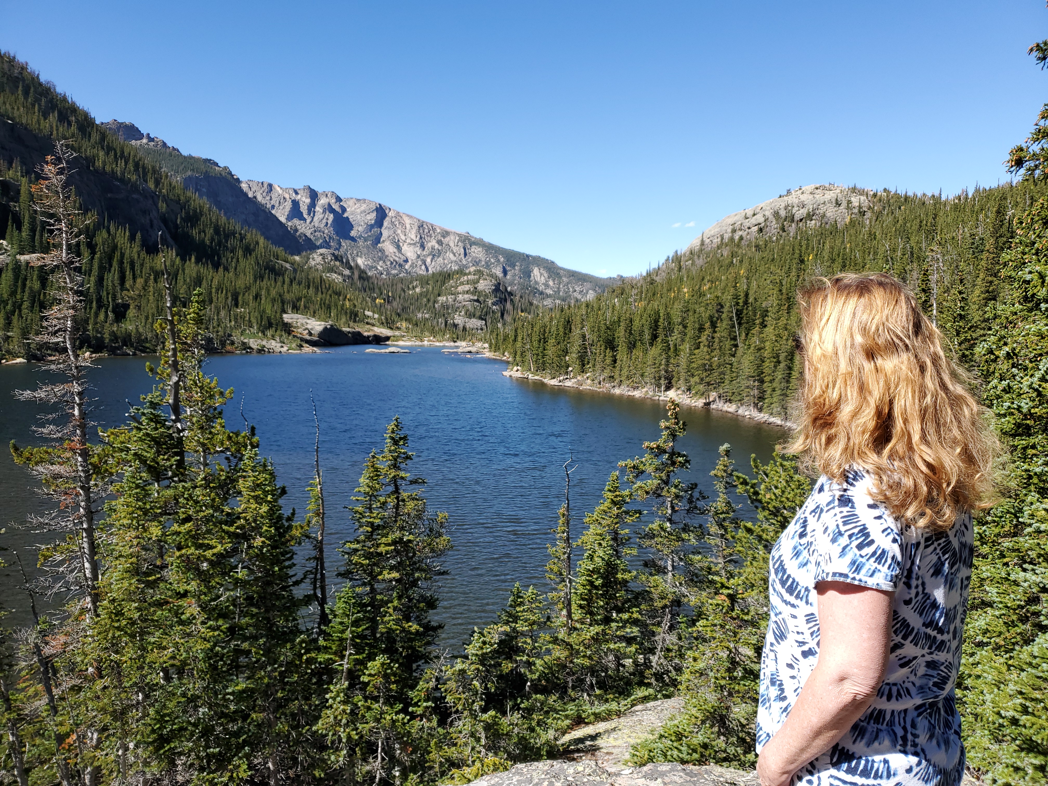
Mills Lake is a gorgeous spot, perfect for your picnic lunch.
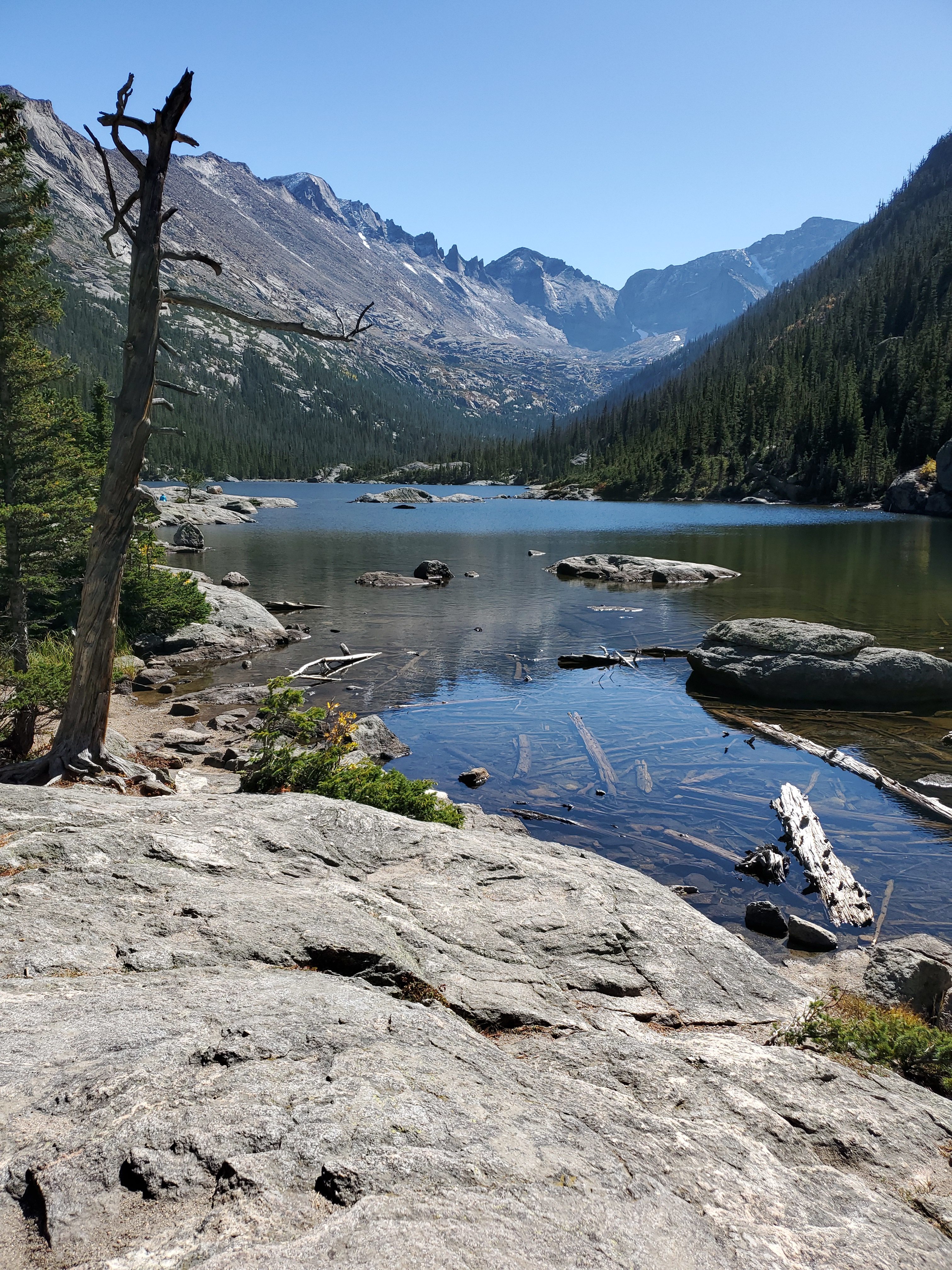
Here is the view from the other side of Mills Lake.
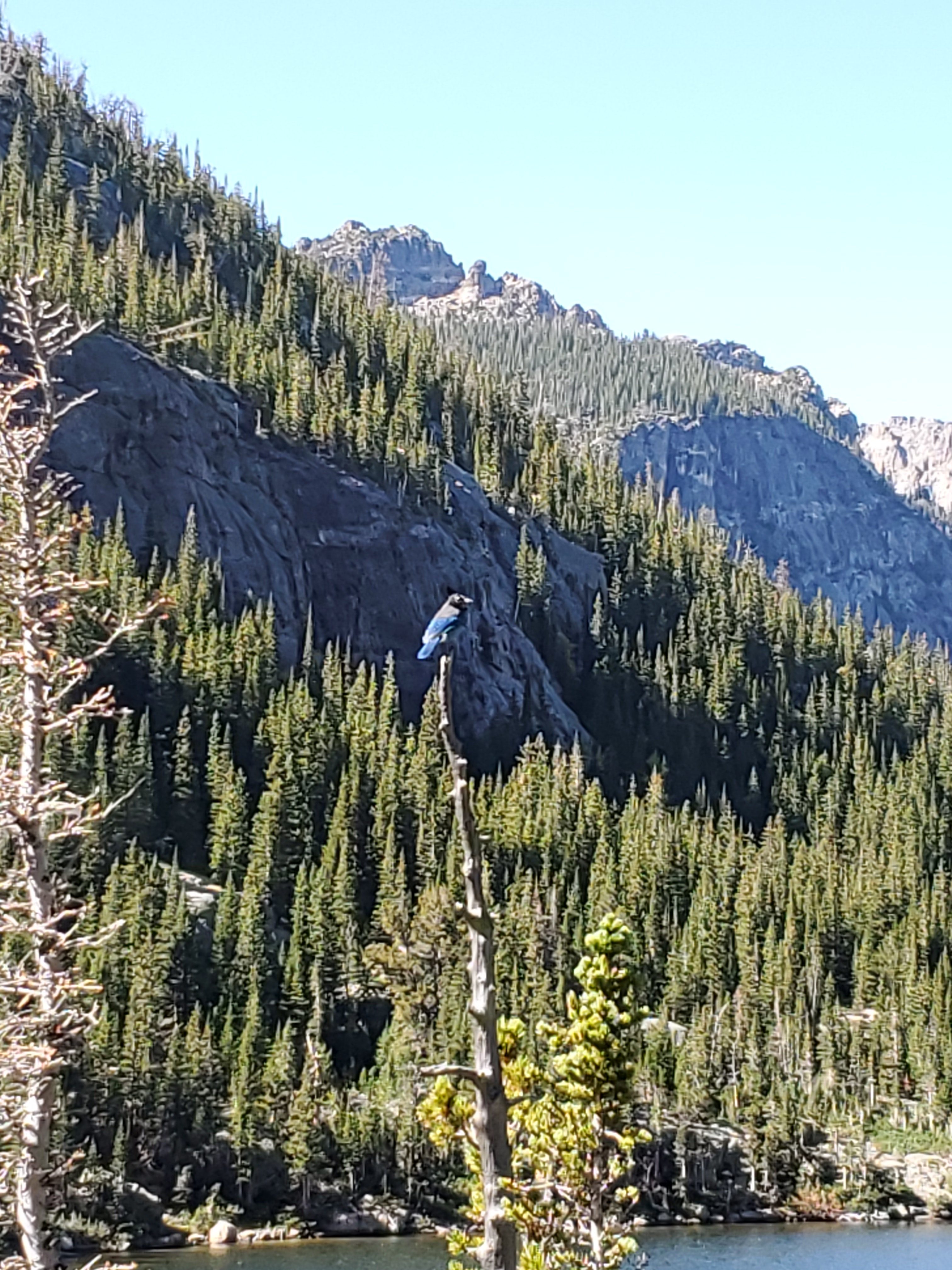
This Steller’s Jay was checking us out, hoping for a hand out.
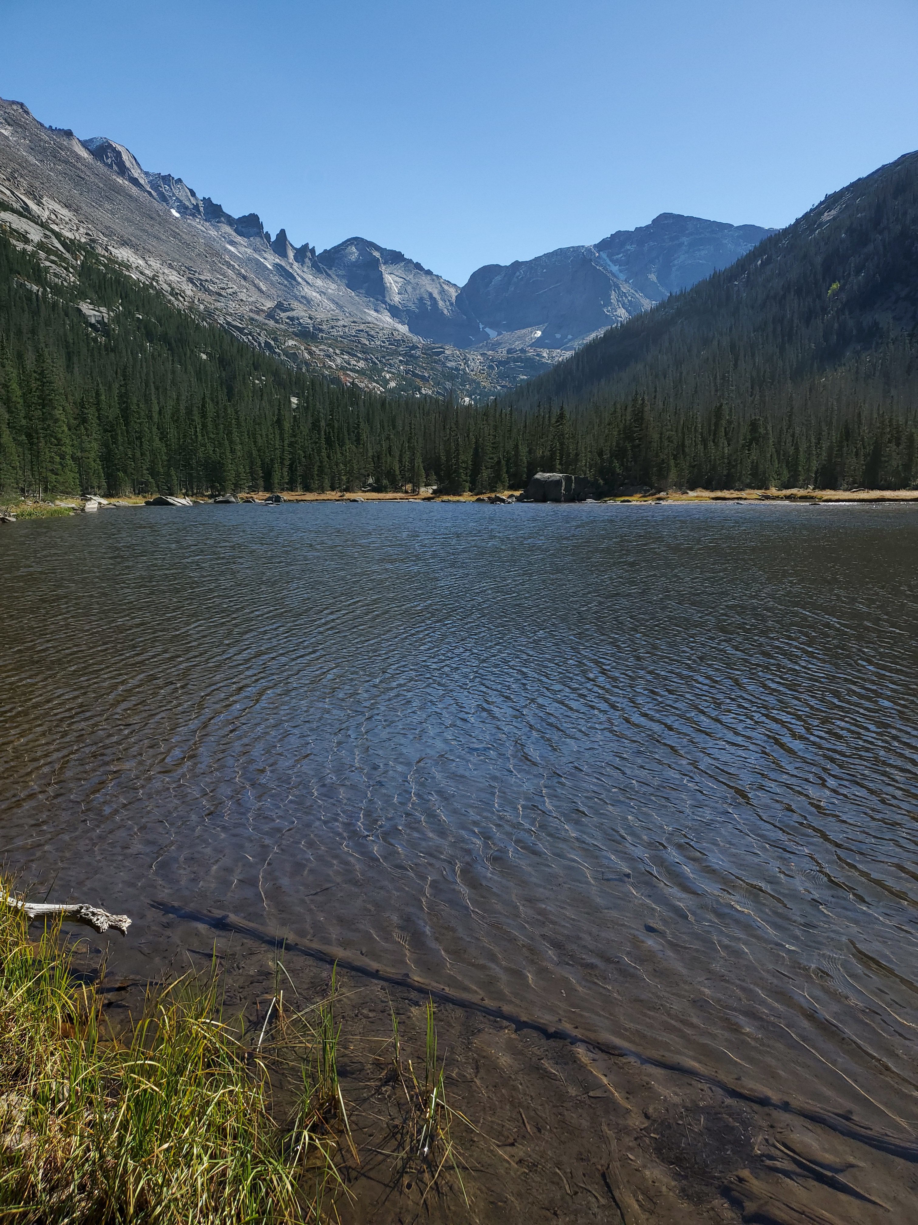
We hiked to the next lake, called Jewel Lake. I think they came up with that name to get you to hike the extra half mile….I’m not feeling the jewels! Perhaps we are just getting spoiled by all of the beauty.
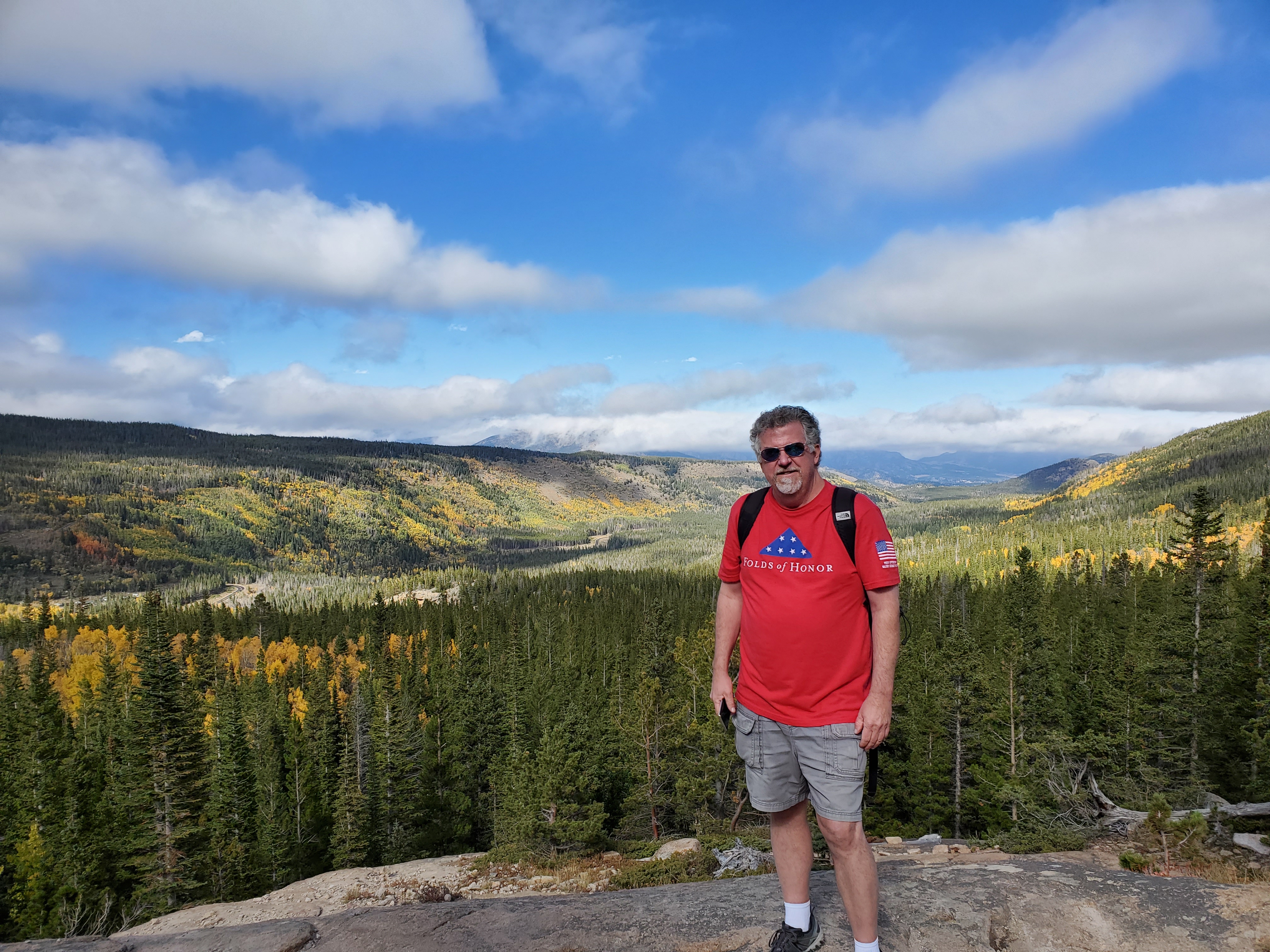
One last beautiful shot on the way back down the trail. Ignore that guy in the picture….I meant the area behind him!
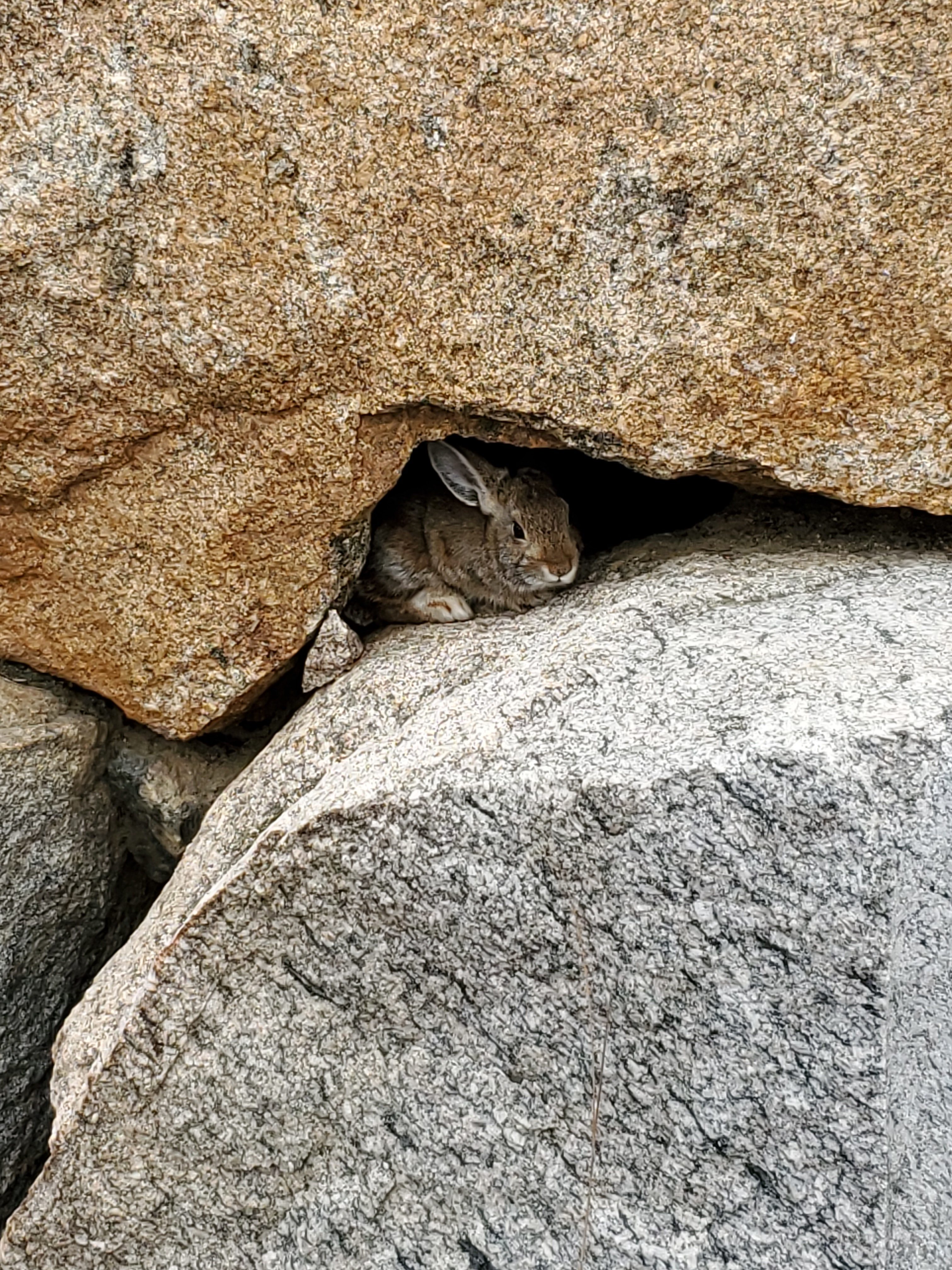
As we were getting into our car at the Park and Ride I noticed this little guy watching us.
Part 3 coming soon!