As soon as we started planning the New Orleans part of our trip I reached out to my former boss, John Driscoll, to see if we could swing by Mobile to visit with him and his wife Linda. John was my last boss at the Port of Oakland, and we struck up a quick friendship during our time working together.
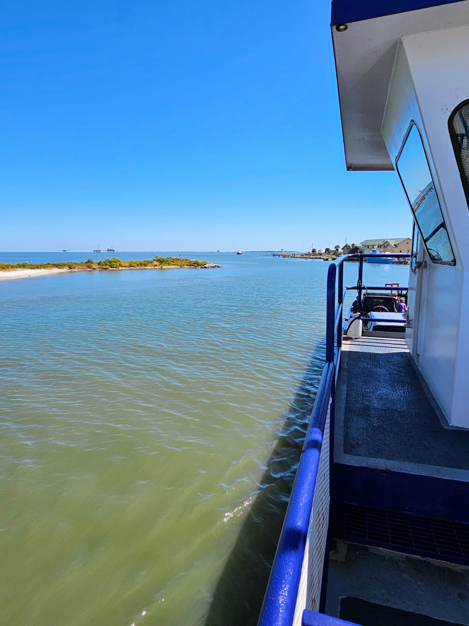
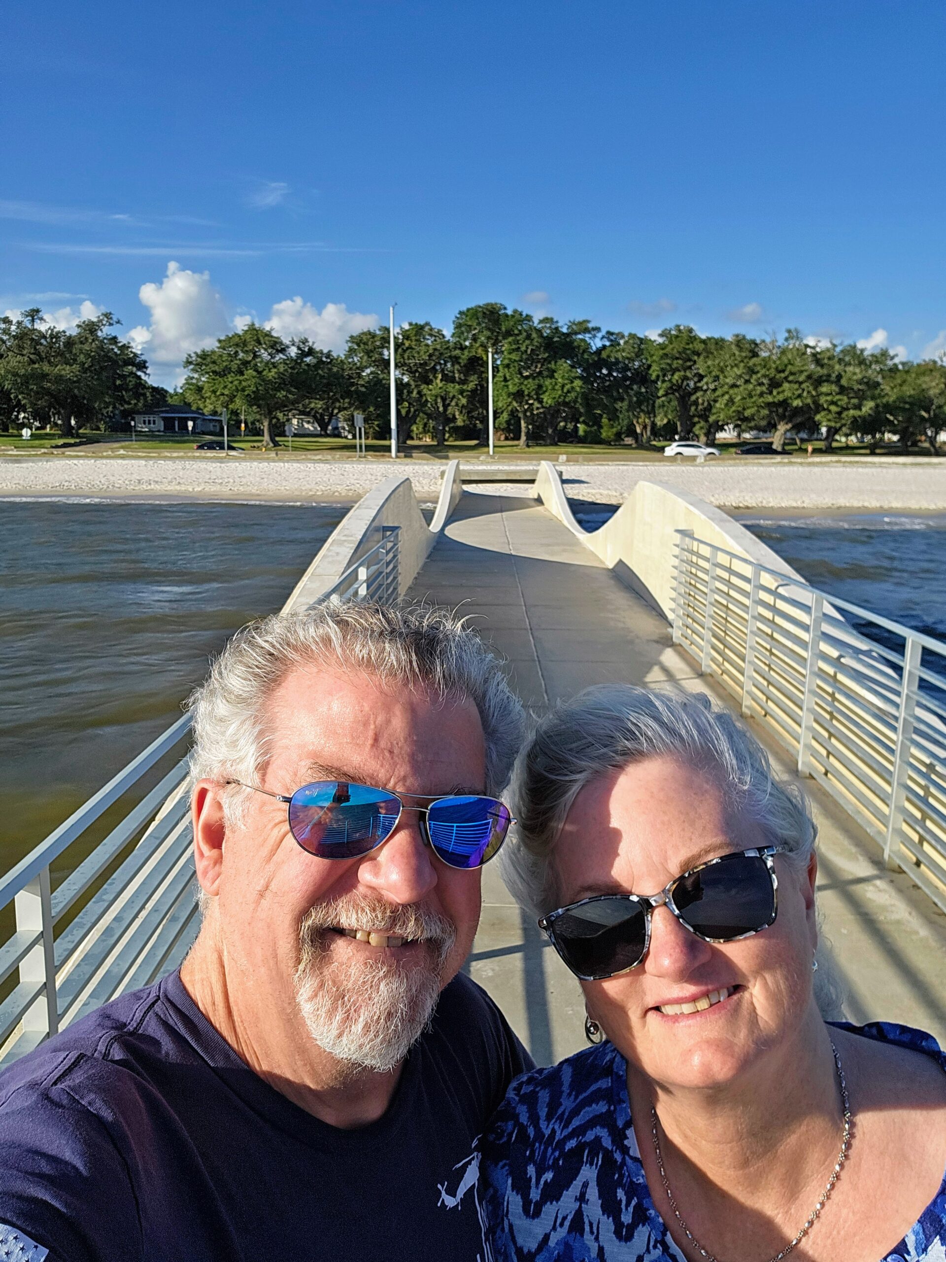
Here we are getting ready to take a ferry ride across Mobile Bay from Dauphin Island to Fort Morgan. Not a bad selfie! William’s skills must be rubbing off on me.
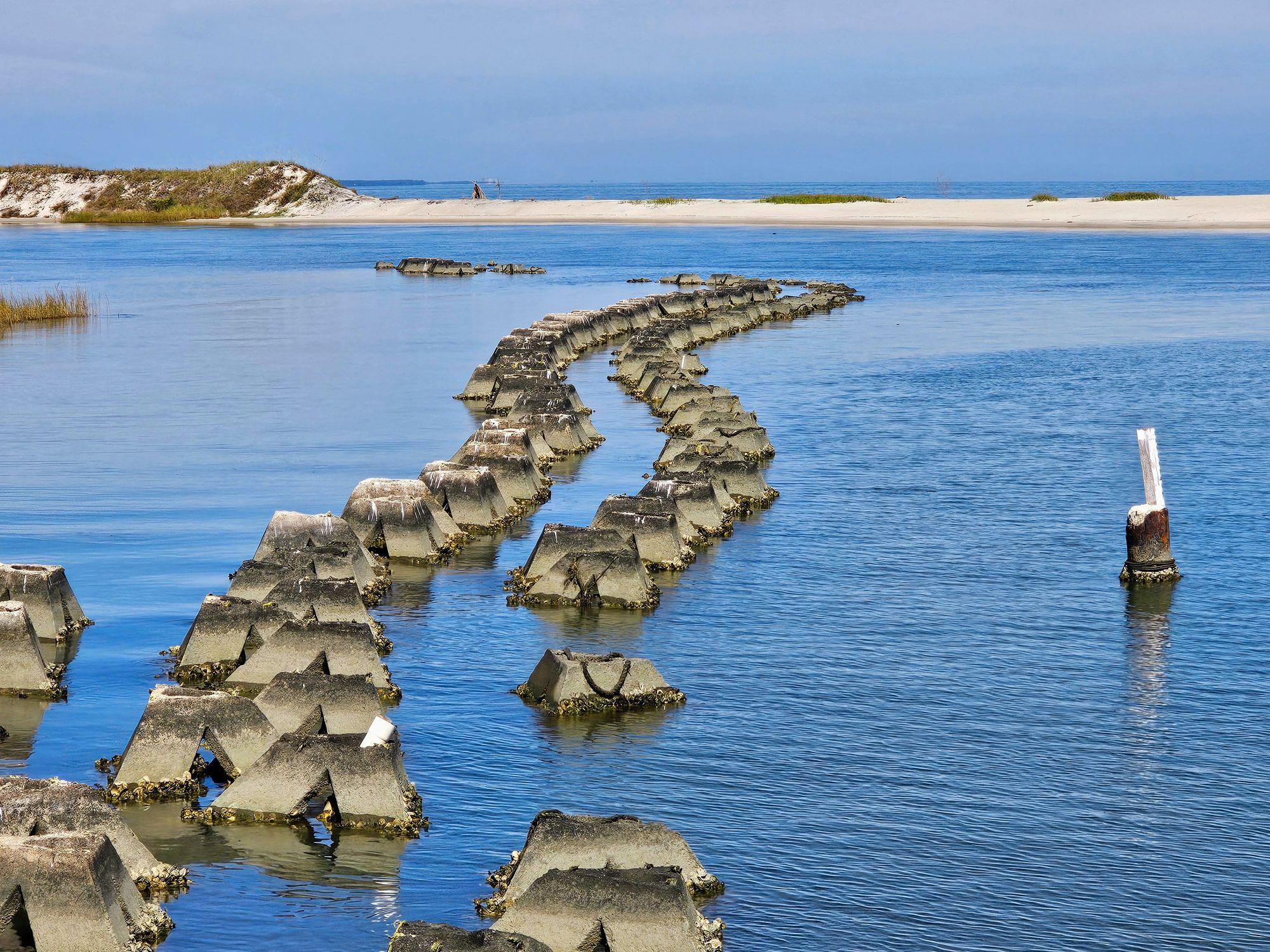
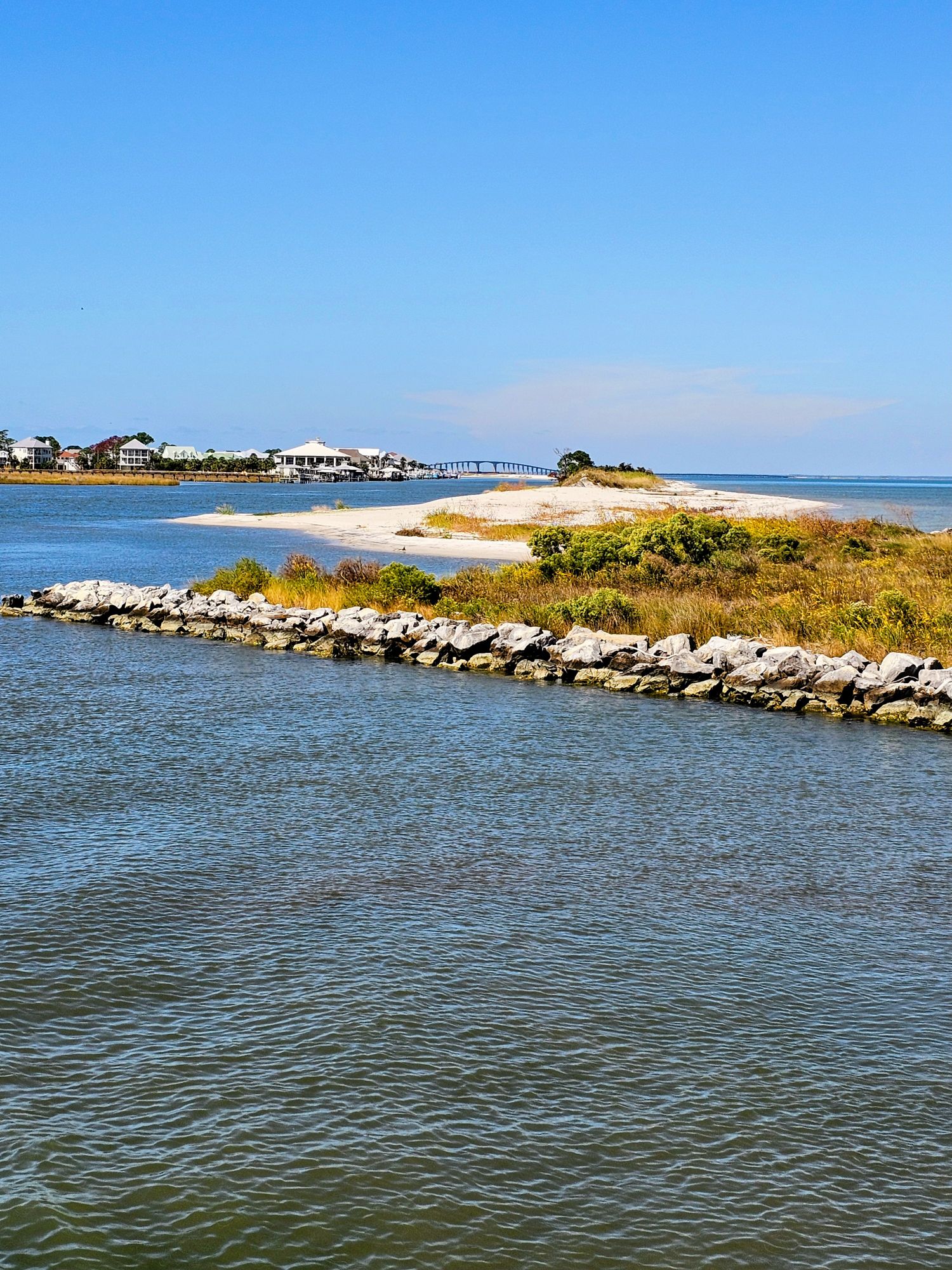
The rip-rap they had in place to protect the shoreline was interesting, looking like something out of Hitler’s Atlantic Wall protections.
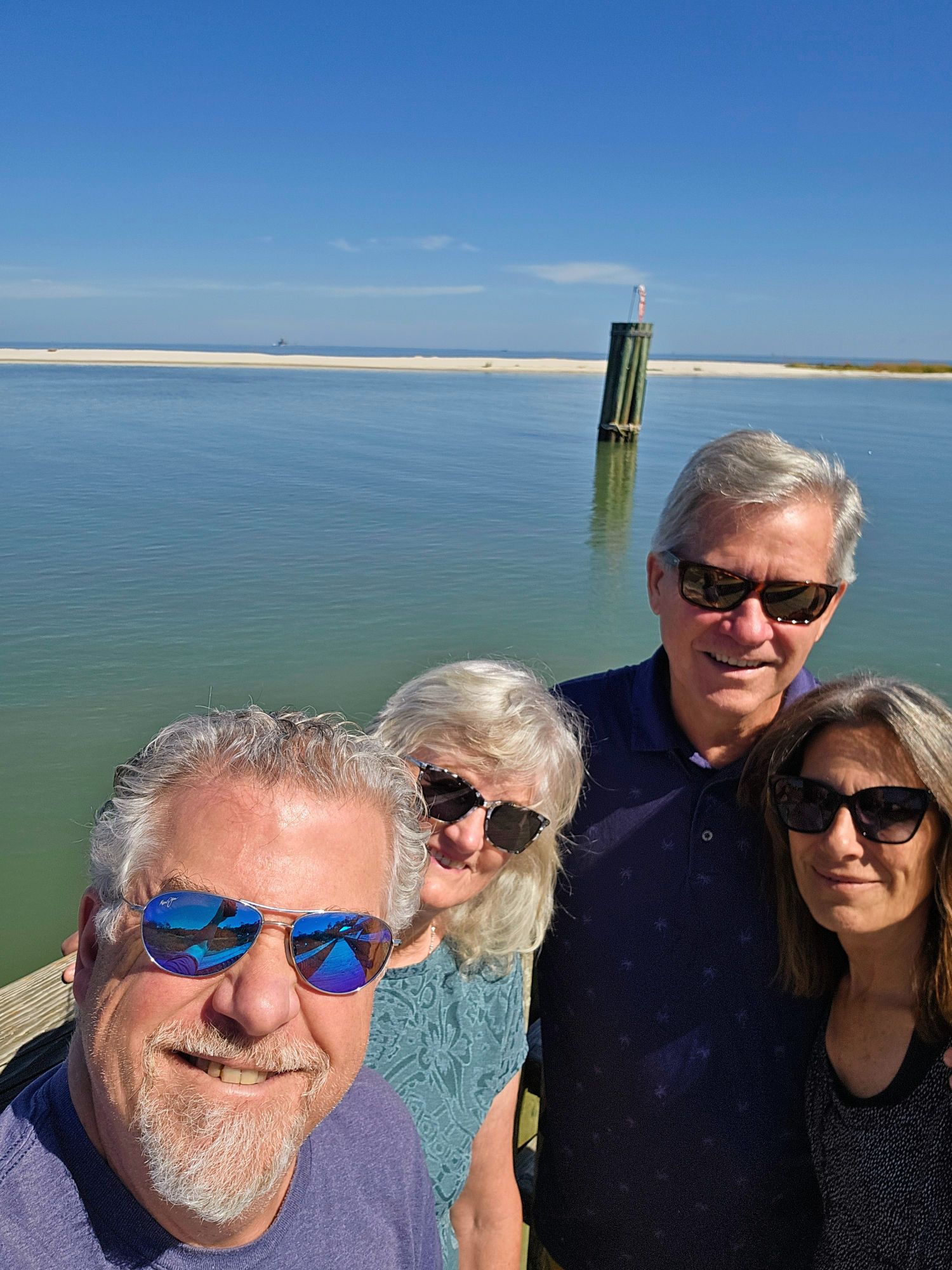
A shot of us from the same spot.
As I was taking this shot a dolphin rose out of the water to my left….just missed him!
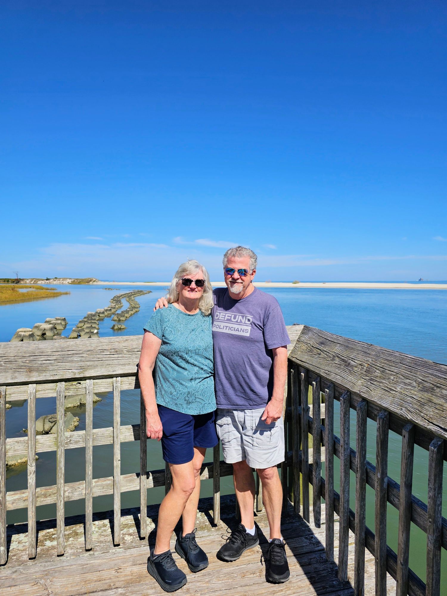
A beautiful shot looking north into Mobile Bay as we exit the harbor. That’s the Dauphin Island Bridge in the background.
About 45 minutes later we pulled into Fort Morgan. Pretty low profile of the fort on the right side of the photo.
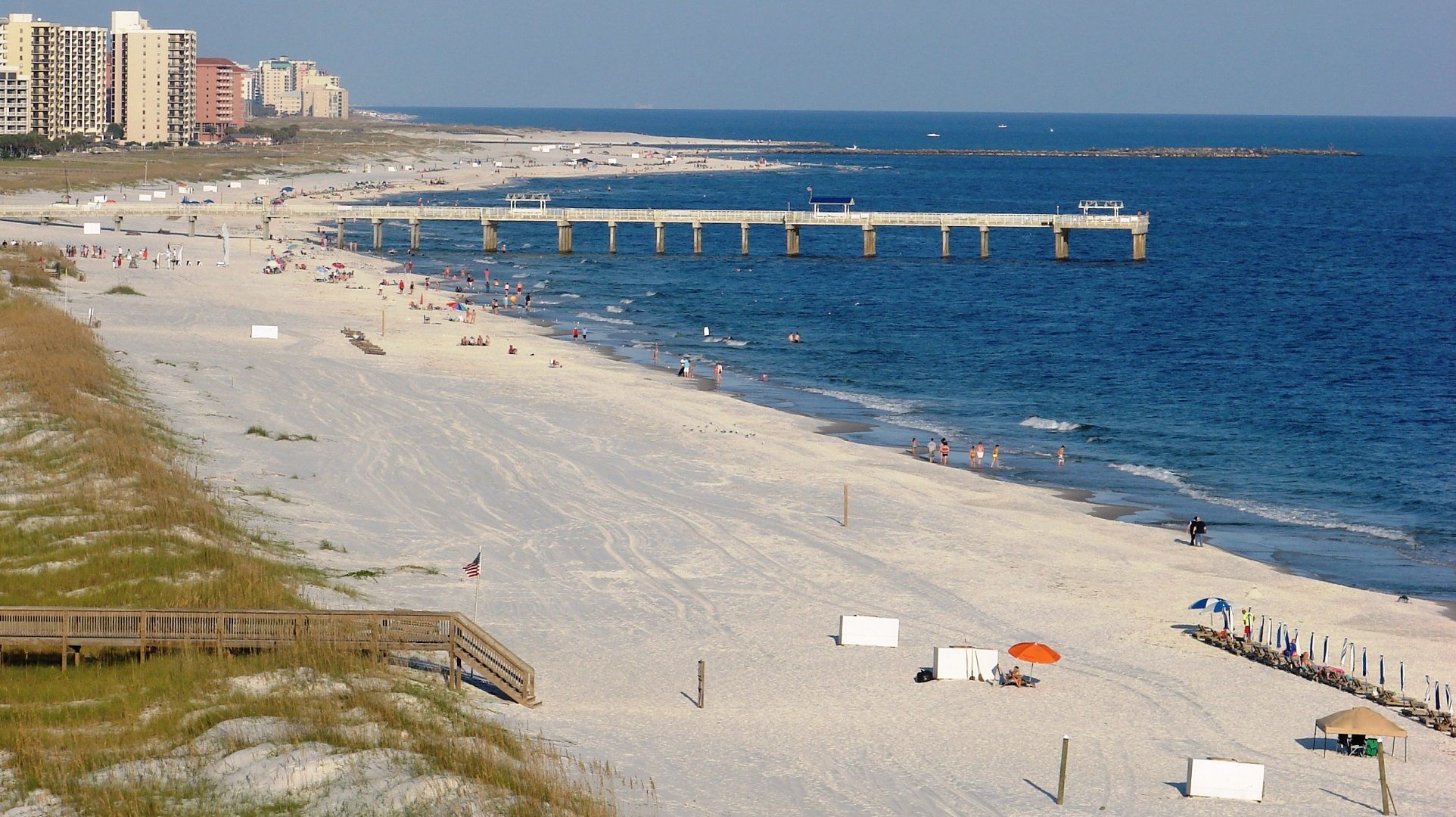
We stopped in Gulf Shores, AL, and checked out the beach. I didn’t take a photo but here is an aerial view of the beach here. The entire Gulf of America has been stunning!
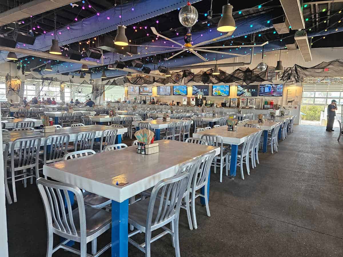
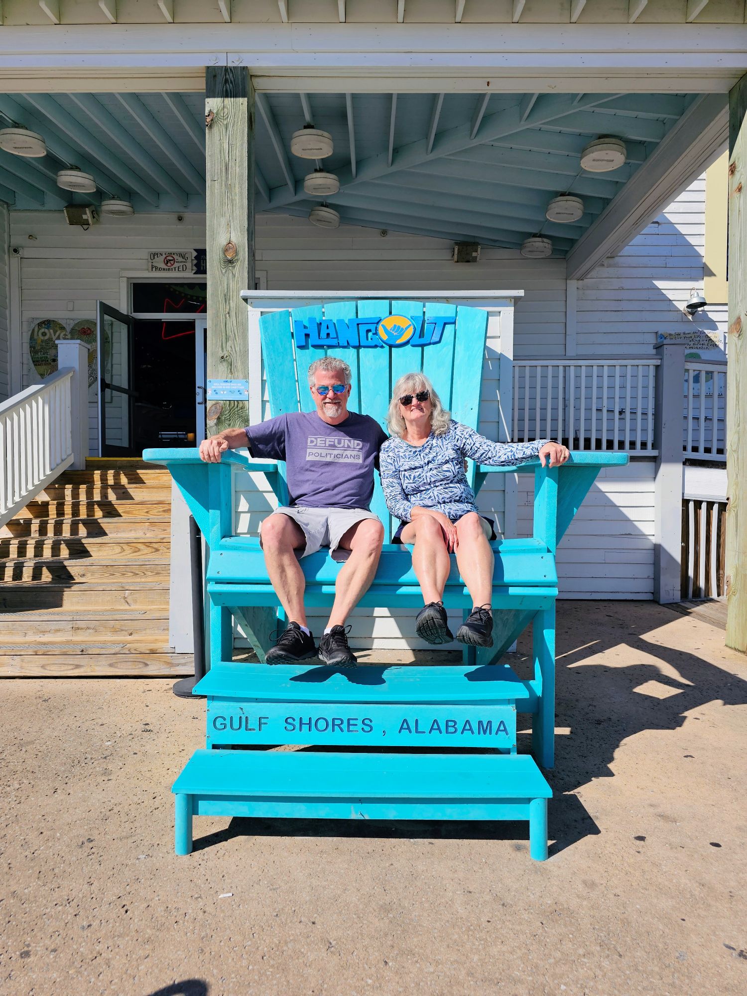
We had lunch at this huge party place called The Hangout. It was pretty quiet considering the time of day and it being the off-season, but I can just imagine how busy this place can be in the summer peak season.
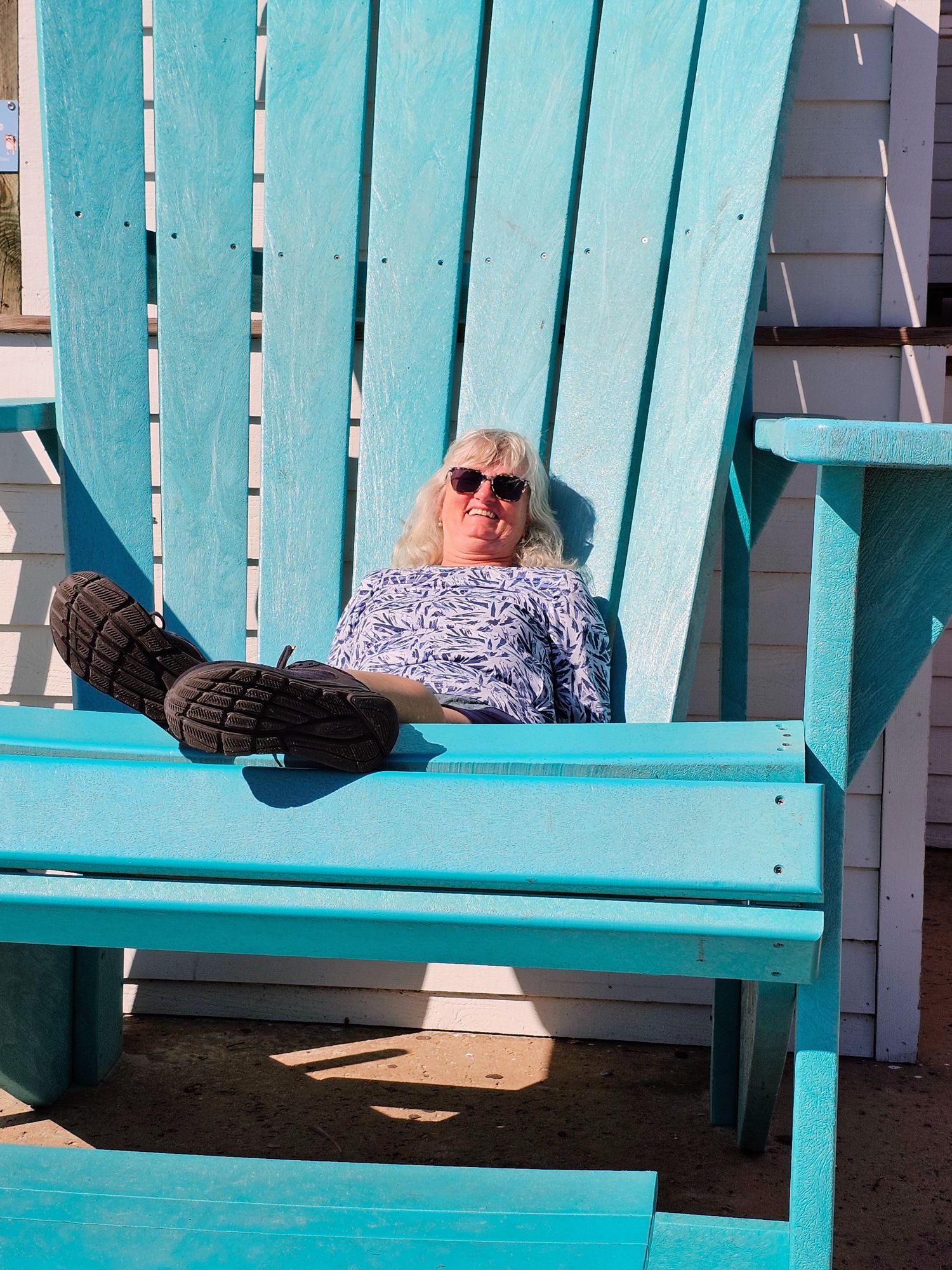
Kim tried sitting in the big chair just outside the restaurant and took a little slide backwards! Whoops!
We both had to get a shot in the chair, hanging on so we don’t slide backwards.
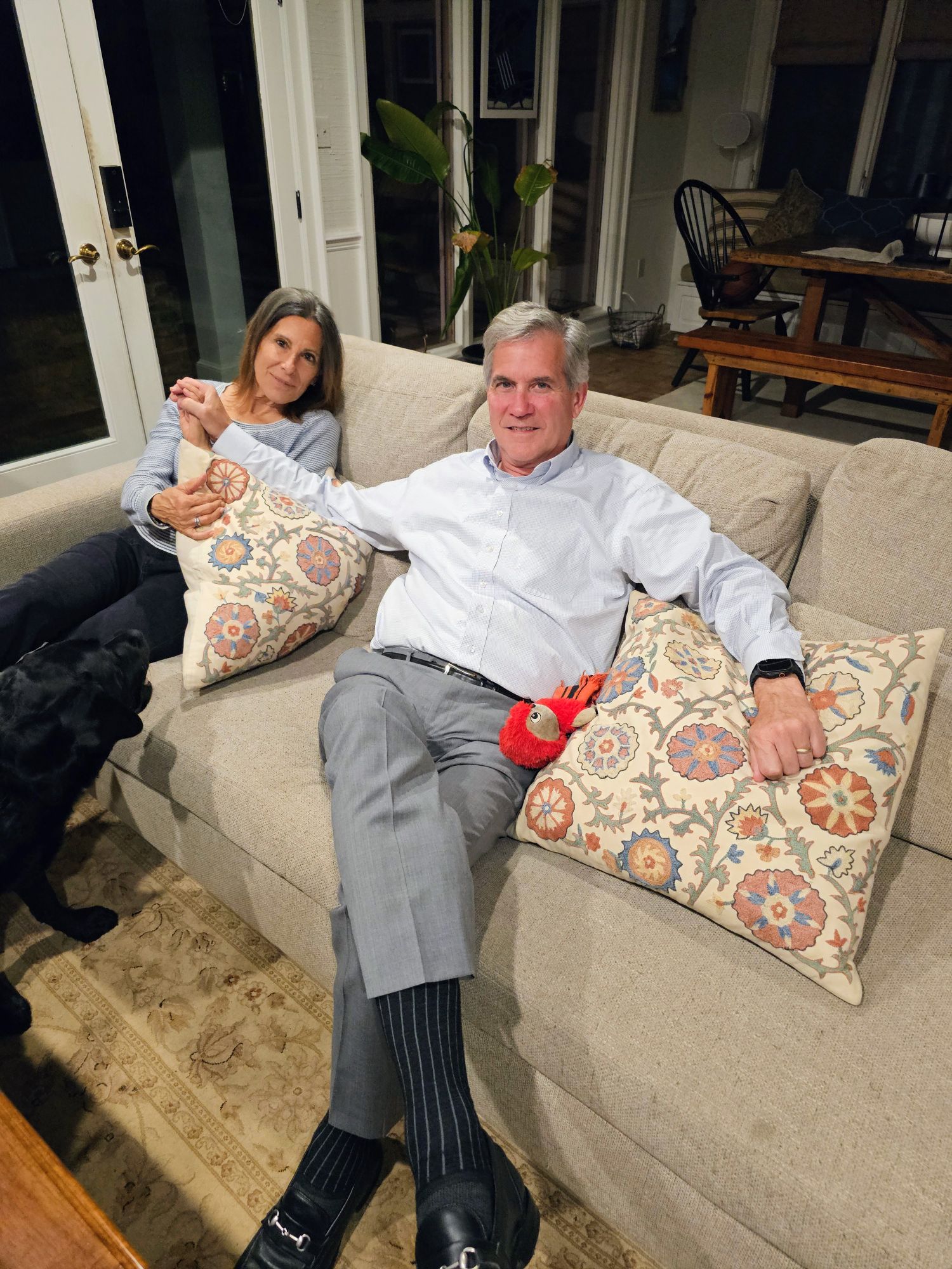
Here’s a final shot of John and Linda (and their fun dog Rosie) in their beautiful home. John just retired as Executive Director of the Port of Mobile, and they are currently cleaning up their belongings while trying to decide where they are going to move to next. Thanks for hosting us you guys!
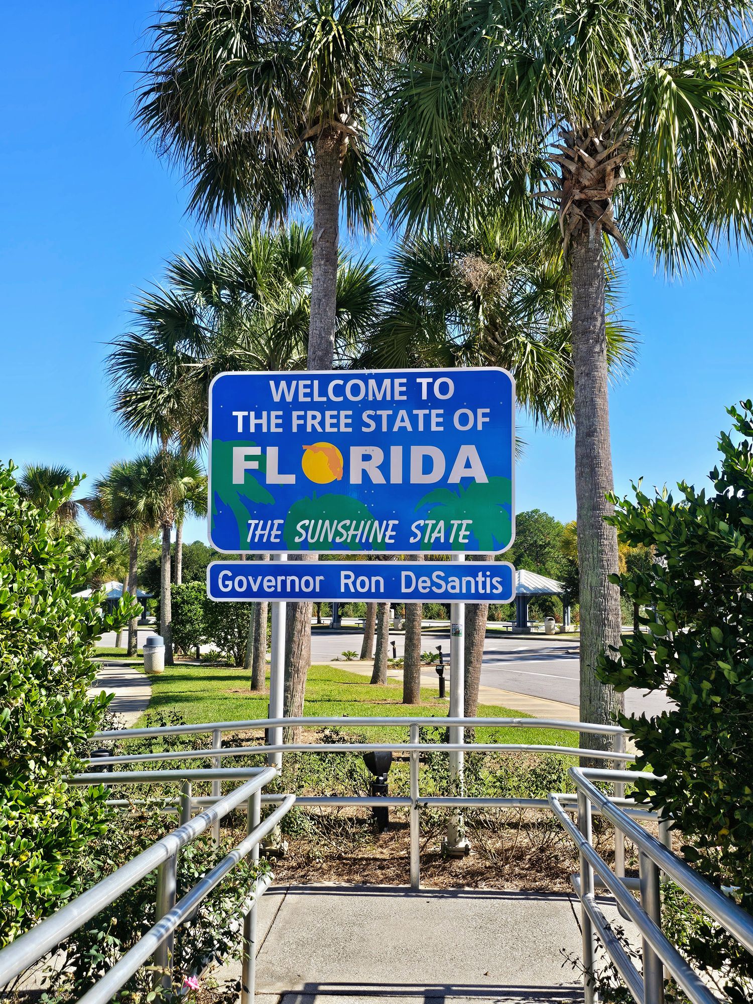
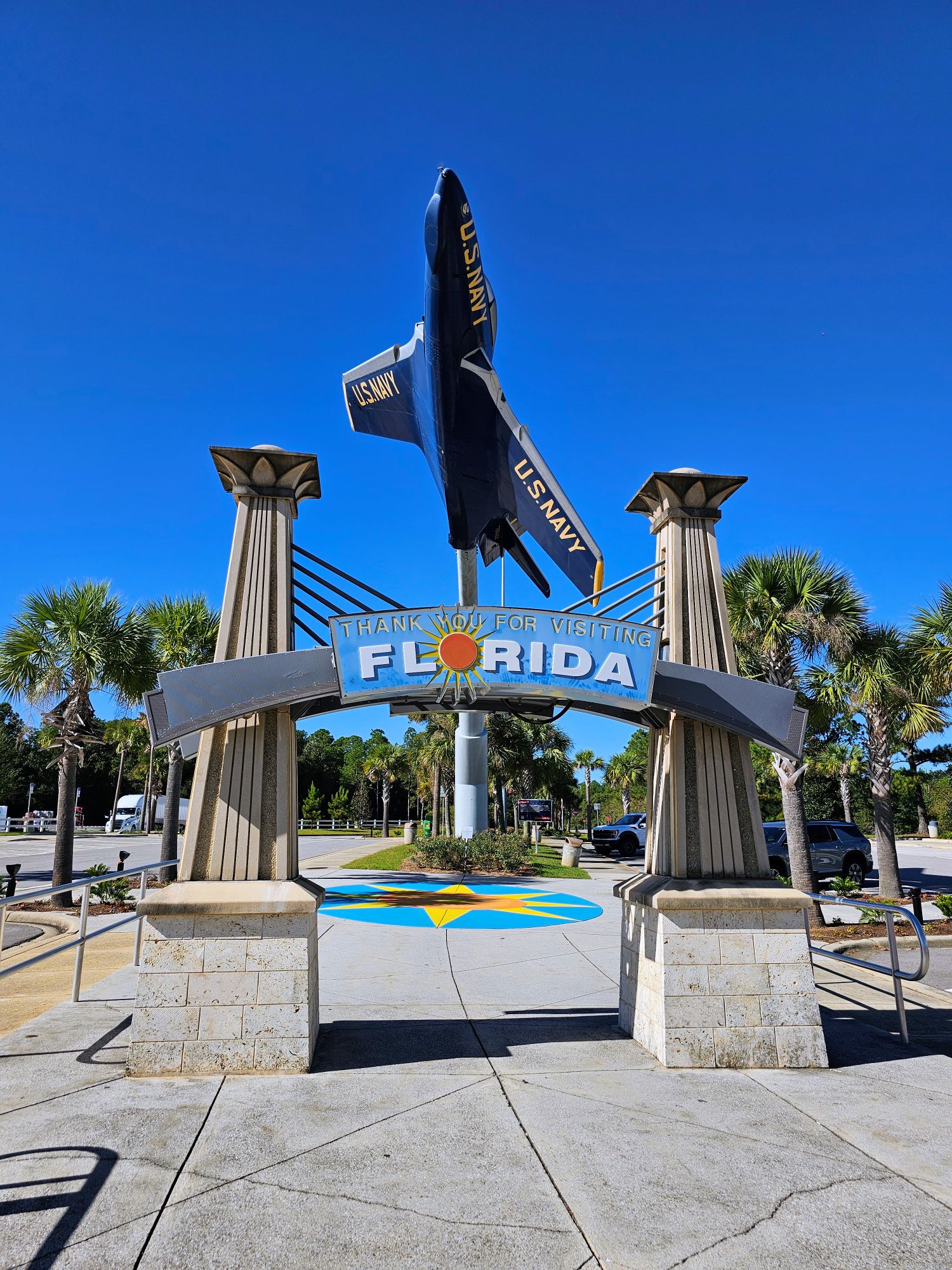
The next morning we continued our drive east, heading towards Pensacola Beach, Florida. This is right after we crossed the state line into “The Free State of Florida”.
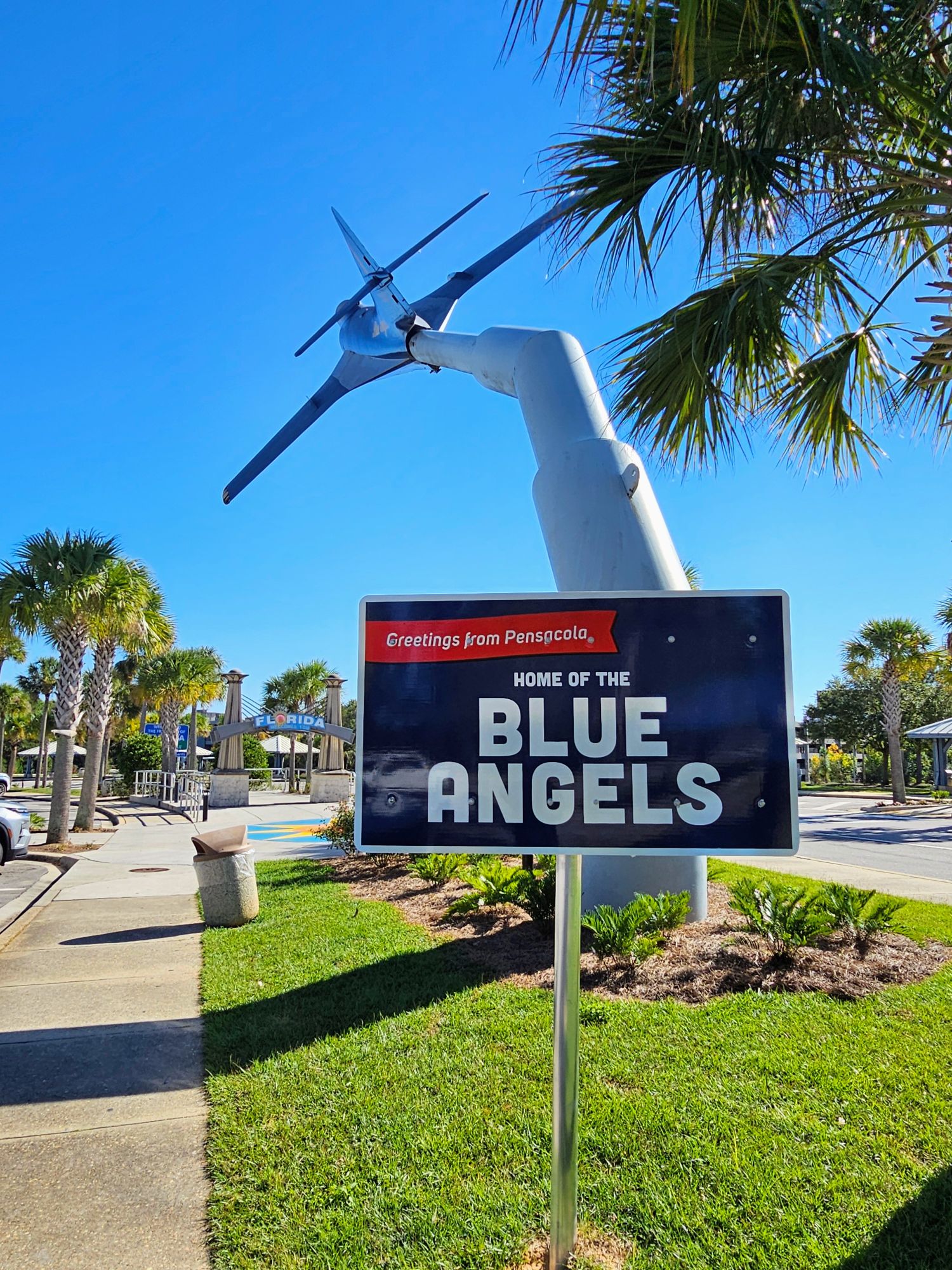
Pensacola is the home of the famous Blue Angels!
We loved the welcome! The rest area is as clean as can be. I think we are going to like Florida!
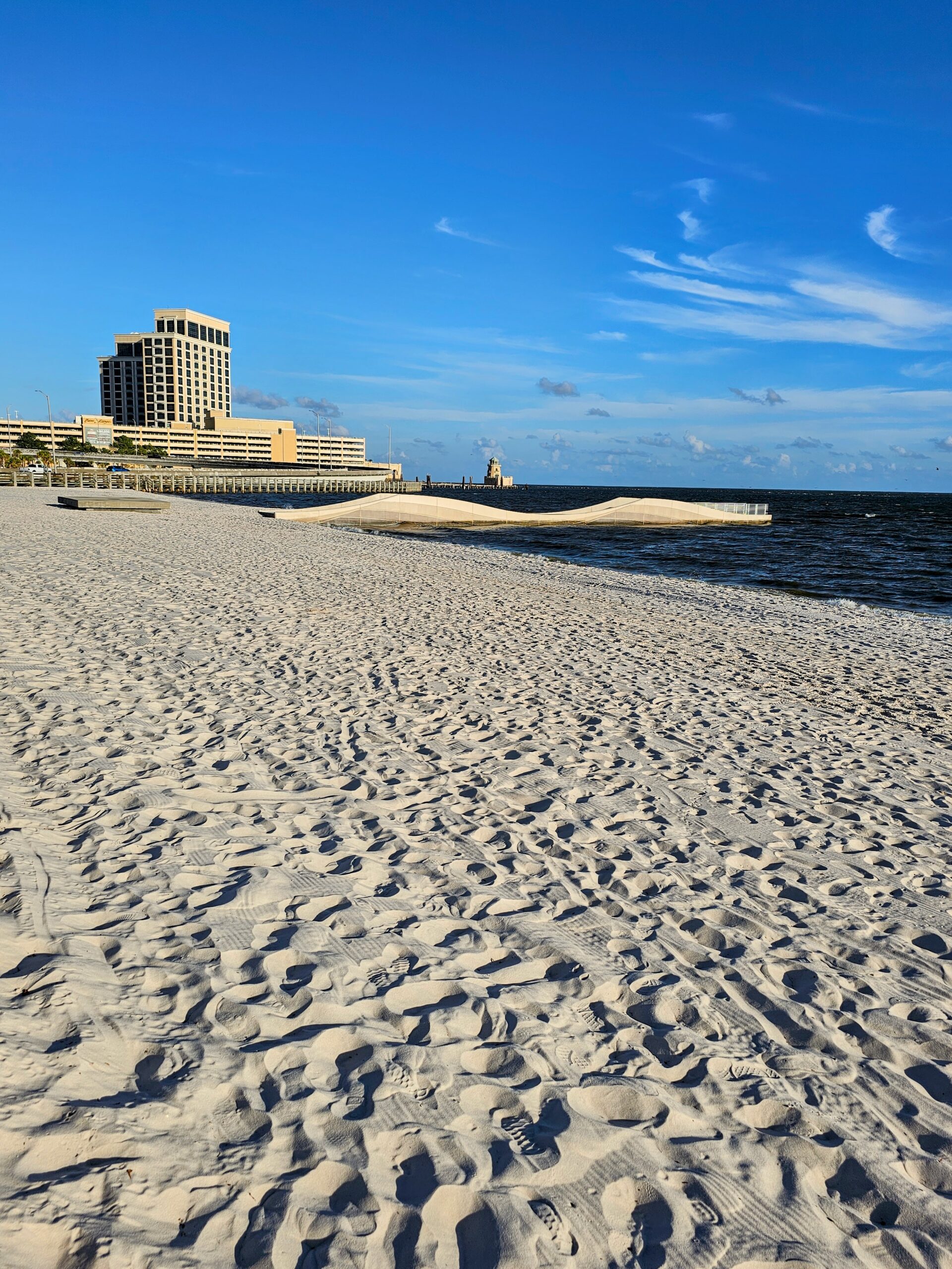
The drive from New Orleans to Biloxi, MS is pretty quick, just 1.5 hours. Neither of us have ever been there so we figured it was worth a visit. I’ve gotta say we were both surprised with how much we like this place! First off, the people are SUPER friendly!! I mean out of your way “how ya doing” friendly! Almost seemed like we were being punked they were so nice! After checking in we took a walk along the gorgeous beach, and ventured out on this small wavy pier. No idea why it was built like this, but it’s pretty!
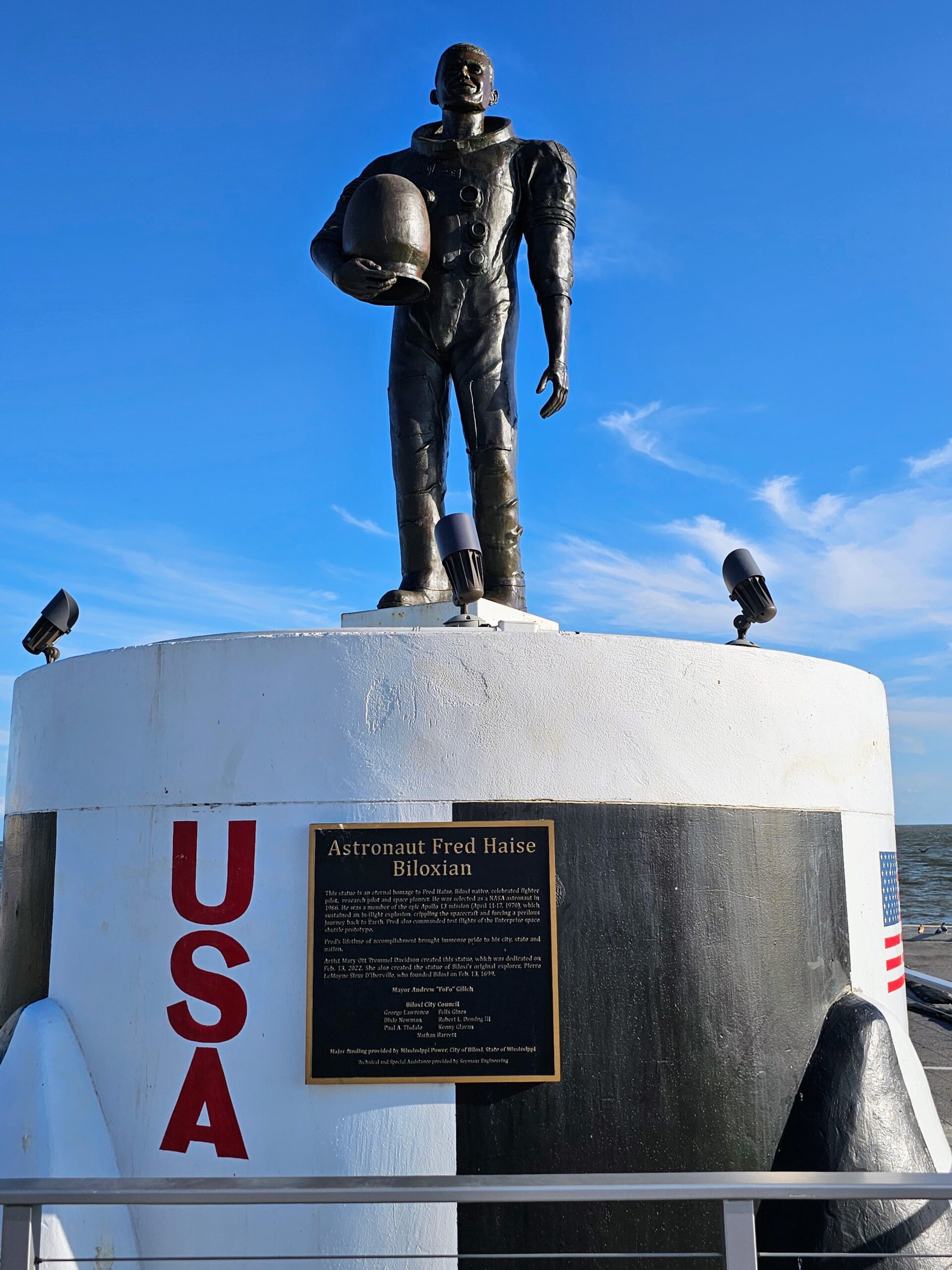
Walking along the beach we reached a parking lot with this statue in the middle. This is Biloxi’s own Astronaut Fred Haise, who was on the ill-fated Apollo 13 of movie fame. Interestingly we just watched this movie maybe a month ago since Fletcher hadn’t seen it. Fred is played by the late great Bill Paxton in the movie.
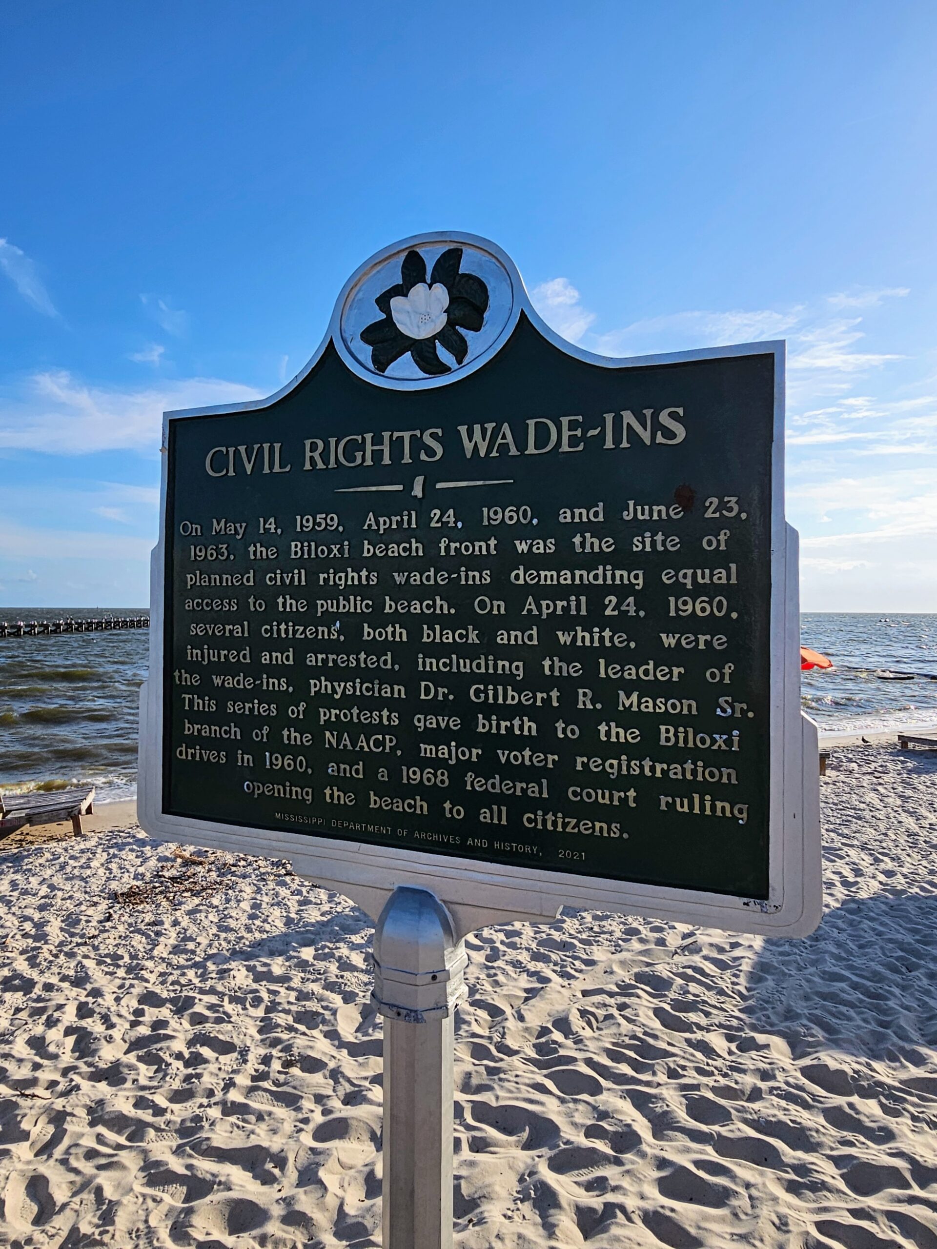
Biloxi Beach is also known for particular civil rights incidents in 1959, 1960 and 1963, known as the “wade-ins”, where black (as well as white) protesters waded out into the water in violation of the “white’s only” beach rules. It wasn’t until 1968 when the beach was opened to all citizens. Hard to imagine!
Looking east back down the beach towards the pier we were on previously, and the casino in the background (which we avoided completely). The sand here is so beautiful!
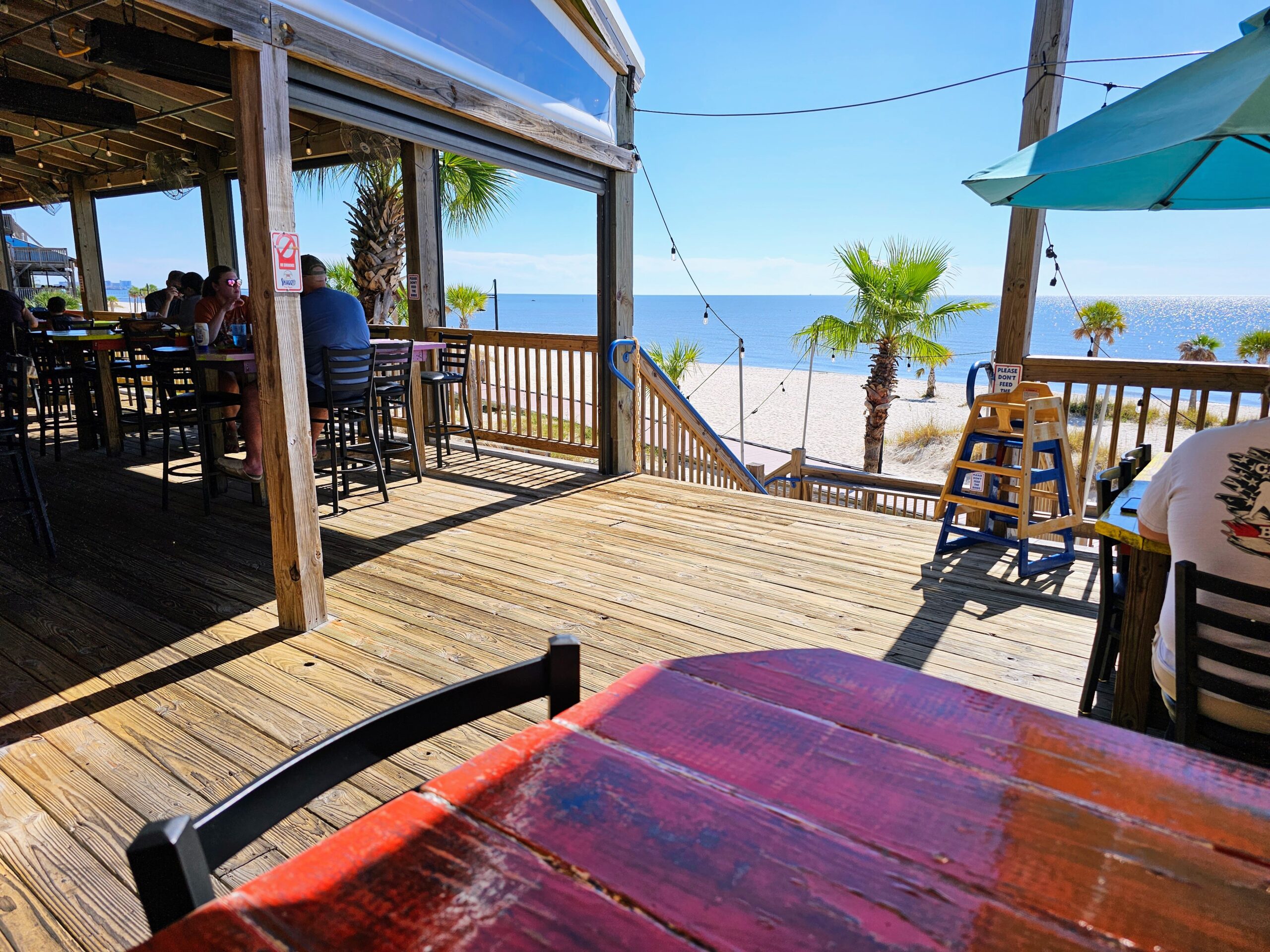
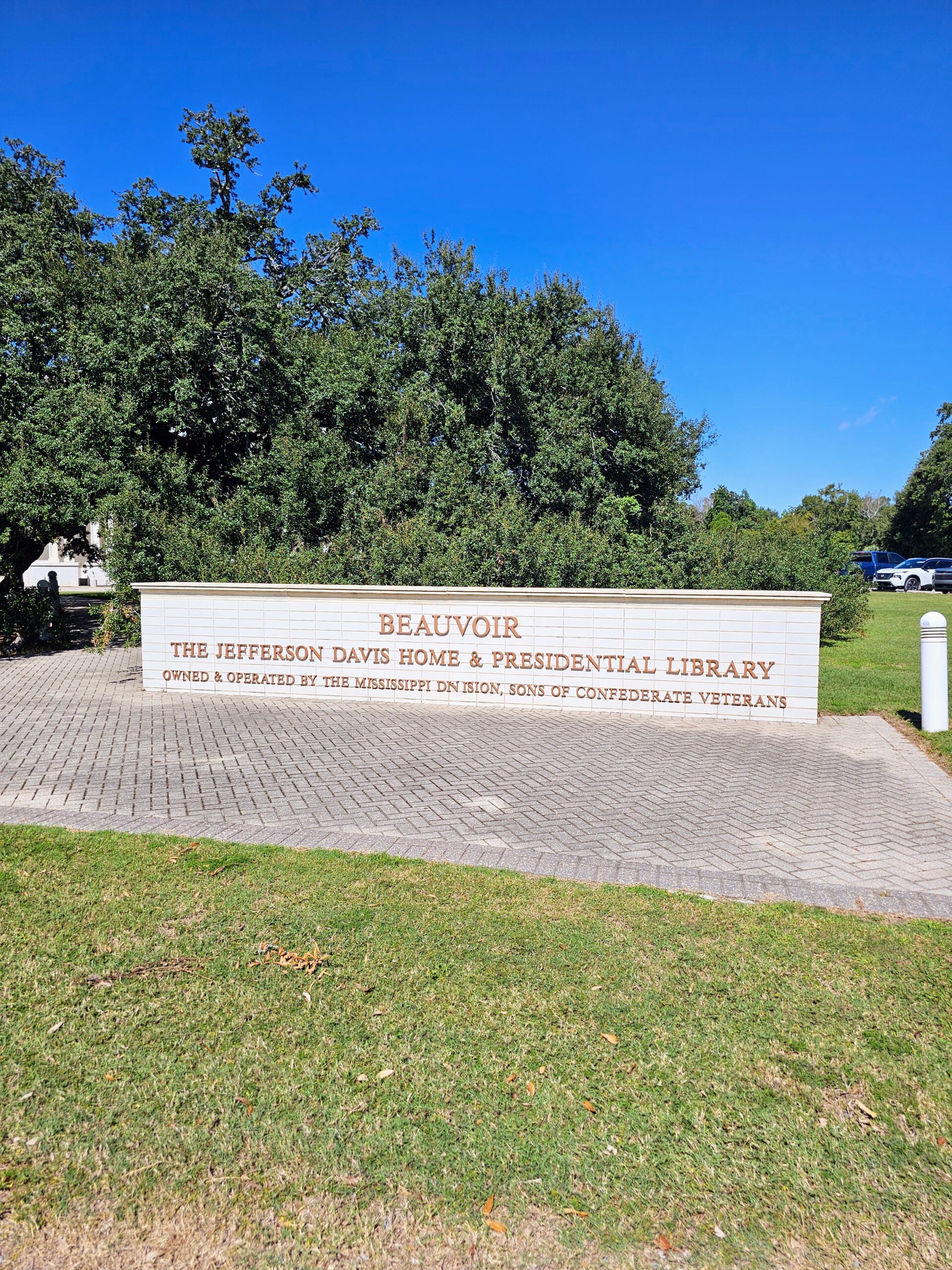
We were lucky enough to be in Biloxi on the weekend when the locals perform a Civil War Reenactment at Beauvoir, the last home of the President of the Confederacy, Jefferson Davis. Before we went to the show we stopped for lunch at Shaggy’s, right on the beach. Great food and great views from our table.
We arrived at Beauvoir and parked in front of the visitor center and Presidential Library. It was a little surprising that they had a biker gang in charge of security and parking control, but they were friendly enough.
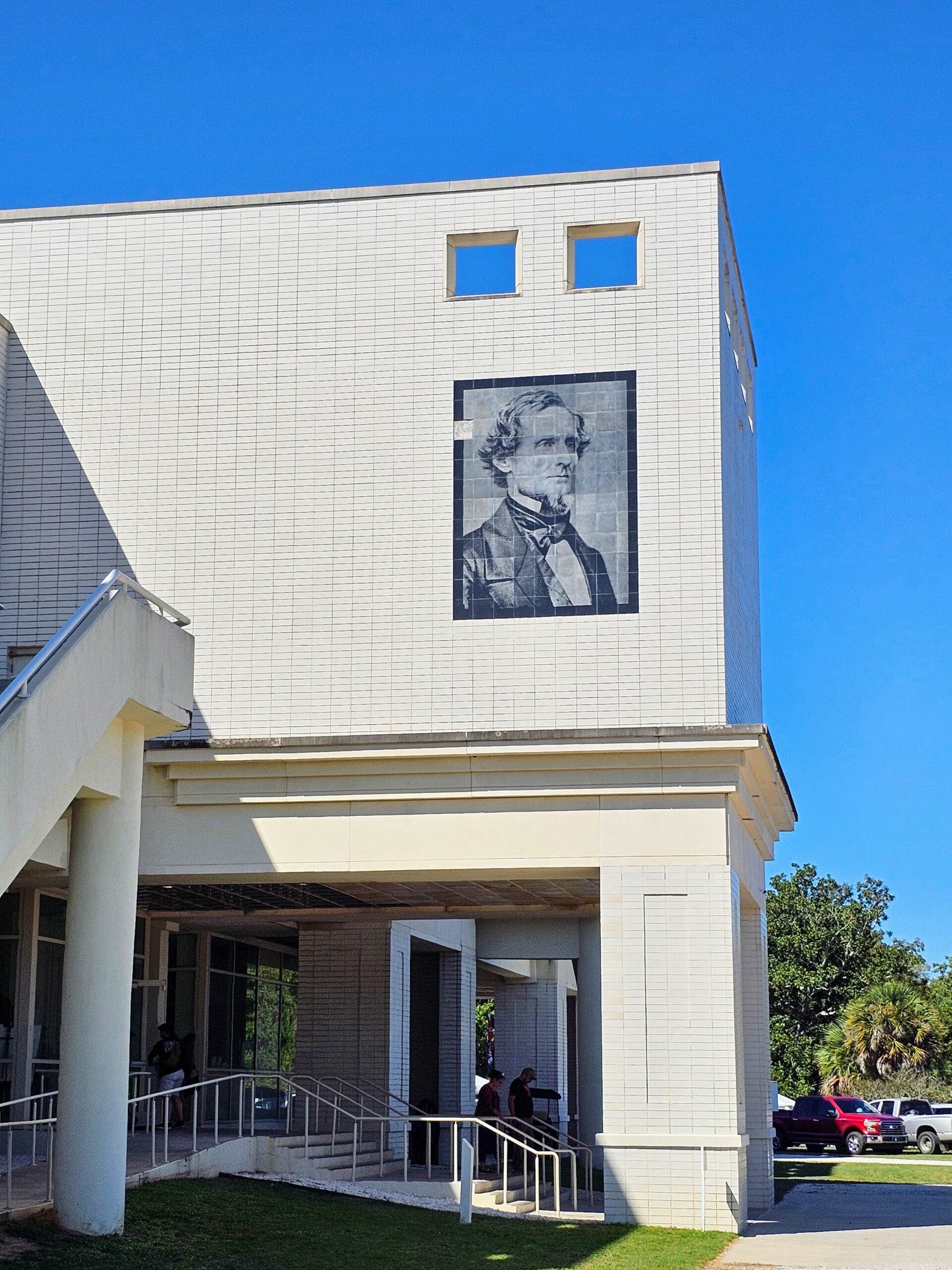
This is the entrance to Jefferson Davis’ Presidential Library.
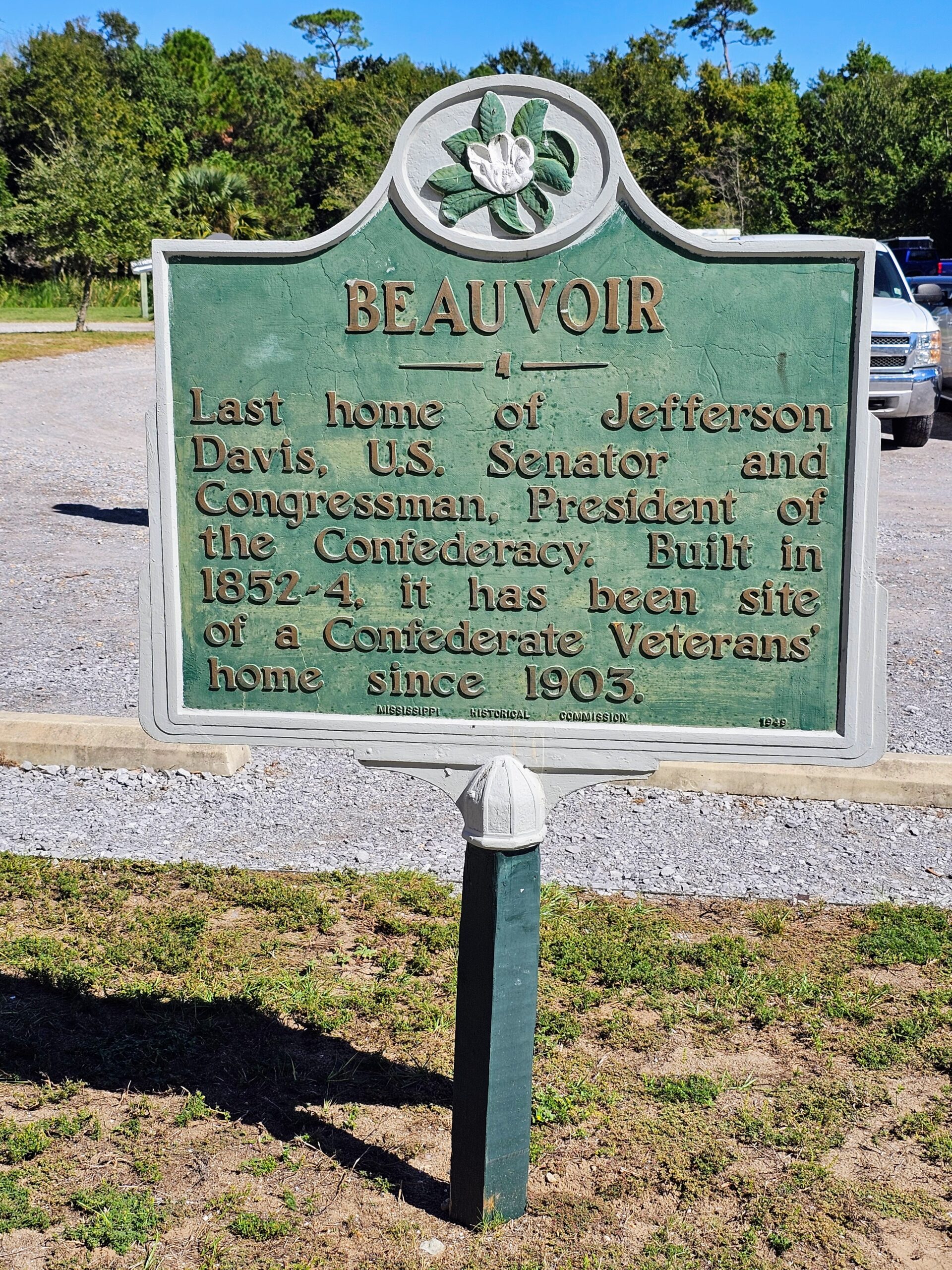
Just across from the entrance is this historical marker. Jefferson Davis’ home was used as a Veteran’s home for former Confederate soldiers after Jefferson passed, from 1903 until 1957, with more than 2,000 veterans, wives and widows living out their final days here.
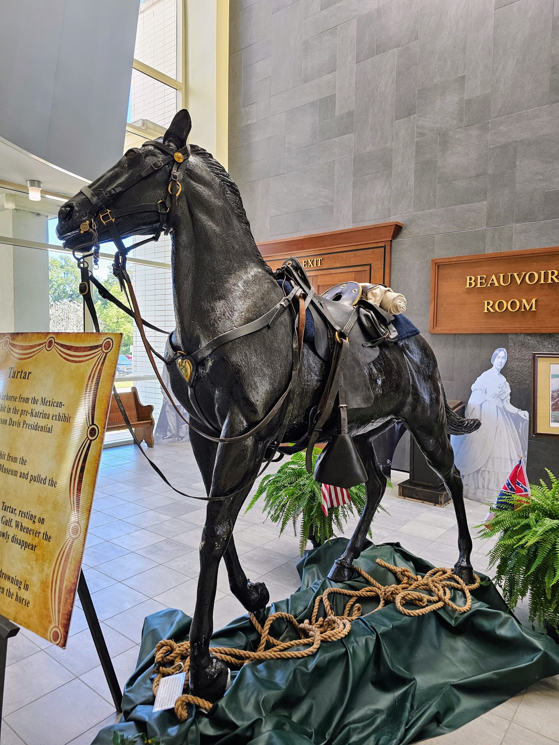
There is a good but very dated 27 minute documentary playing in the library that gives the history of Beauvoir. Just outside the theater is this statue of Jefferson Davis’ horse Tartar. Hurricane Kristina ripped Tartar from the library and dropped it out in the Gulf of America. Whenever the tide went out, Tartar, resting on all fours, would rise from the Gulf. When the tide came back in he would disappear. After a few weeks he was retrieved and brought back to the library.
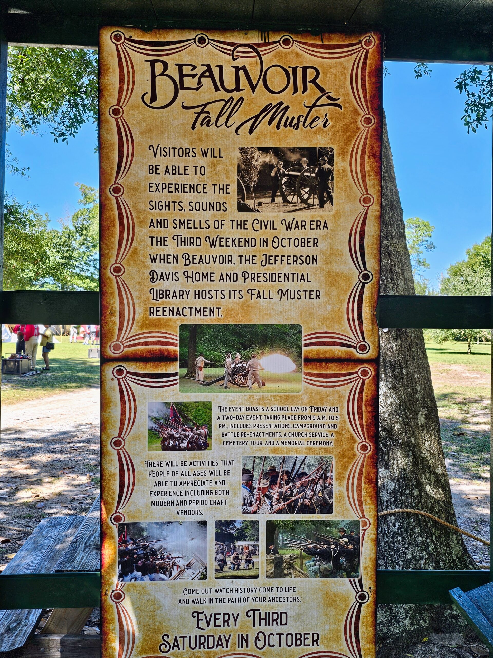
This is the sign for Beauvoir’s “Fall Muster”.
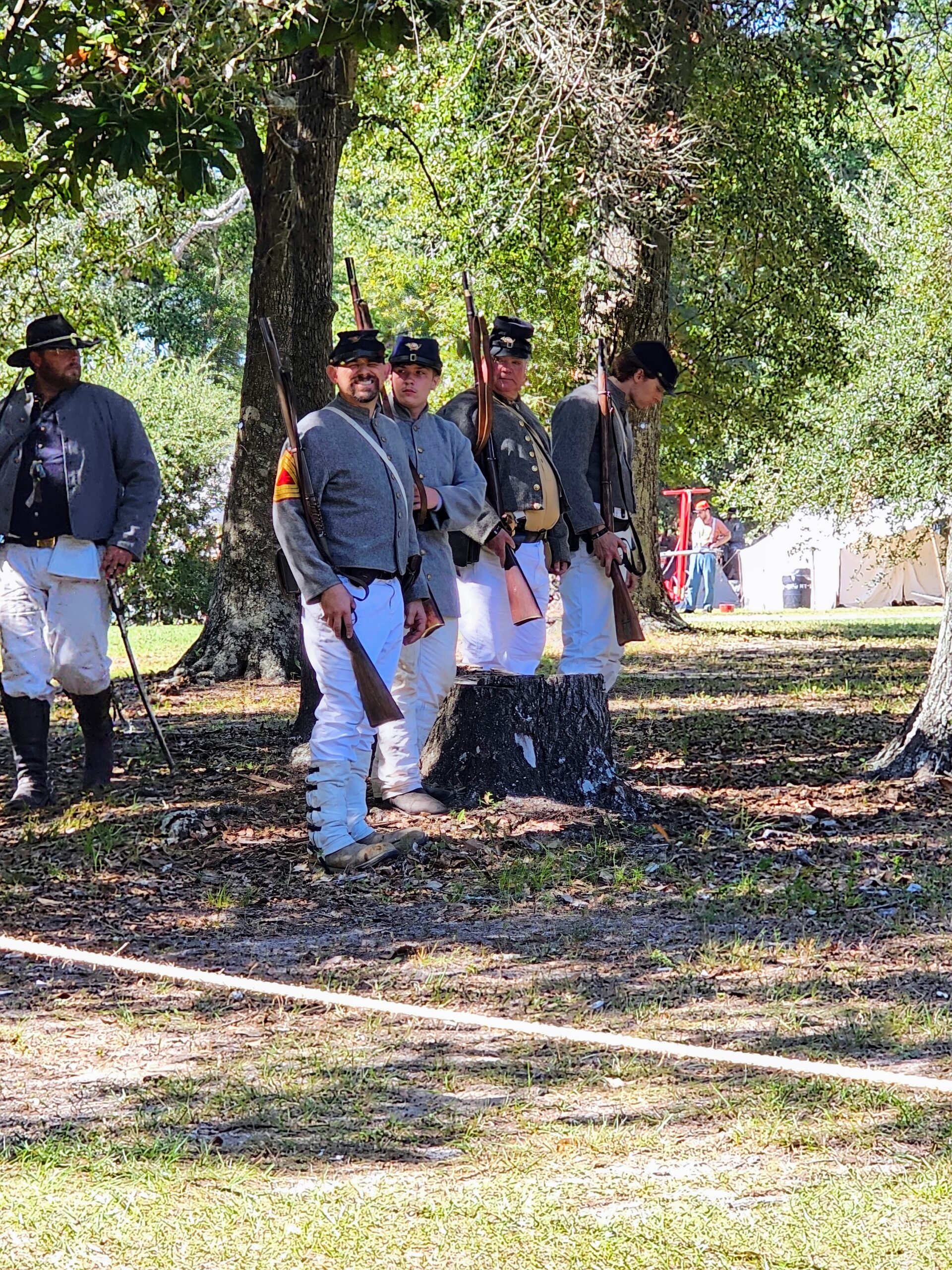
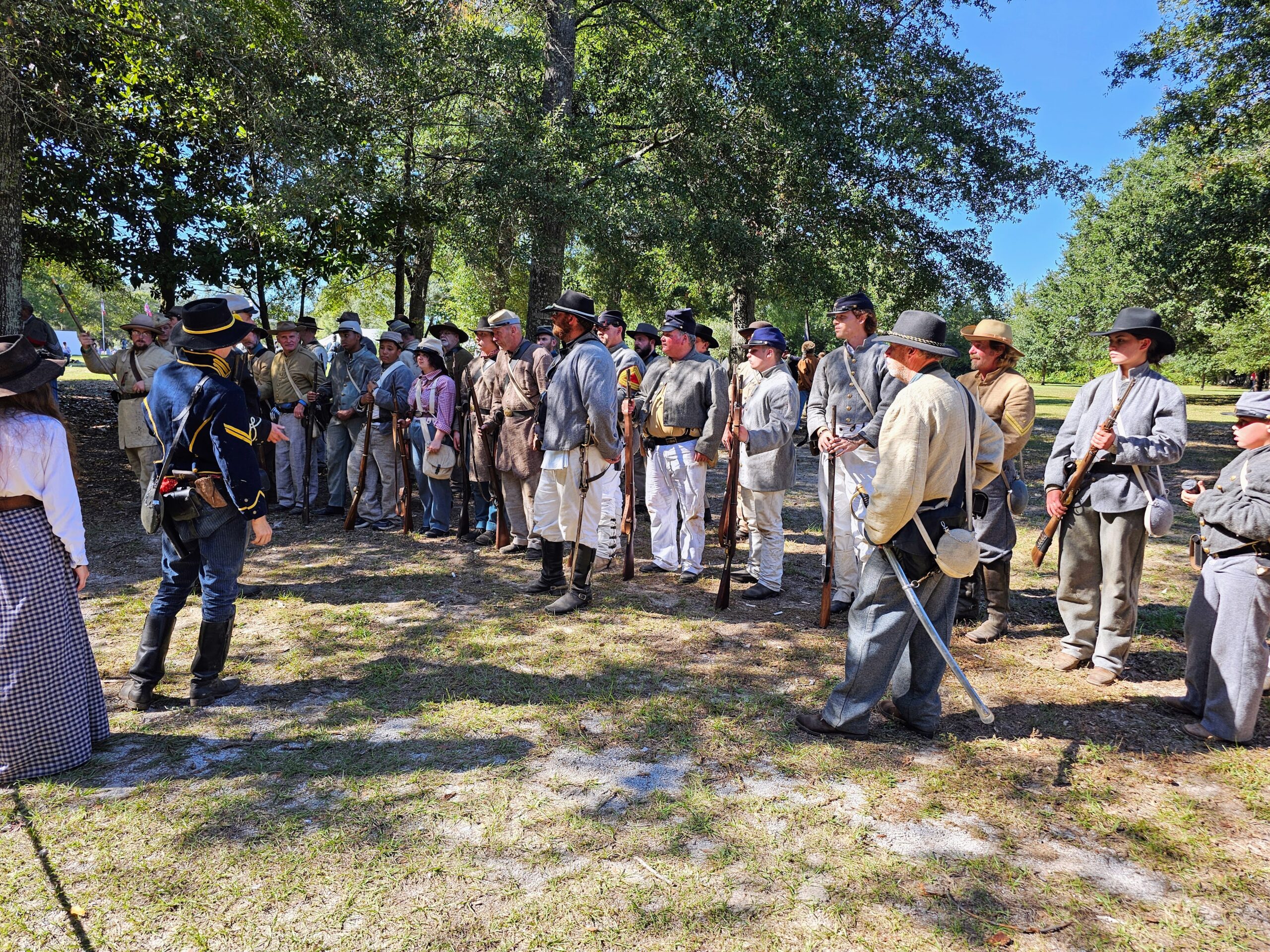
The attendees go to great pains to come up with the most authentic uniforms possible.
They had about 10 big-ass cannons, 5 on each side of the conflict, that were freaking loud as hell! I mean make you jump out of your seat loud! The black powder rifles were like cap guns by comparison.
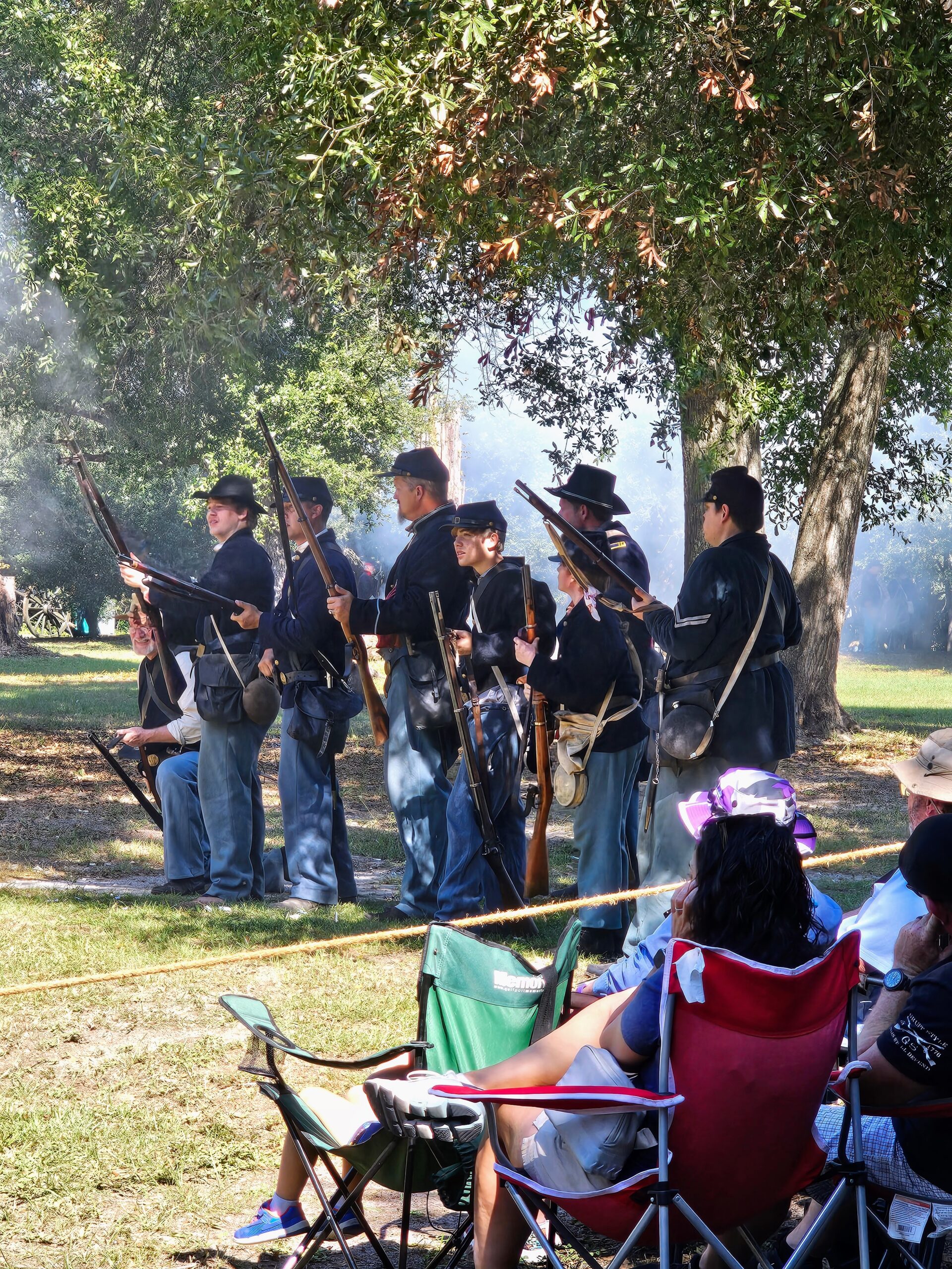
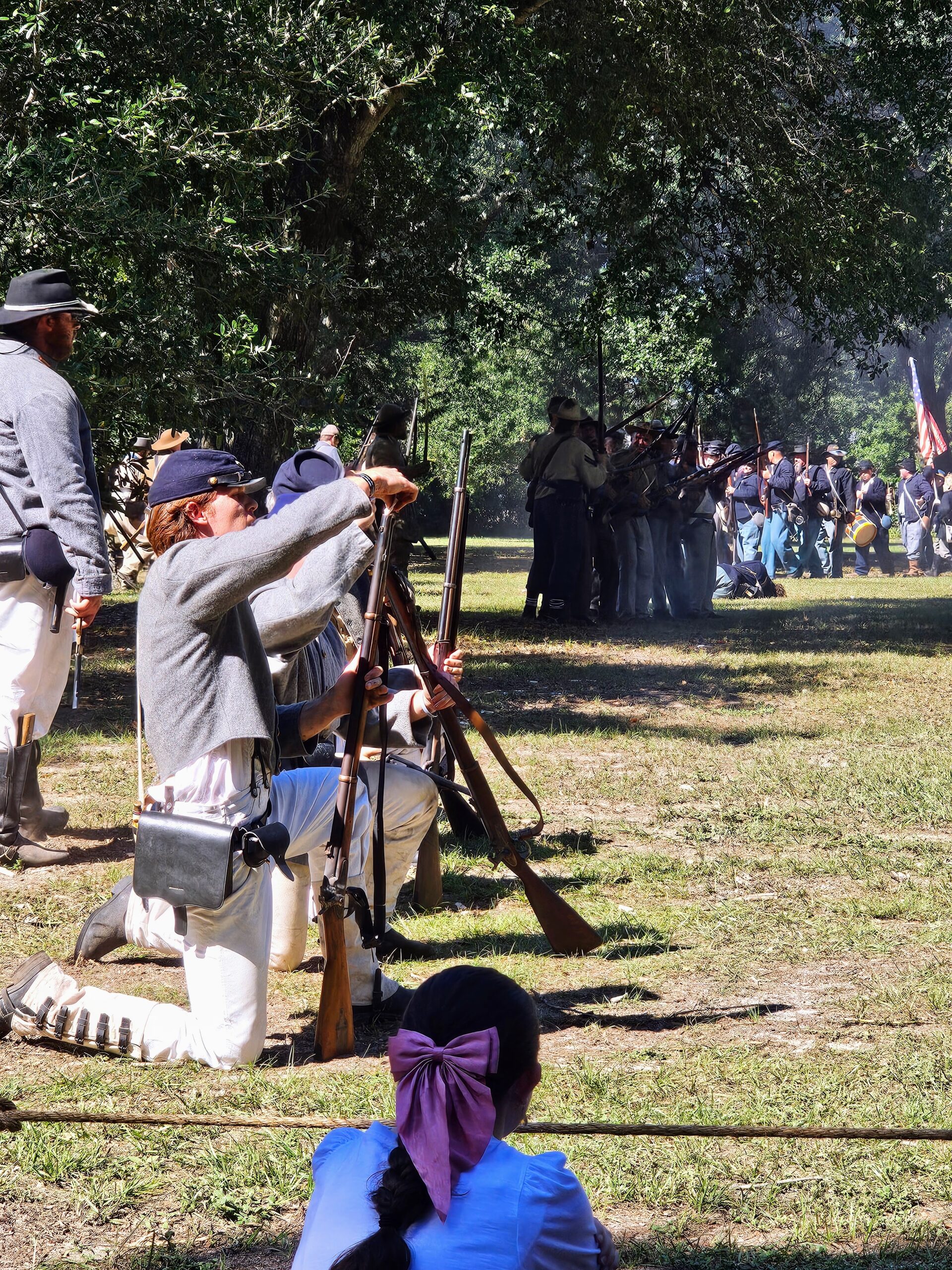
Here are the Yankee’s trying to outflank the Confederates.
The Confederates are reloading as fast as they can here.
Videos are really the only way to really describe the reenactment.
After the reenactment they had a final salute to all military, police, fire fighters and medical personnel. It’s obvious these guys are extremely patriotic!
The commitment to the uniforms is excellent. Nicely done guys!
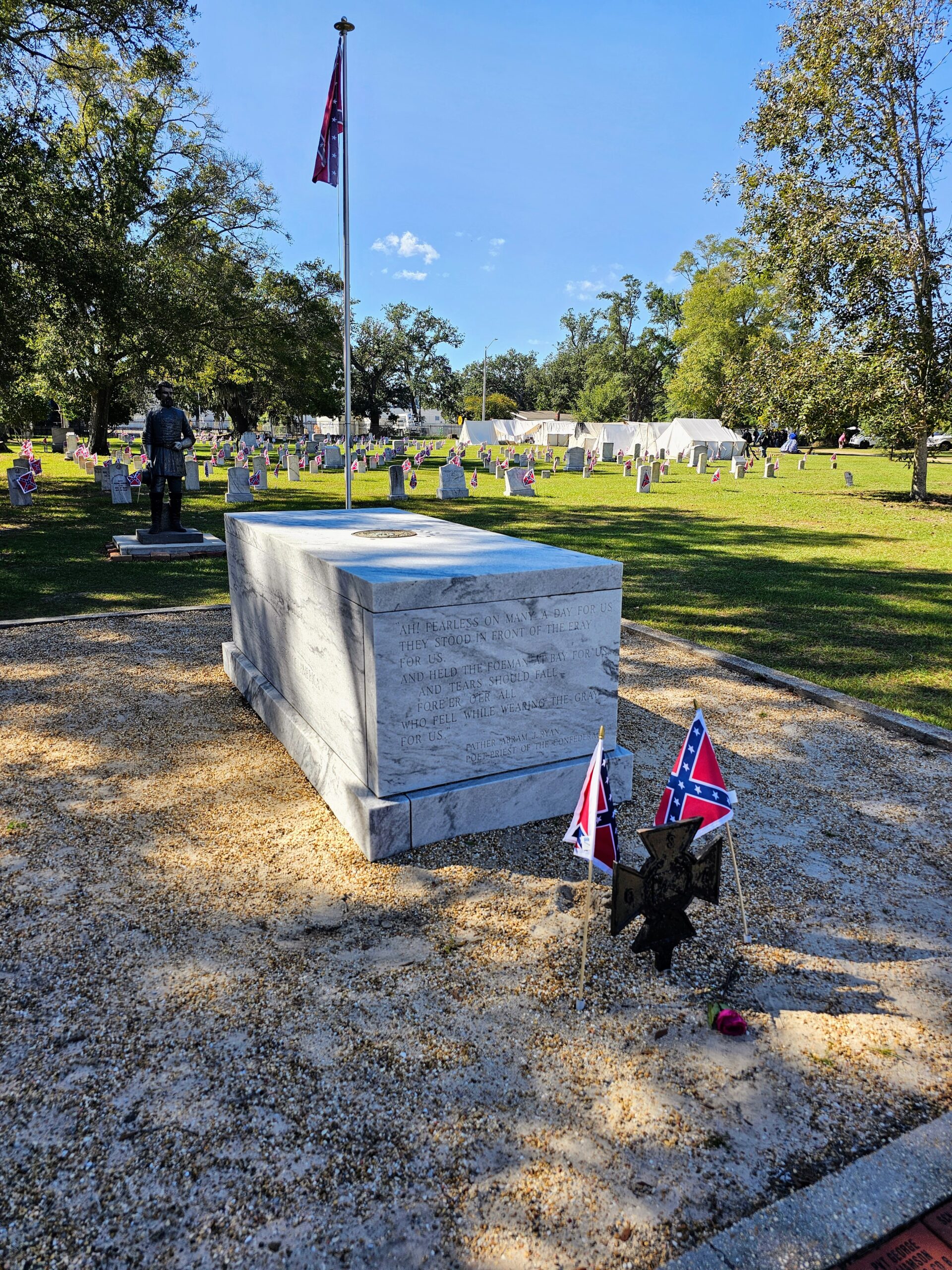
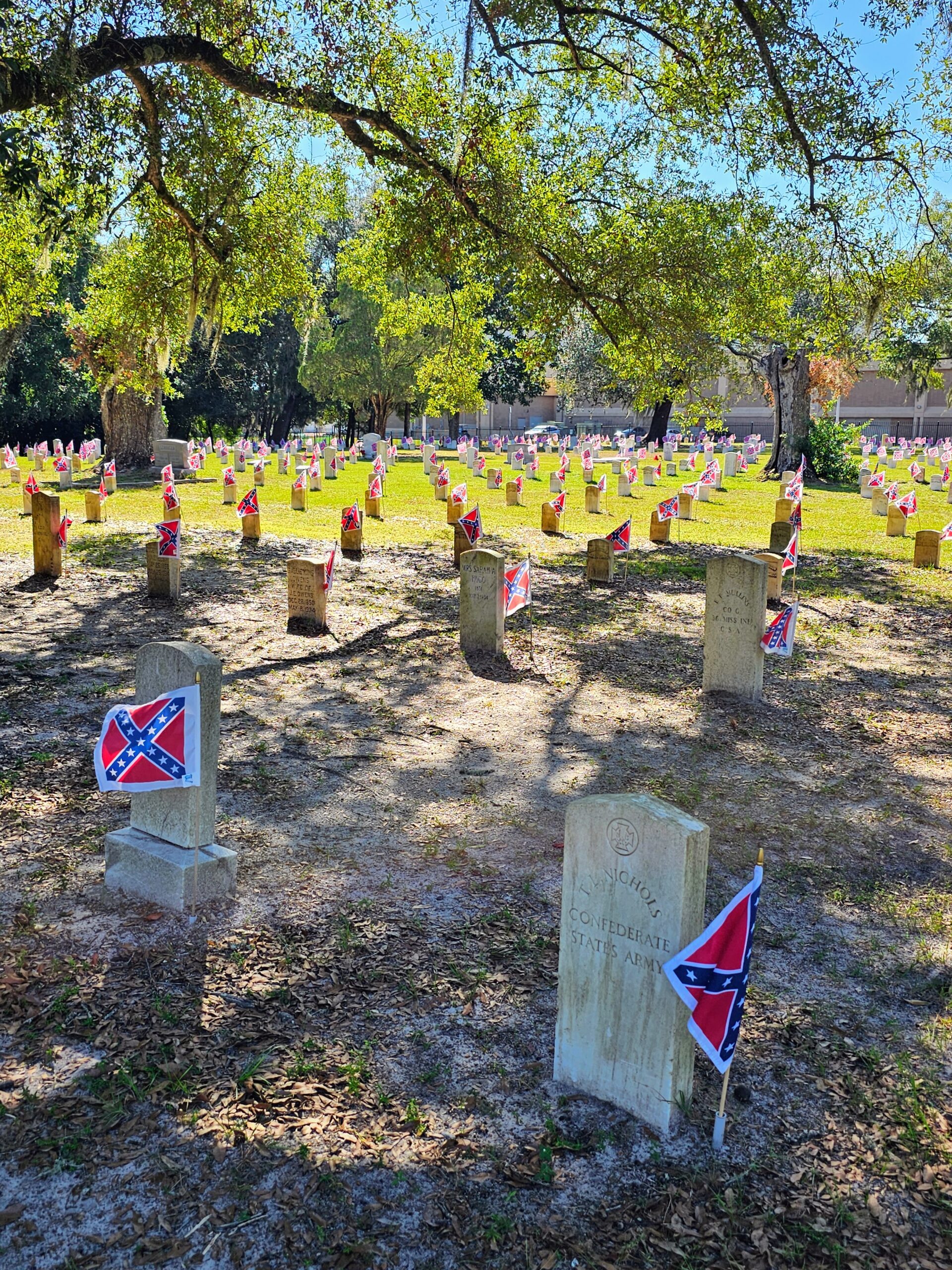
We then walked over to the graveyard, which has it’s own Tomb of the Unknown Soldier.
As well as the graves of the Confederate veterans who spent their last years here at Beauvoir when it was a rest home.
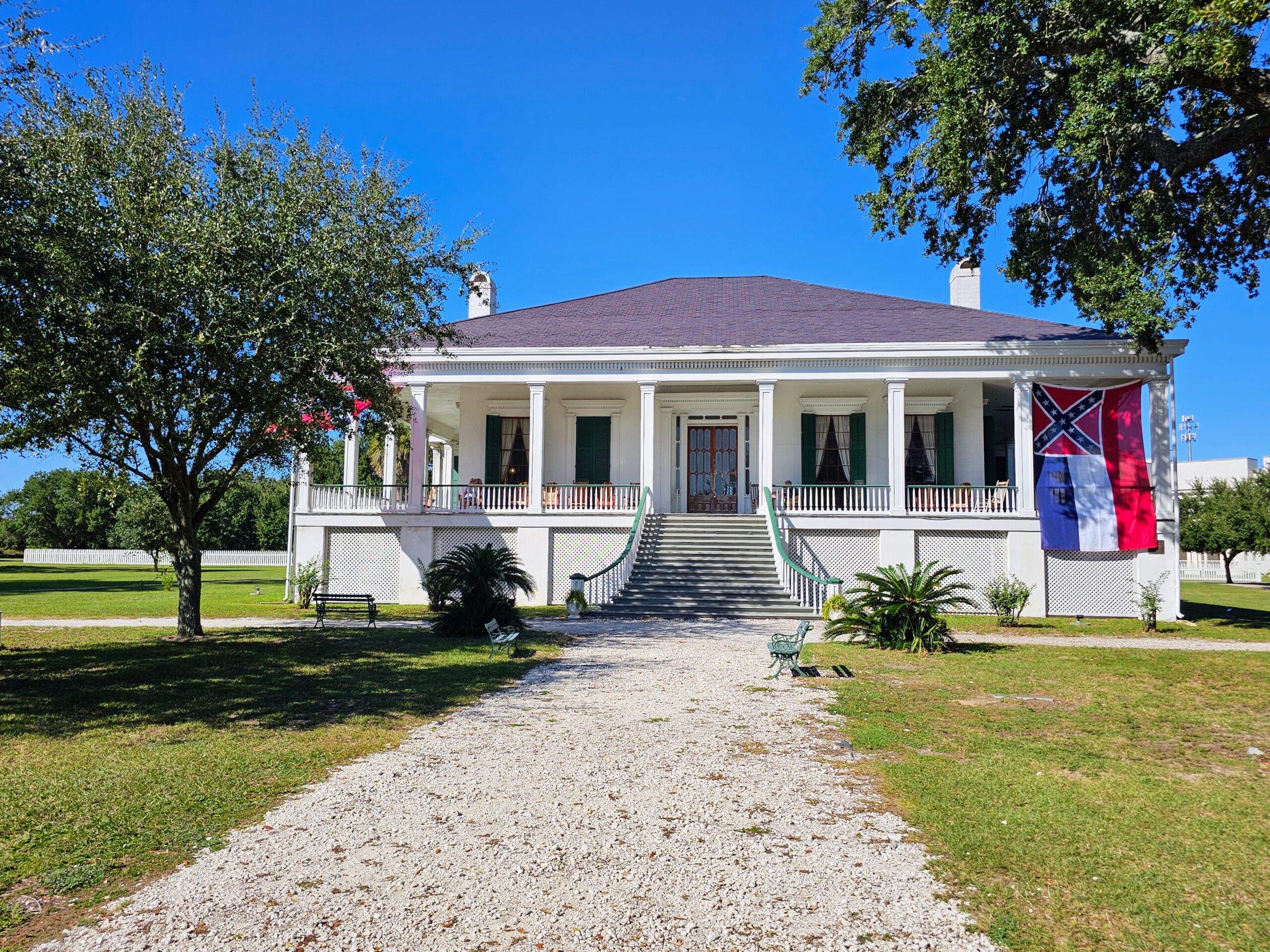
The last part of our visit was the actual home of Jefferson Davis, where the name Beauvoir came from. Beautiful place!
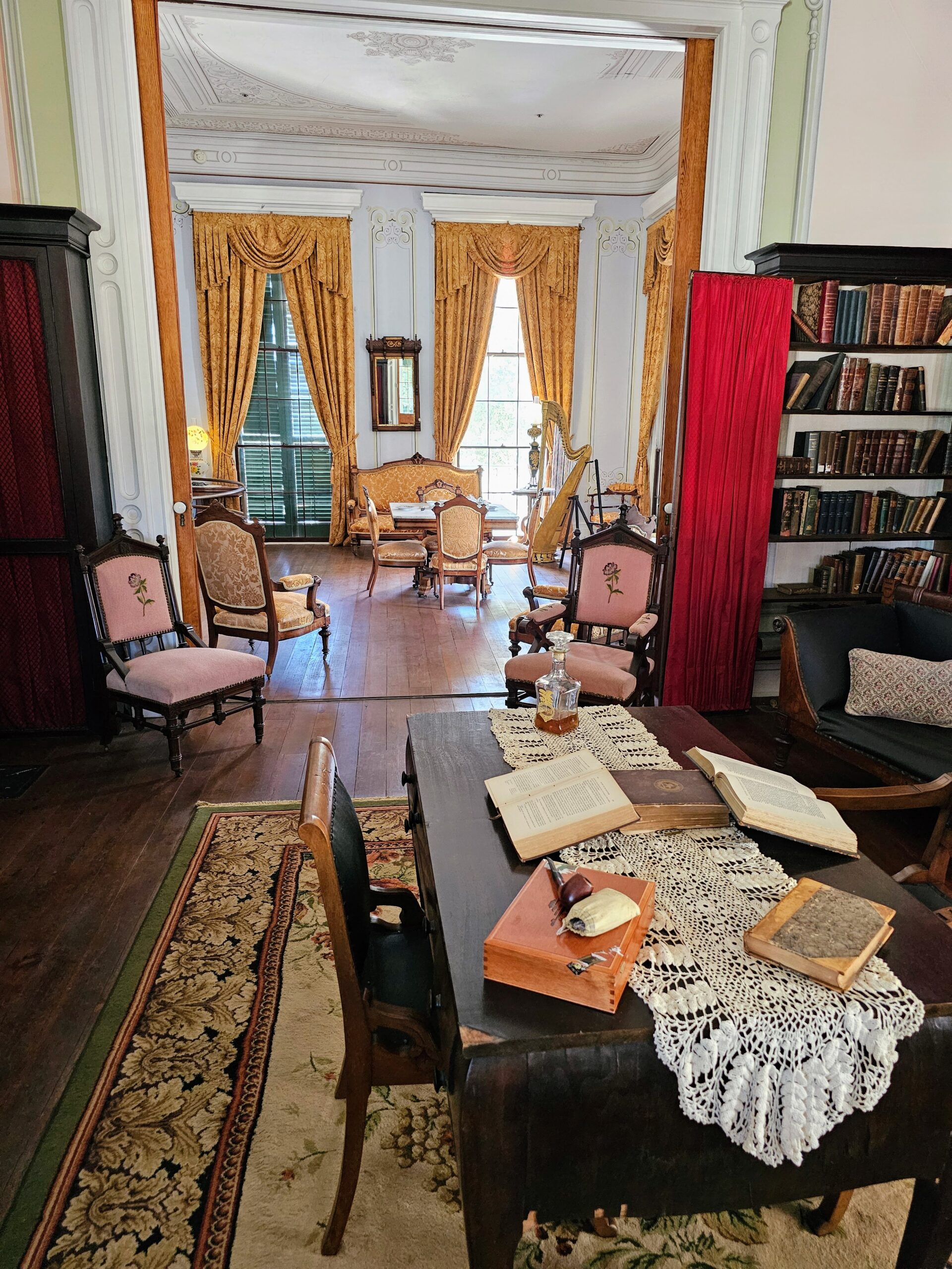
The interior is set up exactly as it would have been when Jefferson wrote his memoir, “The Rise and Fall of the Confederate Government”.
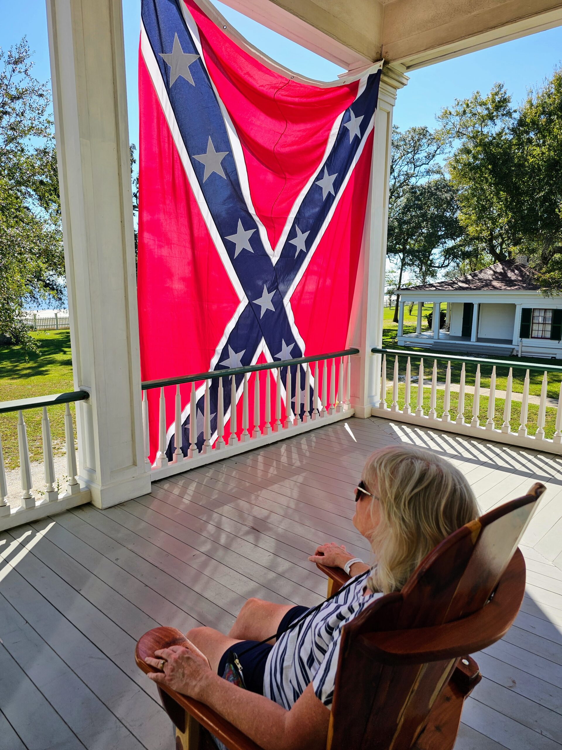
The porch looks out onto the Gulf of America. Life is rough! Just a quick note, what is known as a Rebel Flag was simply a battle flag during the Civil War that made it easier to tell who was a Confederate and who wasn’t. Before this flag came into being there were numerous friendly fire incidents, since the original Confederate Flag looked too much like the American Flag when it wasn’t windy. They like the battle flag in Mississippi!
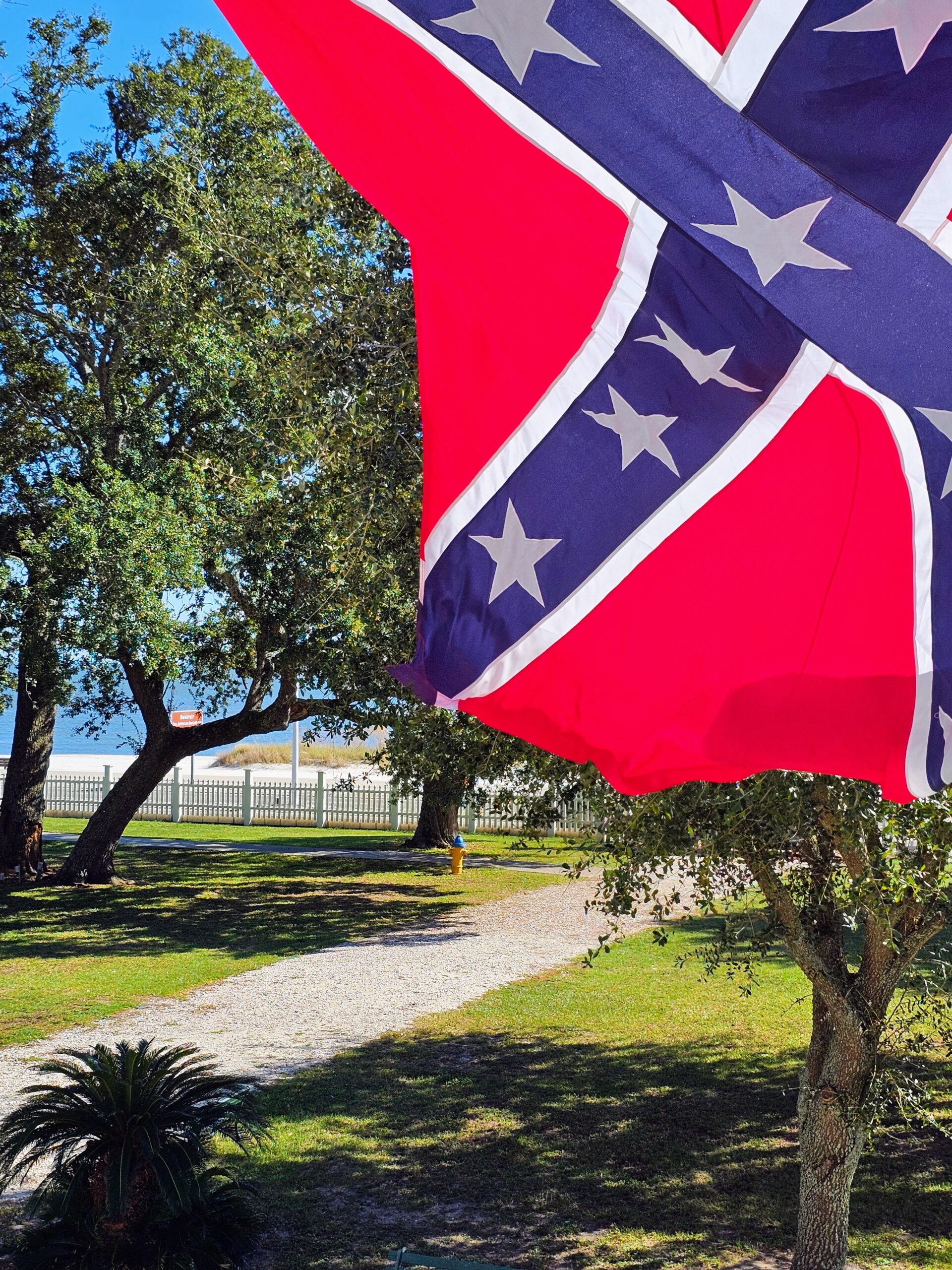
A view of the ocean from the porch of Beauvoir.
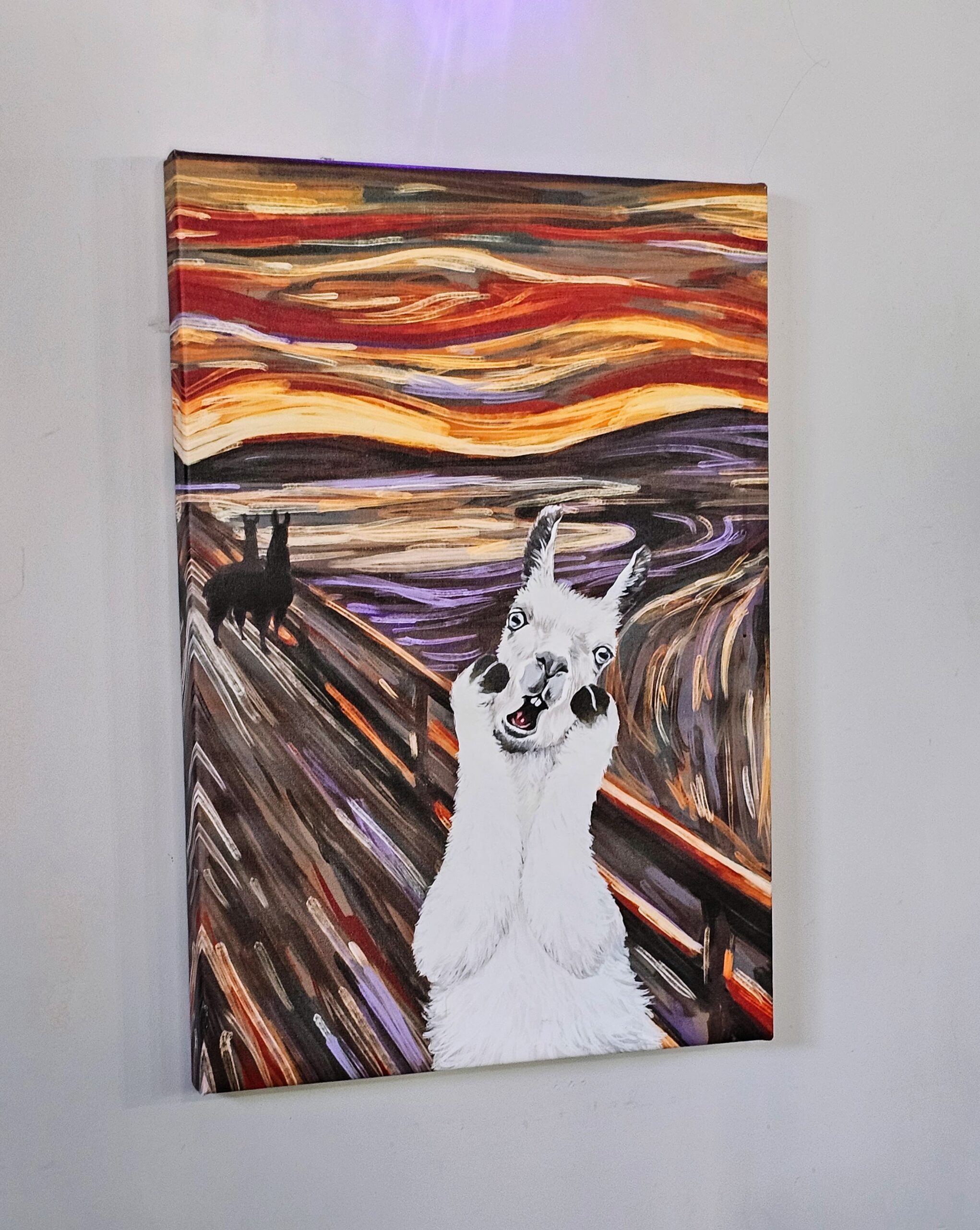
We stopped at a brewery afterwards, Fly Llama Brewing, since they have a lovely Amber Ale I had tried the evening prior. I loved their depiction of “The Scream” by Edvard Munch.
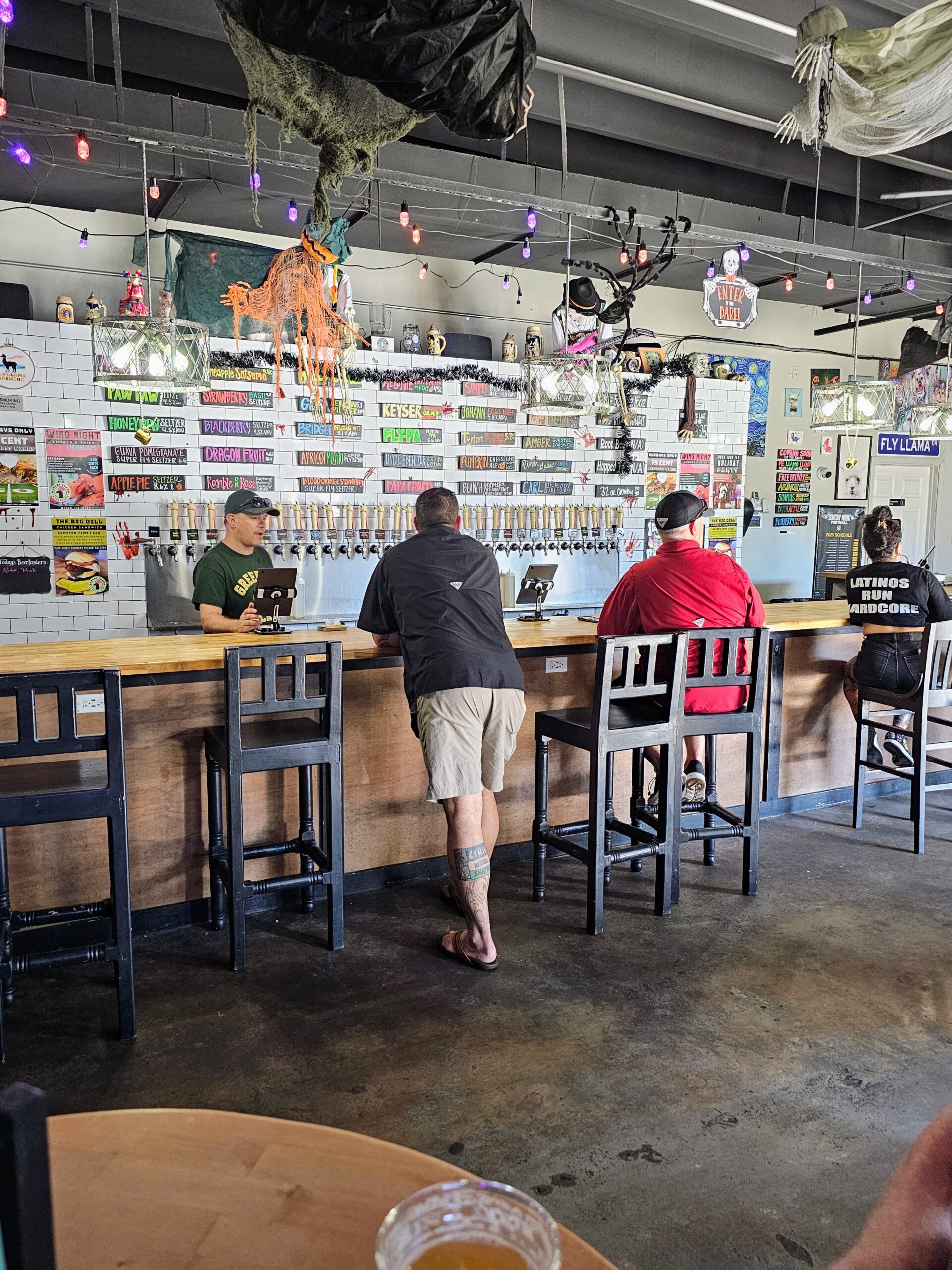
Excellent beers with great atmosphere. I wish we had a place like this in Livermore! Look at all of those taps….32 different beers and seltzers!
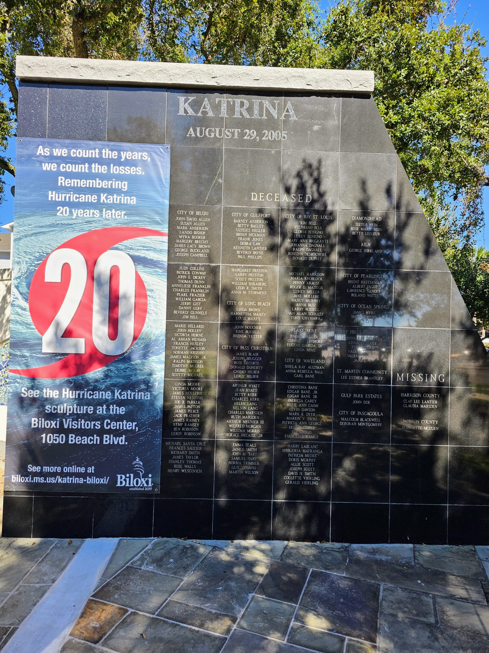
Right across the street from our hotel is a Hurricane Katrina Memorial, listing all of the locals lost during the storm.
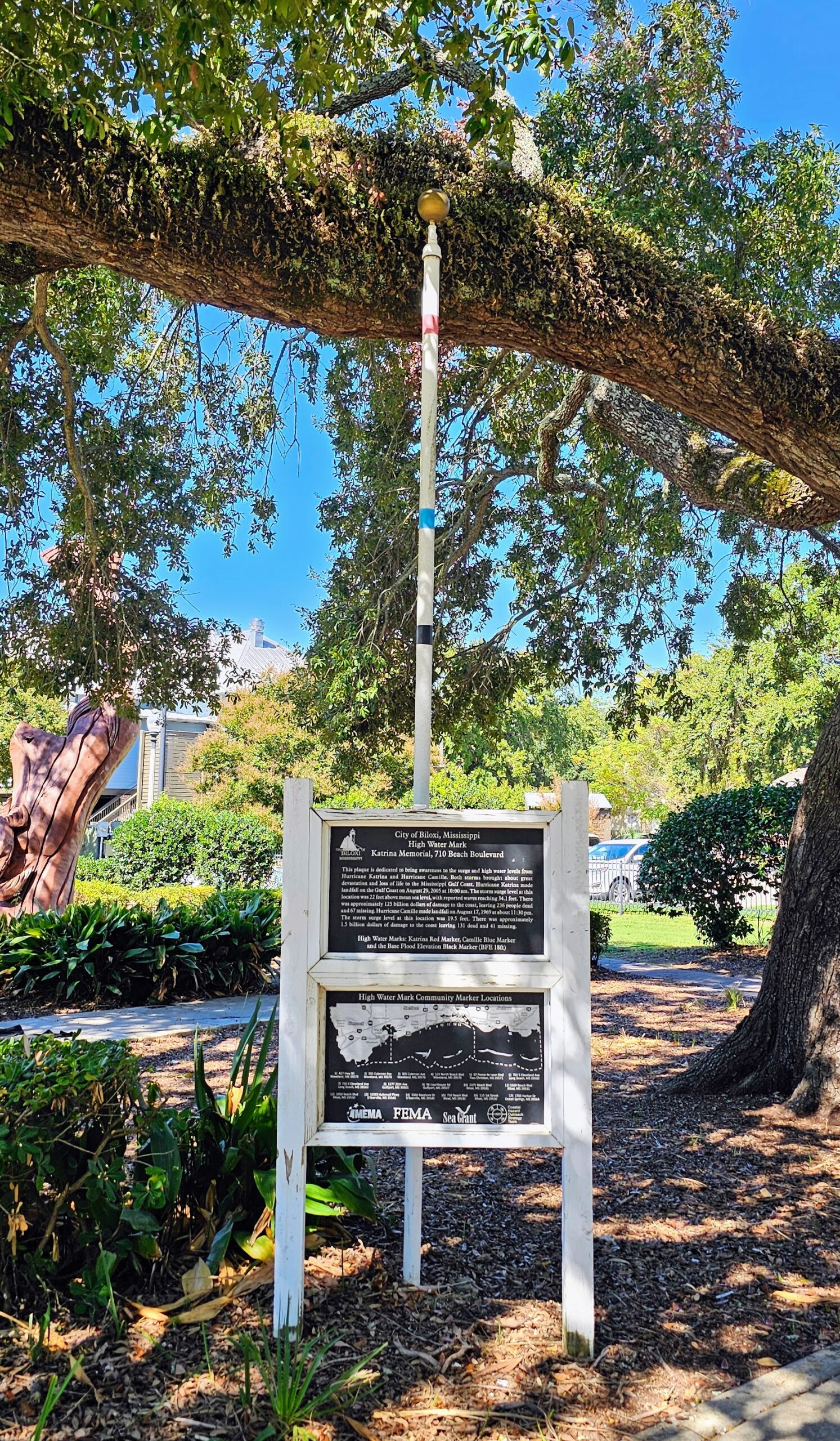
This pole depicts where the water level was during Katrina (red marker), when the storm waves reached 34.1 feet above average sea level.
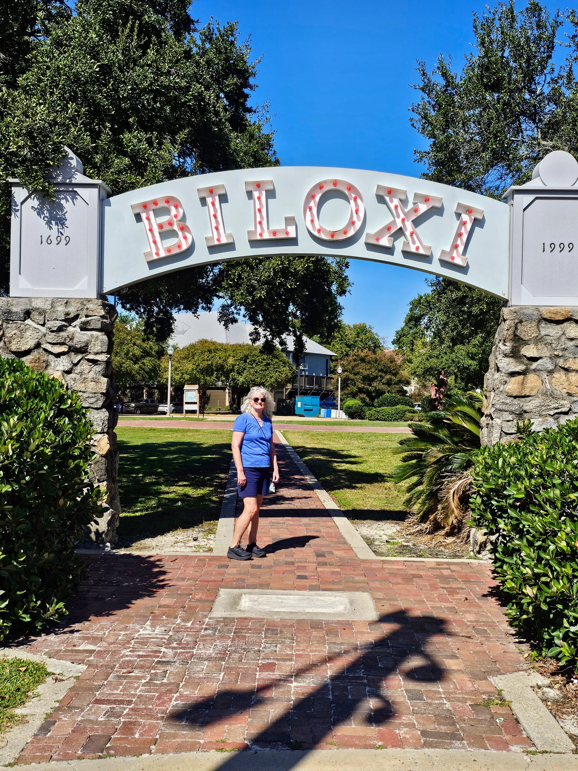
The old-school city sign next to the memorial is pretty cool.
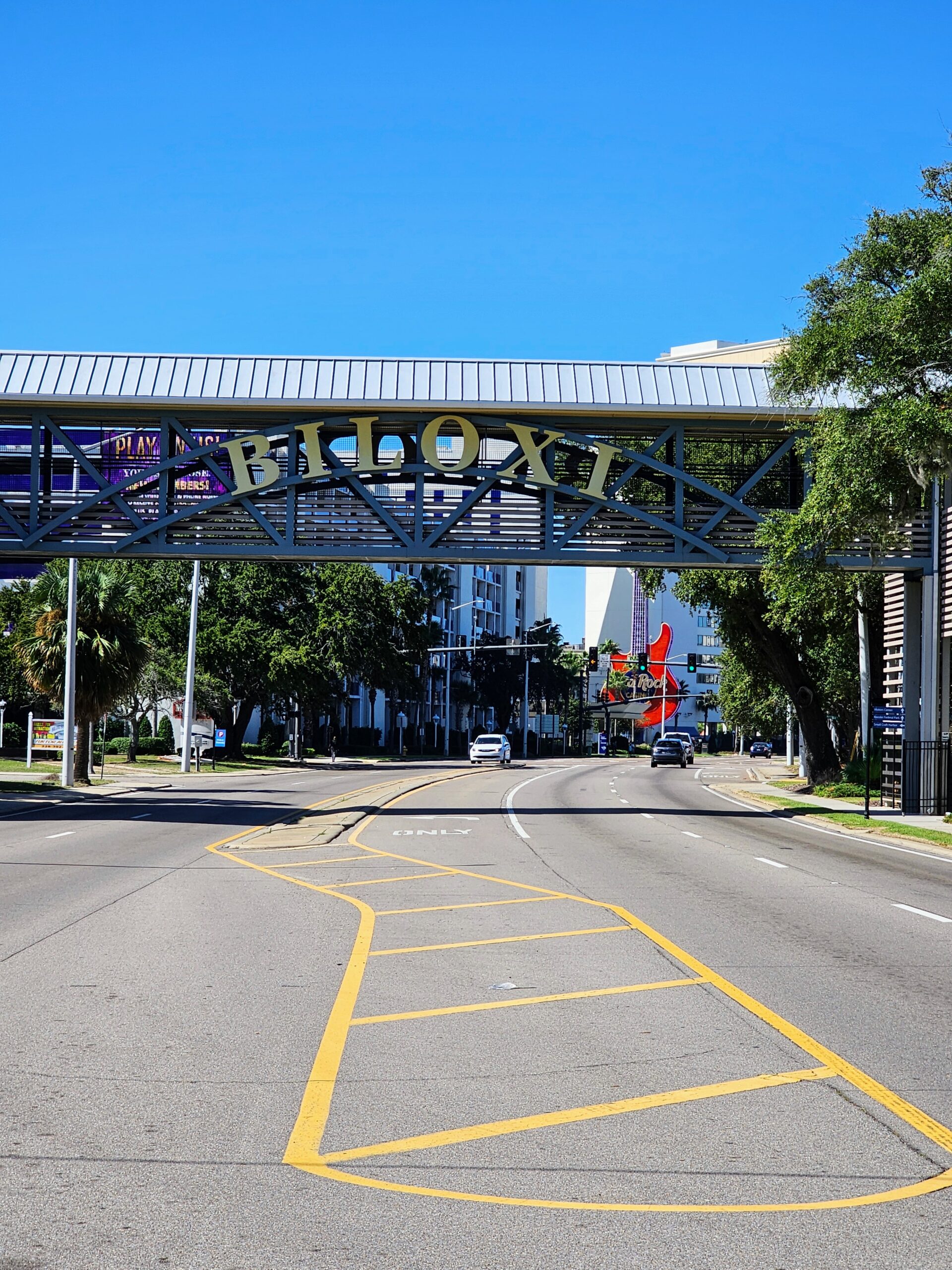
As is the sign as you enter/leave the city.
Coming up next, we visit Mobile, Alabama, and my former boss from the Port of Oakland.